- National Register of Historic Places listings in Cattaraugus County, New York
-
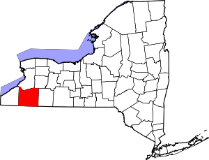 Location of Cattaraugus County in New York
This is intended to be a complete list of properties and districts listed on the National Register of Historic Places in Cattaraugus County, New York. The locations of National Register properties and districts for which the latitude and longitude coordinates are included below, may be seen in a Google map.[1]
-
- This National Park Service list is complete through NPS recent listings posted November 18, 2011.[2]
Contents: Counties in New York Albany (Albany) – Allegany – Bronx – Broome – Cattaraugus – Cayuga – Chautauqua – Chemung – Chenango – Clinton – Columbia – Cortland – Delaware – Dutchess – Erie (Buffalo) – Essex – Franklin – Fulton – Genesee – Greene – Hamilton – Herkimer – Jefferson – Kings (Brooklyn) – Lewis – Livingston – Madison – Monroe (Rochester) – Montgomery – Nassau – New York (Manhattan – Below 14th Street, 14th to 59th Streets, 59th to 110th Streets, Above 110th Street, Islands) – Niagara – Oneida – Onondaga (Syracuse) – Ontario – Orange – Orleans – Oswego – Otsego – Putnam – Queens – Rensselaer – Richmond (Staten Island) – Rockland – Saratoga – Schenectady – Schoharie – Schuyler – Seneca – St. Lawrence – Steuben – Suffolk – Sullivan – Tioga – Tompkins – Ulster – Warren – Washington – Wayne – Westchester (New Rochelle, Peekskill, Yonkers) – Wyoming – Yates Listings county-wide
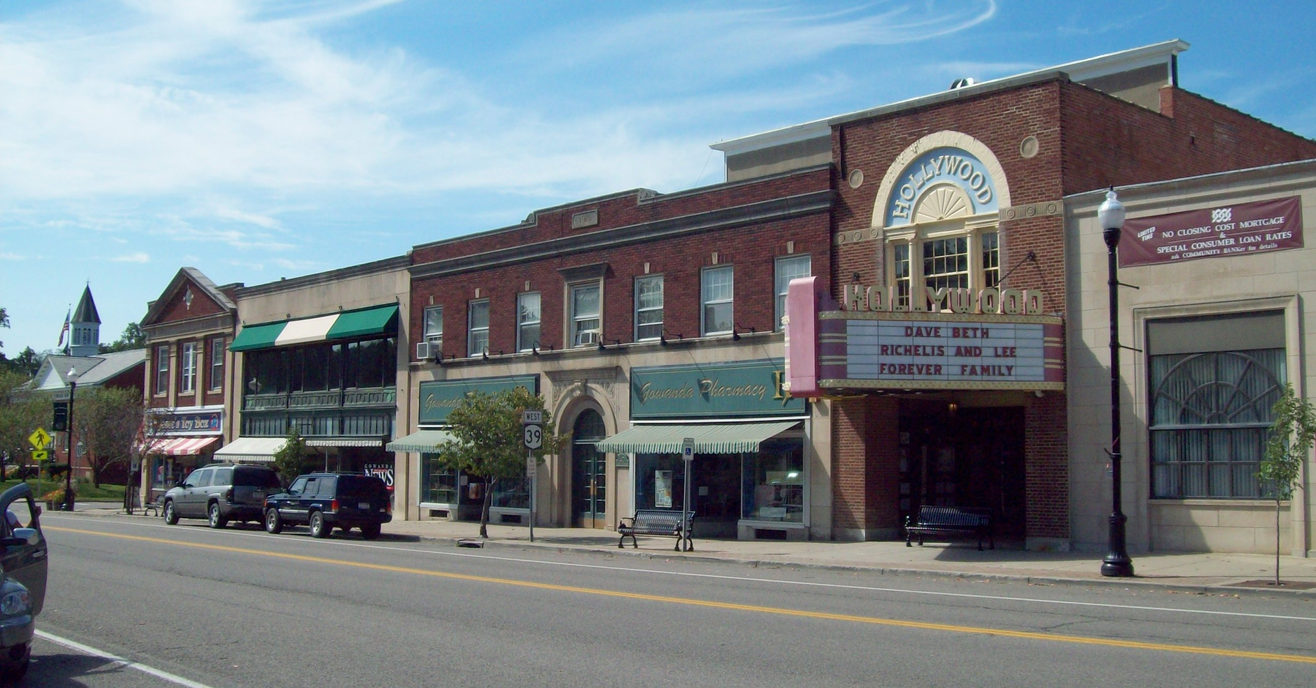
[3] Landmark name Image Date listed Location City or town Summary 1 Bank of Gowanda 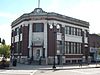
May 25, 2001 8 W. Main St.
42°27′45″N 78°56′10″W / 42.4625°N 78.936111°WGowanda 2 Beardsley-Oliver House 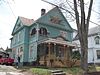
February 28, 2008 312 Laurel Ave.
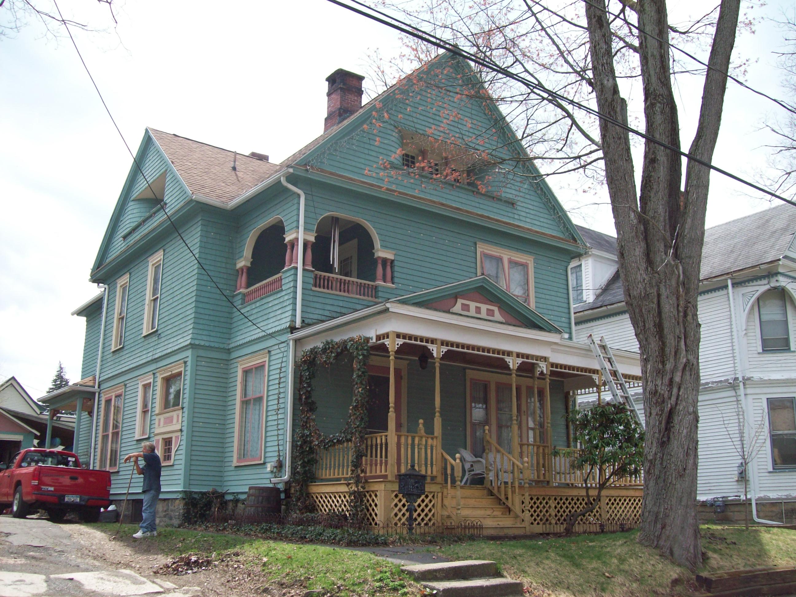
42°04′42″N 78°25′36″W / 42.078333°N 78.426667°WOlean 3 Bedford Corners Historic District 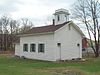
July 5, 2003 NY 305 at Deer Creek and Dodge Creek Rds.
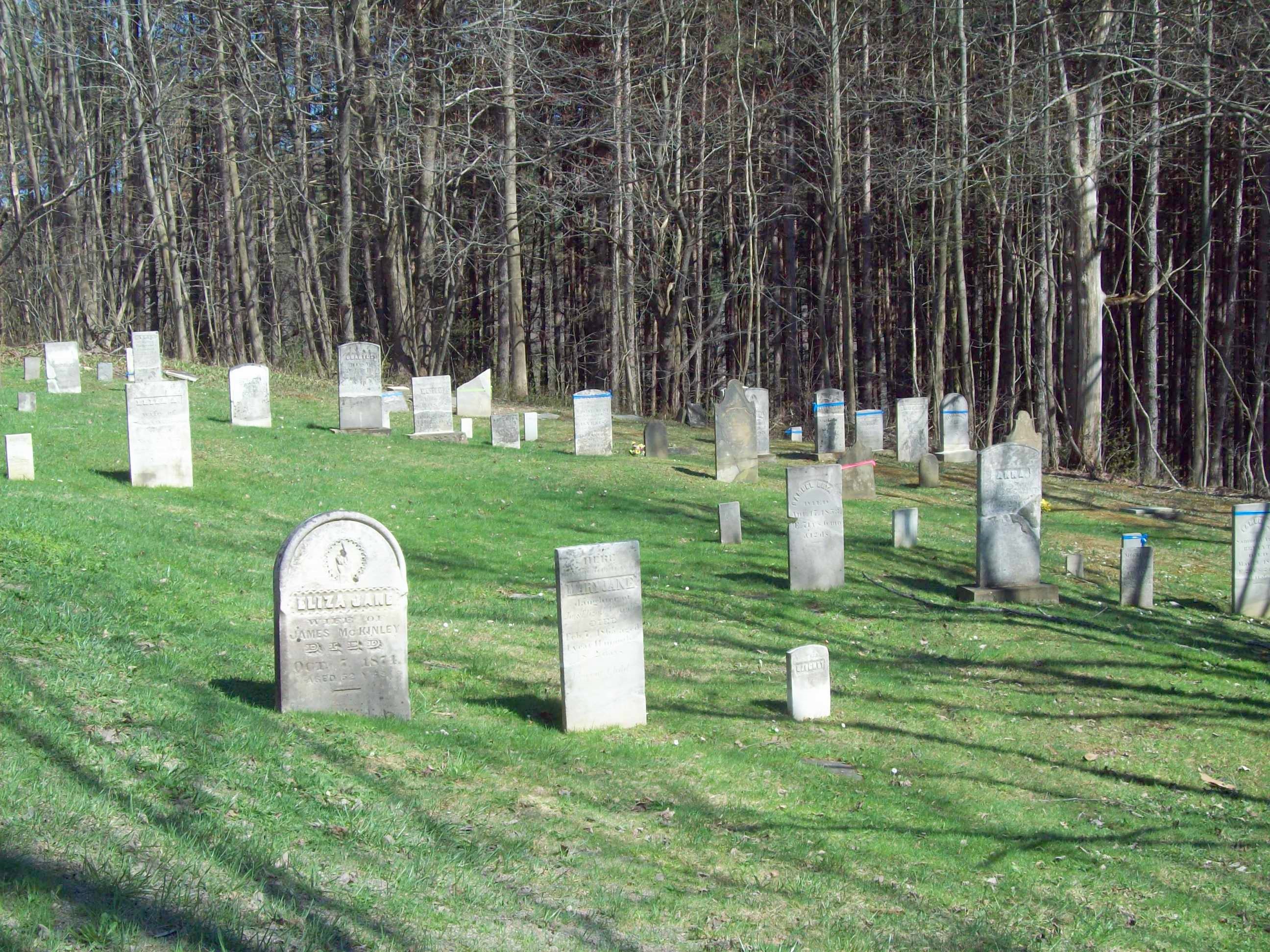
42°03′14″N 78°18′38″W / 42.053889°N 78.310556°WPortville 4 Bryant Hill Cemetery 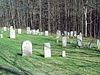
July 5, 2003 Bryant Hill Rd. near Crane Rd.
42°18′19″N 78°36′07″W / 42.305278°N 78.601944°WEllicottville 5 Conklin Mountain House 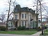
November 19, 1998 304 E. State St.
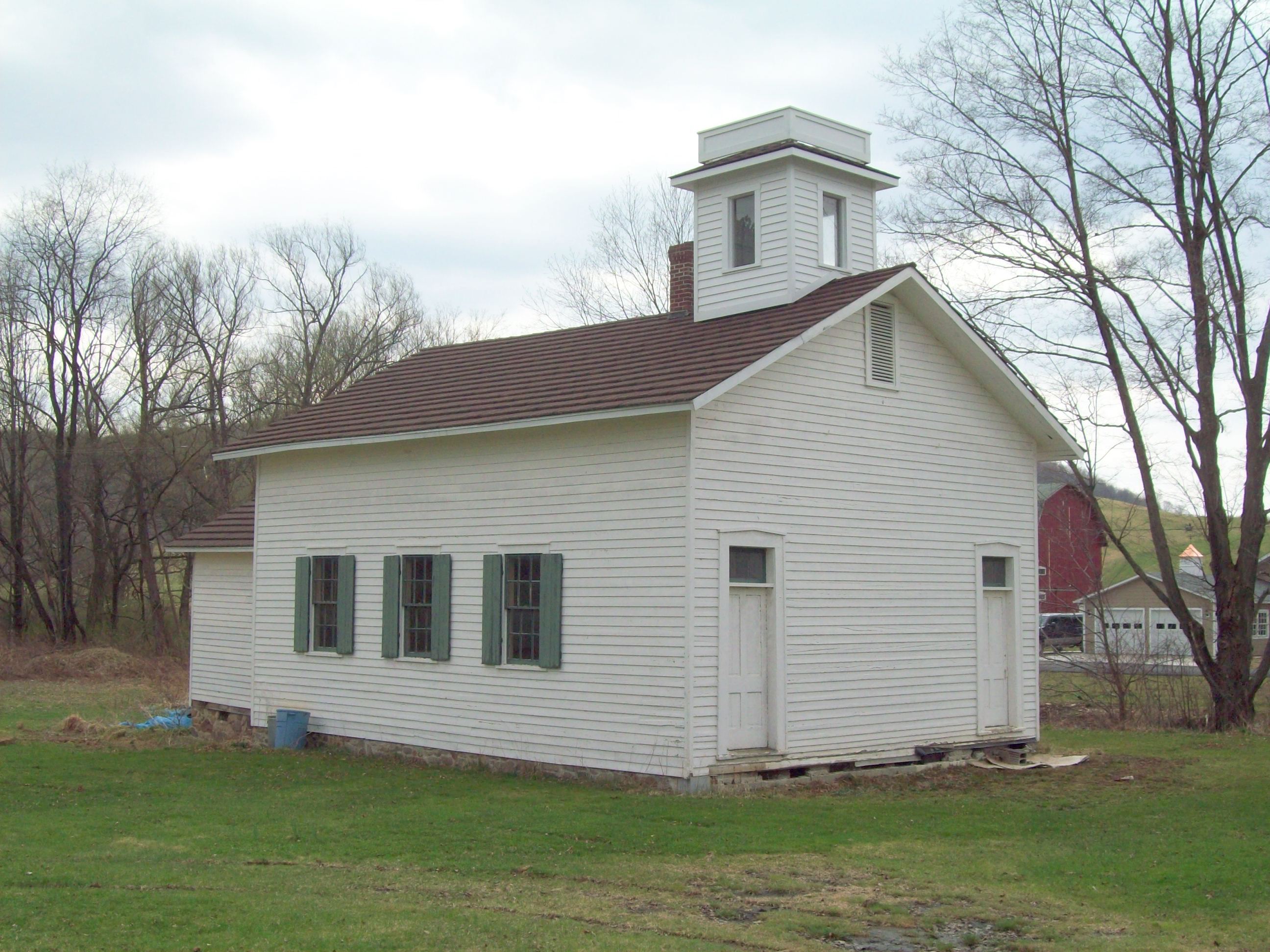
42°04′38″N 78°25′33″W / 42.077222°N 78.425833°WOlean 6 East Otto Union School 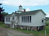
September 15, 2004 9014 East Otto-Springville Rd.
42°23′28″N 78°45′16″W / 42.391111°N 78.754444°WEast Otto 7 Ellicottville Historic District 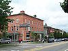
August 22, 1991 Roughly bounded by Elizabeth, Monroe, Martha and Adams Sts.
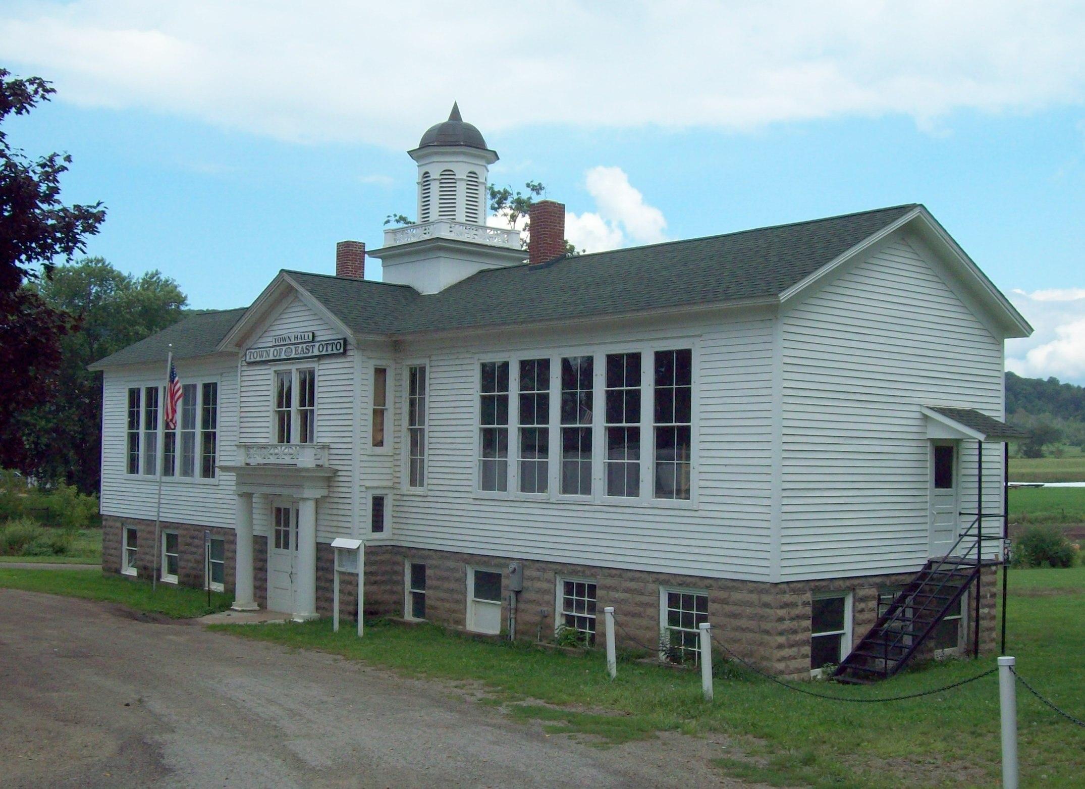
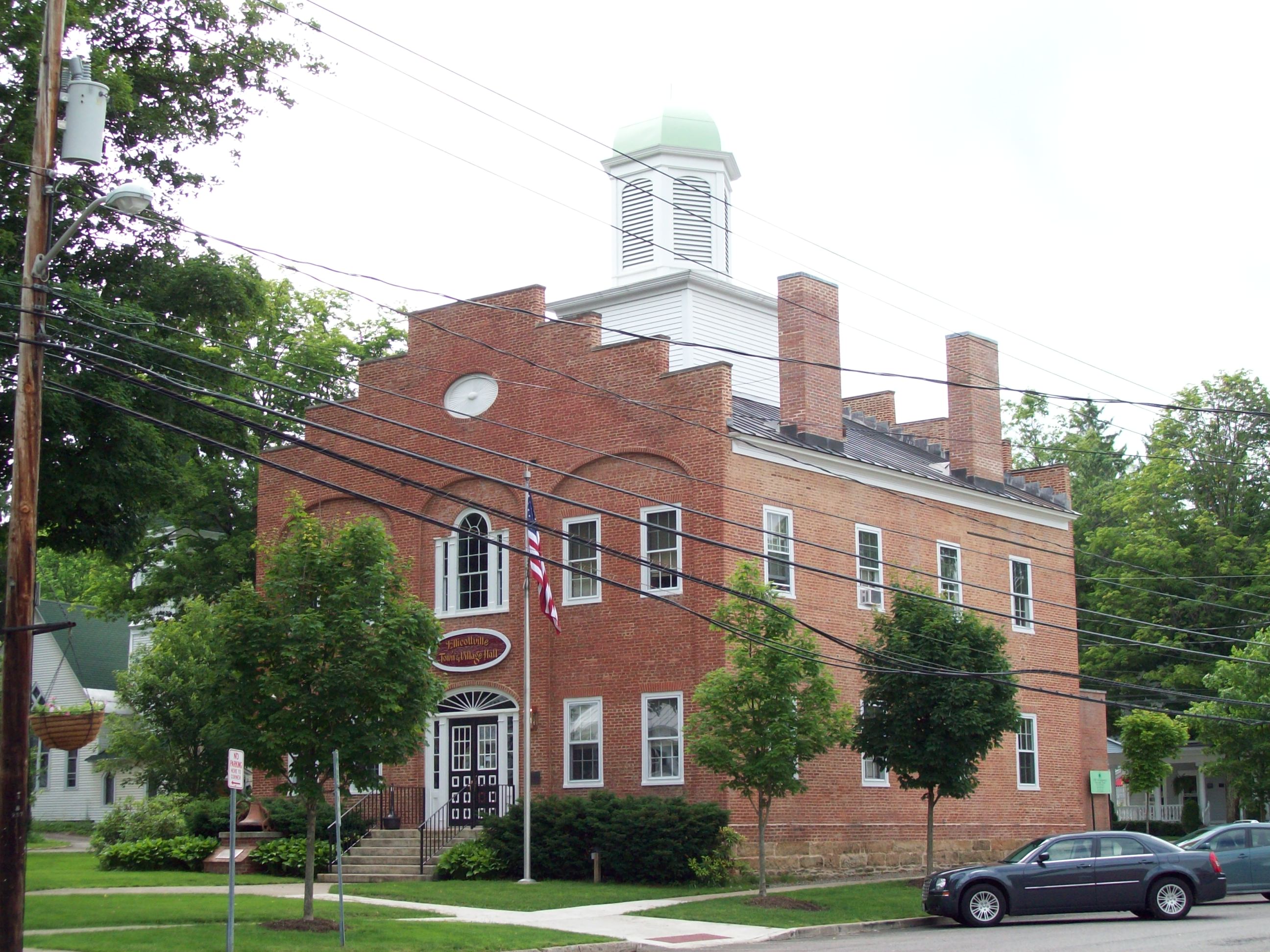
42°16′29.58″N 78°40′23.42″W / 42.2748833°N 78.6731722°W-->Ellicottville 8 Ellicottville Town Hall 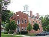
April 3, 1973 Village Sq., NW corner of Washington and Jefferson Sts.
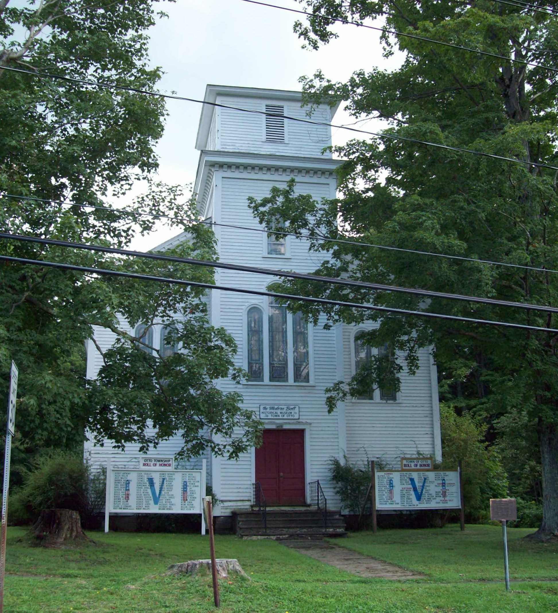
42°16′31″N 78°40′25″W / 42.275278°N 78.673611°WEllicottville 9 First Congregational Church of Otto 
February 12, 1999 9019 Main St.
42°21′19″N 78°49′40″W / 42.355278°N 78.827778°WOtto 10 Gladden Windmill 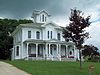
July 16, 1973 Pigeon Valley Rd.
42°14′07″N 78°53′44″W / 42.235278°N 78.895556°WNapoli 11 Gowanda Village Historic District 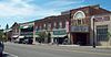
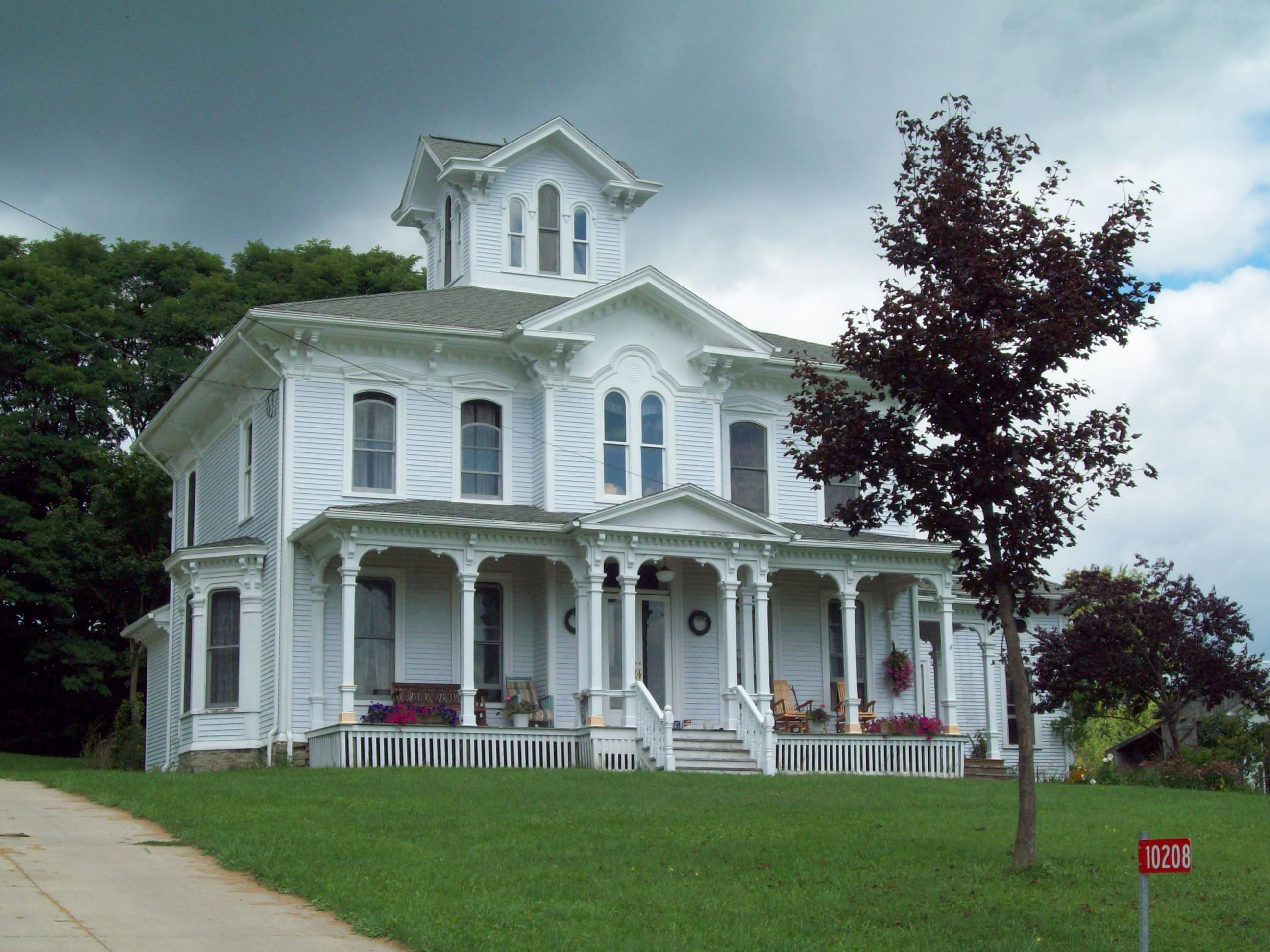
September 22, 1986 37, 39, 41-45, 47-49, and 53 W. Main St.
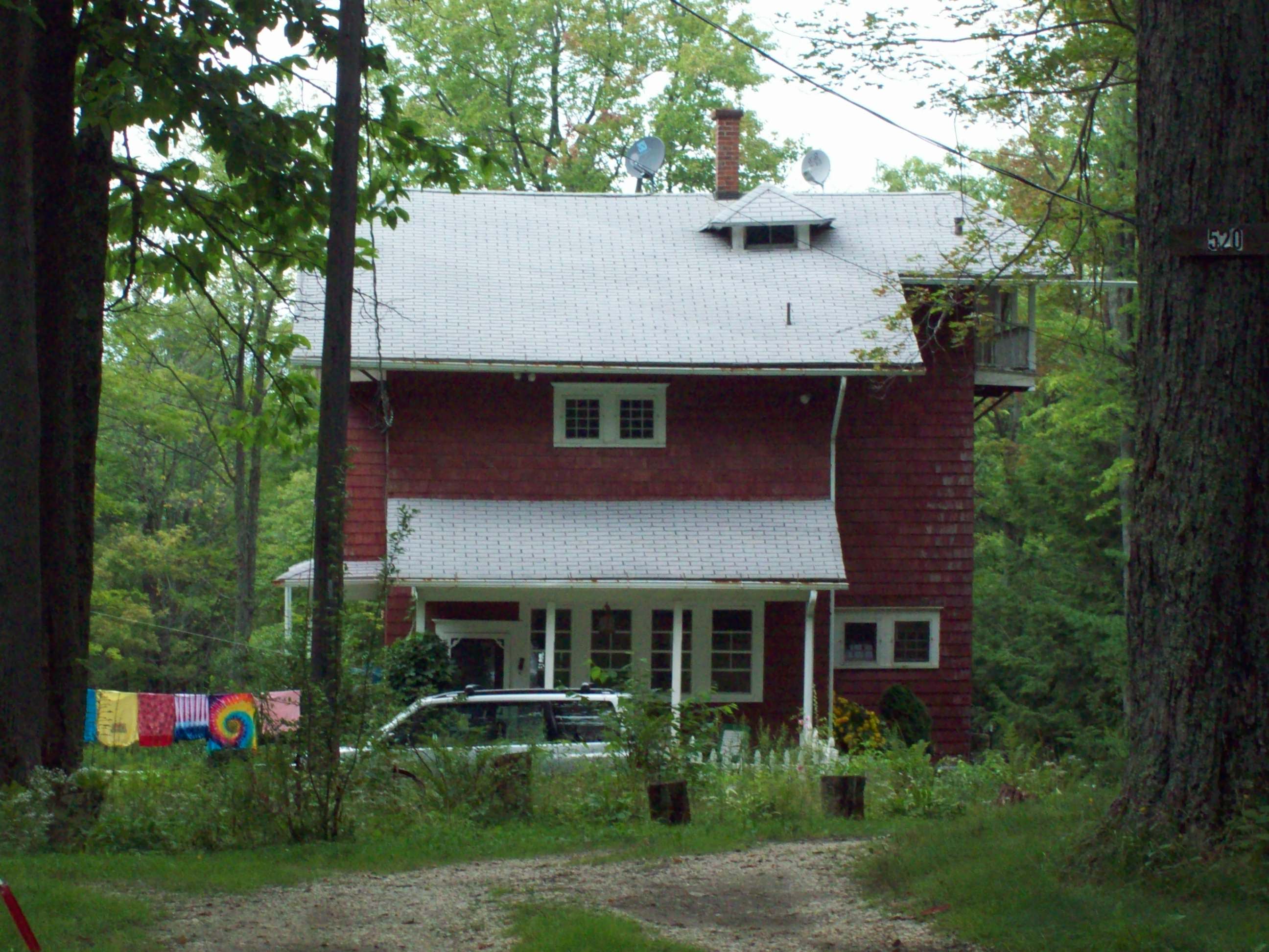
42°27′47″N 78°56′12″W / 42.463056°N 78.936667°WGowanda 12 House at 520 Hostageh Road 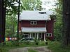
February 20, 2009 520 Ho-Sta-Geh Road
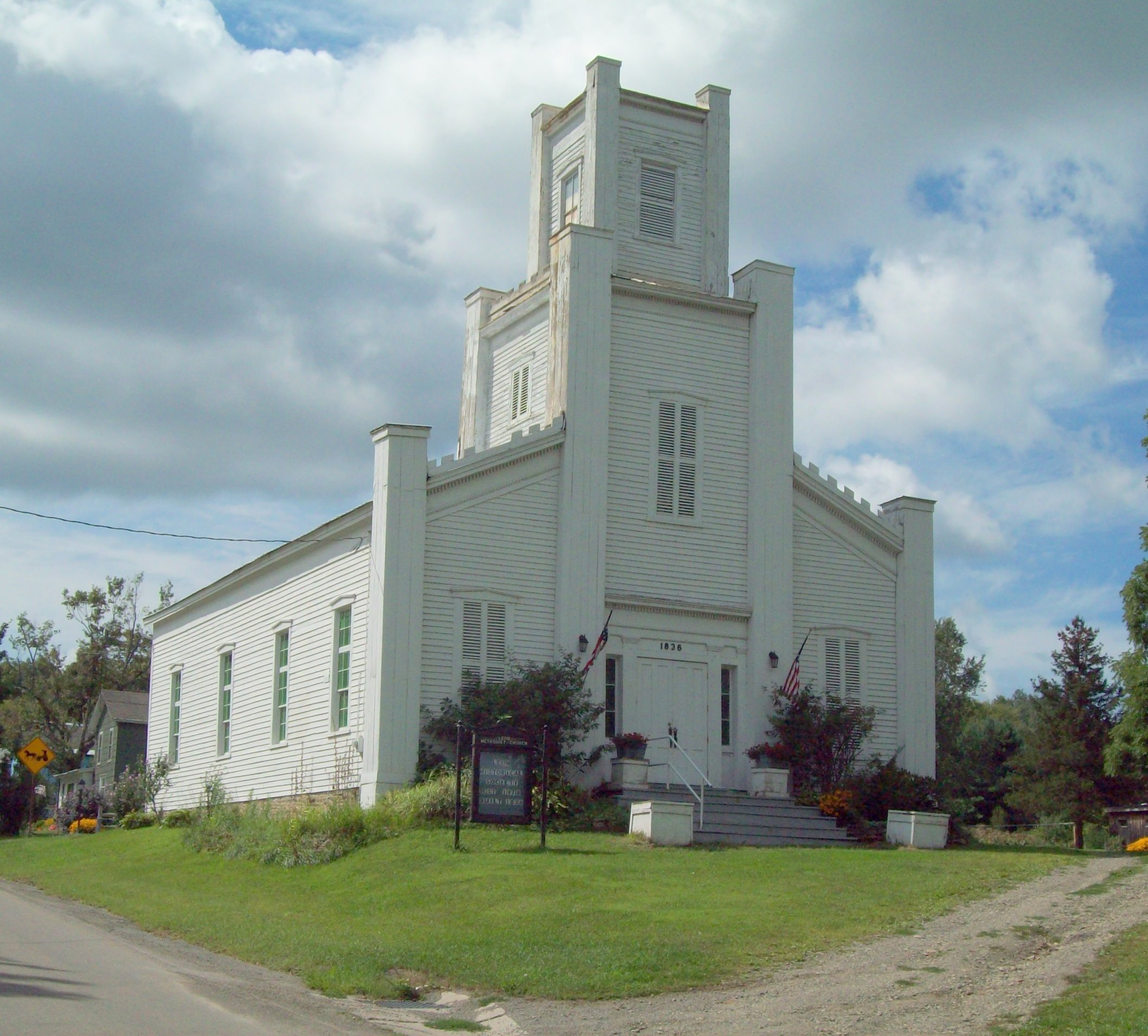
42°00′53″N 78°28′17″W / 42.014672°N 78.471428°WRock City New listing; refnum# 09000038 13 Leon United Methodist Church 
November 22, 2000 Jct. of Cattaraugus Co. 6 and U.S. Route 62
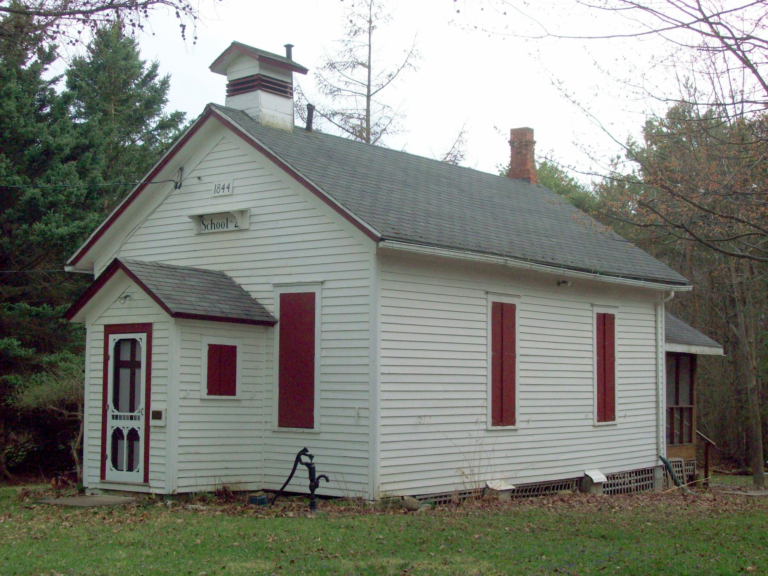
42°17′36″N 79°01′03″W / 42.293333°N 79.0175°WLeon 14 North Lyndon Schoolhouse 
September 15, 2000 7617 North Center Rd.
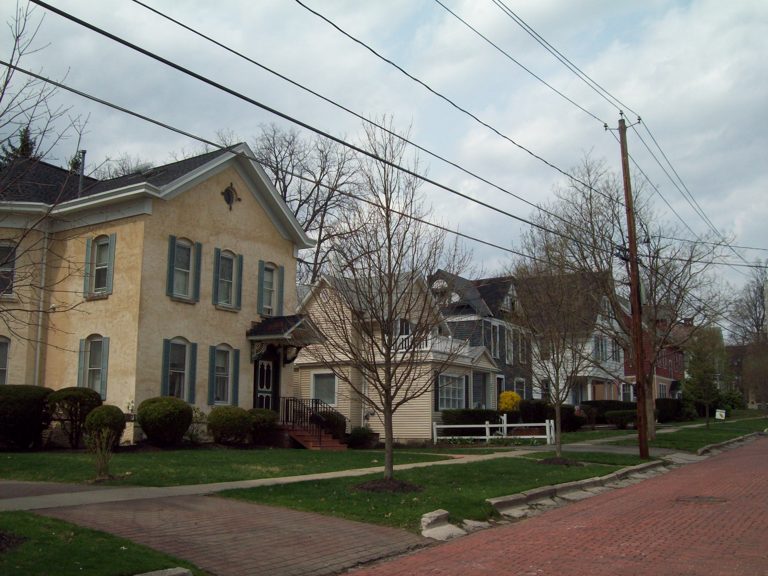
42°19′51″N 78°21′16″W / 42.330833°N 78.354444°WLyndon 15 Oak Hill Park Historic District 
December 1, 1997 Roughly along Laurens, N. Second, Third, Fourth, and W. Sullivan Sts.
42°04′50″N 78°26′04″W / 42.080556°N 78.434444°WOlean 16 Olean Armory 
March 2, 1995 119 Times Sq.
42°04′41″N 78°25′43″W / 42.078056°N 78.428611°WOlean 17 Olean Public Library 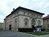
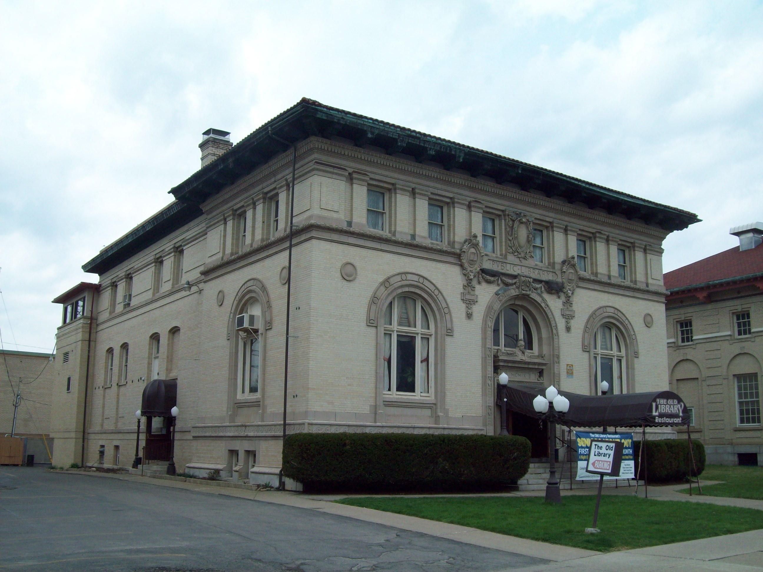
July 11, 1985 116 S. Union St.
42°04′36″N 78°25′50″W / 42.076667°N 78.430556°WOlean 18 Olean School No. 10 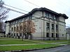
October 1, 2010 411 W. Henley St.
42°04′32″N 78°26′04″W / 42.075556°N 78.434444°WOlean New listing; refnum 10000810 19 Park Square Historic District 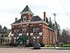
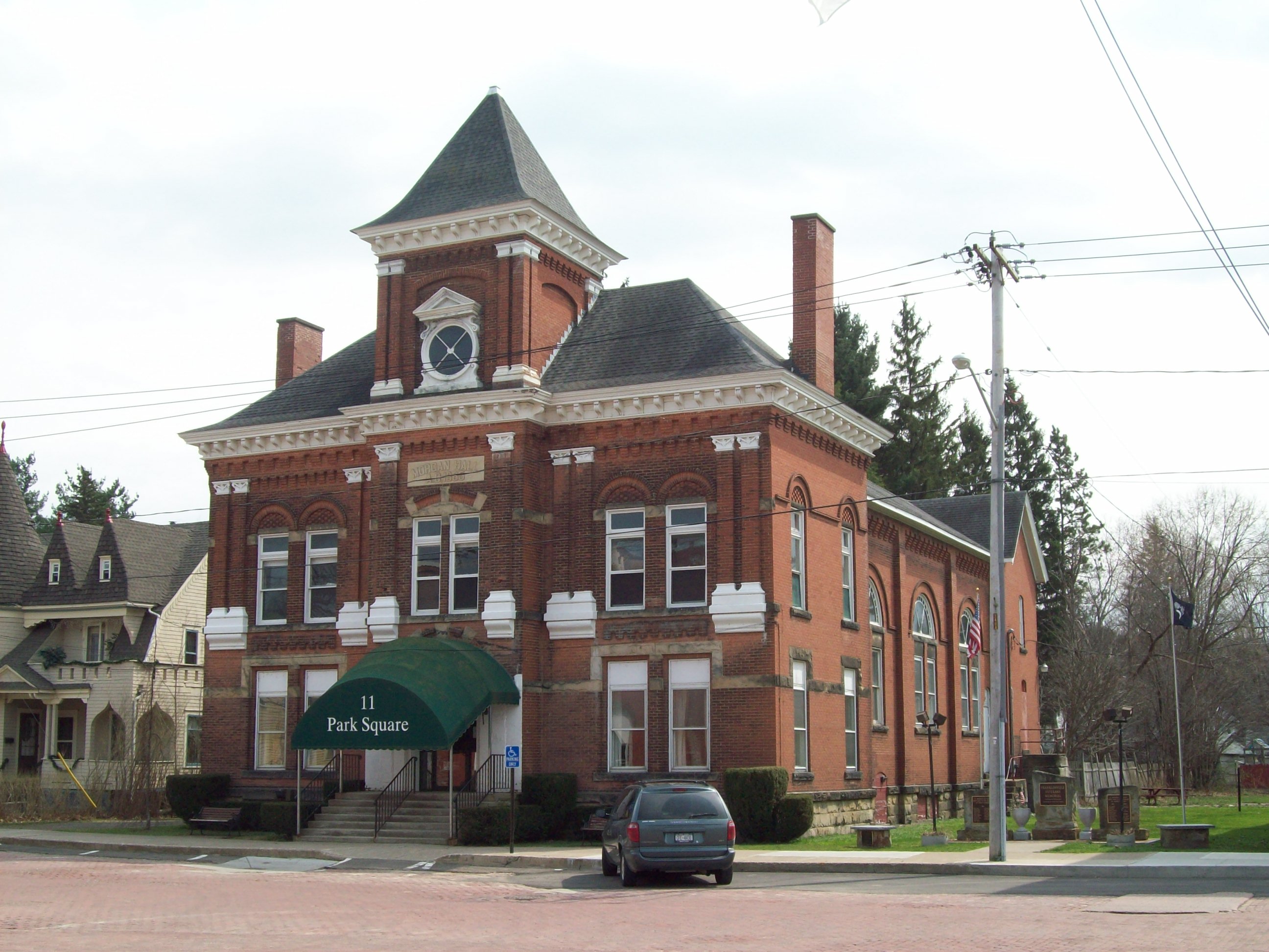
September 22, 1986 Park Square roughly bounded by N. Main, Pine, Chestnut, S. Main, Elm, and Church Sts.
42°20′14″N 78°27′27″W / 42.337222°N 78.4575°WFranklinville 19 Pfeiffer-Wheeler American Chestnut Cabin 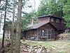
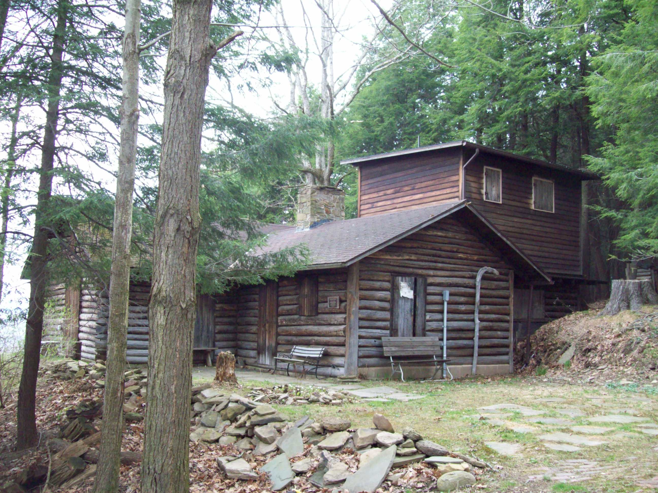
January 11, 2002 Lillibridge Rd.
42°05′34″N 78°19′29″W / 42.092778°N 78.324722°WPortville 21 Portville Free Library 
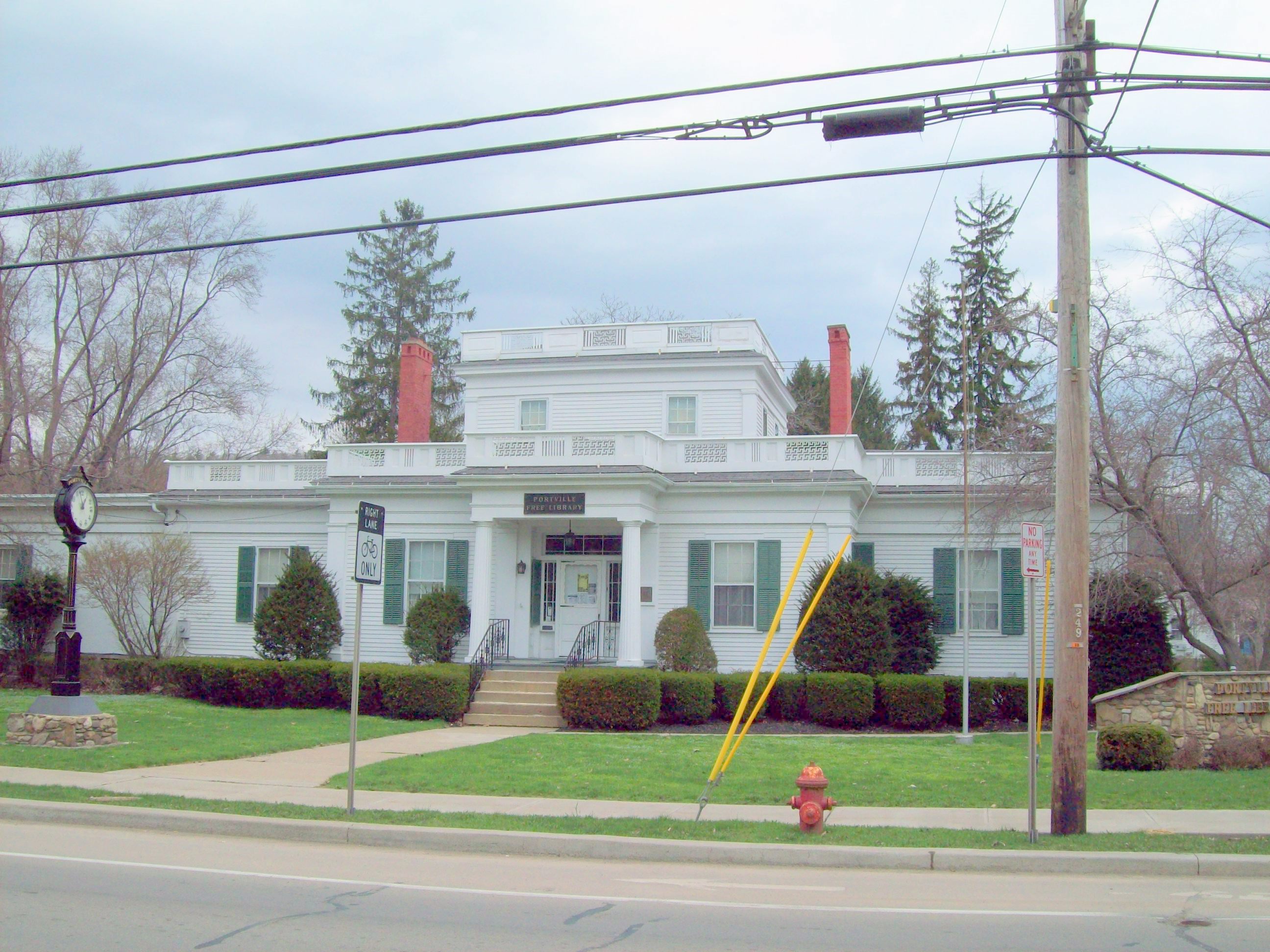
November 7, 1991 2 N. Main St.
42°02′20″N 78°20′25″W / 42.038889°N 78.340278°WPortville 22 Simeon B. Robbins House 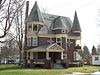
March 7, 2003 9 Pine St.
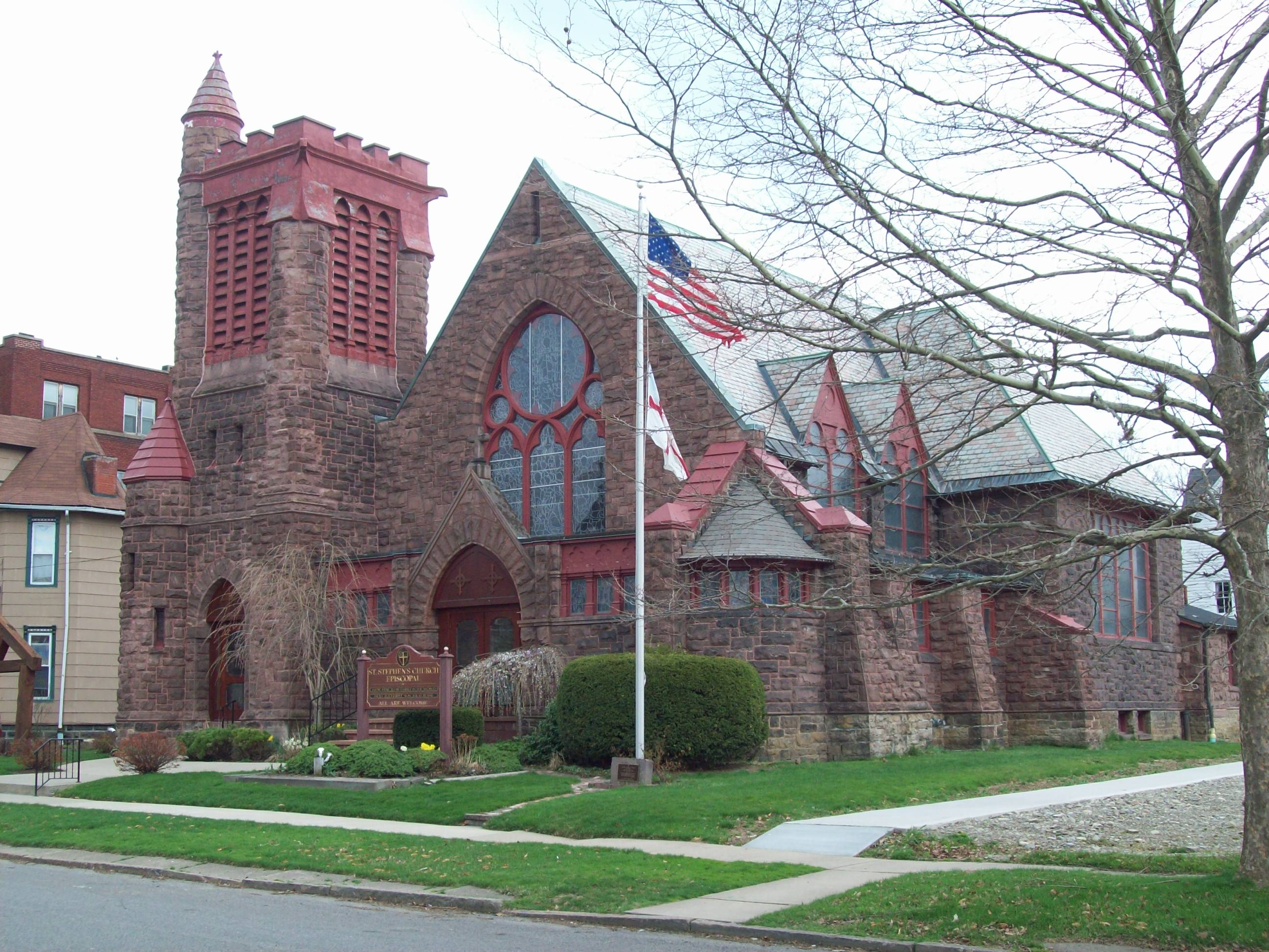
42°20′16″N 78°27′23″W / 42.337778°N 78.456389°WFranklinville 23 St. Stephen's Episcopal Church Complex (Olean, New York) 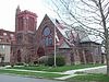
January 26, 2001 109 S. Barry St.
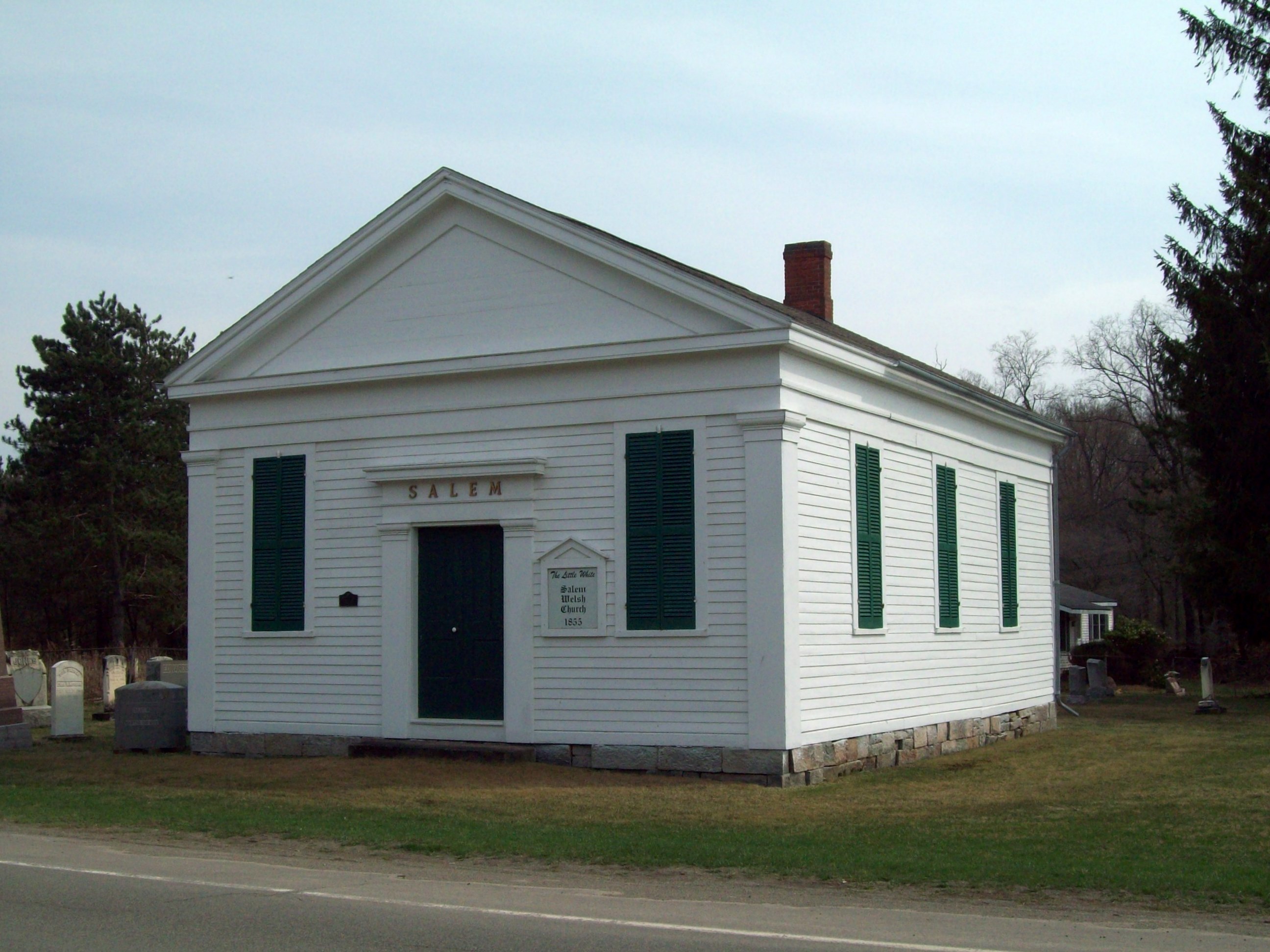
42°04′36″N 78°25′40″W / 42.076667°N 78.427778°WOlean 24 Salem Welsh Church 
September 7, 1995 11141 NY 98 at jct. with Galen Hill Rd.
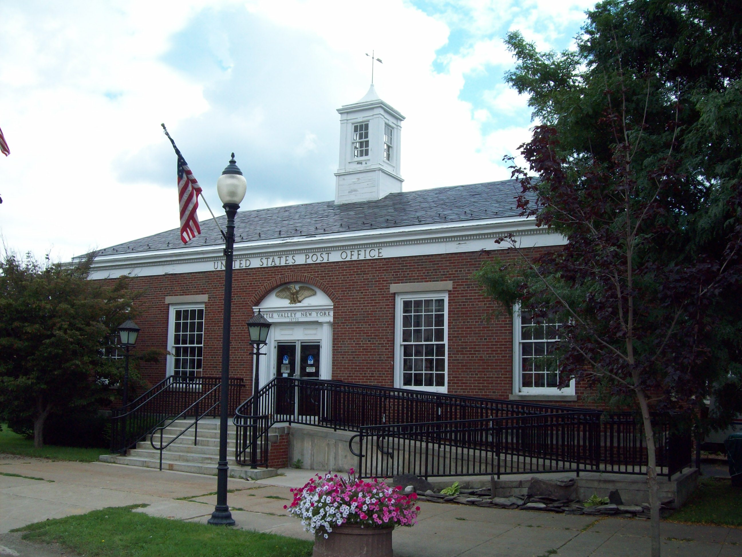
42°29′12″N 78°21′31″W / 42.486667°N 78.358611°WFreedom 25 US Post Office-Little Valley 
May 11, 1989 115 Main St.
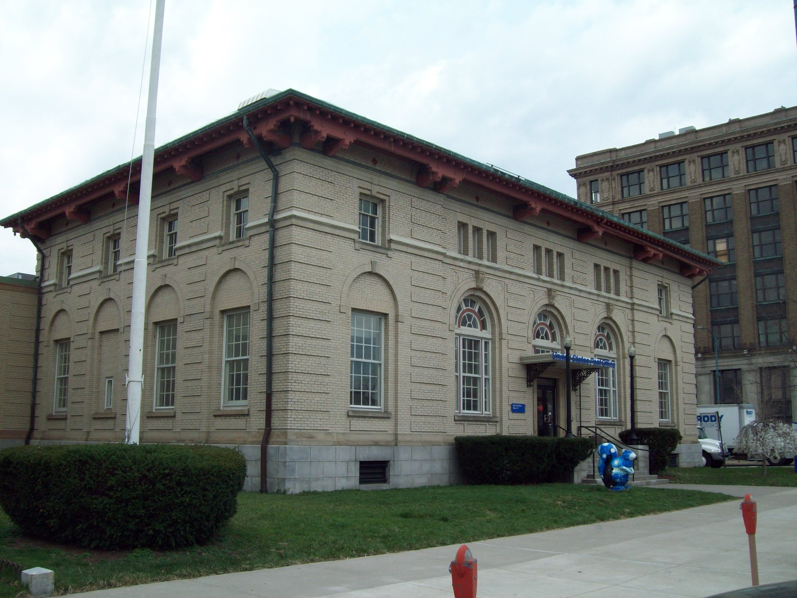
42°14′57″N 78°47′55″W / 42.249167°N 78.798611°WLittle Valley 26 US Post Office-Olean 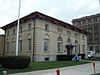
May 11, 1989 102 S. Union St.
42°04′37″N 78°25′50″W / 42.076944°N 78.430556°WOlean 27 William E. Wheeler House 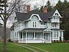
January 11, 2002 29 Maple Ave.
42°02′26″N 78°20′21″W / 42.040556°N 78.339167°WPortville References
- ^ The latitude and longitude information provided is primarily from the National Register Information System, and has been found to be fairly accurate for about 99% of listings. For 1%, the location info may be way off. We seek to correct the coordinate information wherever it is found to be erroneous. Please leave a note in the Discussion page for this article if you believe any specific location is incorrect.
- ^ "National Register of Historic Places: Weekly List Actions". National Park Service, United States Department of the Interior. Retrieved on November 18, 2011.
- ^ Numbers represent an ordering by significant words. Various colorings, defined here, differentiate National Historic Landmark sites and National Register of Historic Places Districts from other NRHP buildings, structures, sites or objects.
External links
A useful list of the above sites, with street addresses and other information, is available at Cattaraugus County listing, at National Register of Historic Places.Com, a private site serving up public domain information on NRHPs.
Categories:- Cattaraugus County, New York
- National Register of Historic Places in New York by county
-


Wikimedia Foundation. 2010.