- National Register of Historic Places listings in Erie County, New York
-
 Location of Erie County in New York
List of Registered Historic Places in Erie County, New York
This is intended to be a complete list of properties and districts listed on the National Register of Historic Places in Erie County, New York outside of the city of Buffalo. The locations of National Register properties and districts (at least for all showing latitude and longitude coordinates below) may be seen in a Google map by clicking on "Map of all coordinates".[1]
There are 150 properties and districts listed on the National Register in the county. Fifty-eight are outside of the city of Buffalo, and are listed here. Ninety-two are in Buffalo, and are in the accompanying list-article National Register of Historic Places listings in Buffalo, New York.
-
- This National Park Service list is complete through NPS recent listings posted November 18, 2011.[2]
Contents: Counties in New York Albany (Albany) – Allegany – Bronx – Broome – Cattaraugus – Cayuga – Chautauqua – Chemung – Chenango – Clinton – Columbia – Cortland – Delaware – Dutchess – Erie (Buffalo) – Essex – Franklin – Fulton – Genesee – Greene – Hamilton – Herkimer – Jefferson – Kings (Brooklyn) – Lewis – Livingston – Madison – Monroe (Rochester) – Montgomery – Nassau – New York (Manhattan – Below 14th Street, 14th to 59th Streets, 59th to 110th Streets, Above 110th Street, Islands) – Niagara – Oneida – Onondaga (Syracuse) – Ontario – Orange – Orleans – Oswego – Otsego – Putnam – Queens – Rensselaer – Richmond (Staten Island) – Rockland – Saratoga – Schenectady – Schoharie – Schuyler – Seneca – St. Lawrence – Steuben – Suffolk – Sullivan – Tioga – Tompkins – Ulster – Warren – Washington – Wayne – Westchester (New Rochelle, Peekskill, Yonkers) – Wyoming – Yates Listings county-wide
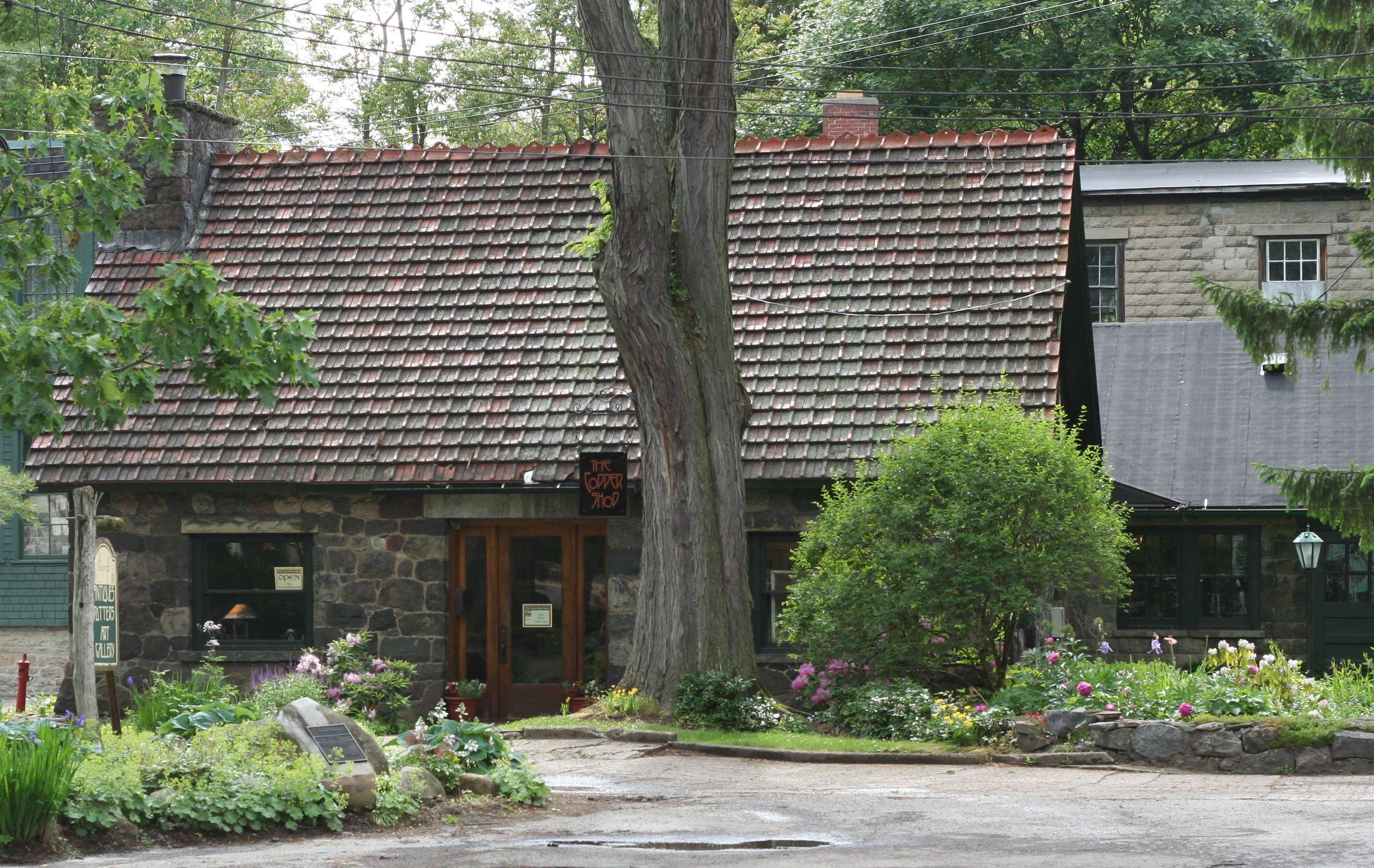
[3] Landmark name Image Date listed Location City or town Summary 1 The Baptist Church of Springville 
December 5, 2008 37 N. Buffalo St.
42°30′35″N 78°40′02″W / 42.509761°N 78.667089°WSpringville New listing; refnum# 08001140 2 Bruce-Briggs Brick Block 
November 30, 1999 5481-5483-5485 Broadway
42°53′57″N 78°40′02″W / 42.899167°N 78.667222°WLancaster 3 Buffalo Harbor South Entrance Light 
November 16, 2007 Stony Pt. end of Buffalo Harbor S breakwater
42°50′00″N 78°52′03″W / 42.833333°N 78.8675°WLackawanna 4 Buffalo, Rochester and Pittsburgh Railroad Station 
November 7, 1991 227 W. Main St.
42°30′32″N 78°40′32″W / 42.509006°N 78.675481°WSpringville 5 Buffalo, Rochester and Pittsburgh Railroad Station 
August 30, 2007 395 S. Lincoln Ave.
42°45′31″N 78°44′51″W / 42.75861°N 78.7475°WOrchard Park 6 Our Lady Help of Christians Chapel (Cheektowaga, New York) 
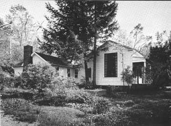
December 14, 1978 4125 Union Rd.
42°55′34″N 78°45′14″W / 42.926111°N 78.753889°WCheektowaga 7 Citizens National Bank 
April 5, 1996 5 W. Main St.
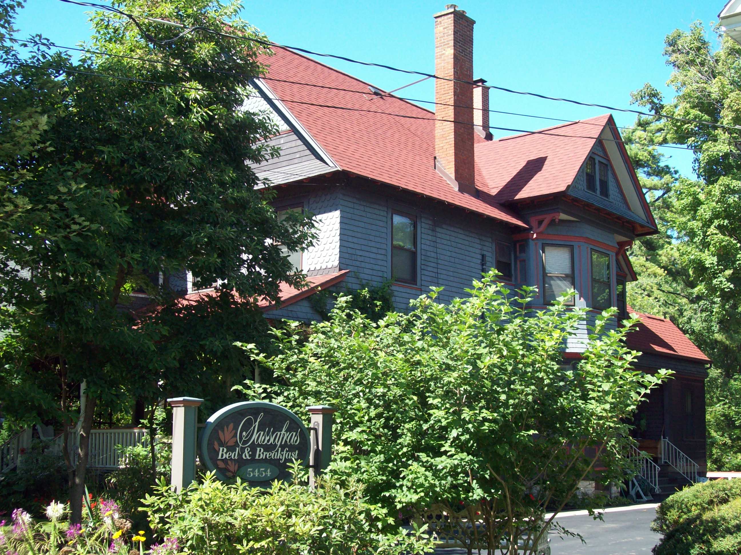
42°30′32″N 78°40′04″W / 42.508889°N 78.667778°WSpringville 8 Clark-Lester House 
November 30, 1999 5454 Broadway
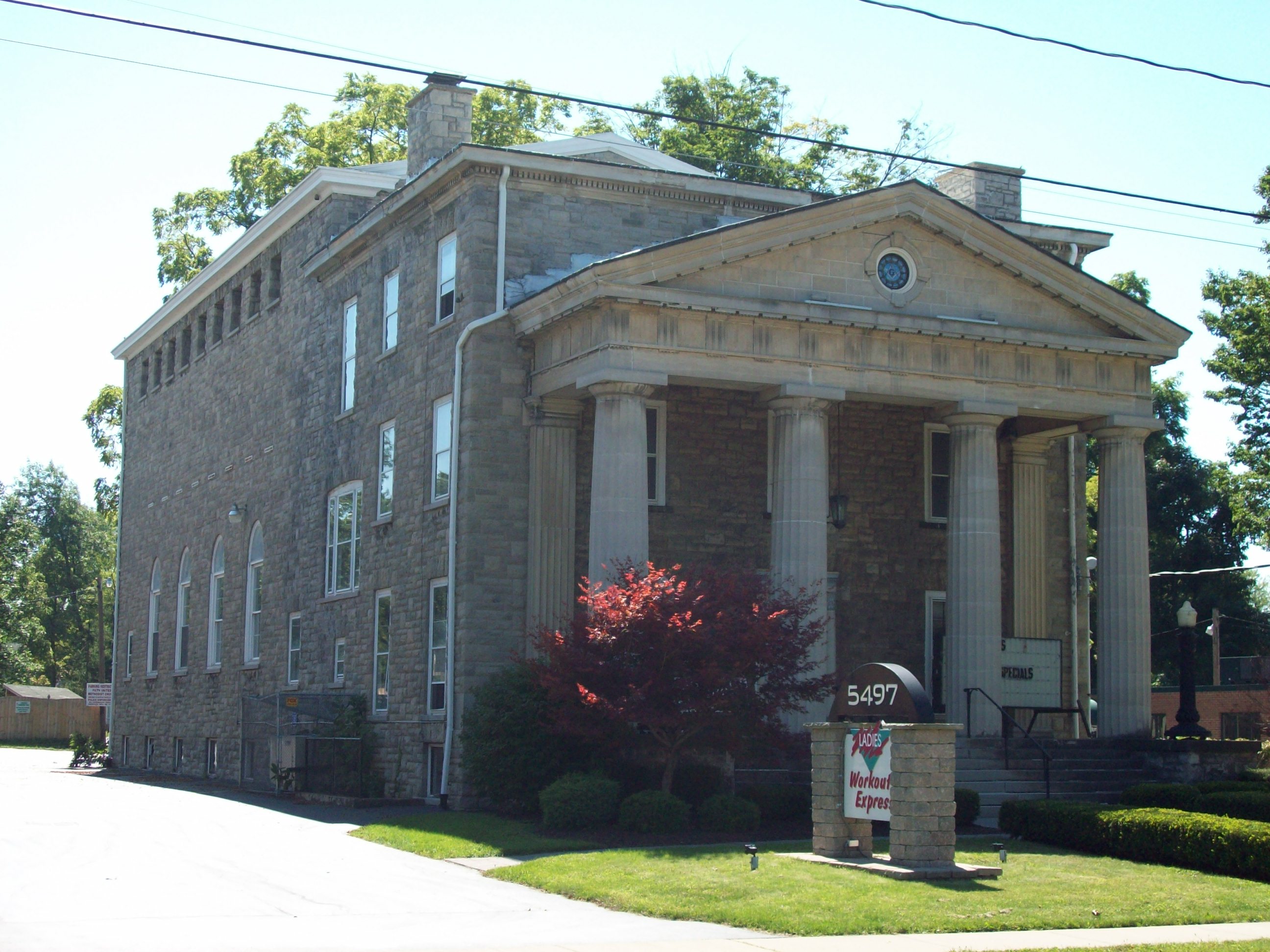
42°54′00″N 78°40′06″W / 42.9°N 78.668333°WLancaster 9 DePew Lodge No. 823, Free and Accepted Masons 
November 30, 1999 5497 Broadway
42°53′56″N 78°40′00″W / 42.898889°N 78.666667°WLancaster 10 East Main-Mechanic Streets Historic District 
January 24, 2002 Approx. jct. of East Main and Mechanic Sts.
42°30′30″N 78°39′59″W / 42.508333°N 78.666389°WSpringville 11 Eaton Site 
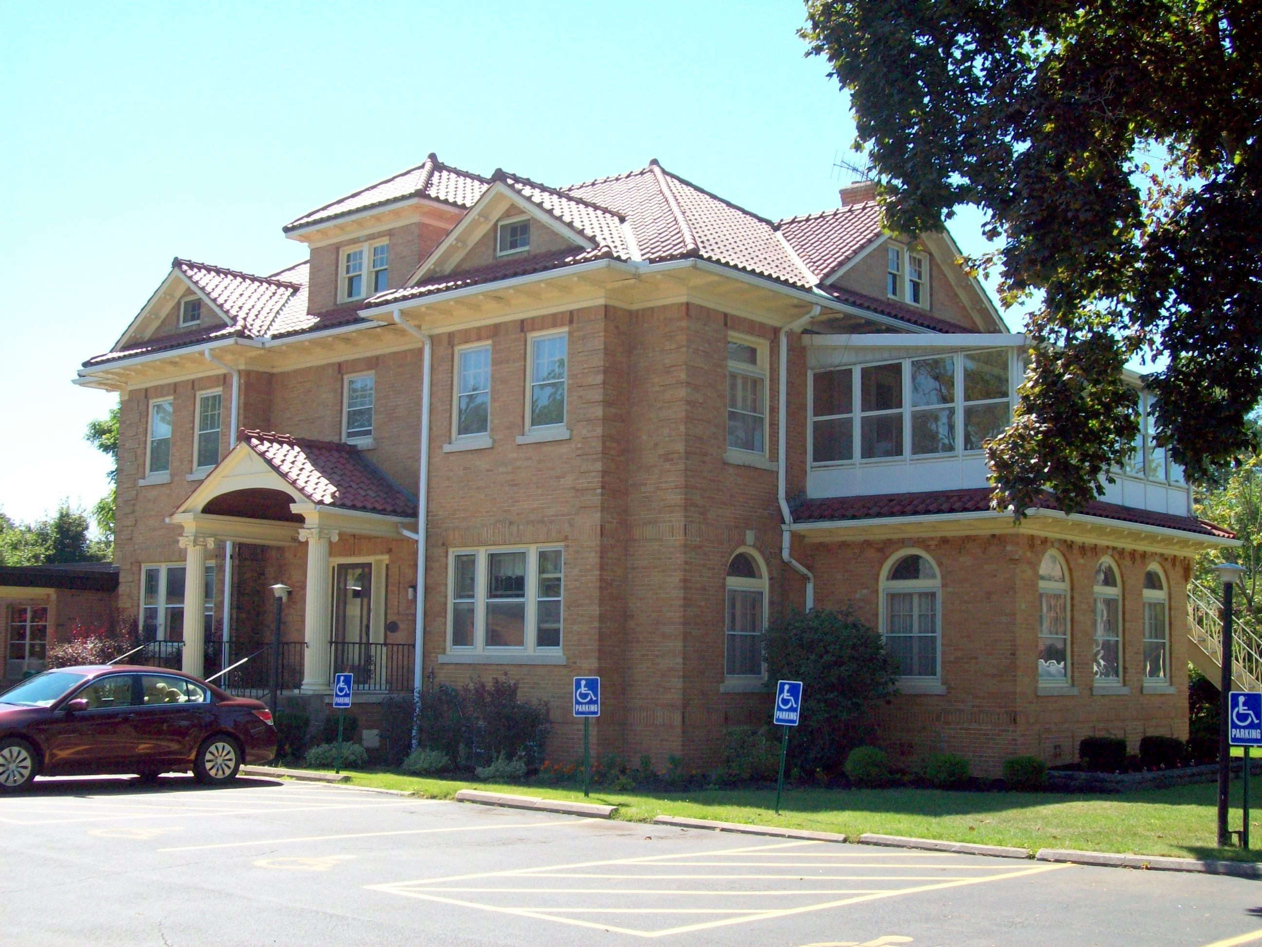
April 3, 1979 Address Restricted West Seneca 12 Eberhardt Mansion 
September 8, 1983 2746 Delaware Ave.
42°57′32″N 78°52′12″W / 42.958889°N 78.87°WKenmore 13 Entranceway at Main Street at Darwin Drive 
July 23, 2009 Main St. at Darwin Dr.
42°57′42″N 78°46′42″W / 42.961661°N 78.778344°WAmherst New listing; refnum 09000554 14 Entranceway at Main Street at High Park Boulevard 
July 23, 2009 Main St. at High Park Blvd.
42°57′52″N 78°48′01″W / 42.964486°N 78.800369°WAmherst New listing; refnum 09000555 15 Entranceway at Main Street at Lafayette Boulevard 
July 23, 2009 Main St. at Lafayette Blvd.
42°57′37″N 78°45′39″W / 42.960192°N 78.760939°WAmherst New listing; refnum 09000556 16 Entranceway at Main Street at LeBrun Road 
July 23, 2009 Main St. at LeBrun Rd.
42°57′52″N 78°47′52″W / 42.964325°N 78.797653°WAmherst New listing; refnum 09000557 17 Entranceway at Main Street at Roycroft Boulevard 
December 7, 2005 Main St., jct. with Roycroft Blvd.
42°57′44″N 78°46′48″W / 42.962208°N 78.779986°WAmherst 18 Entranceway at Main Street at Westfield Road and Ivyhurst Road 
July 23, 2009 Main St. at Westfield Rd. and Ivyhurst Rd.
42°57′51″N 78°48′06″W / 42.964214°N 78.801731°WAmherst New listing; refnum 09000558 19 Entranceways at Main Street at Lamarck Drive and Smallwood Drive 
December 7, 2005 Main St. at Lamarck Dr. and Smallwood Dr.
42°57′45″N 78°46′27″W / 42.9625°N 78.774167°WAmherst 20 J. Eshelman and Company Store 
May 6, 1982 6000 Goodrich Rd.
43°00′38″N 78°38′15″W / 43.010556°N 78.6375°WClarence Center 21 Millard Fillmore House 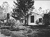
May 30, 1974 24 Shearer Ave.
42°46′06″N 78°37′21″W / 42.768333°N 78.6225°WEast Aurora 22 First Church of Evans Complex 
April 12, 2006 7431 Erie Rd.
42°41′00″N 79°00′48″W / 42.683333°N 79.013333°WDerby 23 Gamel Hexadecagon Barn 
September 29, 1984 Shirley Rd.
42°34′39″N 78°55′39″W / 42.5775°N 78.9275°WNorth Collins 24 Garrison Cemetery 
October 10, 2002 Aero Dr.
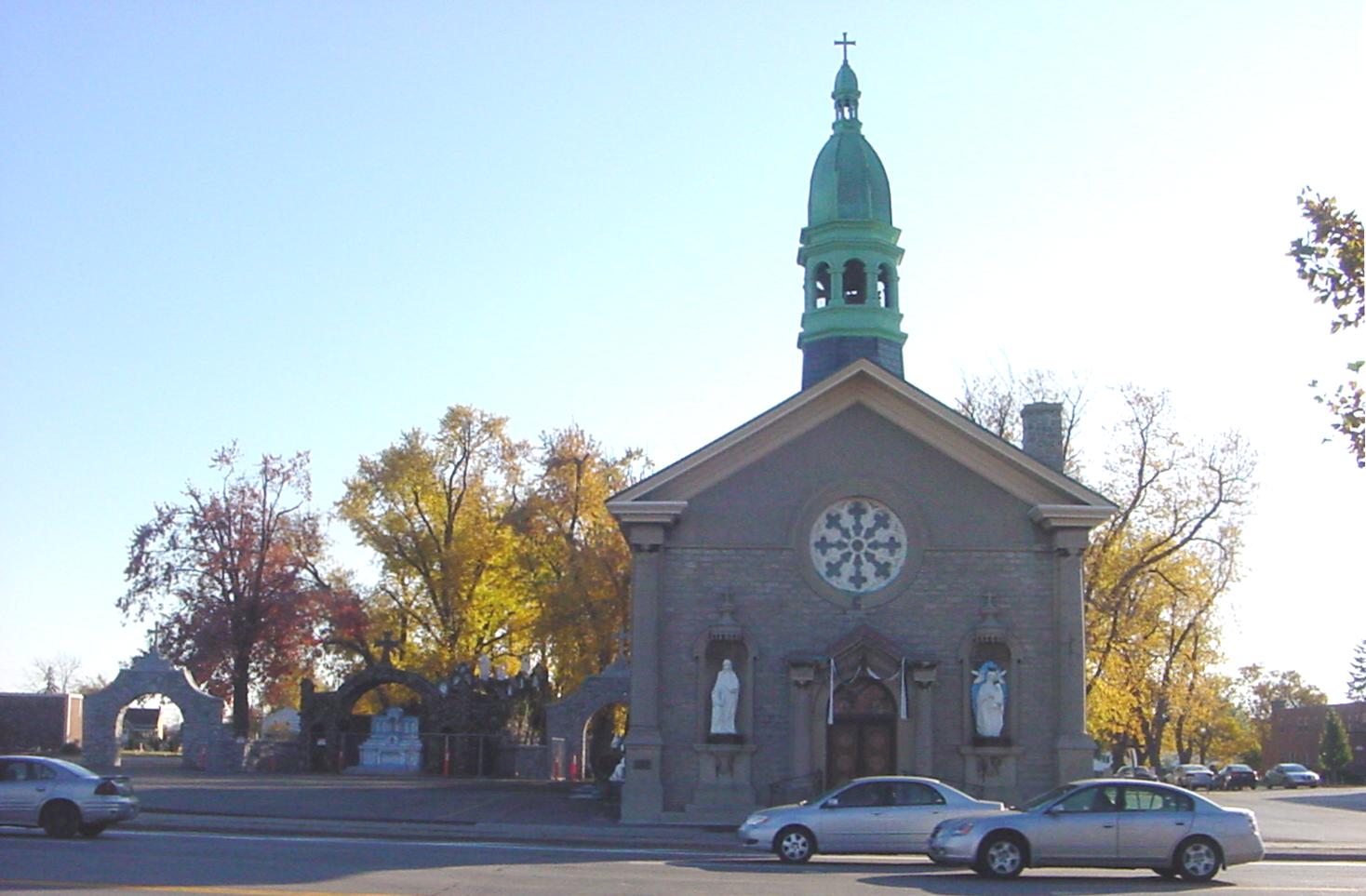
42°56′49″N 78°43′50″W / 42.946944°N 78.730556°WCheektowaga 25 Graycliff 
October 1, 1998 6472-6482 Lakeshore Rd.
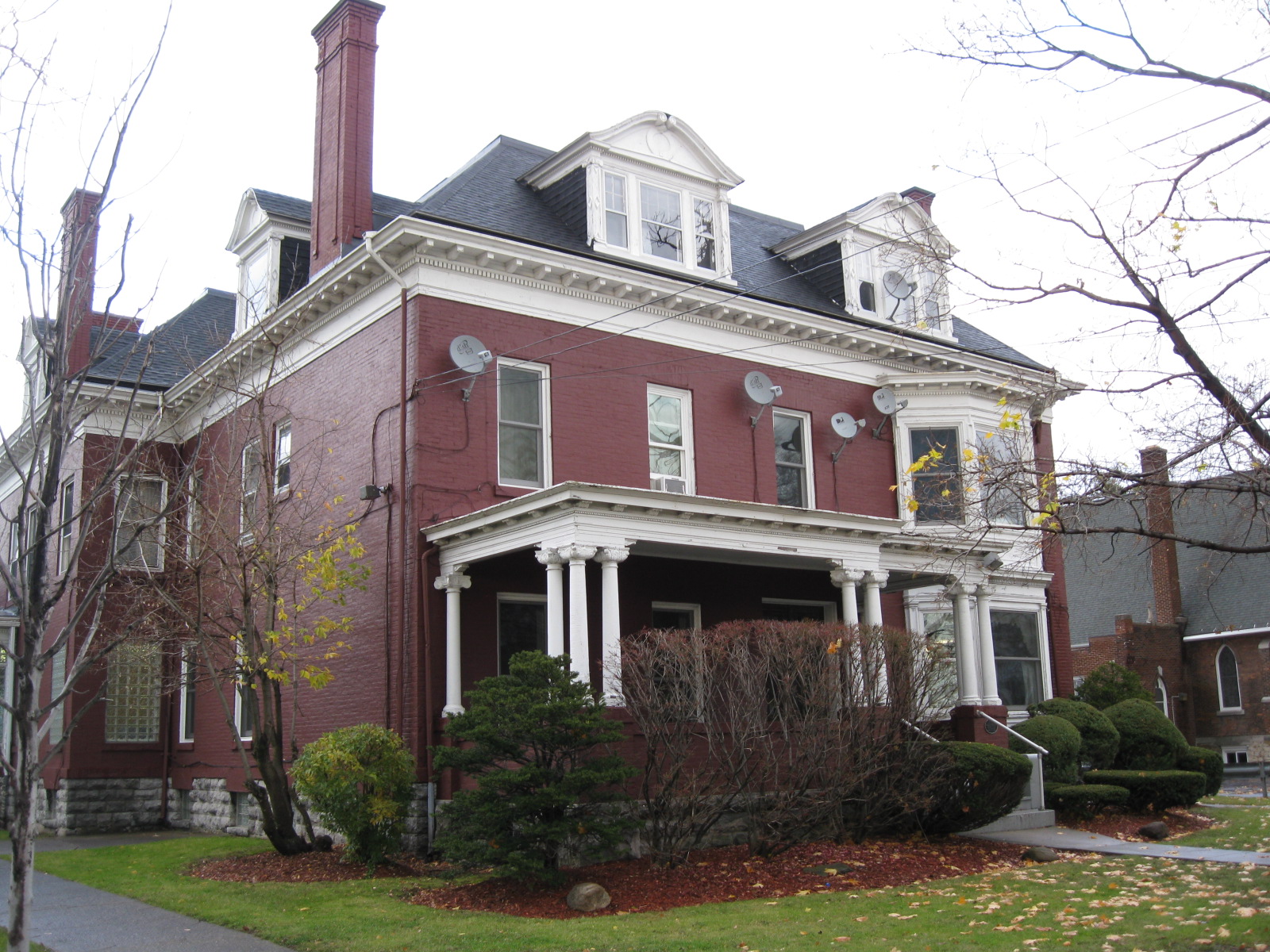
42°42′44″N 78°58′20″W / 42.712222°N 78.972222°WDerby Designed by Frank Lloyd Wright as the summer estate for Isabelle and Darwin Martin (1926-31,) Graycliff is also a New York State Landmark 26 Warren Hull House 
May 11, 1992 5976 Genesee St.
42°56′44″N 78°37′23″W / 42.945556°N 78.623056°WLancaster 27 Johnson-Jolls Complex 
May 6, 1980 S-4287 S. Buffalo St.
42°45′28″N 78°44′39″W / 42.757778°N 78.744167°WOrchard Park 28 Kibler High School 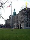
January 15, 1999 284 Main St.
43°00′42″N 78°52′53″W / 43.011667°N 78.881389°WTonawanda 29 Kleis Site 
April 20, 1979 Address Restricted Hamburg 30 Lancaster District School No. 6 
November 18, 2008 3703 Bowen Rd.
42°52′53″N 78°38′24″W / 42.881389°N 78.64°WLancaster 31 Lancaster Municipal Building 
November 30, 1999 5423 Broadway
42°54′00″N 78°40′14″W / 42.9°N 78.670556°WLancaster 32 Liebler-Rohl Gasoline Station 
November 30, 1999 5500 Broadway
42°53′58″N 78°39′59″W / 42.899444°N 78.666389°WLancaster 33 Miller-Mackey House 
November 30, 1999 5440 Broadway
42°54′01″N 78°40′09″W / 42.900278°N 78.669167°WLancaster 34 Dr. John J. Nowak House 
November 30, 1999 5539 Broadway
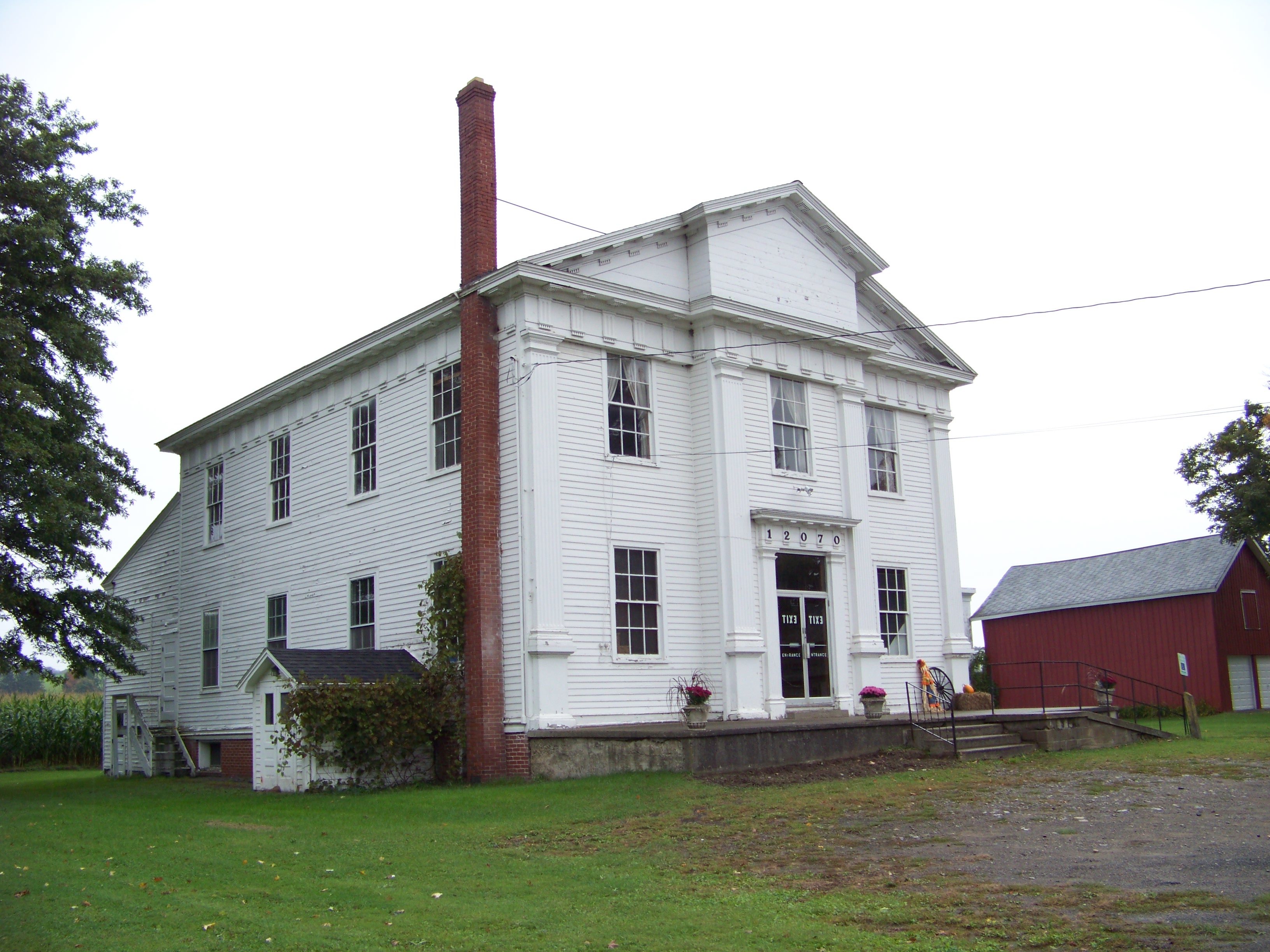
42°53′51″N 78°39′49″W / 42.8975°N 78.663611°WLancaster 35 Old Sardinia Town Hall 
December 23, 2008 12070 Savage Road
42°32′58″N 78°30′29″W / 42.549508°N 78.508081°WSardinia New listing; refnum#08001231 36 Former Reformed Mennonite Church 
July 3, 2003 5178 Main St.
42°57′39″N 78°45′35″W / 42.960833°N 78.759722°WWilliamsville 37 Rich-Twinn Octagon House 
February 10, 1995 145 Main St.
43°01′19″N 78°29′44″W / 43.021944°N 78.495556°WAkron 38 John Richardson House 
November 30, 1999 5653 Broadway
42°53′48″N 78°39′29″W / 42.896667°N 78.658056°WLancaster 39 Rider-Hopkins Farm and Olmsted Camp 
January 15, 1999 12820 Benton Rd.
42°31′52″N 78°30′43″W / 42.531111°N 78.511944°WSardinia 40 Roycroft Campus 
November 8, 1974 Main and W. Grove Sts.
42°46′01″N 78°37′09″W / 42.766944°N 78.619167°WEast Aurora 41 George and Gladys Scheidemantel House 
August 5, 1993 363 Oakwood Ave.
42°45′56″N 78°37′18″W / 42.765556°N 78.621667°WEast Aurora 42 Scobey Power Plant and Dam 
September 20, 1996 Jct. of Scobey Hill Rd. and Cattaraugus Cr.
42°28′42″N 78°41′56″W / 42.478333°N 78.698889°WSpringville 43 Spaulding-Sidway Boathouse 
May 20, 1998 2296 W. Oakfield Rd.
42°58′16″N 78°58′38″W / 42.971111°N 78.977222°WGrand Island 44 St. Mary of the Angels Motherhouse Complex 
October 24, 2002 400 Mill St.
42°58′19″N 78°44′52″W / 42.971944°N 78.747778°WWilliamsville 45 Thomas Indian School 
January 25, 1973 NY 438 on Cattaraugus Reservation
42°32′22″N 78°59′48″W / 42.539444°N 78.996667°WIrving 46 Tonawanda (25th Separate Company) Armory 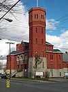
January 28, 1994 79 Delaware Ave.
43°02′39″N 78°52′22″W / 43.044167°N 78.872778°WTonawanda Castellated armory building constructed in 1896; part of the Multiple Property Submission for Army National Guard Armories in New York State. 47 US Post Office-Akron 
November 17, 1988 118 Main St.
43°01′13″N 78°29′53″W / 43.020321°N 78.497956°WAkron 48 US Post Office-Angola 
November 17, 1988 80 N. Main St.
42°38′23″N 79°01′42″W / 42.639722°N 79.028333°WAngola 49 US Post Office-Depew 
November 17, 1988 Warsaw St.
42°54′14″N 78°41′25″W / 42.903889°N 78.690278°WDepew 50 US Post Office-Lancaster 
May 11, 1989 5064 Broadway
42°54′01″N 78°40′17″W / 42.900278°N 78.671389°WLancaster 51 US Post Office-Springville 
May 11, 1989 75 Franklin St.
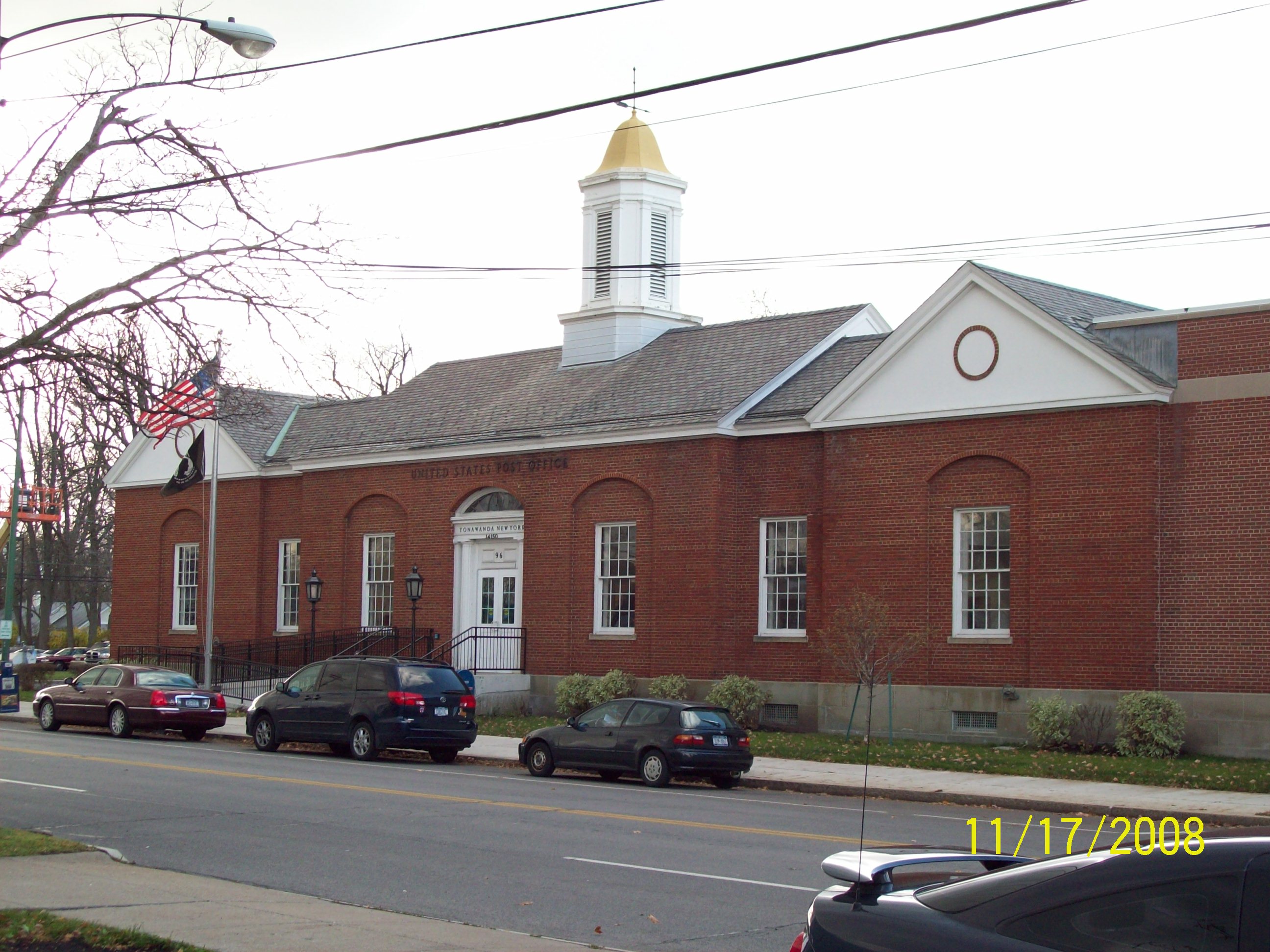
42°30′34″N 78°39′58″W / 42.509444°N 78.666111°WSpringville 52 US Post Office-Tonawanda 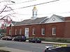
May 11, 1989 96 Seymour St.
43°01′01″N 78°52′47″W / 43.016944°N 78.879722°WTonawanda 53 Herman B. VanPeyma House 
November 30, 1999 5565 Broadway
42°53′51″N 78°39′42″W / 42.8975°N 78.661667°WLancaster 54 Villa Maria Motherhouse Complex 
July 14, 2006 600 Doat St.
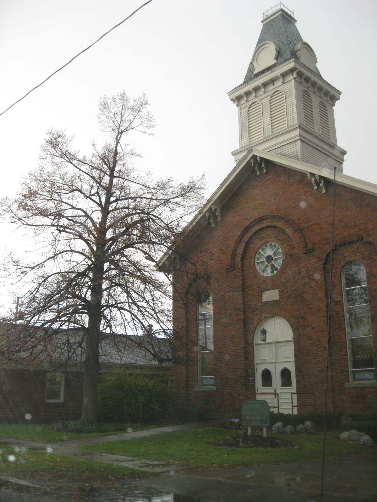
42°54′37″N 78°47′55″W / 42.910278°N 78.798611°WCheektowaga 55 Williamsville Christian Church 
May 22, 2002 5658 Main St.
42°57′48″N 78°44′33″W / 42.963333°N 78.7425°WWilliamsville 56 Williamsville Junior and Senior High School 
May 12, 2008 5950 Main St.
42°57′53″N 78°43′59″W / 42.964783°N 78.732997°WWilliamsville (new listing; refnum 08000407) 57 Williamsville Water Mill Complex 
September 22, 1983 56 and 60 Spring St.
42°57′48″N 78°43′56″W / 42.963333°N 78.732222°WWilliamsville 58 Zuidema-Idsardi House 
November 30, 1999 5556 Broadway
42°53′54″N 78°39′45″W / 42.898333°N 78.6625°WLancaster See also
References
- ^ The latitude and longitude information provided in this table was derived originally from the National Register Information System, which has been found to be fairly accurate for about 99% of listings. For about 1% of NRIS original coordinates, experience has shown that one or both coordinates are typos or otherwise extremely far off; some corrections may have been made. A more subtle problem causes many locations to be off by up to 150 yards, depending on location in the country: most NRIS coordinates were derived from tracing out latitude and longitudes off of USGS topographical quadrant maps created under North American Datum of 1927, which differs from the current, highly accurate GPS system used by Google maps. Chicago is about right, but NRIS longitudes in Washington are higher by about 4.5 seconds, and are lower by about 2.0 seconds in Maine. Latitudes differ by about 1.0 second in Florida. Some locations in this table may have been corrected to current GPS standards.
- ^ "National Register of Historic Places: Weekly List Actions". National Park Service, United States Department of the Interior. Retrieved on November 18, 2011.
- ^ Numbers represent an ordering by significant words. Various colorings, defined here, differentiate National Historic Landmark sites and National Register of Historic Places Districts from other NRHP buildings, structures, sites or objects.
Categories:- National Register of Historic Places in New York by county
- Buildings and structures in Erie County, New York
-


Wikimedia Foundation. 2010.