- Cattaraugus Reservation, Erie County, New York
Geobox Settlement
name = Cattaraugus Reservation
native_name =
other_name =
other_name1 =
category =Indian reservation
image_size =
image_caption =
flag_size =
symbol =
symbol_size =
nickname =
nickname1 =
motto =
country = United States
state = New York
region_type = County
region = Erie County
district_type =
district =
area_imperial = 25.7
area_land_imperial = 25.3
area_water_imperial = 0.3
area_water_percentage = auto
area_percentage_round = 2
area_round = 1
location =
lat_d = 42
lat_m = 32
lat_s = 24
lat_NS = N
long_d = 78
long_m = 57
long_s = 47
long_EW = W
elevation_imperial = 849
elevation_round = 1
population_as_of = 2000
population = 2001
population_density_imperial = 78
population_density_round = 1
established_type = Created
established = 1797
leader = Maurice A. John "(2007)"
leader_type = President
timezone = EST
utc_offset = -5
timezone_DST = EDT
utc_offset_DST = -4
postal_code = 14091
postal_code_type = ZIP code
area_code = 716
area_code_type =
code2_type =
code2 =
free_type =
free =
free1_type =
free1 =
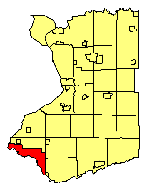
map_caption = Location of Cattaraugus Reservation in Erie County
map1 = New York Locator Map.png
map1_locator = New York
map2 = Map of USA NY.svg
map2_caption = Location of New York in the United States
website = [http://www.sni.org Seneca Nation of Indians]Cattaraugus Reservation is an
Indian reservation located partly in Erie County,New York ,United States . The population was 2,001 at the 2000 census.The part of the reservation in Erie County is the largest. Smaller parts of the reservation are found in Cattaraugus County and Chautauqua County. This is one of the reservations of the Seneca Nation of Indians.
History
The reservation was among land ceded by the Six Nations to the Holland Land Co. in 1797.
Geography
According to the
United States Census Bureau , the Indian reservation has a total area of 66.5km² (25.7 mi²). 65.6 km² (25.3 mi²) of it is land and 0.9 km² (0.3 mi²) of it (1.36%) is water.Cattaraugus Creek runs through the middle, andLake Erie helps form the western boundary.Demographics
As of the
census GR|2 of 2000, there were 2,001 people, 703 households, and 480 families residing in the Indian reservation. Thepopulation density was 30.5/km² (79.0/mi²). There were 753 housing units at an average density of 11.5/km² (29.7/mi²). The racial makeup of the Indian reservation was 11.74% White, 86.81% Native American, 0.05% Pacific Islander, 0.20% from other races, and 1.20% from two or more races. Hispanic or Latino of any race were 0.90% of the population.There were 703 households out of which 41.1% had children under the age of 18 living with them, 30.6% were married couples living together, 29.2% had a female householder with no husband present, and 31.6% were non-families. 26.0% of all households were made up of individuals and 11.0% had someone living alone who was 65 years of age or older. The average household size was 2.85 and the average family size was 3.40.
In the Indian reservation the population was spread out with 35.3% under the age of 18, 8.6% from 18 to 24, 29.5% from 25 to 44, 17.4% from 45 to 64, and 9.1% who were 65 years of age or older. The median age was 30 years. For every 100 females there were 91.3 males. For every 100 females age 18 and over, there were 83.3 males.
The median income for a household in the Indian reservation was $28,713, and the median income for a family was $27,933. Males had a median income of $25,735 versus $23,438 for females. The
per capita income for the Indian reservation was $12,382. About 27.8% of families and 30.6% of the population were below thepoverty line , including 41.9% of those under age 18 and 16.2% of those age 65 or over.References
External links
* [http://www.sni.org Seneca Nation of Indians]
ee also
*
Cattaraugus Reservation
Wikimedia Foundation. 2010.