- National Register of Historic Places listings in Wyoming County, New York
-
 Location of Wyoming County in New York
List of the National Register of Historic Places listings in Wyoming County, New York
This is intended to be a complete list of properties and districts listed on the National Register of Historic Places in Wyoming County, New York. The locations of National Register properties and districts (at least for all showing latitude and longitude coordinates below) may be seen in a Google map by clicking on "Map of all coordinates".[1]
-
- This National Park Service list is complete through NPS recent listings posted November 18, 2011.[2]
Contents: Counties in New York Albany (Albany) – Allegany – Bronx – Broome – Cattaraugus – Cayuga – Chautauqua – Chemung – Chenango – Clinton – Columbia – Cortland – Delaware – Dutchess – Erie (Buffalo) – Essex – Franklin – Fulton – Genesee – Greene – Hamilton – Herkimer – Jefferson – Kings (Brooklyn) – Lewis – Livingston – Madison – Monroe (Rochester) – Montgomery – Nassau – New York (Manhattan – Below 14th Street, 14th to 59th Streets, 59th to 110th Streets, Above 110th Street, Islands) – Niagara – Oneida – Onondaga (Syracuse) – Ontario – Orange – Orleans – Oswego – Otsego – Putnam – Queens – Rensselaer – Richmond (Staten Island) – Rockland – Saratoga – Schenectady – Schoharie – Schuyler – Seneca – St. Lawrence – Steuben – Suffolk – Sullivan – Tioga – Tompkins – Ulster – Warren – Washington – Wayne – Westchester (New Rochelle, Peekskill, Yonkers) – Wyoming – Yates Listings county-wide
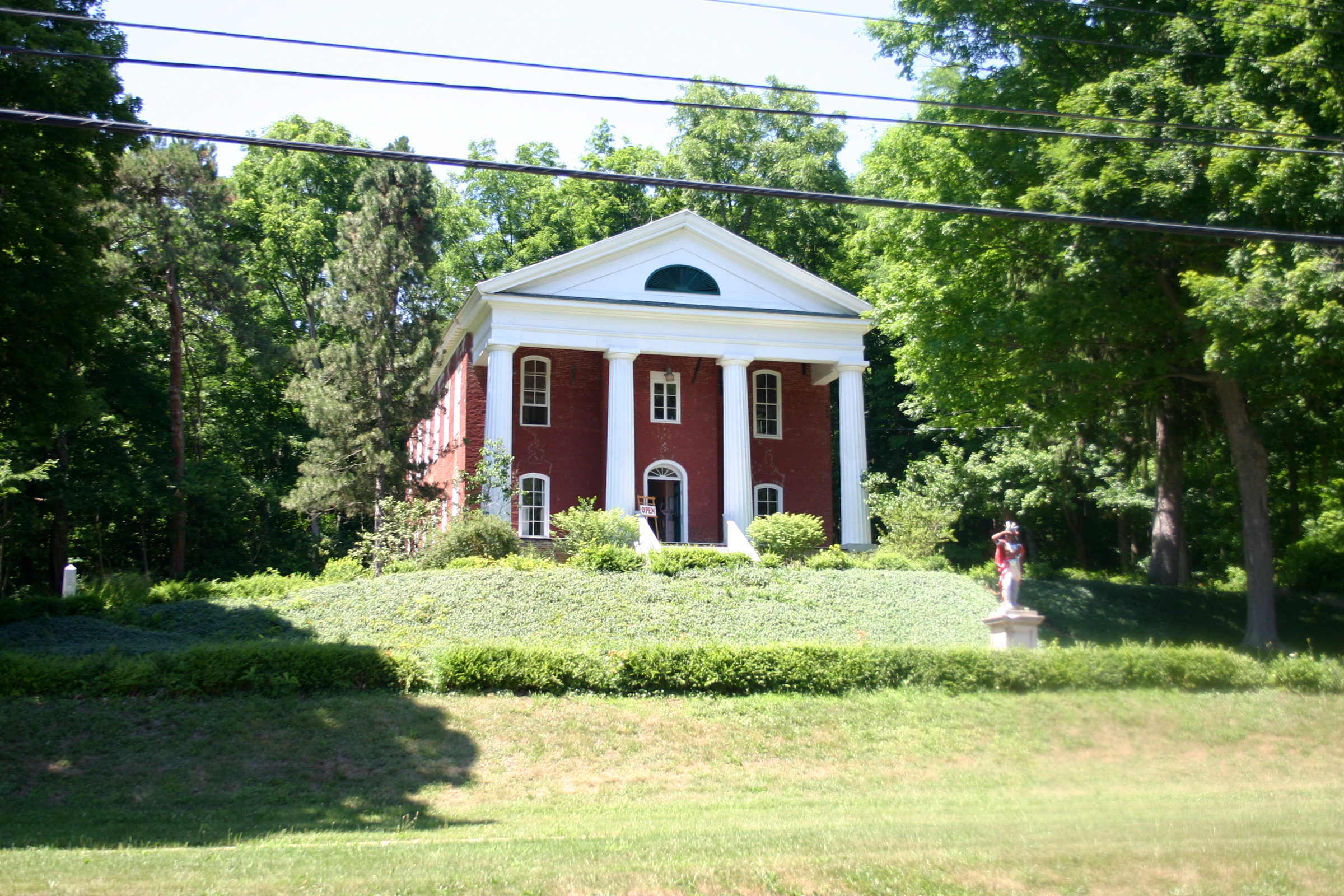
[3] Landmark name Image Date listed Location City or town Summary 1 Arcade and Attica Railroad 
November 17, 1980 Railroad right of way from Arcade to N. Java
42°34′24″N 78°25′22″W / 42.573333°N 78.422778°WNorth Java 2 Arcade Center Farm April 15, 2004 7298 NY 98
42°32′38″N 78°24′12″W / 42.543889°N 78.403333°WArcade 3 Brick Presbyterian Church 
October 3, 2007 6 Church St.
42°43′15″N 78°00′05″W / 42.720833°N 78.001317°WPerry 4 Epworth Hall 
April 6, 2000 Perry Ave.
42°41′53″N 78°01′16″W / 42.698056°N 78.021111°WPerry 5 First Methodist Episcopal Church of Perry 
September 28, 2006 35 Covington St.
42°43′10″N 78°00′18″W / 42.719444°N 78.005°WPerry 6 First Universalist Church of Portageville 
February 19, 2008 E. Koy Rd. at NY 19A
42°34′04″N 78°02′43″W / 42.567778°N 78.045278°WPortageville 7 Bryant Fleming House 
October 14, 2009 1024 Tower Road
42°49′52″N 78°05′31″W / 42.831219°N 78.091872°WWyoming New listing, refnum 09000838 8 Seth M. Gates House 
February 21, 1992 15 Perry Ave.
42°44′26″N 78°08′06″W / 42.740556°N 78.135°WWarsaw 9 Java School No. 1 June 21, 2001 NY 78
42°40′26″N 78°26′11″W / 42.673889°N 78.436389°WJava Village 10 Letchworth State Park 
November 4, 2005 Genesee River Gorge Bet. Portageville and Mt. Morris
42°38′05″N 77°59′00″W / 42.634722°N 77.983333°WCastile 11 Middlebury Academy 
January 17, 1973 22 S. Academy St.
42°49′39″N 78°05′23″W / 42.8275°N 78.089722°WWyoming 12 Monument Circle Historic District 
May 11, 1992 Roughly, E. Court St. from N. Main St. to Park St. and adjacent parts of Main and Park
42°44′35″N 78°07′53″W / 42.743056°N 78.131389°WWarsaw 13 Silver Lake Institute Historic District 
September 19, 1985 Roughly bounded by Wesley, Embury, Thompson, Haven, Lakeside & Lakeview Aves.
42°41′56″N 78°01′20″W / 42.698889°N 78.022222°WSilver Lake 14 Augustus A. Smith House 
June 27, 2007 125 Main St.
42°51′44.0496″N 78°16′42.009″W / 42.862236°N 78.27833583°W-->Attica 15 Trinity Church 
March 18, 1980 W. Buffalo St.
42°44′23″N 78°08′03″W / 42.739722°N 78.134167°WWarsaw 16 US Post Office-Attica 
November 17, 1988 76 Main St.
42°51′49″N 78°16′51″W / 42.863611°N 78.280833°WAttica 17 US Post Office-Warsaw 
May 11, 1989 35 S. Main St.
42°44′22″N 78°07′59″W / 42.739444°N 78.133056°WWarsaw 18 Warsaw Academy 
January 3, 1980 73 S. Main St.
42°44′19″N 78°07′58″W / 42.738611°N 78.132778°WWarsaw 19 Wyoming Village Historic District 
December 27, 1974 NY 19
42°49′37″N 78°05′15″W / 42.826944°N 78.0875°WWyoming See also
References
- ^ The latitude and longitude information provided in this table was derived originally from the National Register Information System, which has been found to be fairly accurate for about 99% of listings. For about 1% of NRIS original coordinates, experience has shown that one or both coordinates are typos or otherwise extremely far off; some corrections may have been made. A more subtle problem causes many locations to be off by up to 150 yards, depending on location in the country: most NRIS coordinates were derived from tracing out latitude and longitudes off of USGS topographical quadrant maps created under North American Datum of 1927, which differs from the current, highly accurate GPS system used by Google maps. Chicago is about right, but NRIS longitudes in Washington are higher by about 4.5 seconds, and are lower by about 2.0 seconds in Maine. Latitudes differ by about 1.0 second in Florida. Some locations in this table may have been corrected to current GPS standards.
- ^ "National Register of Historic Places: Weekly List Actions". National Park Service, United States Department of the Interior. Retrieved on November 18, 2011.
- ^ Numbers represent an ordering by significant words. Various colorings, defined here, differentiate National Historic Landmark sites and National Register of Historic Places Districts from other NRHP buildings, structures, sites or objects.
Categories:- National Register of Historic Places in New York by county
- Buildings and structures in Wyoming County, New York
-


Wikimedia Foundation. 2010.