- Manlius (village), New York
-
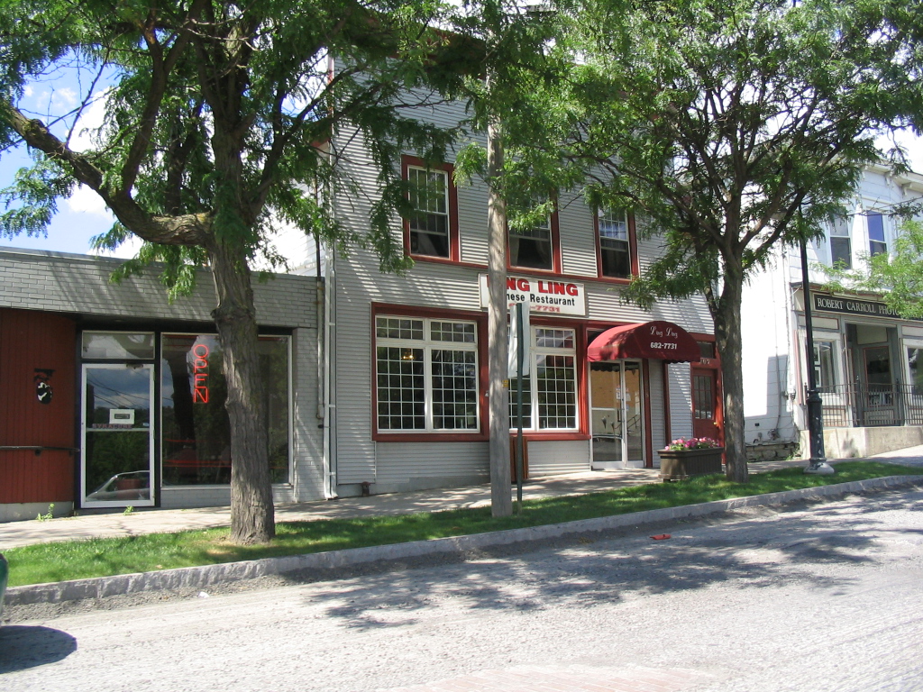
Manlius, New York — Village — The quaint downtown of the Village of Manlius.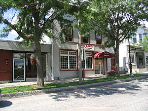 Location within the state of New York
 Manlius, New York
Coordinates: 43°0′8″N 75°58′44″W / 43.00222°N 75.97889°WCoordinates: 43°0′8″N 75°58′44″W / 43.00222°N 75.97889°W Country United States State New York County Onondaga Village 1813 Government - Mayor Mark-Paul Serfain Area - Total 1.8 sq mi (4.6 km2) - Land 1.8 sq mi (4.6 km2) - Water 0.0 sq mi (0.0 km2) Population (2000) - Total 4,819 - Density 2,705.8/sq mi (1,045.3/km2) Time zone Eastern (EST) (UTC-5) - Summer (DST) EDT (UTC-4) ZIP code 13104 Area code(s) 315 FIPS code 36-45018 GNIS feature ID 2390961 Website http://www.manliusvillage.org Manlius is a village in Onondaga County, New York, USA. The population was 4,819 at the 2000 census. The village takes its name from its town. The Village of Manlius is near the south town line of the Town of Manlius and is southeast of the City of Syracuse of which it is a suburb. An area of about 3 blocks in size within the village, running along Seneca Street and parallel Pleasant Street, is listed on the National Register of Historic Places as the Manlius Village Historic District.
Contents
History
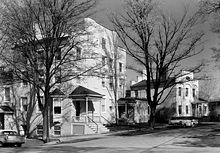 Smith Hall is a structure from 1813-16 that served as a civic center. It was originally designed for commercial and residential use.
Originally one of the communities in the Central New York Military Tract (defined as Township Number Seven), the town of Manlius was settled in 1794. The village, however was settled two years before by John A. Shaeffer, a German. The first schoolhouse in Manlius was erected in 1798. Made out of logs, it was located near a local resident's mill, named only as Mr. Costello. By 1801, the village began to grow, with six buildings, and several amenities including a blacksmith, store, doctor, lawyer, and a tavern. By the turn of the 19th century, there was also a post office defined as "Liberty Square". However, the name of Liberty Square was eventually renamed to Manlius Square. After four years, Manlius had grown at a rapid rate, with the building of thirty houses. The growing village was defined as one of the most promienent business locations in Onondaga County.[1] + The community became the first village in the county in 1813.
Before the construction of the Erie Canal, Manlius was a large business point along the Cherry Valley Turnpike and Seneca Turnpikes. Since the travelling of goods passed through Manlius on these turnpikes, that every other structure along the highways were taverns. Between Manlius and nearby Chittenango, New York, there were only about six or seven public buildings.[1] Most of this stretch of the Seneca Turnpike is now New York State Route 173.[2]
For twenty years, Manlius was the biggest trade center in Onondaga County, with what is now Syracuse, New York a swamp at the time.[1] Into the early 20th century, its St. John Military Academy was a respected private school for young men.
Geography
Manlius is located at 43°0′8″N 75°58′44″W / 43.00222°N 75.97889°W (43.002266, -75.979068)[3].
According to the United States Census Bureau, the village has a total area of 1.8 square miles (4.6 km²).None of the area is covered with water.
New York State Route 92 and New York State Route 173 intersect in Manlius.
Demographics
As of the census[4] of 2000, there were 4,819 people, 2,056 households, and 1,293 families residing in the village. The population density was 2,705.8 people per square mile (1,045.3/km²). There were 2,143 housing units at an average density of 1,203.3 per square mile (464.8/km²). The racial makeup of the village was 93.07% White, 1.02% Black or African American, 0.23% Native American, 4.17% Asian, 0.21% from other races, and 1.31% from two or more races. Hispanic or Latino of any race were 1.31% of the population.
There were 2,056 households out of which 32.6% had children under the age of 18 living with them, 51.8% were married couples living together, 9.0% had a female householder with no husband present, and 37.1% were non-families. 33.2% of all households were made up of individuals and 15.6% had someone living alone who was 65 years of age or older. The average household size was 2.33 and the average family size was 3.00.
In the village the population was spread out with 26.7% under the age of 18, 4.8% from 18 to 24, 27.7% from 25 to 44, 24.5% from 45 to 64, and 16.3% who were 65 years of age or older. The median age was 39 years. For every 100 females there were 87.2 males. For every 100 females age 18 and over, there were 79.8 males.
The median income for a household in the village was $45,492, and the median income for a family was $65,080. Males had a median income of $49,600 versus $29,118 for females. The per capita income for the village was $26,434. About 3.2% of families and 6.4% of the population were below the poverty line, including 10.5% of those under age 18 and 7.2% of those age 65 or over.
Education
Public K-12 education is served by the Fayetteville-Manlius Central School District.
Industry
- Stickley, Audi & Co.
Parks
Manlius has several parks located within the village including Mill Run Park, its largest park, and the Swan Pond located nearby the local library.
References
- ^ a b c W. W. Clayton (1878). History of Onondaga County, New York With Illustrations and Biographical Sketches. D. Mason & Co., Syracuse NY.
- ^ New York State Department of Transportation (2001). Manlius Digital Raster Quadrangle (Map). 1:24,000. http://www.nysgis.state.ny.us/gisdata/quads/drg24/dotpreview/index.cfm?code=p31. Retrieved January 22, 2010.
- ^ "US Gazetteer files: 2010, 2000, and 1990". United States Census Bureau. 2011-02-12. http://www.census.gov/geo/www/gazetteer/gazette.html. Retrieved 2011-04-23.
- ^ "American FactFinder". United States Census Bureau. http://factfinder.census.gov. Retrieved 2008-01-31.
3. Sloan, De Villo. The Crimsoned Hills of Onondaga. Amherst, NY: Cambria Press, 2008.
External links
Municipalities and communities of Onondaga County, New York City 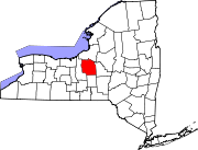
Towns Villages Baldwinsville | Camillus | East Syracuse | Elbridge | Fabius | Fayetteville | Jordan | Liverpool | Manlius | Marcellus | Minoa | North Syracuse | Skaneateles | Solvay | Tully
CDPs Brewerton‡ | Bridgeport‡ | Fairmount | Galeville | Lakeland | Lyncourt | Mattydale | Nedrow | Seneca Knolls | Village Green | Westvale
Other
hamletsAmber | Amboy | Apulia | Apulia Station | Borodino | Cardiff | Cedarvale | Clintonville | Collingwood | Delphi | Delphi Falls | Geddes | Hart Lot | Hinsdale | Howlett Hill | Indian Village | Jack's Reef | Jamesville | Long Branch | Marietta | Memphis | Messina Springs | Mottville | Mycenae | Navarino | Onondaga Hill | Oran | Otisco | Plainville | Pompey Center | Rose Hill | Shepard Settlement | Skaneateles Falls | South Onondaga | South Spafford | Southwood | Spafford Valley | Split Rock | State Fair Grounds | Taunton | Thorn Hill | Vesper | Warners | Watervale
Indian
reservationFootnotes ‡This populated place also has portions in an adjacent county or counties
Categories:- Villages in New York
- Syracuse metropolitan area
- Populated places in Onondaga County, New York


Wikimedia Foundation. 2010.