- Coeymans, New York
-
For the community within the town, see Coeymans (CDP), New York.
Coeymans — Town — Alcove Reservoir Location within Albany County and New York
 Location within the state of New York
 Coeymans
Coordinates: 42°28′26″N 73°47′32″W / 42.47389°N 73.79222°WCoordinates: 42°28′26″N 73°47′32″W / 42.47389°N 73.79222°W Country United States State New York County Albany Settled 1639 Incorporated 1791 Government – Type Town Council – Supervisor James Youmans – Town Council Members' ListArea – Total 53.1 sq mi (137.5 km2) – Land 50.2 sq mi (129.9 km2) – Water 2.9 sq mi (7.6 km2) 5.50% Elevation 1,467 ft (447 m) Population (2010) – Total 7,418 Time zone Eastern (EST) (UTC-5) – Summer (DST) EDT (UTC-4) ZIP code 12143 (Ravena) Area code(s) 518 FIPS code 36-16694 GNIS feature ID 0978845 Website Town of Coeymans Coeymans is a town in Albany County, New York, USA. The population was 7,418 at the 2010 census. The town is named after an early settler, who was the patent-holder for the area. The town is in the southeast part of the county, south of Albany, New York.
The Powell & Minnock Brick Yard, just north of the Hamlet on Rt. 144, was used as the assembly site for a new swing span for the 145th Street Bridge in 2006. The site was chosen because of a lack of space closer to the city.
Contents
History
Barent Pieteres Koijemans first arrived in 1639 from Holland. He became an apprentice at a mill owned by the Van Rensselaers.[1] He purchased the land and obtained a patent in 1673.[2]
Coeymans was formed from part of the town of Watervliet in 1791. In 1815, part of the town was used to make the new town of Westerlo.
Geography
According to the United States Census Bureau, the town has a total area of 53.1 square miles (137.5 km²), of which, 50.2 square miles (129.9 km²) of it is land and 2.9 square miles (7.6 km²) of it (5.50%) is water.
The south town line is the border of Greene County, and the east town line, marked by the Hudson River, is the border of Rensselaer County.
Interstate 87 and U.S. Route 9W pass through the town.
Demographics
According to the 2000 U.S. Census[3] there were 8,151 people, 3,121 households, and 2,184 families residing in the town. The population density was 162.5 people per square mile (62.7/km²). There were 3,404 housing units at an average density of 67.8 per square mile (26.2/km²). The racial makeup of the town was 94.61% White, 2.13% Black or African American, 0.22% Native American, 0.42% Asian, 0.02% Pacific Islander, 0.79% from other races, and 1.80% from two or more races. Hispanic or Latino of any race were 3.24% of the population.
There were 3,121 households out of which 35.8% had children under the age of 18 living with them, 53.2% were married couples living together, 12.6% had a female householder with no husband present, and 30.0% were non-families. 24.6% of all households were made up of individuals and 10.0% had someone living alone who was 65 years of age or older. The average household size was 2.59 and the average family size was 3.09.
In the town the population was spread out with 27.5% under the age of 18, 7.8% from 18 to 24, 30.4% from 25 to 44, 22.6% from 45 to 64, and 11.7% who were 65 years of age or older. The median age was 36 years. For every 100 females there were 95.4 males. For every 100 females age 18 and over, there were 91.4 males.
The median income for a household in the town was $46,742, and the median income for a family was $57,808. Males had a median income of $41,197 versus $28,038 for females. The per capita income for the town was $21,686. About 5.7% of families and 6.9% of the population were below the poverty line, including 7.9% of those under age 18 and 7.0% of those age 65 or over.
Communities and locations in Coeymans
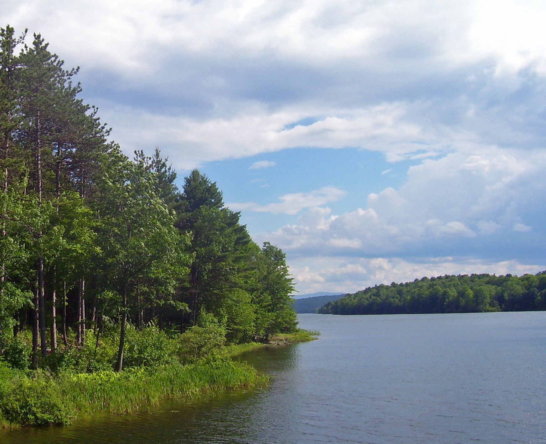
- Alcove – A hamlet in the southwest part of the town, east of the Alcove Reservoir.
- Alcove Reservoir – A reservoir at the western town line.
- Aquetuck – A hamlet near the south town line.
- Coeymans – A hamlet and census-designated place in the southeast part of the town by the Hudson River and is located on Route 144.
- Callahans Corners – A location on the north town line.
- Coeymans Hollow – A hamlet east of Alcove.
- Keefers Corners – A location in the northwest part of the town.
- Ravena – A village in the south part of the town on Route 9W.
- Roah Hook – A hamlet north of Coeymans hamlet on the bank of the Hudson River.
References
External links
Capital District of New York Central communities Albany (History · City Hall · Coat of Arms) · Schenectady (City Hall) · Troy (History) · List of all incorporated places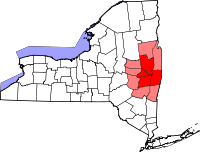
Largest communities
(over 20,000 in 2000)Medium-sized communities
(10,000 to 20,000 in 2000)City of Amsterdam · Brunswick · Cohoes · East Greenbush · Glens Falls · Gloversville · Halfmoon · Malta · North Greenbush · Schodack · Watervliet · WiltonSmall communities
(5,000 to 10,000 in 2000)Town of Amsterdam · Ballston Spa · Cobleskill · Village of Colonie · Duanesburg · City of Johnstown · Town of Johnstown · Kinderhook · Mechanicville · New Scotland · Rensselaer · Sand Lake · Scotia · Town of Stillwater · WaterfordCounties Albany · Columbia · Fulton · Greene · Montgomery · Rensselaer · Saratoga · Schenectady · Schoharie · Warren · WashingtonHistory Mohawks · Mahicans · Fort Orange · Rensselaerswyck · Beverwyck · Albany Plan of Union · Timeline of town creation · Toponymies of places · Tech ValleyGeography Hudson River (Valley) · Mohawk River · Erie Canal · Lake Albany · Lake George · Albany Pine Bush (Rensselaer Lake · Woodlawn Preserve) · Adirondack Mountains · Catskill Mountains · Rensselaer PlateauReligion and culture Culture in New York's Capital District · Sports in New York's Capital District · Episcopal Diocese of Albany · Roman Catholic Diocese of AlbanyEducation Public school districtsList of school districts in New York's Capital DistrictHigher educationNewspapers TV/Radio Broadcast television in the Capital District Local stations WRGB (6.1 CBS, 6.2 This TV) • WTEN (10.1 ABC, 10.2 Weather, 10.3 RTV) • WNYT (13.1 NBC, 13.2 Weather, 13.3 Weather Radar) • WMHT (17.1 PBS, 17.2 ThinkBright, 17.3 HD) • WXXA (23.1 Fox, 23.2 The Cool TV) • WNGN-LP 35 / WNGX-LP 42 (FN) • WCWN (45.1 The CW, 45.2 Uni Sp) • WNYA / WNYA-CD (51.1 MNTV, 51.2 Antenna TV) • W52DF 52 (silent)
Outlying area stations WVBK-CA 2 (RSN' Manchester, VT) • W04AJ 4 (PBS; Glens Falls) • W04BD 4 (PBS; Schoharie) •
WNCE-CA 8 (A1; Glens Falls) • WYBN-CA 14 (RSN; Cobleskill) • WCDC (19.1 ABC; Adams, MA) • WVBG-LP 25 (RSN; Greenwich) • W36AX 36 (PBS / VPT; Manchester, VT) • W47CM 47 (silent; Glens Falls) • WYPX (55.1 Ion, 55.2 qubo, 55.3 Life; Amsterdam) • W53AS 53 (PBS / VPT; Bennington, VT)Adjacent locals Cable-only stations YNN Capital Region • TW3 • YES • SNY • MSG Network
Defunct stations New York State television: Albany/Schenectady • Binghamton • Buffalo • Burlington/Plattsburgh • Elmira • New York City • Rochester • Syracuse • Utica • Watertown
Vermont Broadcast television: Albany/Schenectady • Boston, MA • Burlington/Plattsburgh
Massachusetts television: Albany • Boston • Providence • Springfield
Radio stations in the Albany / Schenectady / Troy market by FM frequency 88.3 · 89.1² · 89.7 · 89.9 · 90.3/93.1² · 90.7/94.9 · 90.7 · 90.7 · 90.9 · 91.1 · 91.5 · 92.3 · 92.9 · 93.5 · 93.7 · 94.5 · 94.7 · 95.5 · 95.9 · 96.3 · 96.7 · 97.3 · 97.5 · 97.7 · 97.9 · 98.3² · 98.5 · 98.5 · 99.1 · 99.5² · 100.3 · 100.9 · 101.3 · 101.7 · 101.9 · 102.3² · 102.7 · 103.1² · 103.5 · 103.9 · 104.5 · 104.9 · 105.7² · 106.1 · 106.5² · 107.1 · 107.7²by AM frequency NOAA Weather Radio frequency 162.550by callsign W226AC · W235AY · W256BU · W291BY · WABY · WAJZ · WAMC (AM) · WAMC-FM² · WBAR · WBPM · WCDB · WCKL · WCKM · WCQL · WCSS · WCTW · WDCD · WDCD-FM · WDDY² · WENT · WEQX · WEXT · WFFG · WFLY · WFNY · WGDJ · WGNA² · WGXC · WGY¹² · WGY-FM² · WHAZ · WHAZ-FM · WHUC · WHVP · WIZR · WJIV · WKBE · WKKF² · WKLI · WLJH · WMHT² · WMYY · WNYQ · WOFX² · WOPG · WPGL · WPYX² · WQAR · WQBJ · WQBK · WQSH² · WRIP · WROW · WRPI · WRUC · WRVE² · WSDE · WTMM · WTRY² · WUAM · WVCR · WVKZ · WVTL · WXL34 · WYAI · WYJB · WYKV · WZCR · WZMRDefunct stations New York Radio Markets: Albany-Schenectady-Troy • Binghamton • Buffalo-Niagara Falls • Elmira-Corning • Hamptons-Riverhead • Ithaca • Nassau-Suffolk (Long Island) • New York City • Newburgh-Middletown (Mid Hudson Valley) • Olean • Plattsburgh • Poughkeepsie • Rochester • Syracuse • Utica-Rome • Watertown
Other New York Radio Regions: Jamestown-Dunkirk • North Country • Saratoga
Municipalities and communities of Albany County, New York Cities Albany | Cohoes | Watervliet

Towns Berne | Bethlehem | Coeymans | Colonie | Green Island | Guilderland | Knox | New Scotland | Rensselaerville | Westerlo
Villages Altamont | Colonie | Green Island | Menands | Ravena | Voorheesville
CDPs Other
hamletsAlcove | Boght Corners | Clarksville | Crescent Station | Dunsbach Ferry | Elsmere | Feura Bush | Fort Hunter | Fullers | Glenmont | Guilderland | Guilderland Center | Karner | Latham | Lisha Kill | Loudonville | Mannsville | McKownville | New Salem | Newtonville | Normansville | Roessleville | Selkirk | Slingerlands | South Bethlehem | Verdoy | West Albany
Categories:- Towns in New York
- Populated places in Albany County, New York


Wikimedia Foundation. 2010.