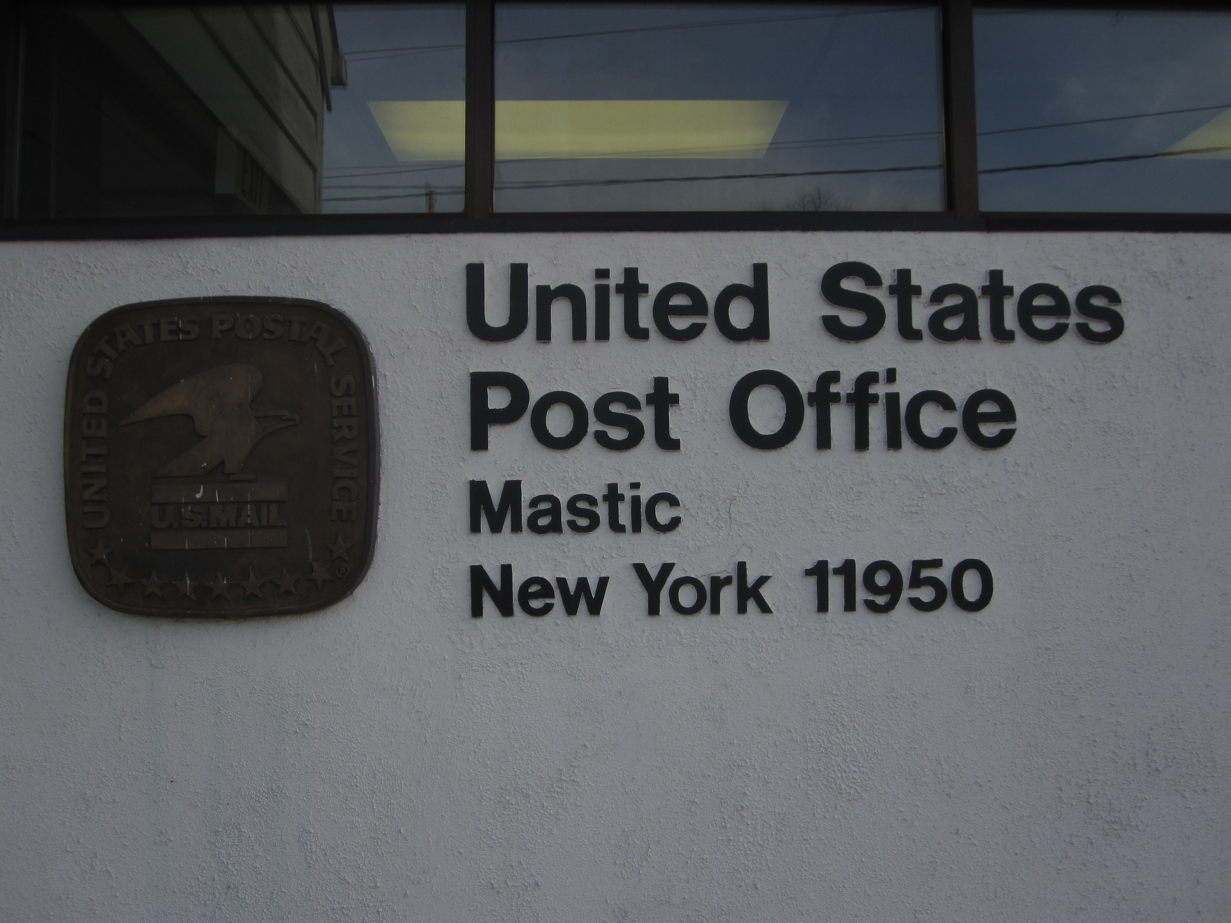
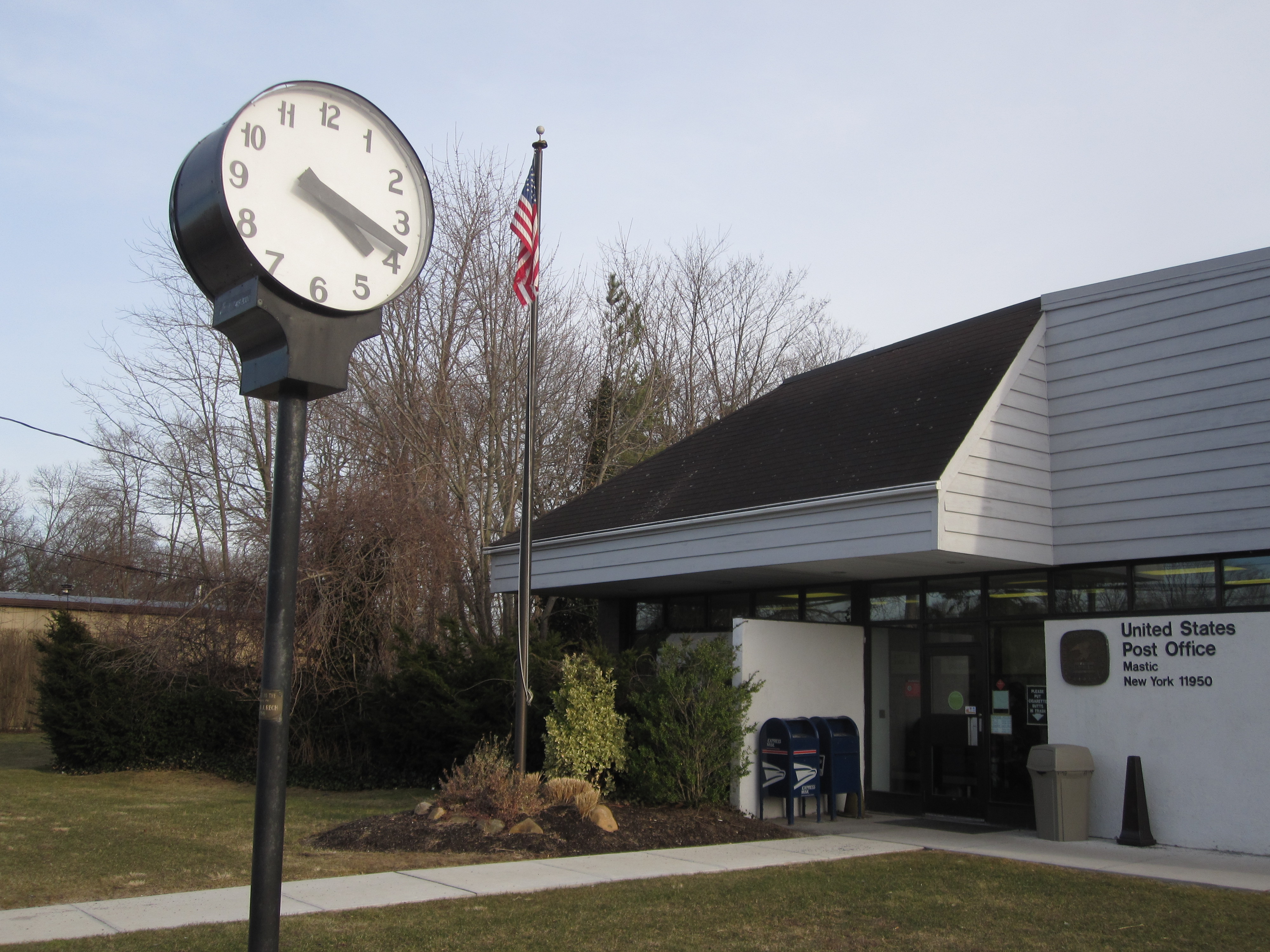
- Mastic, New York
-
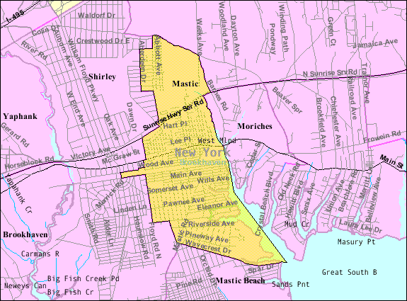
Mastic, New York — CDP — Nickname(s): Mas-tick - (Tidal River) 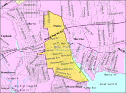

 Mastic, New York
Coordinates: 40°48′8″N 72°50′38″W / 40.80222°N 72.84389°WCoordinates: 40°48′8″N 72°50′38″W / 40.80222°N 72.84389°W Country United States State New York County Suffolk Area – Total 4.8 sq mi (12.5 km2) – Land 4.5 sq mi (11.6 km2) – Water 0.3 sq mi (0.9 km2) Elevation 30 ft (9 m) Population (2000) – Total 15,436 – Density 3,445.1/sq mi (1,330.2/km2) Time zone Eastern (EST) (UTC-5) – Summer (DST) EDT (UTC-4) ZIP code 11950 Area code(s) 631 FIPS code 36-46074 GNIS feature ID 0970339 Mastic is a hamlet (and census-designated place) in Suffolk County, New York, United States. The population was 15,436 at the 2000 census. Mastic is a community located in the southeast part of the Town of Brookhaven.
The hamlet was originally called Forge. The Long Island Rail Road built a station in 1882. In 1893, the name of the town was changed to Mastic. On July 15, 1960, the stop was moved 7010 feet west and renamed Mastic–Shirley.
Mastic is served by the William Floyd School District and the Eastport-South Manor Central School District.
The Poospatuck Indian Reservation lies entirely within the community, near its southern end.
Manor Park is a section of Mastic from the Long Island Expressway to Sunrise Highway immediately east of Brookhaven Airport.[1]
Contents
Geography
Mastic is located at 40°48′8″N 72°50′38″W / 40.80222°N 72.84389°W (40.802090, -72.843953)[2].


According to the United States Census Bureau, the CDP has a total area of 4.8 square miles (12 km2), of which, 4.5 square miles (12 km2) of it is land and 0.3 square miles (0.78 km2) of it (7.05%) is water.
Demographics
As of the census[3] of 2000, there were 16,136 people, 4,451 households, and 3,761 families residing in the CDP. The population density was 3,445.1 per square mile (1,330.3/km²). There were 4,732 housing units at an average density of 1,056.1/sq mi (407.8/km²). The racial makeup of the CDP was 81.26% White, 10.05% African American, 1.72% Native American, 1.12% Asian, 0.01% Pacific Islander, 1.59% from other races, and 1.25% from two or more races. Hispanic or Latino of any race were 10.15% of the population.
There were 4,451 households out of which 49.8% had children under the age of 18 living with them, 61.9% were married couples living together, 16.8% had a female householder with no husband present, and 15.5% were non-families. 10.9% of all households were made up of individuals and 3.5% had someone living alone who was 65 years of age or older. The average household size was 3.45 and the average family size was 3.67.
In the CDP the population was spread out with 32.7% under the age of 18, 9.3% from 18 to 24, 32.5% from 25 to 44, 20.0% from 45 to 64, and 5.5% who were 65 years of age or older. The median age was 27 years. For every 100 females there were 99.0 males. For every 100 females age 18 and over, there were 96.3 males.
The median income for a household in the CDP was $43,657, and the median income for a family was $54,047. Males had a median income of $41,721 versus $28,468 for females. The per capita income for the CDP was $16,275. About 14.0% of families and 17.0% of the population were below the poverty line, including 18.4% of those under age 18 and 4.3% of those age 65 or over.
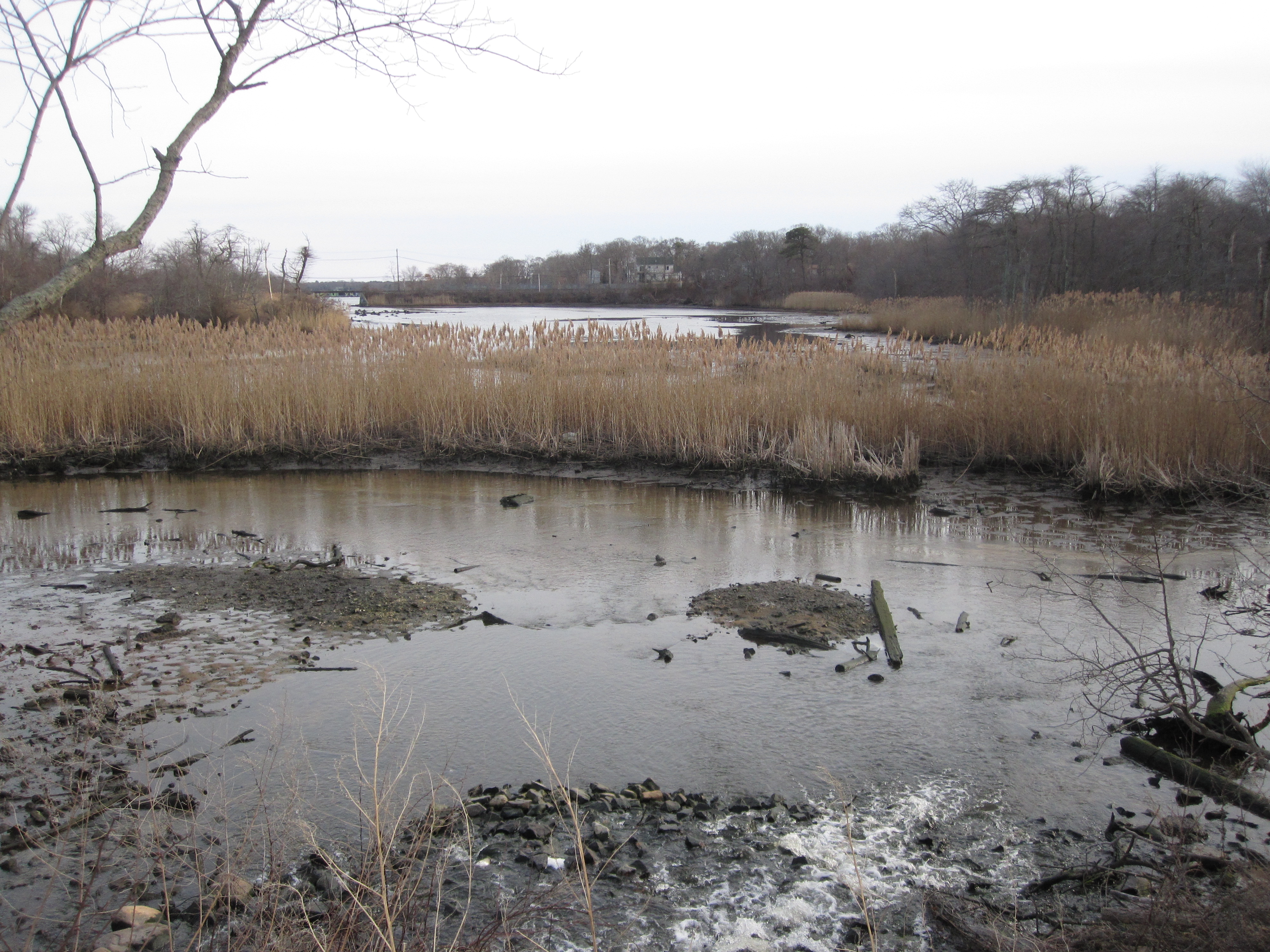
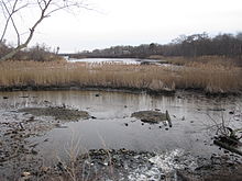 Forge River looking toward the Montauk Branch of the LIRR.
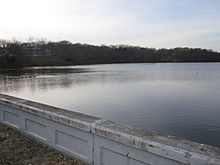 Forge River along Montauk Highway.
See Also
- Forge River
- Moriches Bay
- Smith Point Bridge
- Poospatuck Reservation
- Moriches Inlet
References
- ^ Manor Park Civic Association
- ^ "US Gazetteer files: 2010, 2000, and 1990". United States Census Bureau. 2011-02-12. http://www.census.gov/geo/www/gazetteer/gazette.html. Retrieved 2011-04-23.
- ^ "American FactFinder". United States Census Bureau. http://factfinder.census.gov. Retrieved 2008-01-31.
External links
- http://marinas.com/view/inlet/624_Forge_River_Inlet_Old_Mastic_NY
- http://travelingluck.com/North%20America/United%20States/New%20York/_5117624_Forge%20River.html#local_map
- http://spoonercentral.com/Mastics/Station.html Old Mastic RR Station
Town of Brookhaven, New York County Villages Belle Terre · Bellport · Lake Grove · Mastic Beach · Old Field · Patchogue · Poquott · Port Jefferson · ShorehamHamlets Blue Point · Brookhaven · Calverton · Canaan Lake · Center Moriches · Centereach · Cherry Grove · Coram · Crystal Brook · Cupsogue Beach · Davis Park · East Moriches · East Patchogue · East Setauket · East Shoreham · Eastport · Farmingville · Fire Island Pines · Gordon Heights · Hagerman · Holbrook · Holtsville · Lake Ronkonkoma · Manorville · Mastic · Medford · Middle Island · Miller Place · Moriches · Mount Sinai · North Bellport · North Patchogue · Ocean Bay Park · Point O' Woods · Port Jefferson Station · Ridge · Rocky Point · Ronkonkoma · Selden · Setauket · Shirley · Sound Beach · South Haven · Stony Brook · Strongs Neck · Terryville · Upton · Wading River · Water Island · West Manor · YaphankIndian
reservationPoospatuckWebsite: brookhaven.orgCategories:- Brookhaven, New York
- Hamlets in New York
- Census-designated places in New York
- Populated places in Suffolk County, New York


Wikimedia Foundation. 2010.