- Moriches Bay
-

Moriches Bay L.I. New York Moriches Bay a lagoon system on the south shore of Long Island. The name Moriches comes from Meritces, a Native American who owned land on Moriches Neck.[1]
Two Townships both Brookhaven and the Southampton share Its shoreline in Suffolk New York.
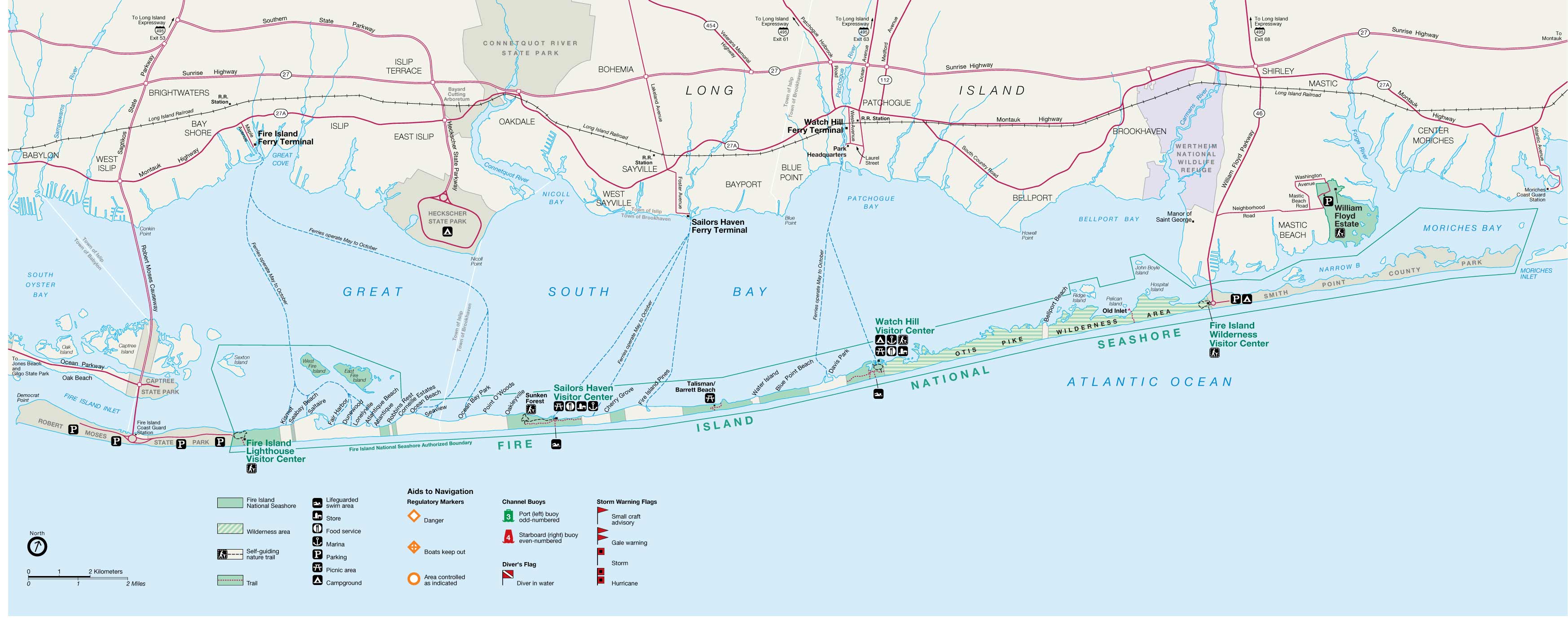
Moriches Bay is east of the Mastic narrows and Great South Bay and west of Shinnecock Bay. The bay is 62 miles (100 km) east of New York City.
Moriches Bay has a body of water of 3,836-hectare - 9,480-acre (38.4 km2) of aquatic environment.
This includes Moneybogue Bay and Quantuck Bay, its salt marshes, dredged material islands, and intertidal flats.
This body of water is between the Outer barrier islands and Long Island mainland. It's flow comes from the Moriches and Shinnecock Inlets)
The western boundary of this bay is the Smith Point Bridge; the eastern boundary is the eastern edge of Quantuck Bay.
This bayside habitat includes the tidal creeks and marshes feeding into Moriches Bay from the Long Island mainland.
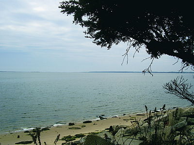
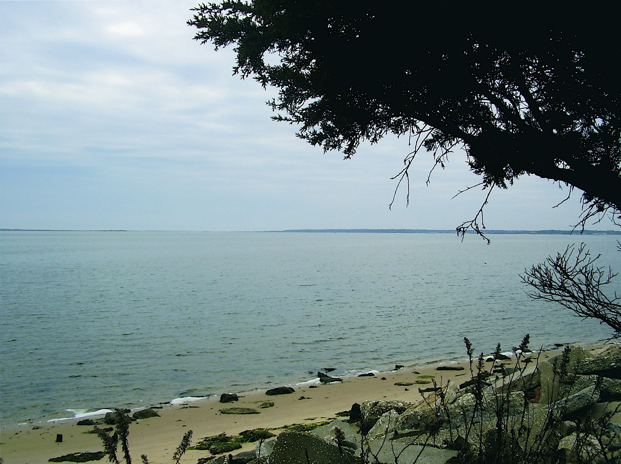
A thriving habitat off the Atlantic ocean, the Moriches Bay is used by Long Islanders for local fishing. It is a natural habitat for shellfish, migrating and wintering waterfowl, colonial nesting waterbirds, beach-nesting birds, migratory shorebirds, raptors, and rare plants.
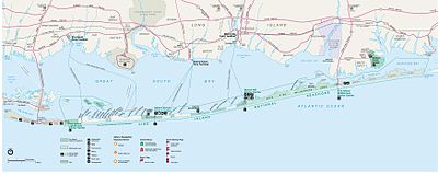
The Great South Bay and Moriches Bay bay bottoms up to the barrier beach are owned by the towns though a grant by the King long before the existence of the union. It has been repeatedly adjudicated (even to the Supreme Court) that the land grants in the Dongan (Governor of New York) patents (Islip, Brookhaven, Southampton and East Hampton Towns,1686) are valid. However, since 1968 the federal government has been attempting to take title of and lay claim to, by adverse possession, the bay bottoms of Islip and Brookhaven Towns extending outward from the barrier beach. It (the federal government) has repeatedly published intentionally erroneous maps(such as the one above) showing boundaries of the Fire Island Seashore extending out into the bay when the real boundary is the shoreline of the barrier beach.
See also
- Outer Barrier
- Moriches Inlet
- Patchogue Bay
- Suffolk NY
- South Shore Estuary
References
- http://training.fws.gov/library/pubs5/web_link/text/mb_form.htm
- http://www.sillylily.com/fishingpage2.html
- http://www.lifishingreports.com/forums/forumid_15/tt.htm
- http://www.panix.com/~pg/flyfishing/mbayprim.html
Coordinates: 40°47′22″N 72°42′56″W / 40.78944°N 72.71556°W
Categories:- Brookhaven, New York
- Lagoons of New York
- Geography of Long Island
- Southampton (town), New York
- Geography of Suffolk County, New York
Wikimedia Foundation. 2010.