- Brookhaven, New York
Infobox Settlement
official_name = Town of Brookhaven, New York
settlement_type = Town
nickname =
image_town =
mapsize1 =
map_caption1 =
image_dot_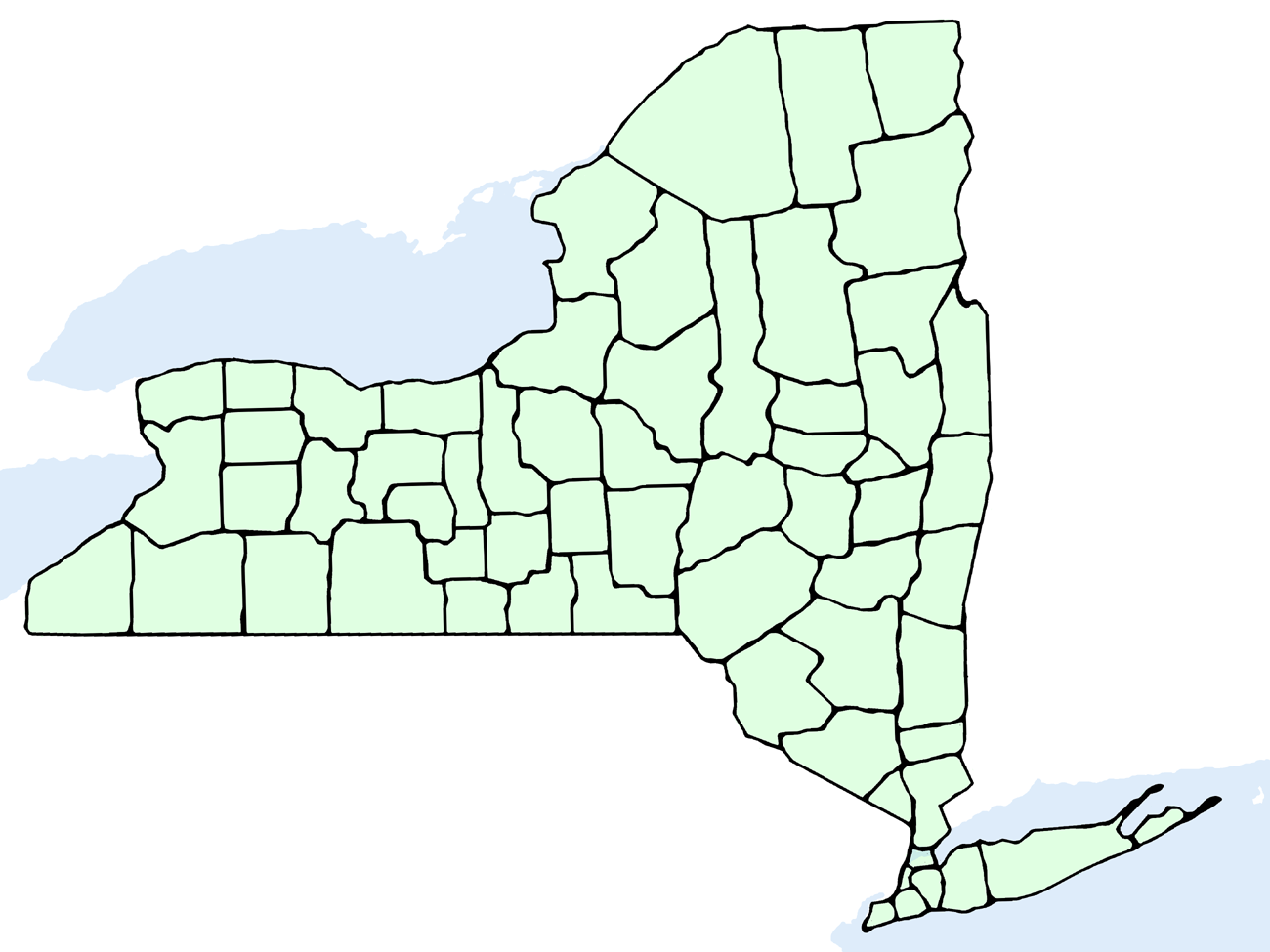
dot_mapsize = 250px
dot_map_caption =
dot_x = 203
dot_y = 170
imagesize = 250x200px
image_caption = U.S. Census map
image_
|pushpin_
pushpin_label_position =left
pushpin_map_caption =Location within the state of New York
pushpin_mapsize =
|mapsize =
map_caption =
subdivision_type = Country
subdivision_name =United States
subdivision_type1 = State
subdivision_name1 =New York
subdivision_type2 = County
subdivision_name2 = Suffolk
subdivision_type3 =
subdivision_name3 =
subdivision_type4 =
subdivision_name4 =
government_type =Civil Township
leader_title = Supervisor
leader_name =Brian X. Foley
established_title = Settled
established_date = 1655
established_title2 = Incorporated
established_date2 = 1686
area_magnitude =
area_total_km2 = 1376.6
area_land_km2 = 671.6
area_water_km2 = 705.1
area_total_sq_mi = 531.5
area_land_sq_mi = 259.3
area_water_sq_mi = 272.2
elevation_m = 24
elevation_ft = 79
latd = 40 |latm = 50 |lats = 36 |latNS = N
longd = 72 |longm = 58 |longs = 10 |longEW = W
population_as_of = 2004
population_total = 472425
population_density_sq_mi = 1822
timezone = EST
utc_offset = -5
timezone_DST = EDT
utc_offset_DST = -4
postal_code_type =ZIP code
postal_code = 11719
area_code = 631
blank_name = FIPS code
blank_info = 36-10000
blank1_name = GNIS feature ID
blank1_info = 0978758
footnotes =
website = [http://www.brookhaven.org/ Brookhaven.org] The Town of Brookhaven is located in central Suffolk County,New York , USA, and stretches from the North Shore to the South Shore ofLong Island . Brookhaven is part of theNew York metropolitan area . The population of the town was 448,248 at the 2000 census.Geography
According to the
United States Census Bureau , the town has a total area of 531.5square mile s (1,376.6km² ), of which 259.3 square miles (671.6 km²) is land and 272.2 square miles (705.1 km² or 51.22%) is water. It is the largest town in New York in terms of total area. Excluding water, however, there are four towns in the state with more land area: Webb in Herkimer County, Long Lake in Hamilton County, Arietta in Hamilton County, and Ohio in Herkimer County.It has coastline on both the
Atlantic Ocean andLong Island Sound . Riverhead and Southampton lie to the east, and Smithtown and Islip lie to the west.A large part of
Fire Island and theGreat South Bay are in the town.It has a large hill, known as "Bald Hill", in the hamlet of Farmingville, which marks where the glacier which formed Long Island stopped. At the top of Bald Hill is a Vietnam Veterans Memorial.
The current Town Supervisor is Brian X. Foley, a Democrat who was elected in 2005, putting to end longtime Republican control of the town.
History
The first known inhabitants were Algonquian-speaking Native Americans, of the
Setauket andUnkechaug tribes. The first English settlers arrived in 1655 and purchased land from the inhabitants. Early English settlers farmed, fished, and hunted whales.The letter "D" on the official seal, associated with the original Dongan patent officially establishing Brookhaven, is a cattle branding letter assigned to Brookhaven in the mid-1600s, along with whaling harpoons.
Demographics
As of the
census GR|2 of 2000, there were 448,248 people, 146,828 households, and 112,910 families residing in the town. Thepopulation density was 1,728.8 people per square mile (667.5/km²). There were 155,406 housing units at an average density of 599.4/sq mi (231.4/km²). The racial makeup of the town was 88.43% White, 4.33% Black or African American, 0.23% Native American, 2.90% Asian, 0.03% Pacific Islander, 2.21% from other races, and 1.87% from two or more races. Hispanic or Latino of any race were 8.04% of the population.There were 146,828 households out of which 38.9% had children under the age of 18 living with them, 62.3% were married couples living together, 10.6% had a female householder with no husband present, and 23.1% were non-families. 17.9% of all households were made up of individuals and 7.2% had someone living alone who was 65 years of age or older. The average household size was 2.97 and the average family size was 3.37.
In the town the population was spread out with 26.7% under the age of 18, 8.9% from 18 to 24, 31.5% from 25 to 44, 22.7% from 45 to 64, and 10.1% who were 65 years of age or older. The median age was 35 years. For every 100 females there were 96.7 males. For every 100 females age 18 and over, there were 93.8 males.
According to a 2006 estimate, the median income for a household in the town was $73,566, and the median income for a family was $84,705. [http://factfinder.census.gov/servlet/ACSSAFFFacts?_event=Search&geo_id=06000US3602902000&_geoContext=01000US%7C04000US36%7C05000US36029%7C06000US3602902000&_street=&_county=brookhaven&_cityTown=brookhaven&_state=04000US36&_zip=&_lang=en&_sse=on&ActiveGeoDiv=geoSelect&_useEV=&pctxt=fph&pgsl=060&_submenuId=factsheet_1&ds_name=ACS_2006_SAFF&_ci_nbr=null&qr_name=null®=null%3Anull&_keyword=&_industry=] Males had a median income of $48,601 versus $32,157 for females. The
per capita income for the town was $24,191. About 3.9% of families and 5.9% of the population were below thepoverty line , including 6.5% of those under age 18 and 6.6% of those age 65 or over.Communities and locations
Villages (incorporated)
Brookhaven has eight villages:
#Belle Terre
#Bellport
#Lake Grove
#Old Field
#Patchogue
#Poquott
#Port Jefferson
#ShorehamHamlets (unincorporated)
Brookhaven includes all or part of 52 hamlets. One of those hamlets is also named Brookhaven.
#Blue Point
#Brookhaven
#Calverton "(in part with the Town of Riverhead)"
#Canaan Lake
#Center Moriches
#Centereach
#Cherry Grove
#Coram
#Crystal Brook
#Cupsogue Beach
#Davis Park
#East Moriches
#East Patchogue
#East Setauket
#East Shoreham
#Eastport "(in part with the Town of Southampton)"
#Farmingville
#Fire Island Pines
#Gordon Heights
#Hagerman
#Holbrook "(in part with the Town of Islip)"
#Holtsville "(in part with the Town of Islip)"
#Lake Ronkonkoma "(in part with the Towns of Islip and Smithtown)"
#Manorville
#Mastic
#Mastic Beach
#Medford
#Middle Island
#Miller Place
#Moriches
#Mount Sinai
#North Bellport
#North Patchogue
#Ocean Bay Park
#Point of Woods
#Port Jefferson Station
#Ridge
#Rocky Point
#Ronkonkoma "(in part with the Town of Islip)"
#Selden
#Setauket
#Shirley
#Sound Beach
#South Haven
#Stony Brook
#Strongs Neck
#Terryville
#Upton
#Wading River "(in part with the Town of Riverhead)"
#Water Island
#West Manor
#YaphankOther communities
*"Bayberry Dunes"
*"Bellview Beach"
*"Coram Hill"
*"Crystal Brook"
*"East Yaphank"
*"Hallock Landing"
*"Old Mastic"
*Poospatuck Reservation
*"Rocky Point Landing"
*"Patchogue Highlands"
*"Sigfield Park"
*"South Manor"
*"South Medford"
*"South Setauket"
*"South Yaphank"
*"Squassux Landing"
*"Smith Point"
*"Wading River Landing"
*"West Yaphank"
*"Woodhull Landing"References
External links
* [http://www.brookhaven.org Town of Brookhaven, NY]
* [http://www.brookhavendevelopment.org Town of Brookhaven, Economic Development]
* [http://www.northshoresun.com The North Shore Sun]
* [http://www.sunlandtoday.com SunLandToday.com]

Wikimedia Foundation. 2010.