- Miller Place, New York
-
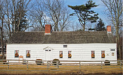
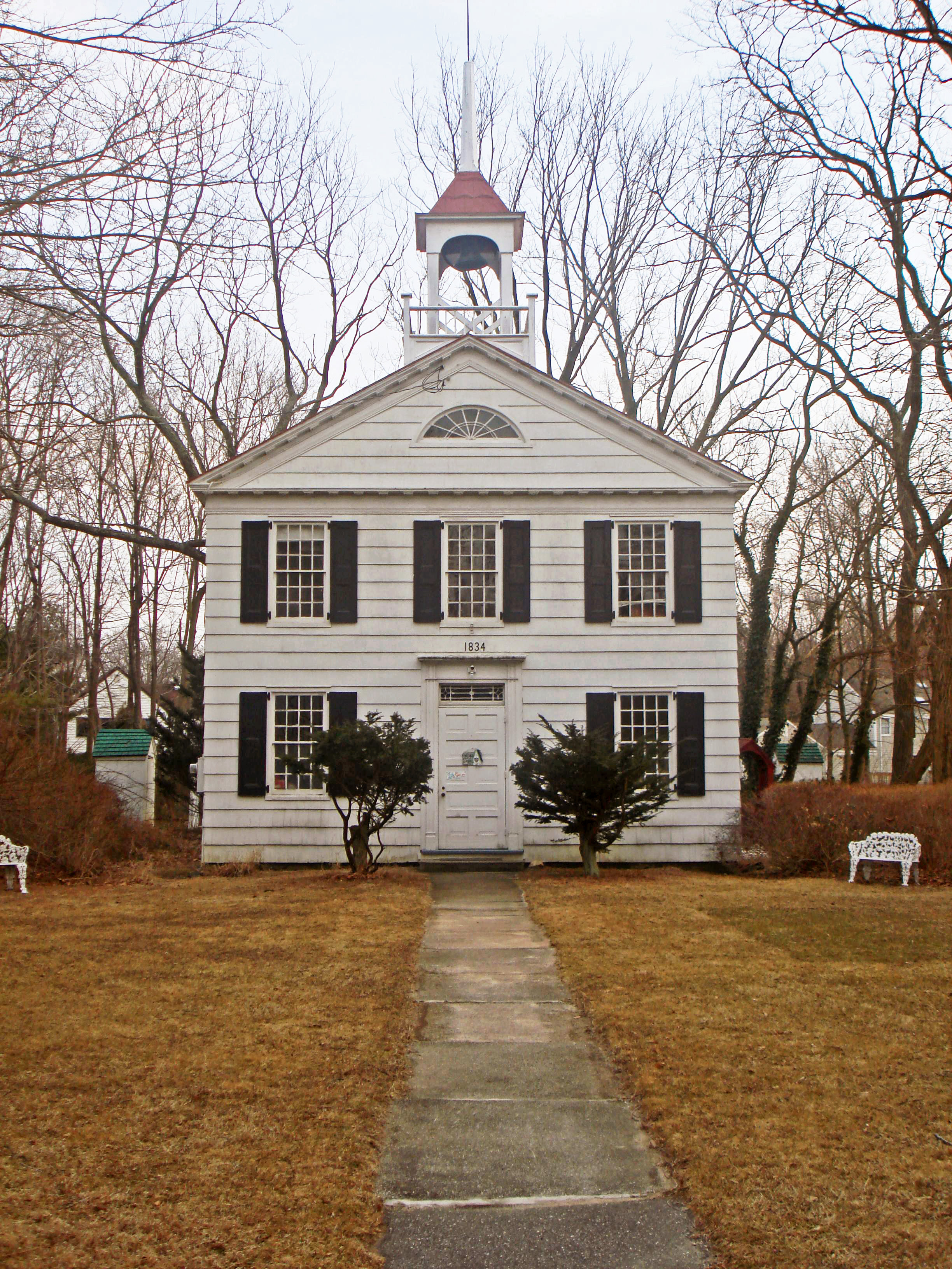
Miller Place, New York — CDP — The historic Academy of Miller Place U.S. Census map
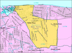 U.S. Census map
 Miller Place, New York
Coordinates: 40°56′48″N 72°59′35″W / 40.94667°N 72.99306°WCoordinates: 40°56′48″N 72°59′35″W / 40.94667°N 72.99306°W Country United States State New York County Suffolk Area - Total 7.2 sq mi (18.7 km2) - Land 7.2 sq mi (18.7 km2) - Water 0.0 sq mi (0.0 km2) Elevation 131 ft (40 m) Population (2000) - Total 10,580 - Density 1,468.1/sq mi (566.8/km2) Time zone Eastern (EST) (UTC-5) - Summer (DST) EDT (UTC-4) ZIP code 11764 Area code(s) 631 FIPS code 36-47306 GNIS feature ID 0957319 Miller Place is a hamlet and census-designated place (CDP) in Suffolk County, New York, United States, on the North Shore of Long Island. The population was 10,580 at the 2000 census.
Contents
Geography
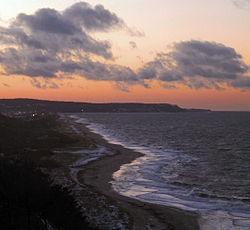

View along Miller Place Beach toward Cedar Beach and the village of Belle Terre Miller Place is located at 40°56′48″N 72°59′35″W / 40.94667°N 72.99306°W (40.946624, -72.993087).[1]
According to the United States Census Bureau, the CDP has a total area of 7.2 square miles (19 km2).The area is hilly in some areas but has good grass and trees in most places because much of Miller Place was farm land before the population of Long Island grew.
Miller Place contains a small pond, a beach, and a small park that contains a baseball field. There are also many historical buildings in Miller Place. However, nearly all lands are heavily developed by either suburban housing communities or commercial locations.
The hamlet borders the towns of Sound Beach, Mount Sinai, Rocky Point, Middle Island and Coram.
History
Miller Place is a town that has been inhabited during five centuries. The region has gone through, and has been affected by, events including the French and Indian War and American Revolution. Throughout most of its history, Miller Place has been an agricultural based society. However, similarly to the changes in much of Long Island, the hamlet has transformed into a densely populated suburban area in recent decades.
While the original settler of Miller Place is unknown, the settling of the region is largely accredited to the original Miller family. In 1679, a man named John Thomas is known to have sold a local 30-acre (120,000 m2) plot to Andrew Miller, a cooper from either England or Scotland. Miller's family expanded well into the 18th century and continually developed houses near the northern part of town.
The Millers were in time joined by members of such families as the Helmes, Robinsons, Burnetts, Hawkins, Woodhulls, and Thomases of Imperial
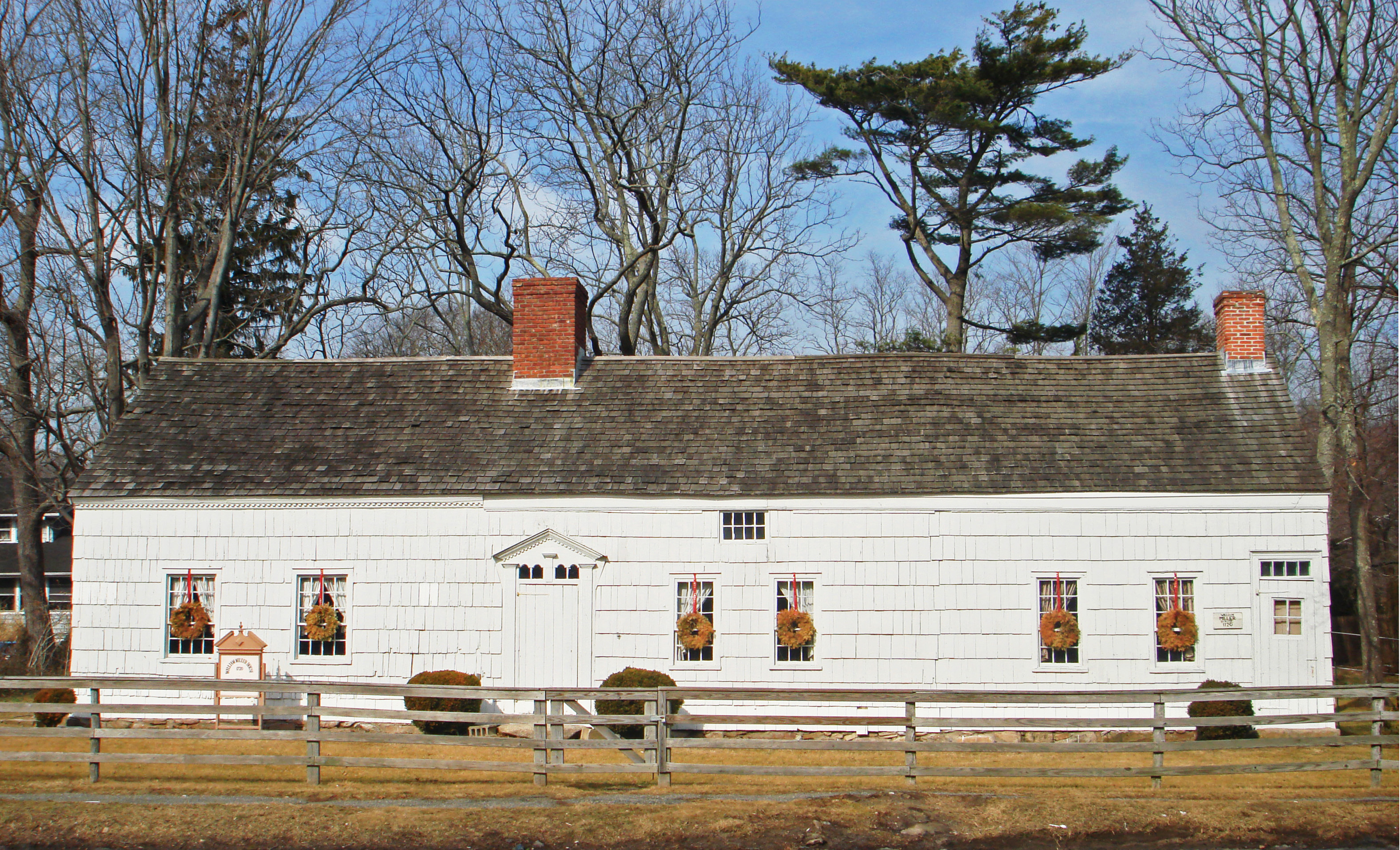
The first public school in the town was established in 1813. By 1818, 47 students attended classes. The original building was destroyed by a stove-fire in 1835, so a new one-room building was erected near the Ebenezer Miller house in 1837. The district moved to the Academy in 1897, a building that still stands as a small library along present-day North Country Road. In 1918 the old schoolhouse was torn down and in 1937 a new building was constructed across from the Miller Place Pond. In 1852, it was recorded that fifty children were being taught. In 1932, records show only twenty-one students enrolled at the school.
The old Miller homestead, one of the town's most historic landmarks, was composed in three sections between the years 1720 and 1816 The hamlet became home to a station of the Long Island Railroad in 1895. This location was near the present day intersection of Sylvan and Echo Avenues. It transported people to stops at Port Jefferson, Wading River, and numerous other towns. Upon the station burning down in a 1902 fire, a new one was built the next year. However, this building was destroyed in 1930 by another fire and the eastern railroad lines were soon abandoned.
In the later 19th century, Miller Place became a popular summer resort location. A barn-like building known as the Harbor House was established and run by a Miss Clara Potter and quickly became a haven for many young girls. However the building was destroyed in a 1962 fire.[2]
Many historical residencies still remain, mostly along what is now North Country Road. Also, many roads in the present town have been named after historical families. A number of historic building were included in the Miller Place Historic District, listed on the National Register of Historic Places in 1976.[3] Separately listed is the Samuel Hopkins House.[3]
Demographics
As of the census[4] of 2000, there are 10,580 people, 3,397 households, and 2,833 families residing in the CDP. The population density is 1,468.1 per square mile (566.6/km²). There are 3,512 housing units at an average density of 487.3/sq mi (188.1/km²). The racial makeup of the CDP is 94.2% White, 0.43% African American, 0.19% Native American, 1.35% Asian, 0.00% Pacific Islander, 0.49% from other races, and 0.78% from two or more races. 3.20% of the population are Hispanic or Latino of any race.
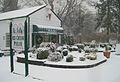
The entrance to a local Christmas tree farm There are 3,397 households out of which 46.7% have children under the age of 18 living with them, 74.0% are married couples living together, 6.8% have a female householder with no husband present, and 16.6% are non-families. 13.0% of all households are made up of individuals and 4.4% have someone living alone who is 65 years of age or older. The average household size is 3.10 and the average family size is 3.42.
In the CDP the population is spread out with 30.2% under the age of 18, 6.5% from 18 to 24, 29.9% from 25 to 44, 26.1% from 45 to 64, and 7.3% who are 65 years of age or older. The median age is 36 years. For every 100 females there are 97.9 males. For every 100 females age 18 and over, there are 95.4 males.
The median income for a household in the CDP is $80,455, and the median income for a family is $87,656. Males have a median income of $58,887 versus $37,091 for females. The per capita income for the CDP is $27,895. 2.4% of the population and 1.0% of families are below the poverty line. Out of the total population, 2.6% of those under the age of 18 and 2.2% of those 65 and older are living below the poverty line.
With the constant development of new housing communities, the population of Miller Place is constantly on the rise.
In the 2008 Presidential election, Miller Place chose John McCain over Barack Obama by a margin of 52% (3,893 votes) to 47% (3, 450 votes).
Local Businesses
Miller Place's main business district is located on the highway route 25A and includes mostly corporation-run locations, including a Starbucks, Subway, Ruby Tuesday, Applebees, Stop and Shop, Gamestop, Sprint/Nextel, Play N Trade, and many other businesses. Also along this road are multiple pizza parlors, a bagel store, a deli, Wendy's, McDonalds, two gas stations,the law firm of Timothy R. Davies, Esq and Beanberry Caffe, a local coffee and wine bar.
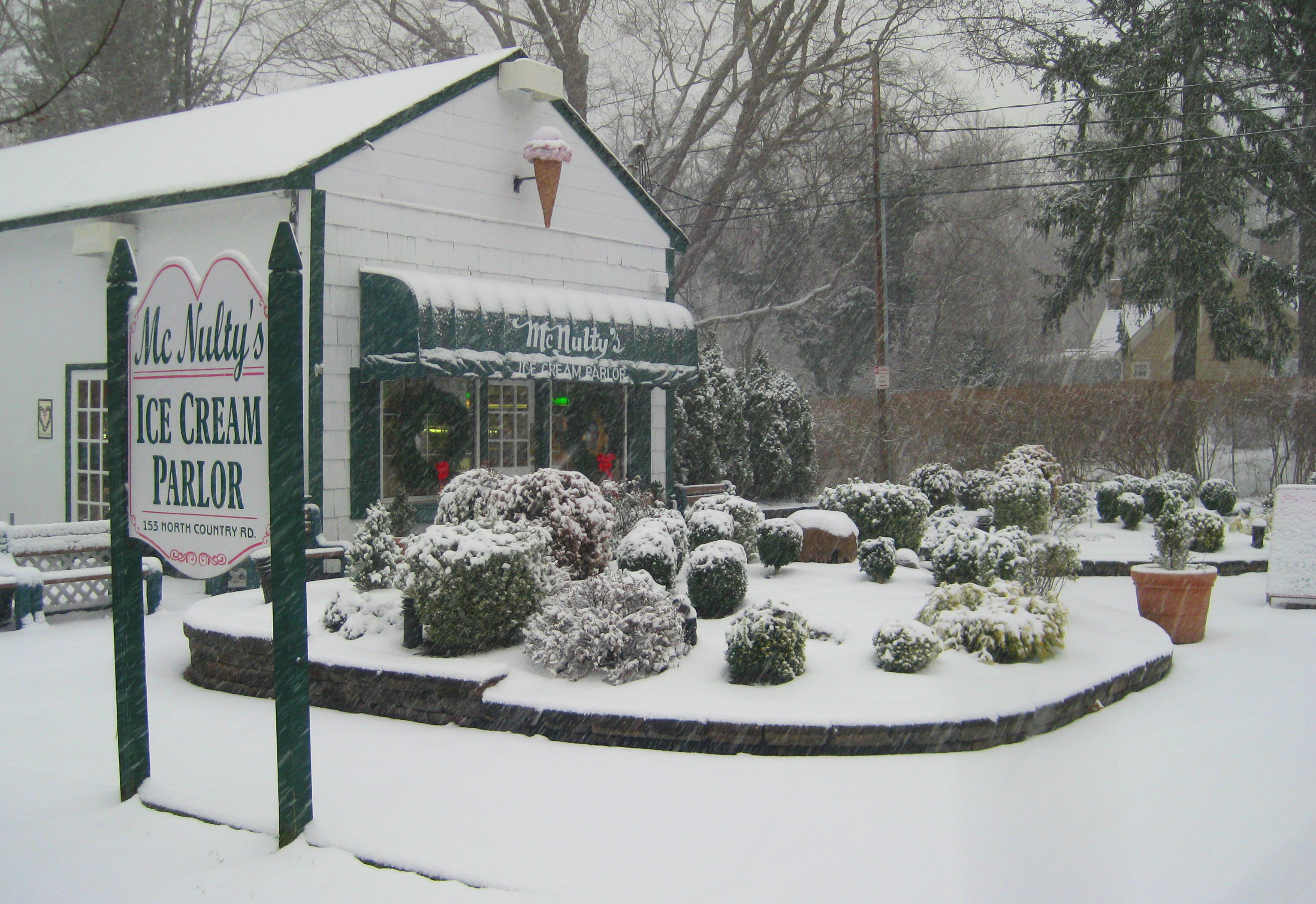
McNulty's, a family run and owned ice cream parlor, is a fixture in the town, and a popular destination point.
Business' to avoid include National Chimney & Masonry who have an "F" rating with the Better Business Bureau and have lost in court because of their fraudulent business tactics
Education

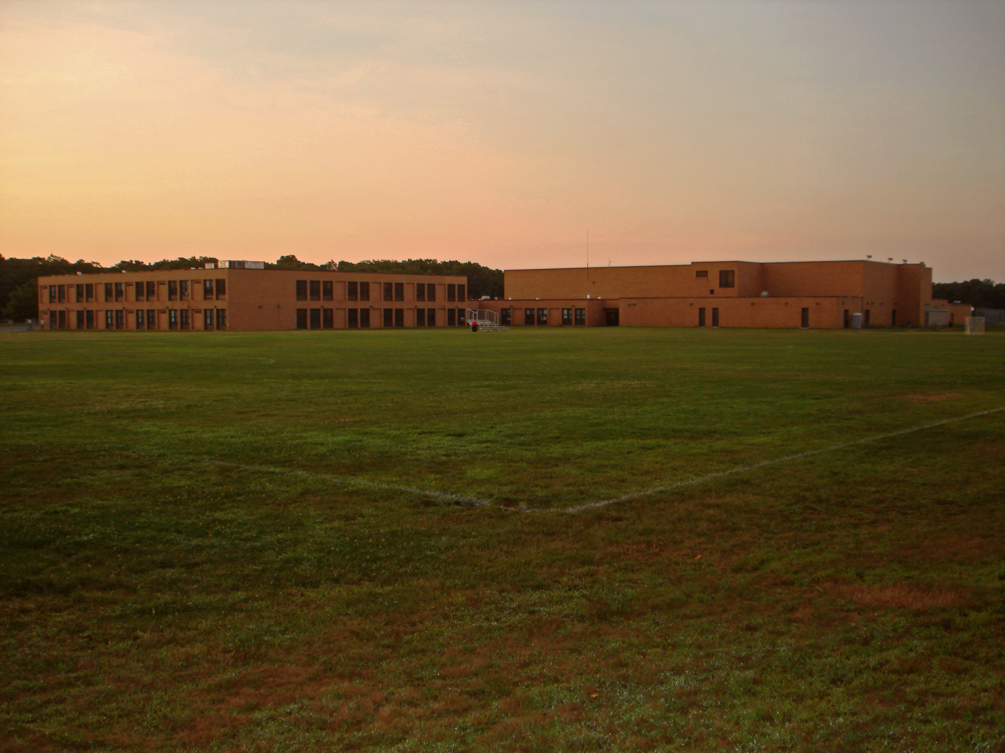
Miller Place High School Schools
The four schools of the Miller Place Union Free School District are scattered throughout the town and serve both Miller Place and much of the hamlet of Sound Beach. These include the Andrew Muller Primary School (K-2), Sound Beach School (3-5), North Country Road Middle School (6-8), and the Miller Place High School (9-12). The high school has been ranked the 78th in the nation for students taking AP classes.
Sports
Miller Place has garnered some renown for being the home of the Miller Place Panthers High School badminton team, which has earned recognition in the Guinness Book of World Records for having the longest winning streak in team sports history. "The Streak" began in the spring of 1973 and came to an end on April 12, 2005, when the Panthers were defeated in a match by Smithtown High School. The Panthers did not lose a single match over a 32-year span that encompassed 504 consecutive victories.
The Miller Place School system also fields soccer, lacrosse, cross-country, field hockey, track and field, basketball, JV and Varsity Football, and baseball teams, as well as a wrestling team and volleyball team.
The school's mascot is a panther. The school's colors are red, white and blue.
- See also: Miller Place High School, for more information on the school and its related activities.
Notable residents
- Tony Yayo, a rapper and part of the rap group G-Unit.
- Ralph Macchio is an American actor of Italian ancestry. His most notable role was as Daniel LaRusso in the Karate Kid series, and is former contestant on Dancing with the Stars.
Photos
-

Miller Place Beach at dawn -
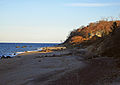
An eastward view from an entrance to Miller Place Beach -
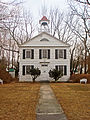
The historic Academy schoolhouse of Miller Place -

A local residence known as the 'Pirate House', because of numerous lawn decorations -
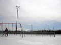
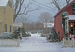
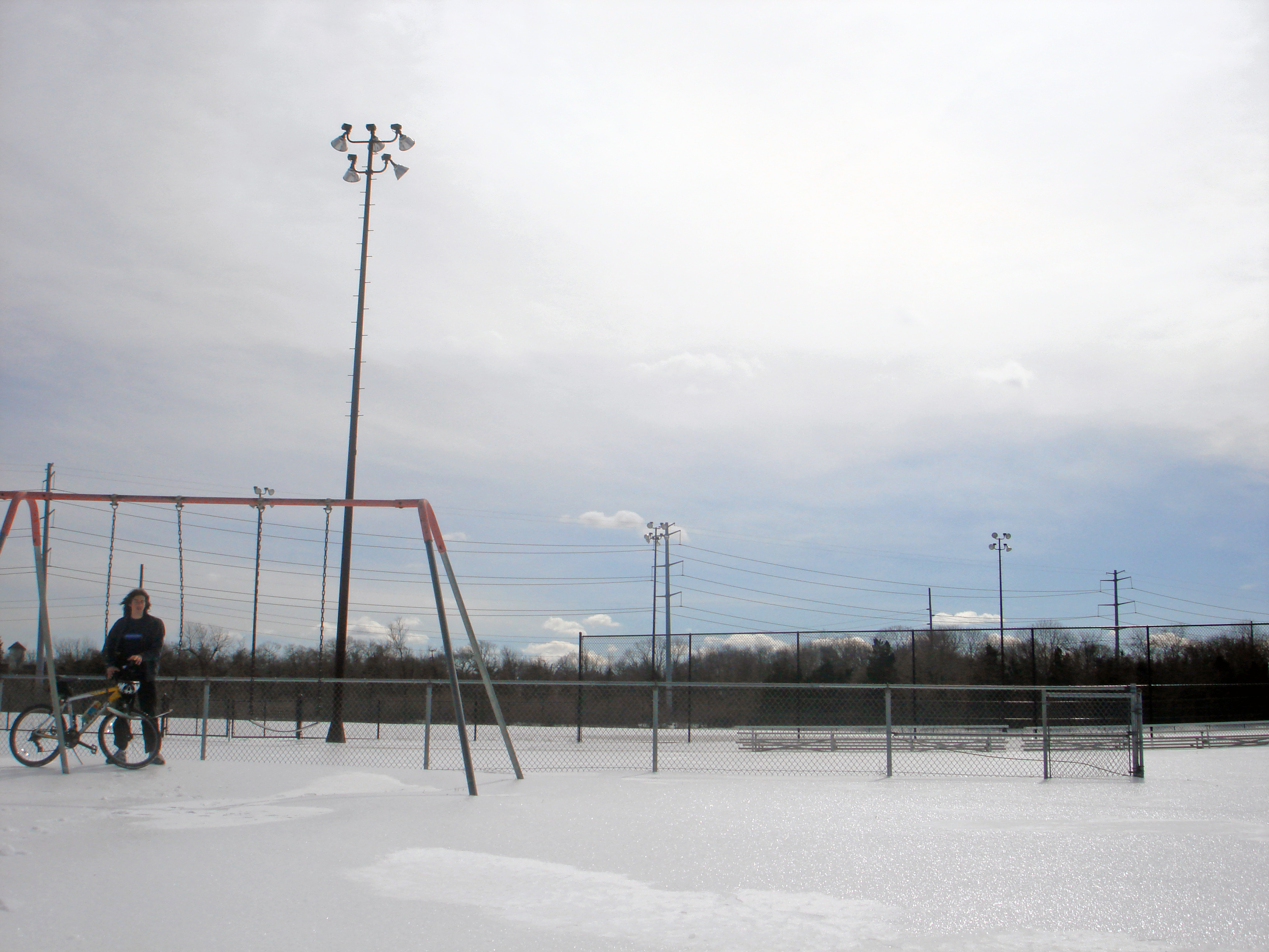
A winter day at the Sylvan Avenue Park -
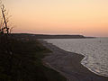
A westward view from the local cliffs -
McNulty's ice cream parlor. -

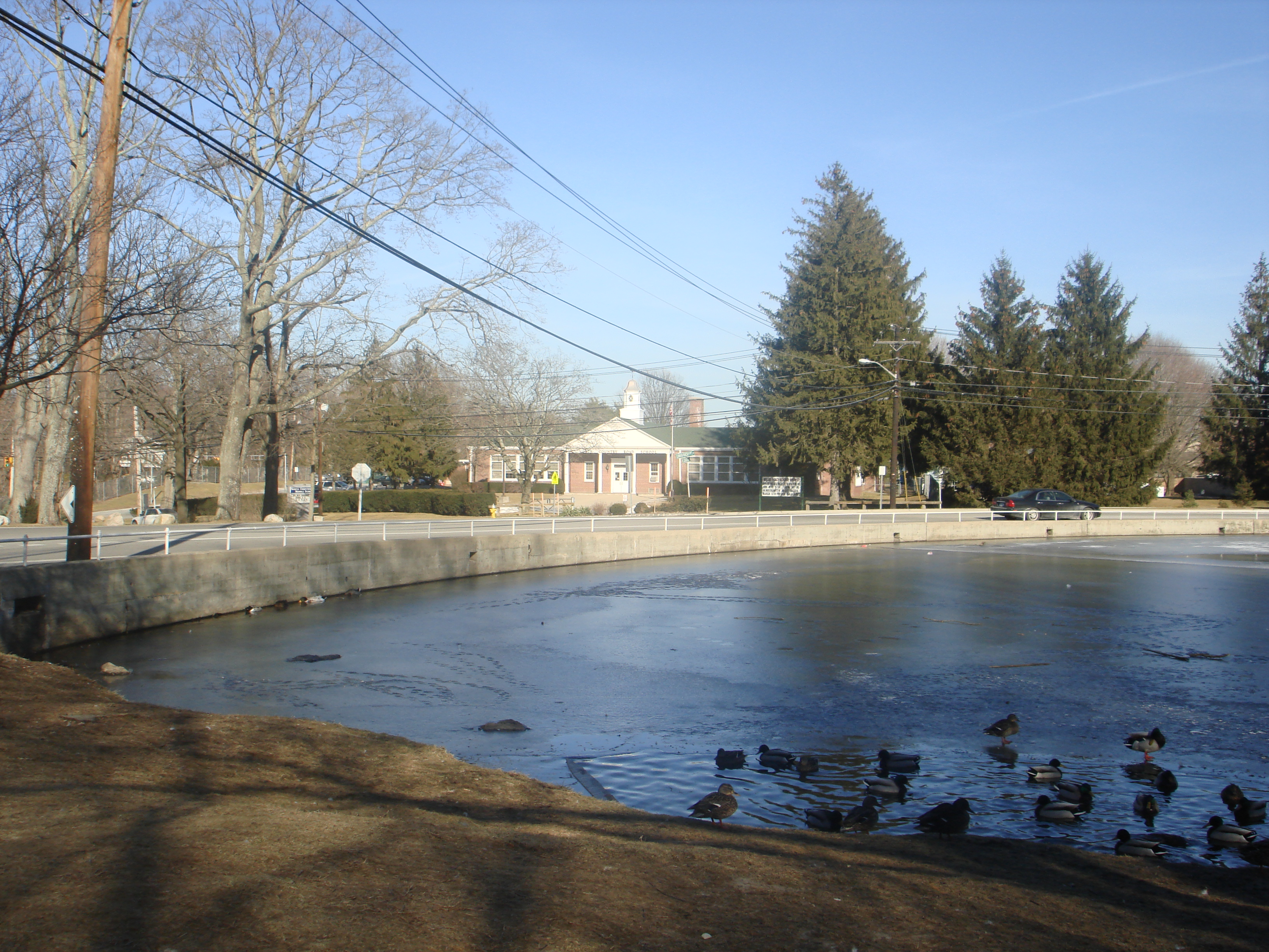
Miller Place Middle School as seen from Miller Place Pond.
See also
References
- ^ "US Gazetteer files: 2010, 2000, and 1990". United States Census Bureau. 2011-02-12. http://www.census.gov/geo/www/gazetteer/gazette.html. Retrieved 2011-04-23.
- ^ Gass, M.(1971). History of Miller's Place, St. Gerard Printing.
- ^ a b "National Register Information System". National Register of Historic Places. National Park Service. 2009-03-13. http://nrhp.focus.nps.gov/natreg/docs/All_Data.html.
- ^ "American FactFinder". United States Census Bureau. http://factfinder.census.gov. Retrieved 2008-01-31.
External links
- Miller Place School District Website
- Miller Place Fire Department
- Miller Place Pirate House (Long Island Oddities)
Town of Brookhaven, New York County Villages Belle Terre · Bellport · Lake Grove · Mastic Beach · Old Field · Patchogue · Poquott · Port Jefferson · ShorehamHamlets Blue Point · Brookhaven · Calverton · Canaan Lake · Center Moriches · Centereach · Cherry Grove · Coram · Crystal Brook · Cupsogue Beach · Davis Park · East Moriches · East Patchogue · East Setauket · East Shoreham · Eastport · Farmingville · Fire Island Pines · Gordon Heights · Hagerman · Holbrook · Holtsville · Lake Ronkonkoma · Manorville · Mastic · Medford · Middle Island · Miller Place · Moriches · Mount Sinai · North Bellport · North Patchogue · Ocean Bay Park · Point O' Woods · Port Jefferson Station · Ridge · Rocky Point · Ronkonkoma · Selden · Setauket · Shirley · Sound Beach · South Haven · Stony Brook · Strongs Neck · Terryville · Upton · Wading River · Water Island · West Manor · YaphankIndian
reservationPoospatuckWebsite: brookhaven.org Categories:- Brookhaven, New York
- Long Island Sound
- Hamlets in New York
- Census-designated places in New York
- Populated places in Suffolk County, New York


Wikimedia Foundation. 2010.