- Wytheville, Virginia
-
Town of Wytheville, Virginia — Town — Main Street in Wytheville Location in the Commonwealth of Virginia
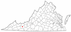
Coordinates: 36°56′52″N 81°5′13″W / 36.94778°N 81.08694°WCoordinates: 36°56′52″N 81°5′13″W / 36.94778°N 81.08694°W Country United States State Virginia County Wythe Government – Mayor Trenton G. Crewe, Jr. Area – Total 14.3 sq mi (37.0 km2) – Land 14.3 sq mi (37.0 km2) – Water 0.0 sq mi (0.0 km2) Elevation 2,287 ft (697 m) Population (2010) – Total 8,211 – Density 574.7/sq mi (221.9/km2) U.S. Census Bureau, 2010 Census Time zone EST (UTC-5) – Summer (DST) EDT (UTC-4) ZIP code 24382 Area code(s) 276 FIPS code 51-88000[1] GNIS feature ID 1498537[2] Website http://www.wytheville.org/ Wytheville is a town in Wythe County, Virginia, United States. The population was 8,211 at the 2010 census. It is the county seat of Wythe County[3]. The town is home to a Chautauqua Festival, held the third weekend in June every year since 1985. The Festival features live concerts, stage magic, arts and crafts, hot air ballooning, dance, children's activities and diverse carnival-style food. The Festival is held at Elizabeth Brown Memorial Park and is cosponsored by the county, town and the Wythe Arts Council.[4] The town's name is pronounced "WITH-vill".
Contents
Geography
Wytheville is located at 36°56′52″N 81°5′13″W / 36.94778°N 81.08694°W (36.947679, -81.086955)[5].
According to the United States Census Bureau, the town has a total area of 14.3 square miles (37.0 km²), of which 14.3 square miles (37.0 km²) is land and 0.04 square mile (0.1 km²) (0.14%) is water.
Wytheville is an important point on both I-77 and I-81 and lies amidst a wrong-way concurrency of I-77 and I-81. It is located about halfway between Bristol, Tennessee/Virginia and Roanoke. On the I-77 corridor, it is located about halfway between Charleston, West Virginia and Charlotte, North Carolina. The nearby community of Fort Chiswell is the control city for the northbound traffic on I-77 coming from Charlotte, Statesville, Elkin, and Mount Airy, North Carolina. In the near future, Interstate 74 will go through Wytheville in addition to the two other interstates.
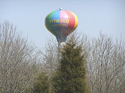 Wytheville's water tower, seen from the highway
Due to the confluence of I-77, I-81 and several U.S. Highways, and its location in the foothills of the Blue Ridge Mountains, Wytheville is known as "The Hubcap of Southwest Virginia" and "the Crossroads of the Blue Ridge".
Demographics
As of the census[1] of 2000, there were 7,804 people, 3,504 households, and 2,112 families residing in the town. The population density was 546.8 people per square mile (211.2/km²). There were 3,776 housing units at an average density of 264.6 per square mile (102.2/km²). The racial makeup of the town was 90.76% White, 7.19% African American, 0.13% Native American, 0.70% Asian, 0.03% Pacific Islander, 0.33% from other races, and 0.86% from two or more races. Hispanic or Latino of any race were 0.82% of the population.
There were 3,504 households out of which 22.9% had children under the age of 18 living with them, 43.4% were married couples living together, 13.6% had a female householder with no husband present, and 39.7% were non-families. 36.2% of all households were made up of individuals and 16.3% had someone living alone who was 65 years of age or older. The average household size was 2.11 and the average family size was 2.72.
In the town the population was spread out with 19.3% under the age of 18, 6.9% from 18 to 24, 25.3% from 25 to 44, 25.6% from 45 to 64, and 22.8% who were 65 years of age or older. The median age was 44 years. For every 100 females there were 78.1 males. For every 100 females age 18 and over, there were 75.2 males.
The median income for a household in the town was $28,043, and the median income for a family was $41,513. Males had a median income of $28,160 versus $21,282 for females. The per capita income for the town was $20,223. About 10.0% of families and 14.6% of the population were below the poverty line, including 21.5% of those under age 18 and 9.6% of those age 65 or over.
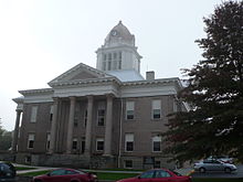 The courthouse in Wytheville, Virginia.
History
Wytheville was named in honor of George Wythe, the "father of American Jurisprudence" and signer of the Declaration of Independence. The town was known as a polio town during a great polio outbreak.[when?] Wytheville is also known for a handful of UFO sightings in the late 1980s and early 90's as documented on Unsolved Mysteries.
The local post office became the site of a hostage crisis on 23 December 2009, when a man named Warren Taylor entered pushing a wheelchair and claiming to be carrying explosives. Taylor took three hostages and fired several shots before negotiators convinced him to give himself up.[6]
Places of interest
- The Edith Bolling Wilson Birthplace Foundation. Edith Bolling Wilson has been referred to as "The Secret President" and "The First Woman President" because she was seen as assuming many governmental duties after President Woodrow Wilson suffered a stroke in 1919.
- The Big Walker Lookout Tower. Just twelve miles to the north of Wytheville, stands the 100 foot high big walker lookout tower.
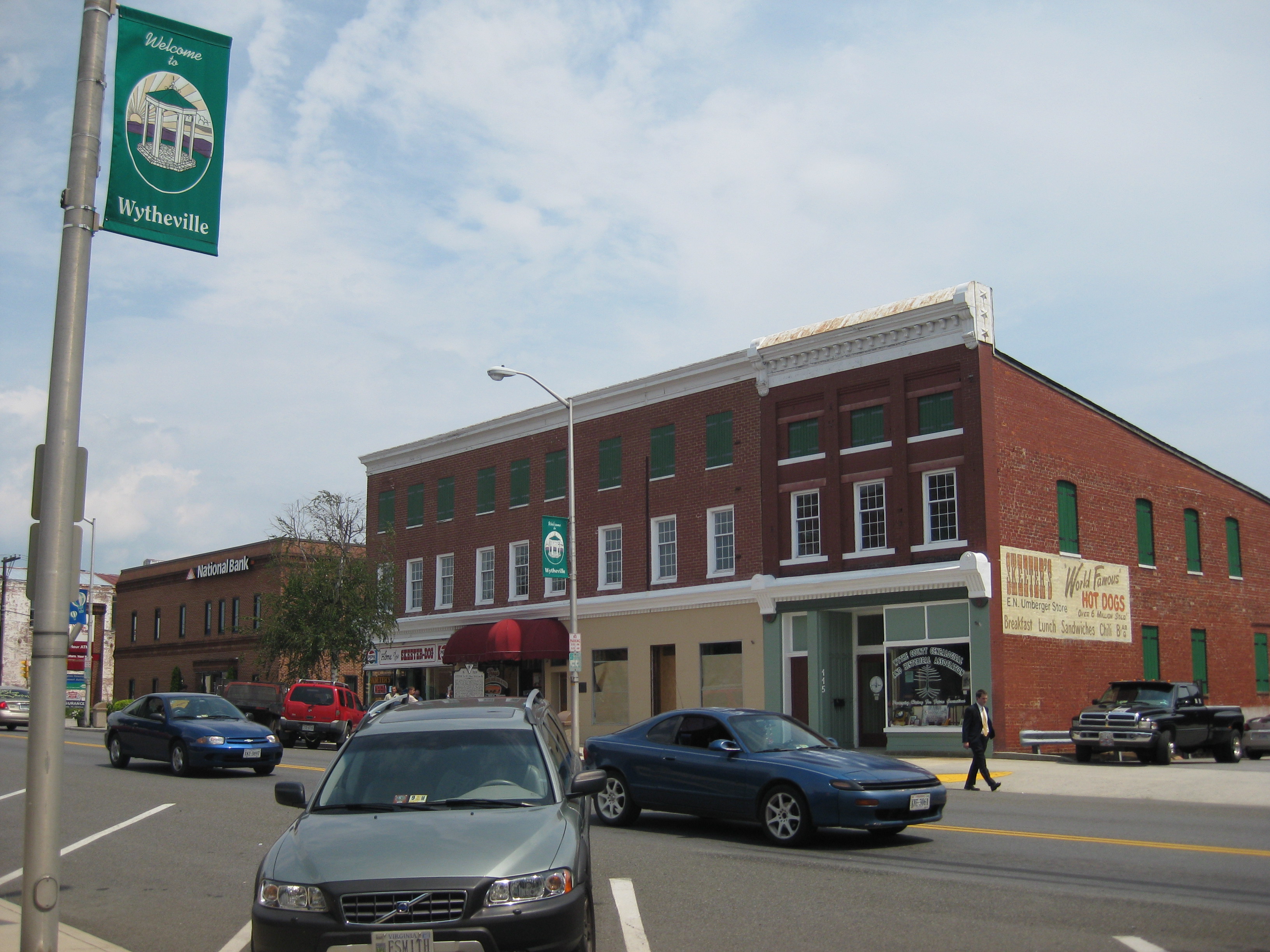
- Wytheville Farmers Market. The Wytheville Farmers Market offers locally grown fresh produce, meats, honey, eggs, flowers & herbs, and baked goods on Saturdays between 9 am - 1 pm May through October. The farmers market is located on Main Street downtown and is quickly becoming a social gathering place Saturday mornings and holds a variety of free events throughout the season.
Notable residents
- Edith Bolling Galt Wilson-- Wife of President Woodrow Wilson
- David French Boyd
- William Gibson-- spent much of his childhood there
- James Walker-- Lt. Governor of VA; Confederate General
- E. Lee Trinkle-- Governor of VA
- Lem Davis Tuggle
References
- ^ a b "American FactFinder". United States Census Bureau. http://factfinder.census.gov. Retrieved 2008-01-31.
- ^ "US Board on Geographic Names". United States Geological Survey. 2007-10-25. http://geonames.usgs.gov. Retrieved 2008-01-31.
- ^ "Find a County". National Association of Counties. http://www.naco.org/Counties/Pages/FindACounty.aspx. Retrieved 2011-06-07.
- ^ Fussell, pg. 92
- ^ "US Gazetteer files: 2010, 2000, and 1990". United States Census Bureau. 2011-02-12. http://www.census.gov/geo/www/gazetteer/gazette.html. Retrieved 2011-04-23.
- ^ "Post office hostage drama in US state of Virginia ends". BBC. 24 December 2009. http://news.bbc.co.uk/2/hi/americas/8429274.stm. Retrieved 2009-12-26.
Further reading
- Fussell, Fred C. (2003). Blue Ridge Music Trails: Finding a Place in the Circle. North Carolina Folklife Institute. 080785459X.
External links
- Visit Wytheville (Visitor's guide, history, and other resources)
Municipalities and communities of Wythe County, Virginia County seat: WythevilleTowns Rural Retreat | Wytheville

CDPs Unincorporated
communities Commonwealth of Virginia
Topics - Climate
- Colleges and universities
- Colony
- Congressional Districts
- Culture
- Delegations
- Demographics
- Economy
- Education
- Environment
- Furniture
- Geography
- Government
- Governors
- History
- Historic Landmarks
- Magisterial Districts
- Homes
- Music
- People
- Police
- Politics
- Rights
- Rivers
- School divisions
- Scouting
- Slogan
- Sports teams
- State Fair
- State parks
- Symbols
- Towns
- Transportation
- Tribes
- Visitor Attractions
Regions - Allegheny Mountains
- Atlantic Coastal Plain
- Blue Ridge
- Chesapeake Bay
- Cumberland Mountains
- Delmarva Peninsula
- Eastern Shore
- Hampton Roads
- Middle Peninsula
- Northern Neck
- Northern Virginia
- Piedmont
- Ridge-and-Valley Appalachians
- Shenandoah Valley
- South Hampton Roads
- Southside
- Southwest Virginia
- Tennessee Valley
- Tidewater
- Tri-Cities
- Virginia Peninsula
Metro areas - Blacksburg-Christiansburg-Radford
- Bluefield
- Bristol
- Charlottesville
- Culpeper
- Danville
- Fredericksburg
- Harrisonburg
- Lynchburg
- Martinsville
- Richmond
- Roanoke
- Staunton
- Hampton Roads
- Washington-Arlington-Alexandria
- Waynesboro
- Winchester
Counties - Accomack
- Albemarle
- Alleghany
- Amelia
- Amherst
- Appomattox
- Arlington
- Augusta
- Bath
- Bedford
- Bland
- Botetourt
- Brunswick
- Buchanan
- Buckingham
- Campbell
- Caroline
- Carroll
- Charles City
- Charlotte
- Chesterfield
- Clarke
- Craig
- Culpeper
- Cumberland
- Dickenson
- Dinwiddie
- Essex
- Fairfax
- Fauquier
- Floyd
- Fluvanna
- Franklin
- Frederick
- Giles
- Gloucester
- Goochland
- Grayson
- Greene
- Greensville
- Halifax
- Hanover
- Henrico
- Henry
- Highland
- Isle of Wight
- James City
- King and Queen
- King George
- King William
- Lancaster
- Lee
- Loudoun
- Louisa
- Lunenburg
- Madison
- Mathews
- Mecklenburg
- Middlesex
- Montgomery
- Nelson
- New Kent
- Northampton
- Northumberland
- Nottoway
- Orange
- Page
- Patrick
- Pittsylvania
- Powhatan
- Prince Edward
- Prince George
- Prince William
- Pulaski
- Rappahannock
- Richmond
- Roanoke
- Rockbridge
- Rockingham
- Russell
- Scott
- Shenandoah
- Smyth
- Southampton
- Spotsylvania
- Stafford
- Surry
- Sussex
- Tazewell
- Warren
- Washington
- Westmoreland
- Wise
- Wythe
- York
Independent
cities- Alexandria
- Bedford
- Bristol
- Buena Vista
- Charlottesville
- Chesapeake
- Colonial Heights
- Covington
- Danville
- Emporia
- Fairfax
- Falls Church
- Franklin
- Fredericksburg
- Galax
- Hampton
- Harrisonburg
- Hopewell
- Lexington
- Lynchburg
- Manassas
- Manassas Park
- Martinsville
- Newport News
- Norfolk
- Norton
- Petersburg
- Poquoson
- Portsmouth
- Radford
- Richmond
- Roanoke
- Salem
- Staunton
- Suffolk
- Virginia Beach
- Waynesboro
- Williamsburg
- Winchester
Categories:- 21st-century Chautauquas
- Populated places in Wythe County, Virginia
- Towns in Virginia
- County seats in Virginia
- U.S. Route 11


Wikimedia Foundation. 2010.