- Surry, Virginia
-
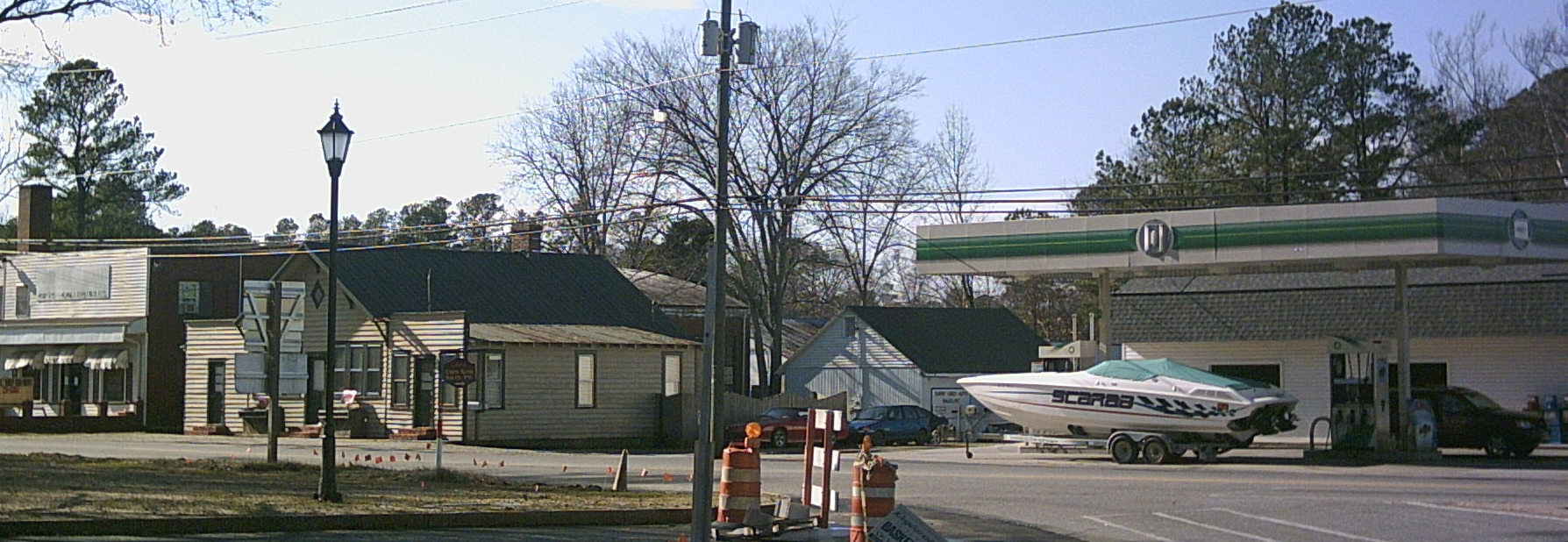
Surry, Virginia — Town — Shops and a gas station in downtown Surry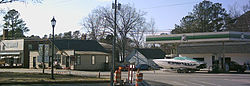 Location of Surry, Virginia
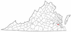
Coordinates: 37°8′9″N 76°50′7″W / 37.13583°N 76.83528°WCoordinates: 37°8′9″N 76°50′7″W / 37.13583°N 76.83528°W Country United States State Virginia County Surry Area – Total 0.8 sq mi (2.1 km2) – Land 0.8 sq mi (2.1 km2) – Water 0.0 sq mi (0.0 km2) Elevation 121 ft (37 m) Population (2000) – Total 262 – Density 323.7/sq mi (125.0/km2) Time zone Eastern (EST) (UTC-5) – Summer (DST) EDT (UTC-4) ZIP code 23883 Area code(s) 757 FIPS code 51-76880[1] GNIS feature ID 1500197[2] Surry (formerly Cross Roads, McIntosh's Cross Roads, McIntoshs Cross Roads, Scuffletown, Smithville, Surry Court House, and The Crossroads)[3] is an incorporated town in Surry County, Virginia, United States. The population was 262 at the 2000 census. It is the county seat of Surry County[4].
Geography
Surry is located at 37°8′9″N 76°50′7″W / 37.13583°N 76.83528°W (37.135731, -76.835207)[5].
According to the United States Census Bureau, the town has a total area of 0.8 square miles (2.1 km²), all of it land.
Demographics
As of the census[1] of 2000, there were 262 people, 109 households, and 80 families residing in the town. The population density was 323.7 people per square mile (124.9/km²). There were 119 housing units at an average density of 147.0 per square mile (56.7/km²). The racial makeup of the town was 74.05% White, 23.28% African American, 1.15% Native American, 1.53% from other races. Hispanic or Latino of any race were 0.76% of the population.
There were 109 households out of which 30.3% had children under the age of 18 living with them, 53.2% were married couples living together, 11.9% had a female householder with no husband present, and 26.6% were non-families. 24.8% of all households were made up of individuals and 8.3% had someone living alone who was 65 years of age or older. The average household size was 2.40 and the average family size was 2.83.
In the town the population was spread out with 21.8% under the age of 18, 8.4% from 18 to 24, 33.2% from 25 to 44, 21.4% from 45 to 64, and 15.3% who were 65 years of age or older. The median age was 39 years. For every 100 females there were 98.5 males. For every 100 females age 18 and over, there were 97.1 males.
The median income for a household in the town was $42,361, and the median income for a family was $51,071. Males had a median income of $30,000 versus $22,500 for females. The per capita income for the town was $21,606. About 10.8% of families and 10.7% of the population were below the poverty line, including 13.3% of those under the age of eighteen and 5.0% of those sixty five or over.
References
- ^ a b "American FactFinder". United States Census Bureau. http://factfinder.census.gov. Retrieved 2008-01-31.
- ^ "US Board on Geographic Names". United States Geological Survey. 2007-10-25. http://geonames.usgs.gov. Retrieved 2008-01-31.
- ^ U.S. Geological Survey Geographic Names Information System: Surry, Virginia
- ^ "Find a County". National Association of Counties. http://www.naco.org/Counties/Pages/FindACounty.aspx. Retrieved 2011-06-07.
- ^ "US Gazetteer files: 2010, 2000, and 1990". United States Census Bureau. 2011-02-12. http://www.census.gov/geo/www/gazetteer/gazette.html. Retrieved 2011-04-23.
Municipalities and communities of Surry County, Virginia County seat: SurryTowns 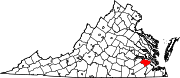
CDP Categories:- Populated places in Surry County, Virginia
- Towns in Virginia
- County seats in Virginia
- Hampton Roads


Wikimedia Foundation. 2010.