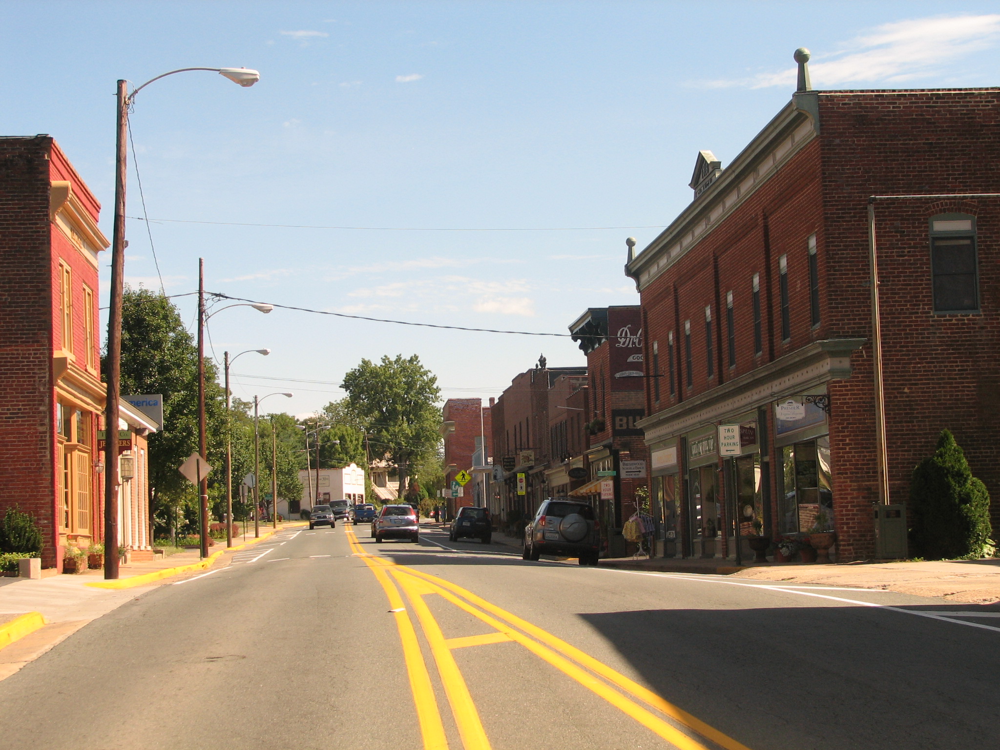
- Gordonsville, Virginia
-
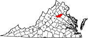
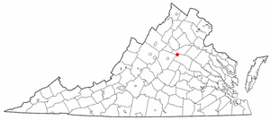
Gordonsville, Virginia — Town —  Location of Gordonsville, Virginia
Coordinates: 38°8′5″N 78°11′13″W / 38.13472°N 78.18694°WCoordinates: 38°8′5″N 78°11′13″W / 38.13472°N 78.18694°W Country United States State Virginia Counties Louisa, Orange Area – Total 0.9 sq mi (2.4 km2) – Land 0.9 sq mi (2.4 km2) – Water 0.0 sq mi (0.0 km2) Elevation 499 ft (152 m) Population (2000) – Total 1,498 – Density 1,646.1/sq mi (635.6/km2) Time zone Eastern (EST) (UTC-5) – Summer (DST) EDT (UTC-4) ZIP code 22942 Area code(s) 540 FIPS code 51-31936[1] GNIS feature ID 1467264[2] Gordonsville is a town in Louisa and Orange counties in the U.S. state of Virginia. The population was 1,498 at the 2000 census.
Contents
History
Nathaniel Gordon purchased 1,350 acres (5.5 km2) in 1787 and in 1794, or possibly earlier, applied for and was granted a license to operate a tavern. Travelers leaving the Charlottesville of Thomas Jefferson's day followed the "Fredericksburgh Great road" northward which, at the site of the present traffic circle in Gordonsville, crossed the road from Richmond leading west over the Blue Ridge Mountains into the Valley. President Jefferson described Gordon’s in 1802 as a "good house" when recommending the best route south to Charlottesville from the recently established National capital on the Potomac.
The building was known as Gordon’s Tavern, Gordon Tavern or later as Gordon Inn. Stagecoach passengers found a well-furnished public house where they could refresh themselves with apple brandy -'the common drink of the country,' a visiting Englishman noted, or other spirits. The commemorative marker at the site lists these prominent Americans as guests at the tavern: George Washington, Thomas Jefferson, James Monroe, James & Philip Pendleton Barbour, James Waddel, William Wirt & Henry Clay. Another famous visitor was Major General the Marquis de Lafayette.
In 1839, the General Assembly authorized the Louisa Rail Road Company to extend its line from Louisa Court House to Gordonsville. Thus was ushered in a time of growth and prosperity for Gordonsville. It became a center of trade for the plantations and farms in the surrounding countryside. The Orange & Alexandria railroad completed its line into Gordonsville in 1854. The wood-burning locomotives traveled at speeds of up to twenty miles per hour.
When Richard Omohundro’s tavern near the depot burned in 1859 it was replaced by the Exchange Hotel, which still stands. The hotel was an elegant stopping place which became a military hospital.
Gordonsville and the railroads which intersected there were of vital importance to the Confederacy. Troops from Richmond on the way to the First Battle of Bull Run on July 21, 1861 came through town. During the war years, Robert E. Lee, James Longstreet, Stonewall Jackson, Ewell & A.P. Hill spent time in Gordonsville. Major Gen. Philip Sheridan led a raid in the direction of Gordonsville and Charlottesville but was stopped by Wade Hampton’s Confederate cavalry in the vicinity of Trevilian Station. Gordonsville was threatened many times but was always successfully defended by the Confederates.
Geography
Gordonsville is located at 38°8′5″N 78°11′13″W / 38.13472°N 78.18694°W (38.134628, -78.187068)[3].
According to the United States Census Bureau, the town has a total area of 0.9 square miles (2.4 km²), all land.
Demographics
As of the census[1] of 2000, there were 1,498 people, 628 households, and 401 families residing in the town. The population density was 1,646.1 people per square mile (635.6/km²). There were 688 housing units at an average density of 756.0 per square mile (291.9/km²). The racial makeup of the town was 72.16% White, 24.83% African American, 0.20% Native American, 0.27% Asian, 0.67% from other races, and 1.87% from two or more races. Hispanic or Latino of any race were 1.13% of the population.
There were 628 households out of which 30.4% had children under the age of 18 living with them, 42.0% were married couples living together, 17.4% had a female householder with no husband present, and 36.1% were non-families. 32.2% of all households were made up of individuals and 13.5% had someone living alone who was 65 years of age or older. The average household size was 2.35 and the average family size was 2.95.
In the town the population was spread out with 23.9% under the age of 18, 9.2% from 18 to 24, 28.4% from 25 to 44, 23.0% from 45 to 64, and 15.5% who were 65 years of age or older. The median age was 38 years. For every 100 females there were 80.0 males. For every 100 females age 18 and over, there were 76.5 males.
The median income for a household in the town was $35,655, and the median income for a family was $40,268. Males had a median income of $29,464 versus $23,102 for females. The per capita income for the town was $17,881. About 7.9% of families and 9.6% of the population were below the poverty line, including 13.5% of those under age 18 and 11.9% of those age 65 or over.
Notable residents
- Ann Marie Calhoun, violinist
References
- ^ a b "American FactFinder". United States Census Bureau. http://factfinder.census.gov. Retrieved 2008-01-31.
- ^ "US Board on Geographic Names". United States Geological Survey. 2007-10-25. http://geonames.usgs.gov. Retrieved 2008-01-31.
- ^ "US Gazetteer files: 2010, 2000, and 1990". United States Census Bureau. 2011-02-12. http://www.census.gov/geo/www/gazetteer/gazette.html. Retrieved 2011-04-23.
Further reading
- Feeney, William R. "Gordonsville During the Civil War." Encyclopedia Virginia. Ed. Brendan Wolfe. 23 Oct. 2010. Virginia Foundation for the Humanities. 13 Sep. 2010.
External links
Municipalities and communities of Louisa County, Virginia Towns 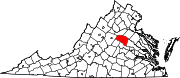
CDP Blue Ridge Shores
Unincorporated
communitiesApple Grove | Bumpass | Cuckoo | Dabneys | Gum Spring | Holly Grove | Orchid | Trevilians | Twin Oaks Community | Zion Crossroads‡
Footnotes ‡This populated place also has portions in an adjacent county or counties
Municipalities and communities of Orange County, Virginia Towns Gordonsville | Orange
CDP Lake of the Woods
Unincorporated
communitiesBarboursville‡ | Bledsoe Corner | Burr Hill | Lahore | Locust Grove | Montpelier Station | Rhoadesville | Scuffletown | Unionville
Footnotes ‡This populated place also has portions in an adjacent county or counties
Categories:- Populated places in Louisa County, Virginia
- Populated places in Orange County, Virginia
- Towns in Virginia


Wikimedia Foundation. 2010.