- National Register of Historic Places listings in Montgomery County, Kentucky
-
 Location of Montgomery County in Kentucky
This is a list of the National Register of Historic Places listings in Montgomery County, Kentucky. It is intended to be a complete list of the properties and districts on the National Register of Historic Places in Montgomery County, Kentucky, United States. The locations of National Register properties and districts for which the latitude and longitude coordinates are included below, may be seen in a Google map.[1]
There are 18 properties and districts listed on the National Register in the county.
-
- This National Park Service list is complete through NPS recent listings posted November 10, 2011.[2]
Listings county-wide
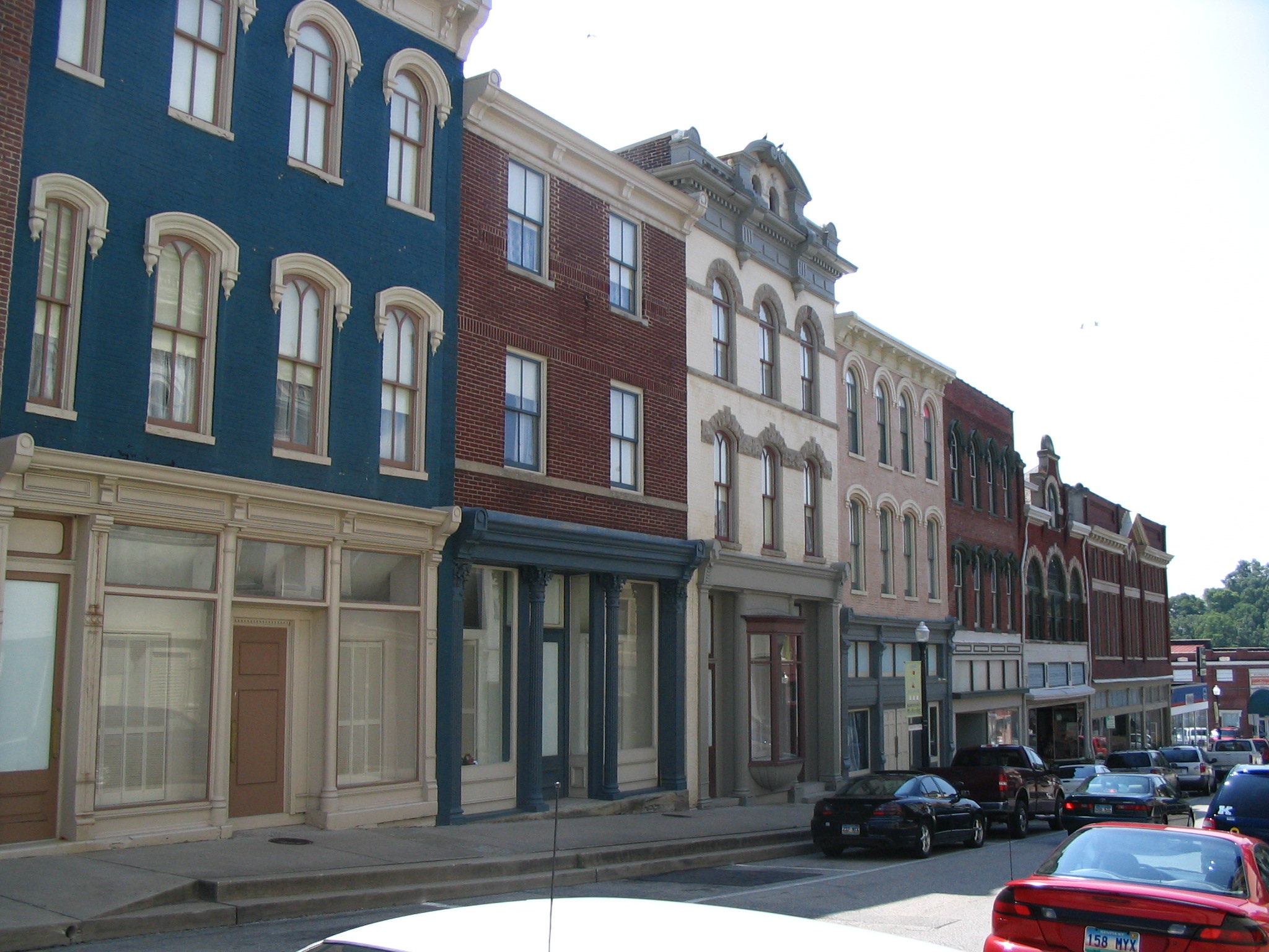
[3] Landmark name Image Date listed Location City or town Summary 1 Bondurant House June 23, 1983 Off U.S. Route 60
38°05′03″N 83°53′50″W / 38.084167°N 83.897222°WMount Sterling 2 Chesapeake and Ohio Railroad Passenger and Baggage Depots April 23, 1991 North of C&O railroad tracks between S. Maysville and S. Bank Sts.
38°03′22″N 83°56′31″W / 38.056111°N 83.941944°WMount Sterling 3 William Chiles House April 23, 1991 Off Richmond Rd. south of U.S. Route 60
38°03′16″N 83°56′59″W / 38.054444°N 83.949722°WMount Sterling 4 Church of the Ascension July 10, 1979 High and Broadway Sts.
38°03′26″N 83°56′36″W / 38.057222°N 83.943333°WMount Sterling 5 Confederate Monument of Mt. Sterling 
July 17, 1997 Machpelan Cemetery, 1.5 miles east of the junction of U.S. Route 460 and KY 713
38°03′23″N 83°55′55″W / 38.056389°N 83.931944°WMt. Sterling 6 East Mount Sterling Historic District April 23, 1991 Roughly Harrison Ave. and N. Queen St. between E. High St. and an alley north of Strother St.
38°03′36″N 89°56′26″W / 38.06°N 89.940556°WMount Sterling 7 W. T. Fitzpatrick House April 23, 1991 Apperson Heights east of S. Bank St.
38°03′19″N 83°56′23″W / 38.055278°N 83.939722°WMount Sterling 8 Gaitskill Mound Archeological Site October 21, 1975 Address Restricted Mount Sterling 9 Miss Emma Hicks Bungalow April 23, 1991 10 White Ave.
38°03′26″N 83°57′05″W / 38.057222°N 83.951389°WMount Sterling 10 KEAS Tabernacle Christian Methodist Episcopal Church May 26, 1983 101 S. Queen St.
38°03′21″N 83°56′19″W / 38.055833°N 83.938611°WMount Sterling 11 Machpelah Cemetery April 23, 1991 E. Main St. at eastern city limits
38°03′30″N 89°55′55″W / 38.058333°N 89.931944°WMount Sterling 12 Methodist Episcopal Church South April 23, 1991 Junction of E. Main and N. Wilson Sts.
38°03′32″N 83°56′26″W / 38.058889°N 83.940556°WMount Sterling 13 Monarch Milling Company April 23, 1991 Junction of S. Maysville and E. Locust
38°03′25″N 83°56′28″W / 38.056944°N 83.941111°WMount Sterling 14 Ralph Morgan Stone House April 10, 1980 East of Mount Sterling on Harper's Ridge Rd.
38°02′08″N 83°49′44″W / 38.035556°N 83.828889°WMount Sterling 15 Mount Sterling Commercial District 
October 3, 1980 U.S. Route 60 and KY 11
38°03′22″N 89°56′28″W / 38.056111°N 89.941111°WMount Sterling 16 Northwest Residential District September 14, 1989 Roughly KY 1991, N. Maysville St., W. Main St., Samuels Ave., High St., Antwerp Ave., Holt, Sycamore, and Sterling
38°03′34″N 83°56′47″W / 38.059444°N 83.946389°WMt. Sterling 17 Enoch Smith House August 19, 1980 KY 1
38°03′10″N 83°57′41″W / 38.052778°N 83.961389°WMount Sterling 18 Wright-Greene Mound Complex February 12, 1998 Address Restricted Mount Sterling See also
- List of National Historic Landmarks in Kentucky
- National Register of Historic Places listings in Kentucky
References
- ^ The latitude and longitude information provided in this table was derived originally from the National Register Information System, which has been found to be fairly accurate for about 99% of listings. For about 1% of NRIS original coordinates, experience has shown that one or both coordinates are typos or otherwise extremely far off; some corrections may have been made. A more subtle problem causes many locations to be off by up to 150 yards, depending on location in the country: most NRIS coordinates were derived from tracing out latitude and longitudes off of USGS topographical quadrant maps created under North American Datum of 1927, which differs from the current, highly accurate GPS system used by Google maps. Chicago is about right, but NRIS longitudes in Washington are higher by about 4.5 seconds, and are lower by about 2.0 seconds in Maine. Latitudes differ by about 1.0 second in Florida. Some locations in this table may have been corrected to current GPS standards.
- ^ "National Register of Historic Places: Weekly List Actions". National Park Service, United States Department of the Interior. Retrieved on November 10, 2011.
- ^ Numbers represent an ordering by significant words. Various colorings, defined here, differentiate National Historic Landmark sites and National Register of Historic Places Districts from other NRHP buildings, structures, sites or objects.
U.S. National Register of Historic Places Topics Lists by states Alabama • Alaska • Arizona • Arkansas • California • Colorado • Connecticut • Delaware • Florida • Georgia • Hawaii • Idaho • Illinois • Indiana • Iowa • Kansas • Kentucky • Louisiana • Maine • Maryland • Massachusetts • Michigan • Minnesota • Mississippi • Missouri • Montana • Nebraska • Nevada • New Hampshire • New Jersey • New Mexico • New York • North Carolina • North Dakota • Ohio • Oklahoma • Oregon • Pennsylvania • Rhode Island • South Carolina • South Dakota • Tennessee • Texas • Utah • Vermont • Virginia • Washington • West Virginia • Wisconsin • WyomingLists by territories Lists by associated states Other  Category:National Register of Historic Places •
  Portal:National Register of Historic Places
Municipalities and communities of Montgomery County, Kentucky County seat: Mount Sterling Cities 
Unincorporated
communityCategories:- National Register of Historic Places in Kentucky by county
- Montgomery County, Kentucky
-


Wikimedia Foundation. 2010.