- National Register of Historic Places listings in Nicholas County, Kentucky
-
 Location of Nicholas County in Kentucky
This is a list of the National Register of Historic Places listings in Nicholas County, Kentucky. It is intended to be a complete list of the properties and districts on the National Register of Historic Places in Nicholas County, Kentucky, United States. The locations of National Register properties and districts for which the latitude and longitude coordinates are included below, may be seen in a Google map.[1]
There are approximately 12 properties and districts listed on the National Register in the county.
-
- This National Park Service list is complete through NPS recent listings posted November 10, 2011.[2]
Listings county-wide
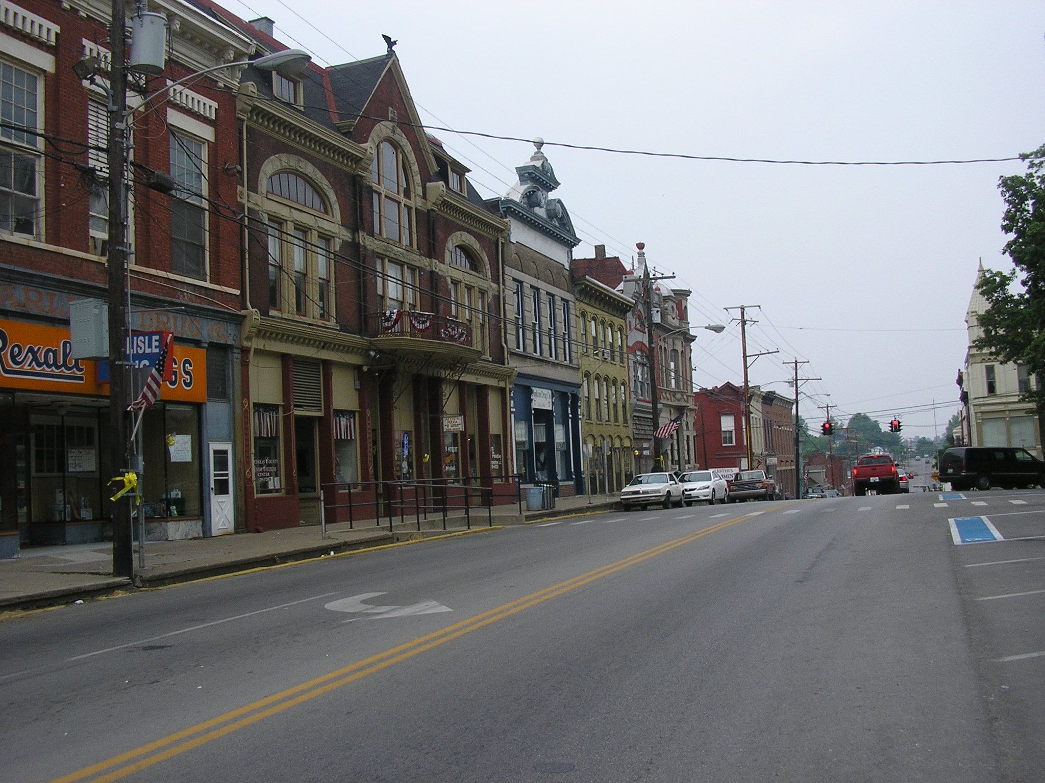
[3] Landmark name Image Date listed Location City or town Summary 1 Carlisle Armory March 24, 2000 378 Main St.
38°18′41″N 84°01′33″W / 38.311389°N 84.025833°WCarlisle 2 Carlisle Historic District 
October 26, 1989 Roughly 2nd, Broadway, North, Archdeacon, Trueman, Chestnut, Walnut, Market, Elm, W. Main, and School Dr.
38°18′52″N 84°01′44″W / 38.314444°N 84.028889°WCarlisle 3 Carlisle Louisville and Nashville Passenger Depot May 18, 1979 Market and Locust Sts.
38°18′41″N 84°01′43″W / 38.311389°N 84.028611°WCarlisle 4 Dinsmore House October 11, 1989 210 S. Elm St.
38°18′41″N 84°01′56″W / 38.311389°N 84.032222°WCarlisle 5 Thomas A. Dorsey Farmhouse September 28, 1989 416 High St.
38°18′37″N 84°01′22″W / 38.310278°N 84.022778°WCarlisle 6 James Ellis Stone Tavern March 16, 1976 U.S. Route 68
38°23′44″N 84°01′04″W / 38.395556°N 84.017778°WEllisville 7 Forest Retreat Farm and Tavern October 2, 1973 Northwest of Carlisle at the junction of U.S. Route 68 and KY 32
38°20′04″N 84°03′39″W / 38.334444°N 84.060833°WCarlisle 8 Thomas Kennedy House September 28, 1989 Eastern Ave. at E. Main St.
38°18′43″N 84°01′11″W / 38.311944°N 84.019722°WCarlisle 9 William Mathers House October 12, 1989 KY 36
38°18′43″N 84°02′36″W / 38.311944°N 84.043333°WCarlisle 10 Erasmus Riggs House June 23, 1983 Off KY 13
38°15′55″N 84°03′14″W / 38.265278°N 84.053889°WCarlisle 11 Stone Barn on Brushy Creek June 23, 1983 U.S. Route 68
38°19′51″N 84°04′04″W / 38.330833°N 84.067778°WCarlisle 12 John Henry Thompson House June 23, 1983 Off KY 32/KY 36
38°20′56″N 84°08′44″W / 38.348889°N 84.145556°WMillersburg See also
- List of National Historic Landmarks in Kentucky
- National Register of Historic Places listings in Kentucky
References
- ^ The latitude and longitude information provided in this table was derived originally from the National Register Information System, which has been found to be fairly accurate for about 99% of listings. For about 1% of NRIS original coordinates, experience has shown that one or both coordinates are typos or otherwise extremely far off; some corrections may have been made. A more subtle problem causes many locations to be off by up to 150 yards, depending on location in the country: most NRIS coordinates were derived from tracing out latitude and longitudes off of USGS topographical quadrant maps created under the North American Datum of 1927, which differs from the current, highly accurate WGS84 GPS system used by Google maps. Chicago is about right, but NRIS longitudes in Washington are higher by about 4.5 seconds, and are lower by about 2.0 seconds in Maine. Latitudes differ by about 1.0 second in Florida. Some locations in this table may have been corrected to current GPS standards.
- ^ "National Register of Historic Places: Weekly List Actions". National Park Service, United States Department of the Interior. Retrieved on November 10, 2011.
- ^ Numbers represent an ordering by significant words. Various colorings, defined here, differentiate National Historic Landmark sites and National Register of Historic Places Districts from other NRHP buildings, structures, sites or objects.
U.S. National Register of Historic Places Topics Lists by states Alabama • Alaska • Arizona • Arkansas • California • Colorado • Connecticut • Delaware • Florida • Georgia • Hawaii • Idaho • Illinois • Indiana • Iowa • Kansas • Kentucky • Louisiana • Maine • Maryland • Massachusetts • Michigan • Minnesota • Mississippi • Missouri • Montana • Nebraska • Nevada • New Hampshire • New Jersey • New Mexico • New York • North Carolina • North Dakota • Ohio • Oklahoma • Oregon • Pennsylvania • Rhode Island • South Carolina • South Dakota • Tennessee • Texas • Utah • Vermont • Virginia • Washington • West Virginia • Wisconsin • WyomingLists by territories Lists by associated states Other Municipalities and communities of Nicholas County, Kentucky City 
Unincorporated
communitiesEast Union | Headquarters | Hooktown | Moorefield | Myers
Categories:- National Register of Historic Places in Kentucky by county
- Nicholas County, Kentucky
-


Wikimedia Foundation. 2010.