- National Register of Historic Places listings in Pulaski County, Kentucky
-
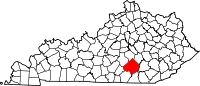
 Location of Pulaski County in Kentucky
This is a list of the National Register of Historic Places listings in Pulaski County, Kentucky. It is intended to be a complete list of the properties and districts on the National Register of Historic Places in Pulaski County, Kentucky, United States. The locations of National Register properties and districts for which the latitude and longitude coordinates are included below, may be seen in a Google map.[1]
There are approximately 40 properties and districts listed on the National Register in the county, 1 of which is a National Historic Landmark.
-
- This National Park Service list is complete through NPS recent listings posted November 10, 2011.[2]
Listings county-wide
[3] Landmark name Image Date listed Location City or town Summary 1 Battle of Dutton's Hill Monument 
July 17, 1997 Old Crab Orchard Rd., 1 mile north of the junction of Routes 39 and 80
37°07′03″N 84°36′14″W / 37.1175°N 84.603889°WSomerset 2 Battle of Mill Springs Historic Areas 
February 18, 1993 Three discontiguous areas: one south of Nancy, one in Mill Springs, and one to the north across the Cumberland River
37°00′19″N 84°45′28″W / 37.005278°N 84.757778°WNancy 3 Beatty-Newell House August 16, 1985 Off Route 90
36°59′07″N 84°36′56″W / 36.985278°N 84.615556°WBronston 4 Boland House August 14, 1984 Lakeshore Dr.
36°59′27″N 84°36′19″W / 36.990833°N 84.605278°WBurnside 5 Buck-Mercer House August 14, 1984 Waynesburg Rd.
37°14′02″N 84°35′04″W / 37.233889°N 84.584444°WSomerset 6 Burnside Historic District August 14, 1984 Lakeshore Dr. and French Ave.
36°59′13″N 84°36′12″W / 36.986944°N 84.603333°WBurnside 7 Burnside Lodge August 14, 1984 Off U.S. Route 27
36°58′44″N 84°36′03″W / 36.978889°N 84.600833°WBurnside 8 Burnside Methodist Church August 16, 1985 Off U.S. Route 27
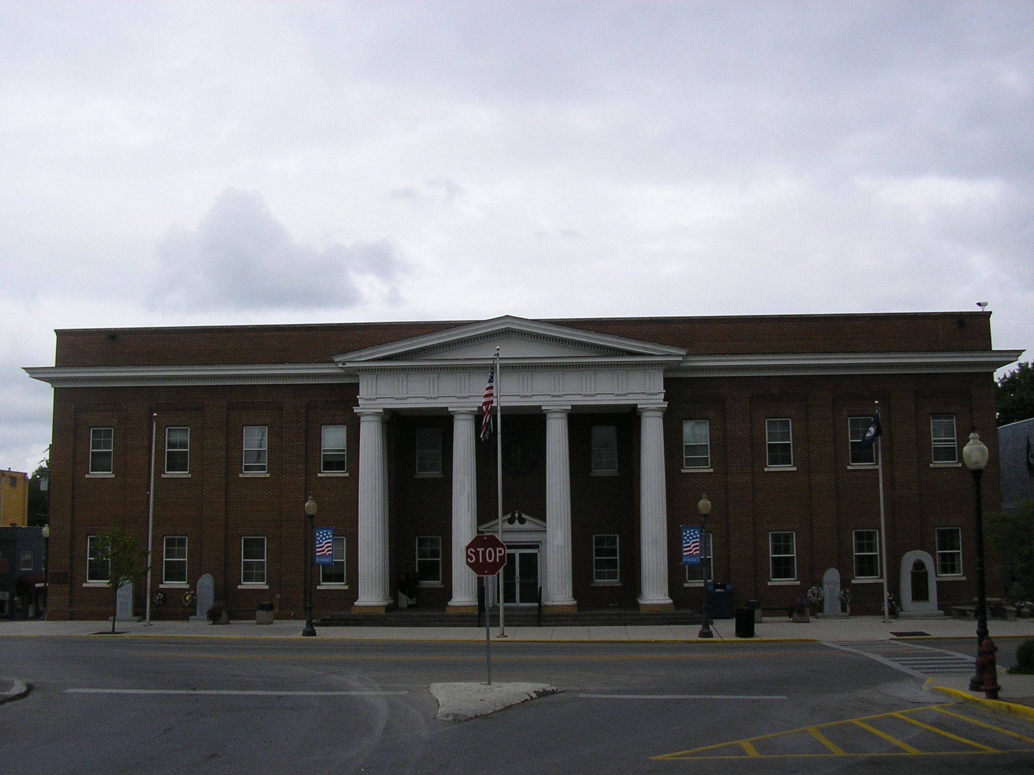
36°59′12″N 84°36′03″W / 36.986667°N 84.600833°WBurnside 9 City Hall August 14, 1984 400 E. Mt. Vernon St.
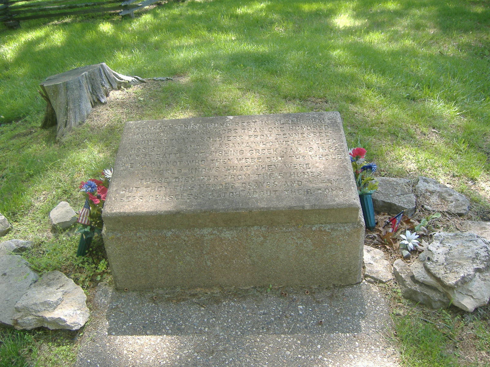
37°05′36″N 84°35′40″W / 37.093333°N 84.594444°WSomerset 10 Confederate Mass Grave Monument in Somerset 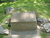
July 17, 1997 Zollicoffer Park Cemetery, 0.3 miles south of the junction of Routes 235 and 761
37°03′20″N 84°44′22″W / 37.055556°N 84.739444°WSomerset 11 Crawford House August 14, 1984 121 Maple St.
37°05′38″N 84°36′20″W / 37.093889°N 84.605556°WSomerset 12 A. Jackson Crawford Building August 18, 1980 207 S. Main St.
37°05′25″N 84°36′15″W / 37.090278°N 84.604167°WSomerset 13 Dabney Post Office August 14, 1984 Route 39
37°10′57″N 84°33′00″W / 37.1825°N 84.55°WDabney 14 Evans House August 16, 1985 Route 461
37°12′10″N 84°27′40″W / 37.202778°N 84.461111°WShopville 15 William Fox House July 31, 1978 206 W. Columbia St.
37°05′33″N 84°36′27″W / 37.0925°N 84.6075°WSomerset 16 Gover-Hardin House July 11, 2007 307 W. Mt. Vernon St.
37°05′29″N 84°36′28″W / 37.091389°N 84.607778°WSomerset 17 Harvey's Hill Historic District August 14, 1984 401-527 N. Main St., and 402-526 N. Main St.
37°05′52″N 84°36′29″W / 37.097778°N 84.608056°WSomerset 18 Hotel Beecher August 14, 1984 203 S. Main St.
37°05′25″N 84°36′22″W / 37.090278°N 84.606111°WSomerset 19 James-Hansford House August 16, 1985 On Route 80
37°09′29″N 84°28′40″W / 37.158056°N 84.477778°WShopville 20 James-Owens House August 16, 1985 Off Route 80
37°09′05″N 84°28′45″W / 37.151389°N 84.479167°WShopville 21 Mill Springs National Cemetery 
May 29, 1998 9044 W. Route 80
37°04′06″N 84°44′14″W / 37.068333°N 84.737222°WNancy 22 Morrow House August 14, 1984 208 E. Oak St.
37°05′44″N 84°36′19″W / 37.095556°N 84.605278°WSomerset 23 North Main Street Historic District August 14, 1984 N. Main and Columbia Sts.
37°05′33″N 84°36′23″W / 37.0925°N 84.606389°WSomerset 24 Parker House August 14, 1984 206 N. Vine St.
37°05′34″N 84°36′29″W / 37.092778°N 84.608056°WSomerset 25 Payne House August 16, 1985 Off Route 1247
37°16′51″N 84°39′35″W / 37.280833°N 84.659722°WEubank 26 Payne Mill August 14, 1984 Off Route 1247
37°16′51″N 84°39′35″W / 37.280833°N 84.659722°WEubank 27 Dr. John Milton Perkins House August 10, 1978 109 N. Main St.
37°05′36″N 84°36′18″W / 37.093333°N 84.605°WSomerset 28 Robinson Mill August 14, 1984 S. Main St.
37°04′55″N 84°36′41″W / 37.081944°N 84.611389°WSomerset 29 Dill Scott House August 14, 1984 200 N. Main St.
37°05′39″N 84°36′27″W / 37.094167°N 84.6075°WSomerset 30 Smith House August 14, 1984 200 N. College St.
37°05′41″N 84°36′14″W / 37.094722°N 84.603889°WSomerset 31 Beecher Smith House August 14, 1984 405 College St.
37°05′53″N 84°36′15″W / 37.098056°N 84.604167°WSomerset 32 Somerset Armory September 6, 2002 109 Grand Ave.
37°05′37″N 84°35′50″W / 37.093611°N 84.597222°WSomerset 33 Somerset City School and Carnegie Library July 7, 1978 300 College St.
37°05′45″N 84°36′06″W / 37.095833°N 84.601667°WSomerset 34 Somerset Downtown Commercial District August 27, 1982 108-236 and 201-223 E. Mt. Vernon St.
37°05′32″N 84°36′12″W / 37.092222°N 84.603333°WSomerset 35 South Courthouse Square Historic District 
August 14, 1984 Public Sq., Zachary Way, W. Mt. Vernon, S. Main, and S. Maple Sts.
37°05′29″N 84°36′23″W / 37.091389°N 84.606389°WSomerset 36 US Post Office-Bronston August 16, 1985 Route 790
36°59′09″N 84°37′04″W / 36.985833°N 84.617778°WBronston 37 Waddle-Prather House August 14, 1984 311 N. College St.
37°05′51″N 84°36′14″W / 37.0975°N 84.603889°WSomerset 38 West Columbia Street District August 14, 1984 201-303 W. Columbia St.
37°05′32″N 84°36′33″W / 37.092222°N 84.609167°WSomerset 39 Withers House August 14, 1984 116 Maple St.
37°05′37″N 84°36′21″W / 37.093611°N 84.605833°WSomerset 40 Gen. Felix K. Zollicoffer Monument 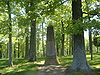
July 17, 1997 Zollicoffer Park Cemetery, 0.3 miles south of the junction of Routes 235 and 761
37°03′20″N 84°44′22″W / 37.055556°N 84.739444°WNancy See also
- List of National Historic Landmarks in Kentucky
- National Register of Historic Places listings in Kentucky
References
- ^ The latitude and longitude information provided in this table was derived originally from the National Register Information System, which has been found to be fairly accurate for about 99% of listings. For about 1% of NRIS original coordinates, experience has shown that one or both coordinates are typos or otherwise extremely far off; some corrections may have been made. A more subtle problem causes many locations to be off by up to 150 yards, depending on location in the country: most NRIS coordinates were derived from tracing out latitude and longitudes off of USGS topographical quadrant maps created under North American Datum of 1927, which differs from the current, highly accurate GPS system used by Google maps. Chicago is about right, but NRIS longitudes in Washington are higher by about 4.5 seconds, and are lower by about 2.0 seconds in Maine. Latitudes differ by about 1.0 second in Florida. Some locations in this table may have been corrected to current GPS standards.
- ^ "National Register of Historic Places: Weekly List Actions". National Park Service, United States Department of the Interior. Retrieved on November 10, 2011.
- ^ Numbers represent an ordering by significant words. Various colorings, defined here, differentiate National Historic Landmark sites and National Register of Historic Places Districts from other NRHP buildings, structures, sites or objects.
U.S. National Register of Historic Places Topics Lists by states Alabama • Alaska • Arizona • Arkansas • California • Colorado • Connecticut • Delaware • Florida • Georgia • Hawaii • Idaho • Illinois • Indiana • Iowa • Kansas • Kentucky • Louisiana • Maine • Maryland • Massachusetts • Michigan • Minnesota • Mississippi • Missouri • Montana • Nebraska • Nevada • New Hampshire • New Jersey • New Mexico • New York • North Carolina • North Dakota • Ohio • Oklahoma • Oregon • Pennsylvania • Rhode Island • South Carolina • South Dakota • Tennessee • Texas • Utah • Vermont • Virginia • Washington • West Virginia • Wisconsin • WyomingLists by territories Lists by associated states Other  Category:National Register of Historic Places •
  Portal:National Register of Historic Places
Municipalities and communities of Pulaski County, Kentucky County seat: Somerset Cities Burnside | Eubank | Ferguson | Science Hill | Somerset
Unincorporated
communitiesCategories:- National Register of Historic Places in Kentucky by county
- Pulaski County, Kentucky
-


Wikimedia Foundation. 2010.