- National Register of Historic Places listings in Boone County, Kentucky
-
 Location of Boone County in Kentucky
This is a list of the National Register of Historic Places listings in Boone County, Kentucky.
This is intended to be a complete list of the properties and districts on the National Register of Historic Places in Boone County, Kentucky, United States. The locations of National Register properties and districts for which the latitude and longitude coordinates are included below, may be seen in a Google map.[1]
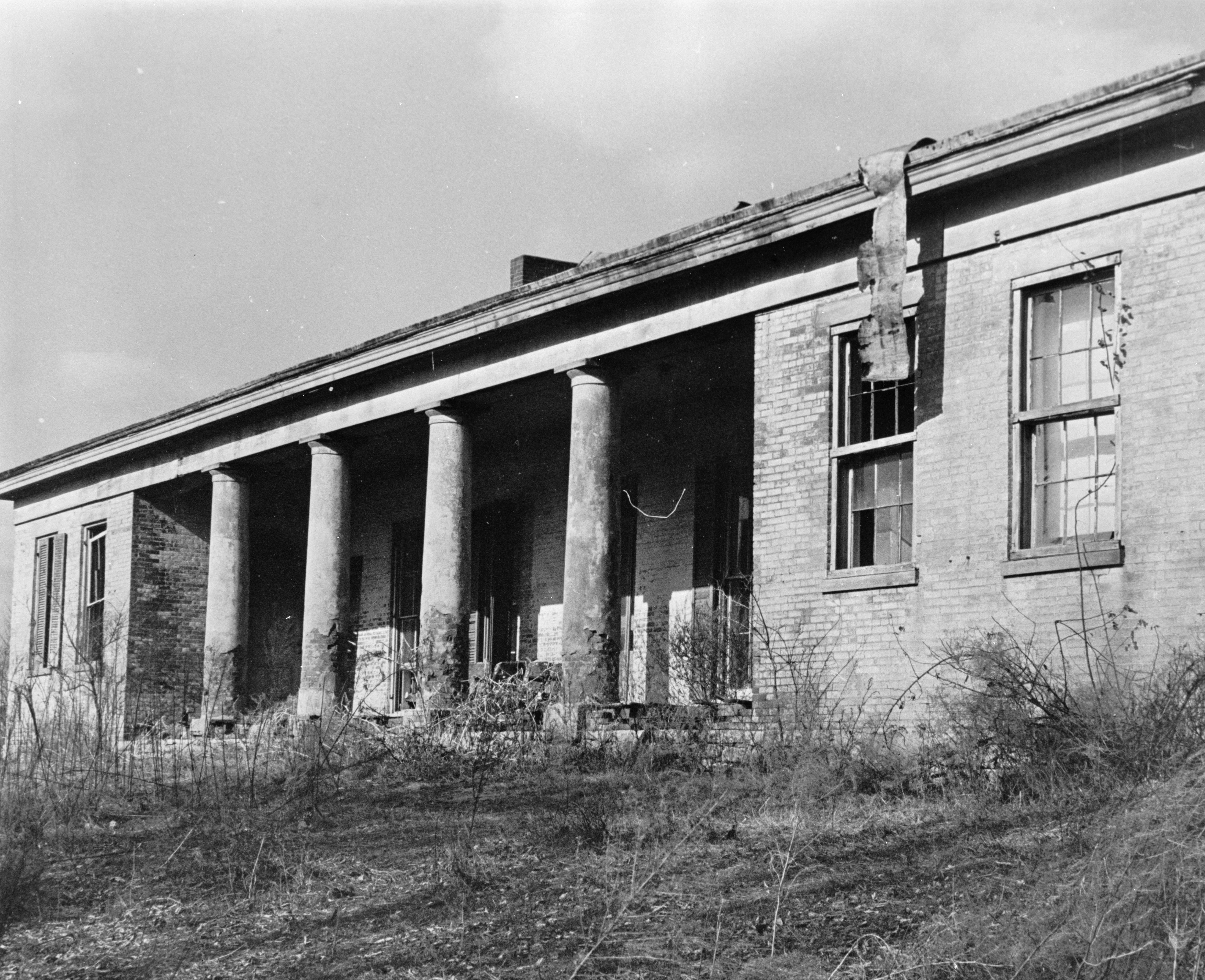
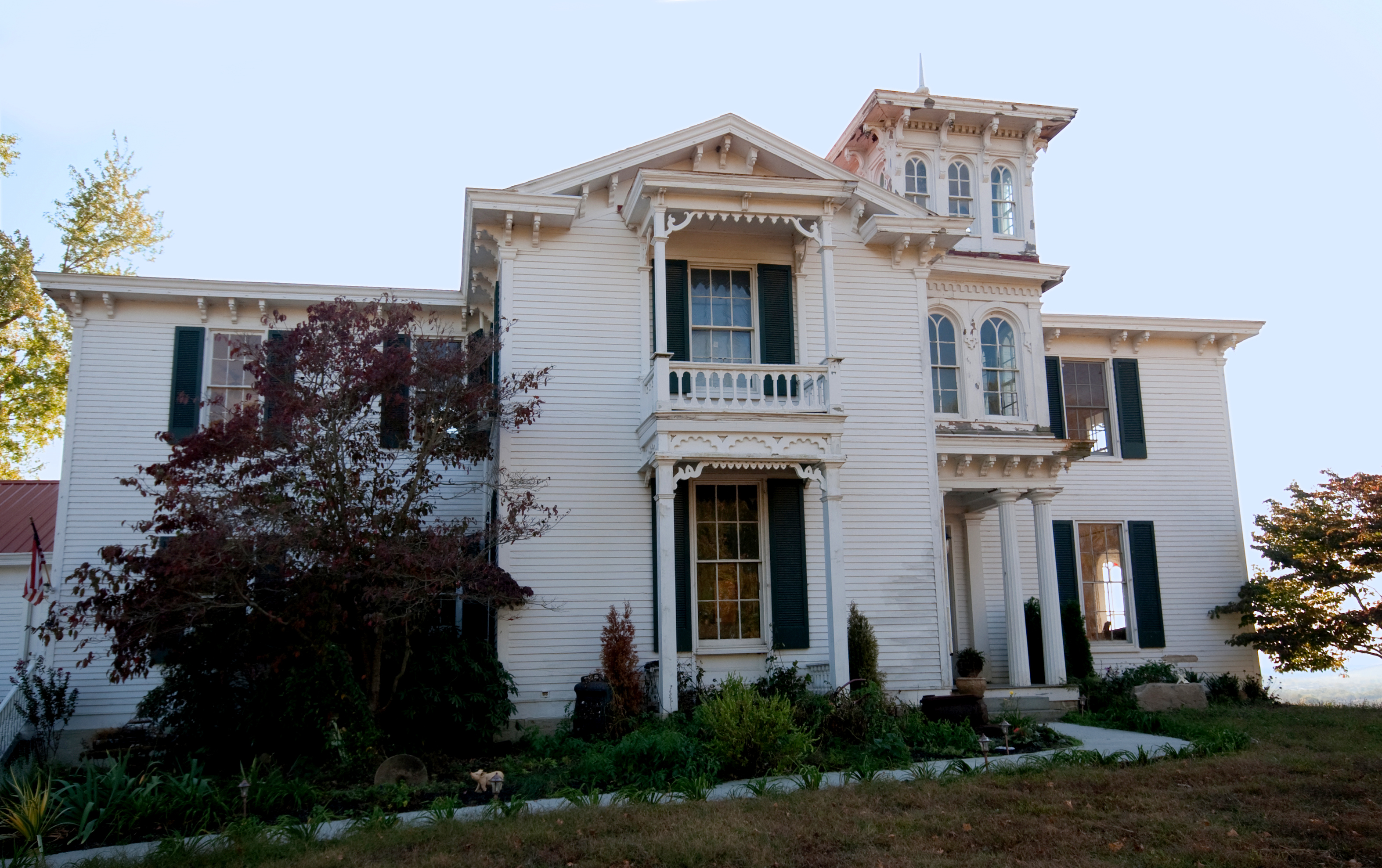
There are 104 properties and districts listed on the National Register in the county.
-
- This National Park Service list is complete through NPS recent listings posted November 10, 2011.[2]
Current listings
[3] Landmark name Image Date listed Location City or town Summary 1 B. M. Allen House February 6, 1989 11301 Riddles Run Rd.
38°54′52″N 84°48′00″W / 38.914444°N 84.8°WUnion 2 Anderson Ferry June 10, 1982 Off U.S. Route 50
39°04′35″N 84°37′28″W / 39.076389°N 84.624444°WConstance 3 Archaeological Site 15 BE 36 August 18, 1983 Address Restricted Union 4 A. J. Aylor House February 6, 1989 2162 Petersburg Rd.
39°04′00″N 84°42′34″W / 39.066667°N 84.709444°WHebron 5 Donald Barger House 
February 6, 1989 2972 Front St.
39°04′14″N 84°52′02″W / 39.070556°N 84.867222°WPetersburg 6 Bedinger Site March 24, 2000 Address Restricted Walton 7 Belleview Baptist Church February 6, 1989 6658 5th St.
38°59′09″N 84°49′35″W / 38.985833°N 84.826389°WBelleview 8 Belleview Post Office June 14, 1990 6256 Main St.
38°59′09″N 84°49′35″W / 38.985833°N 84.826389°WBelleview 9 Big Bone Lick Archeological District August 22, 2002 Along Big Bone Creek
38°52′58″N 84°44′59″W / 38.882778°N 84.749722°WUnion 10 Big Bone Lick State Park June 13, 1972 Route 1
38°53′10″N 84°45′15″W / 38.886111°N 84.754167°WUnion 11 Big Bone Methodist Church 
February 6, 1989 3435 Beaver Rd.
38°53′19″N 84°45′04″W / 38.888611°N 84.751111°WUnion 12 Blankenbecker-Riley Farm December 3, 2002 2788 Hathaway Rd.
38°57′11″N 84°42′49″W / 38.953056°N 84.713611°WUnion 13 Clinton Blankenbeker House February 6, 1989 7414 U.S. Route 42
38°59′47″N 84°37′52″W / 38.996389°N 84.631111°WFlorence 14 Nicholas S. and Gertrude E. Blau House November 25, 2005 15 Alta Vista Ave.
38°51′58″N 84°36′49″W / 38.866111°N 84.613611°WWalton 15 Boone County Distillery Superintendent's House and Guest House 
February 6, 1989 3073 Front St.
39°04′10″N 84°52′15″W / 39.069444°N 84.870833°WPetersburg 16 Botts House February 6, 1989 4752 Petersburg Rd.
39°04′37″N 84°48′11″W / 39.076944°N 84.803056°WBurlington 17 Burlington Historic District 
June 19, 1979 Kentucky Route 18; also portions of Washington, Gallative, Perlate, Temperate, Garrard, Jefferson, and Ohio Sts., Nicholas Ave., and Union Sq.
39°01′43″N 84°43′27″W / 39.028611°N 84.724167°WBurlington Second set of boundaries represents a boundary increase of August 3, 2005 18 B. C. Calvert House February 6, 1989 10246 Lower River Rd.
38°56′26″N 84°50′47″W / 38.940556°N 84.846389°WUnion 19 Jonathan Carlton House 
November 10, 1982 Market St.
39°04′11″N 84°52′03″W / 39.069722°N 84.8675°WPetersburg 20 Robert Chamber House August 24, 2000 118 Chambers Rd.
38°53′21″N 84°36′32″W / 38.889167°N 84.608889°WWalton 21 A. E. Chambers Octagonal Barn February 7, 1989 5009 Petersburg Rd.
39°04′08″N 84°48′51″W / 39.068889°N 84.814167°WPetersburg 22 C. Scott Chambers House and Funeral Parlor August 24, 2000 111 N. Main St.
38°52′14″N 84°36′50″W / 38.870556°N 84.613889°WWalton 23 Robert Chambers House October 10, 1975 301 E. Bend Rd.
39°01′12″N 84°43′30″W / 39.02°N 84.725°WBurlington 24 Chandler House February 6, 1989 167 S. Main St.
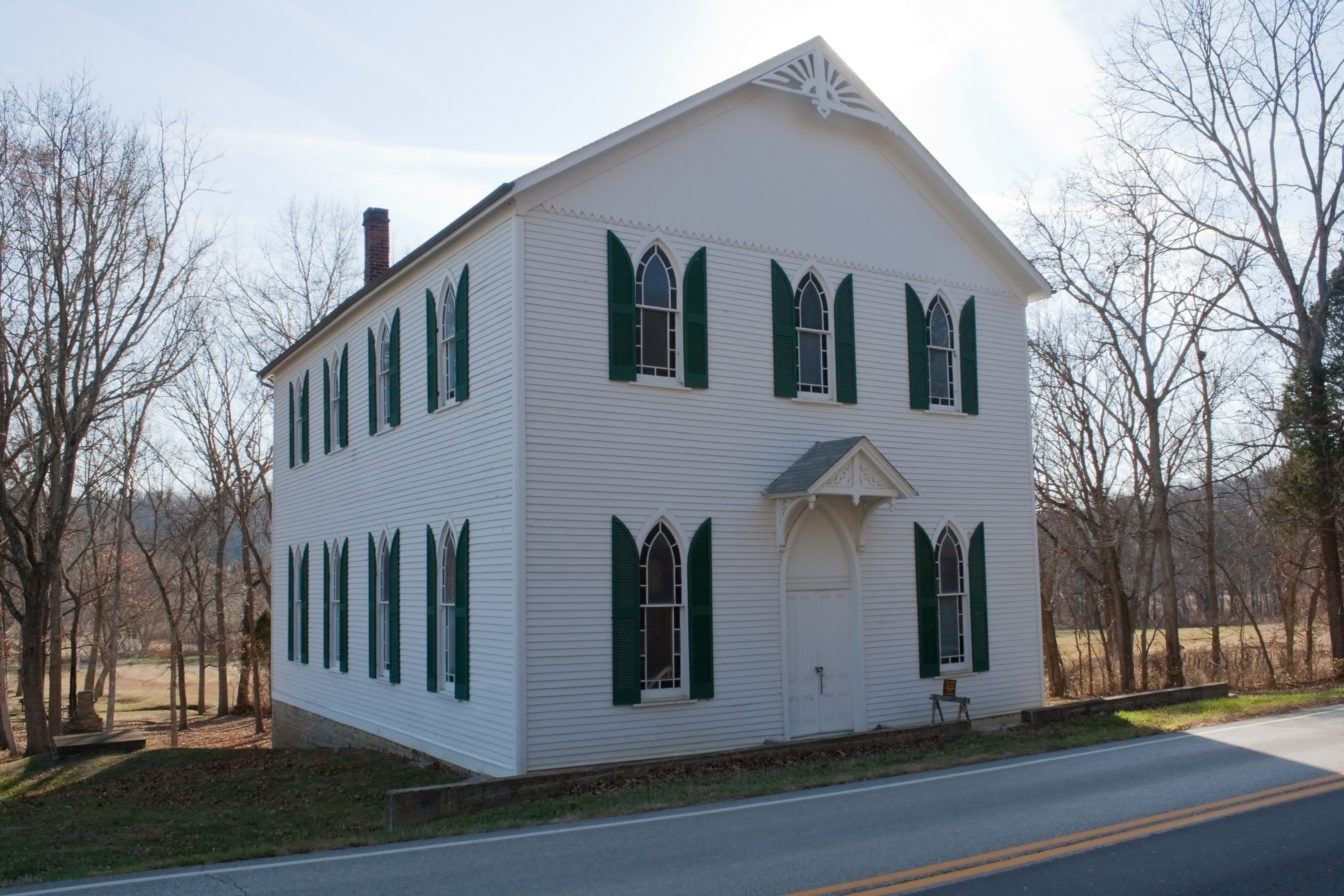
38°51′19″N 84°36′20″W / 38.855278°N 84.605556°WWalton 25 Christian Meeting House 
February 6, 1989 6561 Tanner St.
39°04′07″N 84°52′06″W / 39.068611°N 84.868333°WPetersburg 26 Clore House February 6, 1989 6001 Burlington Pike
38°59′37″N 84°49′27″W / 38.993611°N 84.824167°WBelleview 27 Jonas Clore House February 6, 1989 6256 Main St.
38°59′09″N 84°49′35″W / 38.985833°N 84.826389°WBelleview 28 Jonas Clore Log House August 24, 2000 9293 E. Bend Rd.
38°57′53″N 84°48′03″W / 38.964722°N 84.800833°WBurlington 29 Code House November 25, 2005 965 Beaver Rd.
38°52′28″N 84°38′59″W / 38.874444°N 84.649722°WWalton 30 Capt. N. Collins House District February 6, 1989 6255 Aurora Ferry Rd.
39°03′15″N 84°53′22″W / 39.054167°N 84.889444°WPetersburg 31 Allie Corn House February 6, 1989 2807 Graves Rd.
39°04′34″N 84°44′16″W / 39.076111°N 84.737778°WHebron 32 Crisler-Crisler Mounds Site April 11, 2002 Address Restricted Hebron 33 Dr. M. J. Crouch House February 6, 1989 2063 Hathaway Rd.
38°56′38″N 84°41′06″W / 38.943889°N 84.685°WUnion 34 John Delehunty House February 6, 1989 212 Main St.
39°00′12″N 84°37′22″W / 39.003333°N 84.622778°WFlorence 35 Sam Delph House February 6, 1989 4633 Garrison Creek Rd.
39°05′45″N 84°47′47″W / 39.095833°N 84.796389°WPetersburg 36 W. T. Delph House February 6, 1989 6180 Rogers Ln.
39°01′25″N 84°43′11″W / 39.023611°N 84.719722°WBurlington 37 Daniel Dew House 
February 6, 1989 2950 3rd St.
39°04′08″N 84°51′53″W / 39.068889°N 84.864722°WPetersburg 38 Dinsmore House March 28, 1979 West of Burlington on Kentucky Route 18
39°00′03″N 84°48′49″W / 39.000833°N 84.813611°WBurlington 39 Early House February 6, 1989 2970 1st St.
39°04′11″N 84°51′53″W / 39.069722°N 84.864722°WPetersburg 40 East Bend Church February 6, 1989 12341 Lower River Rd.
38°55′09″N 84°51′31″W / 38.919167°N 84.858611°WUnion 41 Edwards House February 7, 1989 143 S. Main St.
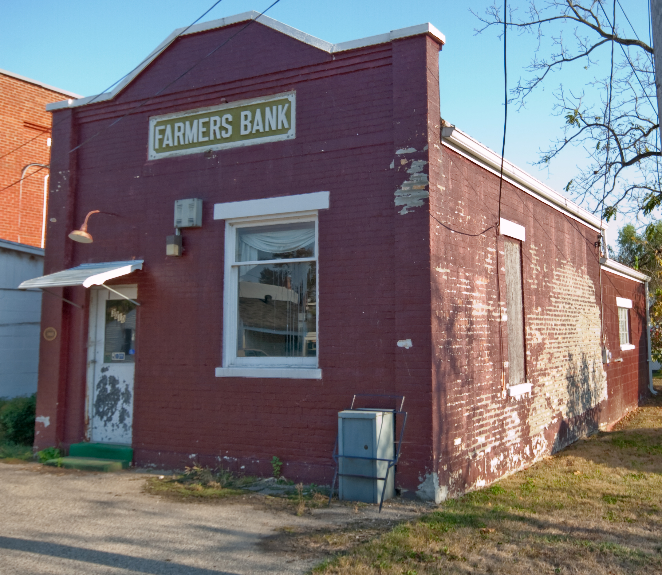
38°51′23″N 84°36′27″W / 38.856389°N 84.6075°WWalton 42 Farmers Bank of Petersburg 
February 6, 1989 3010 1st St.
39°04′09″N 84°52′05″W / 39.069167°N 84.868056°WPetersburg 43 Flick House February 6, 1989 6282 Burlington Pike
38°59′13″N 84°49′38″W / 38.986944°N 84.827222°WBelleview 44 Florence Fire Station February 6, 1989 Main St.
39°00′04″N 84°37′37″W / 39.001111°N 84.626944°WFlorence 45 Florence Hotel February 6, 1989 262 Main St.
39°00′06″N 84°37′37″W / 39.001667°N 84.626944°WFlorence 46 Benjamin Piatt Fowler House October 29, 1982 North of Union on U.S. Route 40
38°57′36″N 84°40′54″W / 38.96°N 84.681667°WUnion 47 Benjamin R. Gaines Farm February 6, 1989 3895 Idlewild Rd.
39°03′31″N 84°46′51″W / 39.058611°N 84.780833°WBurlington 48 Col. Abner Gaines House April 10, 1980 North of Walton at 84 Old Lexington Pike
38°53′03″N 84°36′30″W / 38.884167°N 84.608333°WWalton Boundary increase (listed February 4, 2010): Address restricted 49 George-Vest House August 24, 2000 13815 Walton-Verona Rd.
38°50′34″N 84°38′25″W / 38.842778°N 84.640278°WVerona 50 William Milburn Glore House December 3, 2002 11682 Big Bone-Union Rd.
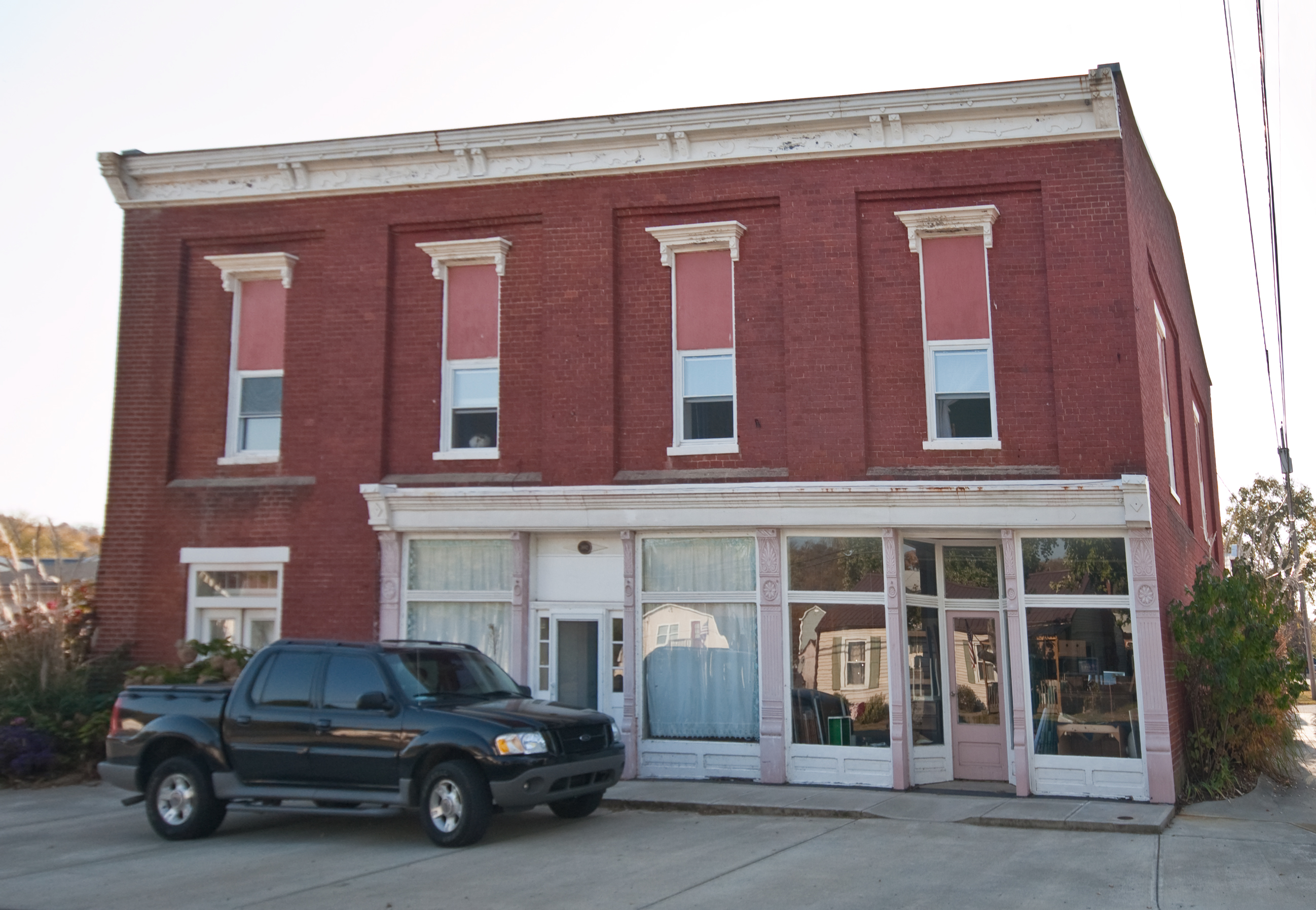
38°53′56″N 84°44′08″W / 38.898889°N 84.735556°WUnion 51 Virginia Corey Goodridge House August 24, 2000 259 Main St.
39°00′06″N 84°37′36″W / 39.001556°N 84.626803°WFlorence 52 Gordon's Hall 
February 6, 1989 6561 Market St.
39°04′09″N 84°52′04″W / 39.069167°N 84.867778°WPetersburg 53 M. B. Green Site March 26, 2008 Address Restricted Petersburg 54 Peter Gregory House August 24, 2000 5063 Beaver Rd.
38°54′06″N 84°48′13″W / 38.901667°N 84.803611°WUnion 55 Hamilton School February 6, 1989 4837 Beaver Rd.
38°54′04″N 84°47′46″W / 38.901111°N 84.796111°WUnion 56 Hebron Deposit Bank February 6, 1989 1871 Petersburg Rd.
39°03′56″N 84°41′52″W / 39.065556°N 84.697778°WHebron 57 Harvey A. Hicks House February 6, 1989 1325 Hicks Pike
38°54′38″N 84°39′43″W / 38.910556°N 84.661944°WWalton 58 Samuel Hind House June 14, 1990 417 Stephenson Mill Rd.
38°51′17″N 84°38′04″W / 38.854722°N 84.634444°WWalton 59 Hopeful Lutheran Church February 6, 1989 6431 Hopeful Rd.
38°59′58″N 84°39′33″W / 38.999444°N 84.659167°WFlorence 60 Agnes Horton House 
February 6, 1989 2901 2nd St.
39°04′14″N 84°51′48″W / 39.070556°N 84.863333°WPetersburg 61 Hudson House February 6, 1989 12328 Gaines Way
38°53′15″N 84°37′55″W / 38.8875°N 84.631944°WWalton 62 D. W. Huey House February 6, 1989 7812 East Bend Rd.
38°58′40″N 84°44′20″W / 38.977778°N 84.738889°WBurlington 63 Thomas Huey Farm August 24, 2000 10492 Big Bone Rd.
38°55′44″N 84°43′20″W / 38.928889°N 84.722222°WUnion 64 Hughes House February 6, 1989 771 Chambers Rd.
38°53′38″N 84°38′43″W / 38.893889°N 84.645278°WWalton 65 Jenkins-Berkshire House August 24, 2000 6529 Mill St.
39°03′59″N 84°52′18″W / 39.066389°N 84.871667°WPetersburg 66 Cave Johnson House February 6, 1989 8368 River Rd.
39°08′23″N 84°44′23″W / 39.139722°N 84.739722°WHebron 67 Kirtley House February 9, 1989 2451 Second Creek Rd.
39°04′44″N 84°49′46″W / 39.078889°N 84.829444°WPetersburg 68 Rev. Robert E. Kirtley House February 6, 1989 8545 River Rd.
39°07′52″N 84°44′54″W / 39.131111°N 84.748333°WHebron 69 Morris Lassing House June 14, 1990 10515 U.S. Route 42
38°55′40″N 84°40′37″W / 38.927778°N 84.676944°WUnion 70 Loder House 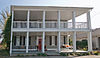
February 6, 1989 3028 Front St.
39°04′10″N 84°52′08″W / 39.069444°N 84.868889°WPetersburg 71 Maplewood March 24, 2000 Address Restricted Walton 72 John Clifton and Ann Catherine Mayhugh House November 25, 2005 133 N. Main St.
38°52′19″N 84°36′48″W / 38.871944°N 84.613333°WWalton 73 John Clifton Mayhugh House February 6, 1989 113 N. Main St.
38°52′15″N 84°36′50″W / 38.870833°N 84.613889°WWalton 74 W. F. and Florence McKim House November 25, 2005 6031 S. Orient St.
39°01′33″N 84°43′17″W / 39.025833°N 84.721389°WBurlington 75 Frank S. Milburn Machine Shop November 25, 2005 5844 N. Orient St.
39°02′00″N 84°43′13″W / 39.033333°N 84.720278°WBurlington 76 M. Miller House February 6, 1989 3805 Beaver Rd.
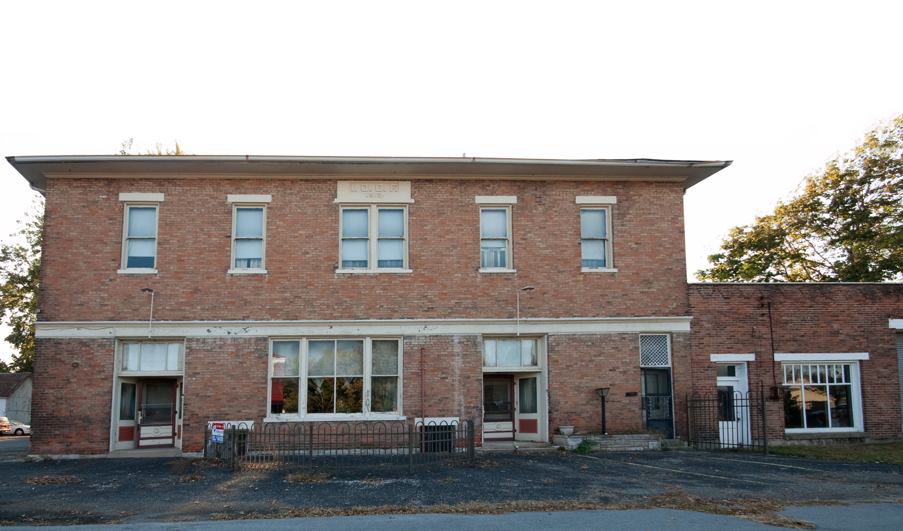
38°53′25″N 84°45′56″W / 38.890278°N 84.765556°WUnion 77 John Moore House March 29, 1978 6 miles (9.6 km) northwest of Francisville
39°06′55″N 84°46′35″W / 39.115278°N 84.776389°WFrancisville 78 L. C. Norman House February 6, 1989 1966 Mt. Zion Rd.
38°56′46″N 84°40′48″W / 38.946111°N 84.68°WUnion 79 Richard Parker House February 6, 1989 4312 Belleview Rd.
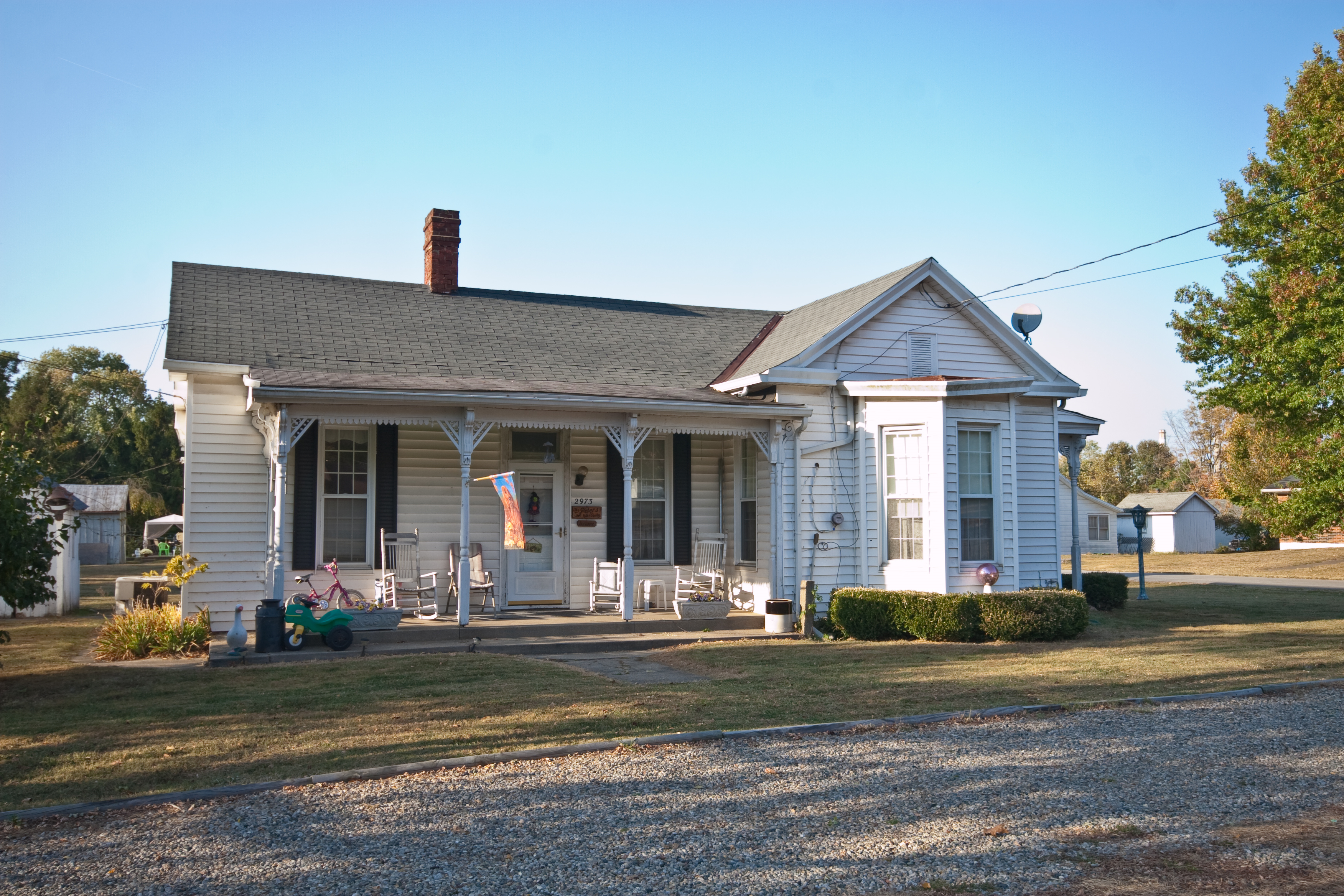
39°02′16″N 84°51′50″W / 39.037778°N 84.863889°WPetersburg 80 Peters House 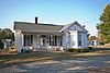
February 6, 1989 2973 3rd St.
39°04′06″N 84°51′50″W / 39.068333°N 84.863889°WPetersburg 81 Piatt's Landing 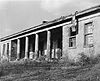
July 18, 1974 South of Burlington off Kentucky Route 338
38°54′05″N 84°51′33″W / 38.901389°N 84.859167°WBurlington 82 Prospect Farm 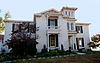
February 6, 1989 6279 Petersburg Rd.
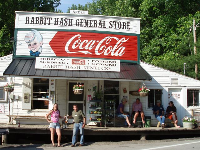
39°03′47″N 84°51′47″W / 39.063056°N 84.863056°WPetersburg 83 Rabbit Hash General Store 
February 6, 1989 10021 Lower River Rd.
38°56′32″N 84°50′46″W / 38.942222°N 84.846111°WRabbit Hash 84 Rabbit Hash Historic District December 4, 2003 10021-10410 Lower River Rd.
38°56′29″N 84°51′02″W / 38.941389°N 84.850556°WRabbit Hash 85 Ransom House February 6, 1989 1842 Messmer Rd.
38°48′28″N 84°38′51″W / 38.807778°N 84.6475°WCrittenden 86 Reeves Mound August 3, 1990 Address Restricted Stringtown 87 Rogers Site October 31, 1983 Address Restricted Petersburg 88 Boone Fowler Rogers Barn August 24, 2000 5394 Belleview Rd.
39°01′01″N 84°49′49″W / 39.016944°N 84.830278°WPetersburg 89 James Rogers House February 6, 1989 6259 Sycamore St.
38°59′07″N 84°49′30″W / 38.985278°N 84.825°WBelleview 90 Henry and Agnes Rolsen House November 25, 2005 3044 Dry Creek Rd.
39°04′24″N 84°38′21″W / 39.073333°N 84.639167°WConstance 91 Dr. Gladys Rouse Office and House November 25, 2005 221 Main St.
39°00′11″N 84°37′26″W / 39.003056°N 84.623889°WFlorence 92 Ryle's Super Market and Oddfellows Building 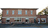
February 6, 1989 6571 Tanner St.
39°04′08″N 84°52′14″W / 39.068889°N 84.870556°WPetersburg 93 South Main Street Historic District March 17, 2005 Roughly along Main St. between Edwards and Oreco Sts.
38°51′25″N 84°36′55″W / 38.856944°N 84.615278°WWalton 94 Abe Souther House January 8, 1987 Off Kentucky Route 237
39°05′55″N 84°42′27″W / 39.098611°N 84.7075°WFrancisville 95 J. Q. A. Stephens House November 25, 2005 5572 Rabbit Hash Rd.
38°56′14″N 84°48′13″W / 38.937222°N 84.803611°WUnion 96 Dr. John E. Stevenson House August 24, 2000 3422 Beaver Rd.
38°53′20″N 84°45′03″W / 38.888889°N 84.750833°WUnion 97 John Tanner House January 8, 1987 Kentucky Route 20
39°03′54″N 84°51′52″W / 39.065°N 84.864444°WPetersburg 98 George W. Terrill House February 6, 1989 6002 Petersburg Rd.
39°03′50″N 84°51′02″W / 39.063889°N 84.850556°WPetersburg 99 John G. Tomlin House November 25, 2005 109 N. Main St.
38°52′13″N 84°36′50″W / 38.870278°N 84.613889°WWalton 100 Ephraim Uitz House June 14, 1990 5208 Bullitssville Rd.
39°02′31″N 84°43′08″W / 39.041944°N 84.718889°WBurlington 101 Verona High School December 3, 2002 14923 Walton-Verona Rd.
38°49′09″N 84°39′27″W / 38.819167°N 84.6575°WVerona 102 Wallace House February 6, 1989 67 S. Main St.
38°51′34″N 84°36′36″W / 38.859444°N 84.61°WWalton 103 Watts House January 8, 1987 Williams Rd.
39°05′49″N 84°45′03″W / 39.096944°N 84.750833°WBullittsville 104 Wingate-Gaines Farm District February 7, 1989 5225 Whitton Rd.
39°02′54″N 84°49′18″W / 39.048333°N 84.821667°WPetersburg See also
- List of National Historic Landmarks in Kentucky
- National Register of Historic Places listings in Kentucky
References
- ^ The latitude and longitude information provided in this table was derived originally from the National Register Information System, which has been found to be fairly accurate for about 99% of listings. For about 1% of NRIS original coordinates, experience has shown that one or both coordinates are typos or otherwise extremely far off; some corrections may have been made. A more subtle problem causes many locations to be off by up to 150 yards, depending on location in the country: most NRIS coordinates were derived from tracing out latitude and longitudes off of USGS topographical quadrant maps created under North American Datum of 1927, which differs from the current, highly accurate GPS system used by Google maps. Chicago is about right, but NRIS longitudes in Washington are higher by about 4.5 seconds, and are lower by about 2.0 seconds in Maine. Latitudes differ by about 1.0 second in Florida. Some locations in this table may have been corrected to current GPS standards.
- ^ "National Register of Historic Places: Weekly List Actions". National Park Service, United States Department of the Interior. Retrieved on November 10, 2011.
- ^ Numbers represent an ordering by significant words. Various colorings, defined here, differentiate National Historic Landmark sites and National Register of Historic Places Districts from other NRHP buildings, structures, sites or objects.
U.S. National Register of Historic Places Topics Lists by states Alabama • Alaska • Arizona • Arkansas • California • Colorado • Connecticut • Delaware • Florida • Georgia • Hawaii • Idaho • Illinois • Indiana • Iowa • Kansas • Kentucky • Louisiana • Maine • Maryland • Massachusetts • Michigan • Minnesota • Mississippi • Missouri • Montana • Nebraska • Nevada • New Hampshire • New Jersey • New Mexico • New York • North Carolina • North Dakota • Ohio • Oklahoma • Oregon • Pennsylvania • Rhode Island • South Carolina • South Dakota • Tennessee • Texas • Utah • Vermont • Virginia • Washington • West Virginia • Wisconsin • WyomingLists by territories Lists by associated states Other Municipalities and communities of Boone County, Kentucky Cities 
CDPs Communities Beaverlick | Big Bone | Hamilton | Hebron | Idlewild | Petersburg | Rabbit Hash
Categories:- National Register of Historic Places in Kentucky by county
- Boone County, Kentucky
-


Wikimedia Foundation. 2010.