- National Register of Historic Places listings in Boone County, Iowa
-
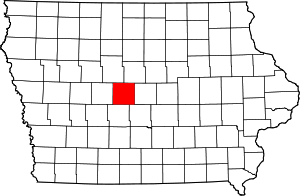 Location of Boone County in Iowa
This is a list of the National Register of Historic Places listings in Boone County, Iowa.
This is intended to be a complete list of the properties and districts on the National Register of Historic Places in Boone County, Iowa, United States. Latitude and longitude coordinates are provided for many National Register properties and districts; these locations may be seen together in a Google map.[1]
There are 18 properties listed on the National Register in the county.
-
- This National Park Service list is complete through NPS recent listings posted November 10, 2011.[2]
[3] Landmark name [4] Image Date listed Location City or town Summary 1 Alonzo J. and Flora Barkley House July 21, 1995 326 Boone St.
42°03′32″N 93°52′51″W / 42.058889°N 93.880833°WBoone 2 Beaver Creek Bridge June 25, 1998 210th St. over Beaver Creek
42°02′34″N 94°08′41″W / 42.042778°N 94.144722°WOgden 3 Big Creek Bridge June 25, 1998 2110 300th St. over Big Creek
41°53′33″N 93°45′01″W / 41.8925°N 93.750278°WMadrid 4 Big Creek Bridge 2 June 25, 1998 2130 320th St. over Big Creek
41°53′33″N 93°45′02″W / 41.8925°N 93.750556°WMadrid 5 Boone Bridge June 25, 1998 Old U.S. Route 30 over the Des Moines River
42°02′32″N 93°56′00″W / 42.042222°N 93.933333°WBoone 6 Boone Bridge 2 June 25, 1998 1000 200th St. over the Des Moines River
42°03′47″N 93°58′13″W / 42.063056°N 93.970278°WBoone 7 Boone County Courthouse July 2, 1981 N. State and W. 2nd Sts.
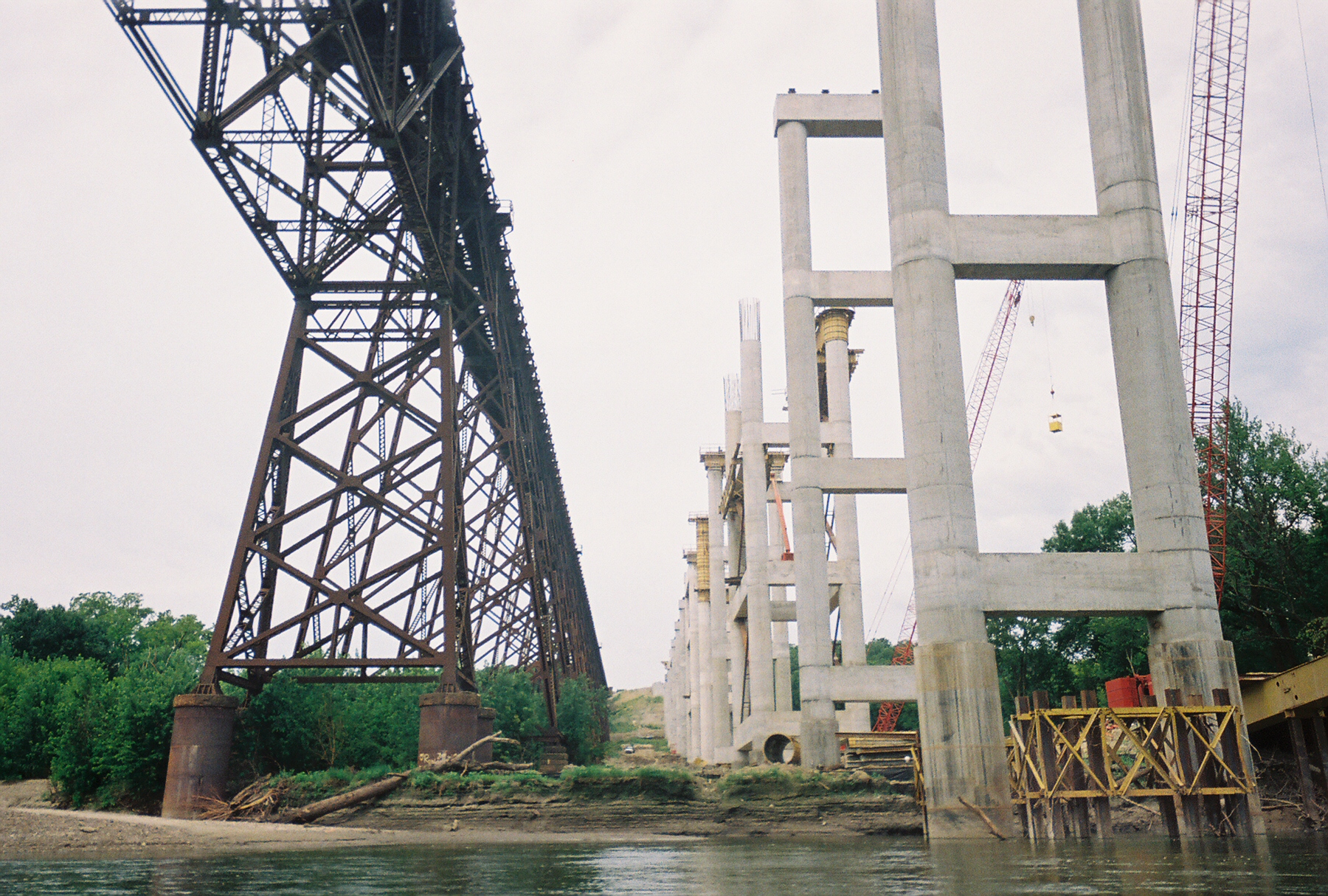
42°03′32″N 93°54′21″W / 42.058889°N 93.905833°WBoone 8 Boone Viaduct 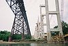
November 17, 1978 West of Boone
42°03′33″N 93°58′12″W / 42.059167°N 93.97°WBoone 9 Carl and Ulrika Dalander Cassel House April 12, 1982 415 W. 2nd St.
41°52′32″N 93°49′31″W / 41.875556°N 93.825278°WMadrid 10 Champlin Memorial Masonic Temple December 20, 1990 602 Story St.
42°03′44″N 93°52′45″W / 42.062222°N 93.879167°WBoone 11 Ericson Public Library May 23, 1983 702 Greene St.
42°03′47″N 93°53′06″W / 42.063056°N 93.885°WBoone 12 First National Bank June 28, 1989 8th and Story Sts.
42°03′49″N 93°52′47″W / 42.063611°N 93.879722°WBoone 13 John H. Herman House June 28, 1989 711 S. Story St.
42°02′58″N 93°52′48″W / 42.049444°N 93.88°WBoone 14 Perrigo-Holmes House September 8, 1994 721 Carroll St.
42°03′45″N 93°53′03″W / 42.0625°N 93.884167°WBoone 15 J.H. Riekenberg House April 11, 1988 310 N. Tama St.
42°03′33″N 93°52′43″W / 42.059167°N 93.878611°WBoone 16 Squaw Creek Bridge June 25, 1998 120th St. and V Ave. over Squaw Creek
42°26′44″N 93°45′39″W / 42.445556°N 93.760833°WRidgeport 17 Squaw Creek Bridge 2 June 25, 1998 110th St. and V Ave. over Squaw Creek
42°11′44″N 93°46′31″W / 42.195556°N 93.775278°WRidgeport 18 Stoll Building Works May 2, 1997 824 Allen St.
42°04′01″N 93°52′51″W / 42.066944°N 93.880833°WBoone See also
References
- ^ The latitude and longitude information provided in this table was derived originally from the National Register Information System, which has been found to be fairly accurate for about 99% of listings. For about 1% of NRIS original coordinates, experience has shown that one or both coordinates are typos or otherwise extremely far off; some corrections may have been made. A more subtle problem causes many locations to be off by up to 150 yards, depending on location in the country: most NRIS coordinates were derived from tracing out latitude and longitudes off of USGS topographical quadrant maps created under North American Datum of 1927, which differs from the current, highly accurate GPS system used by Google maps. Chicago is about right, but NRIS longitudes in Washington are higher by about 4.5 seconds, and are lower by about 2.0 seconds in Maine. Latitudes differ by about 1.0 second in Florida. Some locations in this table may have been corrected to current GPS standards.
- ^ "National Register of Historic Places: Weekly List Actions". National Park Service, United States Department of the Interior. Retrieved on November 10, 2011.
- ^ Numbers represent an ordering by significant words. Various colorings, defined here, differentiate National Historic Landmark sites and National Register of Historic Places Districts from other NRHP buildings, structures, sites or objects.
- ^ "National Register Information System". National Register of Historic Places. National Park Service. . http://nrhp.focus.nps.gov/natreg/docs/All_Data.html.
U.S. National Register of Historic Places Topics Lists by states Alabama • Alaska • Arizona • Arkansas • California • Colorado • Connecticut • Delaware • Florida • Georgia • Hawaii • Idaho • Illinois • Indiana • Iowa • Kansas • Kentucky • Louisiana • Maine • Maryland • Massachusetts • Michigan • Minnesota • Mississippi • Missouri • Montana • Nebraska • Nevada • New Hampshire • New Jersey • New Mexico • New York • North Carolina • North Dakota • Ohio • Oklahoma • Oregon • Pennsylvania • Rhode Island • South Carolina • South Dakota • Tennessee • Texas • Utah • Vermont • Virginia • Washington • West Virginia • Wisconsin • WyomingLists by territories Lists by associated states Other  Category:National Register of Historic Places •
  Portal:National Register of Historic Places
Municipalities and communities of Boone County, Iowa County seat: Boone Cities 
Townships Unincorporated
communityFootnotes ‡This populated place also has portions in an adjacent county or counties
Categories:- National Register of Historic Places in Iowa by county
- Boone County, Iowa
- Buildings and structures in Boone County, Iowa
-


Wikimedia Foundation. 2010.