- National Register of Historic Places listings in Winneshiek County, Iowa
-
 Location of Winneshiek County in Iowa
This is a list of the National Register of Historic Places listings in Winneshiek County, Iowa.
This is intended to be a complete list of the properties and districts on the National Register of Historic Places in Winneshiek County, Iowa, United States. Latitude and longitude coordinates are provided for many National Register properties and districts; these locations may be seen together in a Google map.[1]
There are 30 properties and districts listed on the National Register in the county.
-
- This National Park Service list is complete through NPS recent listings posted November 10, 2011.[2]
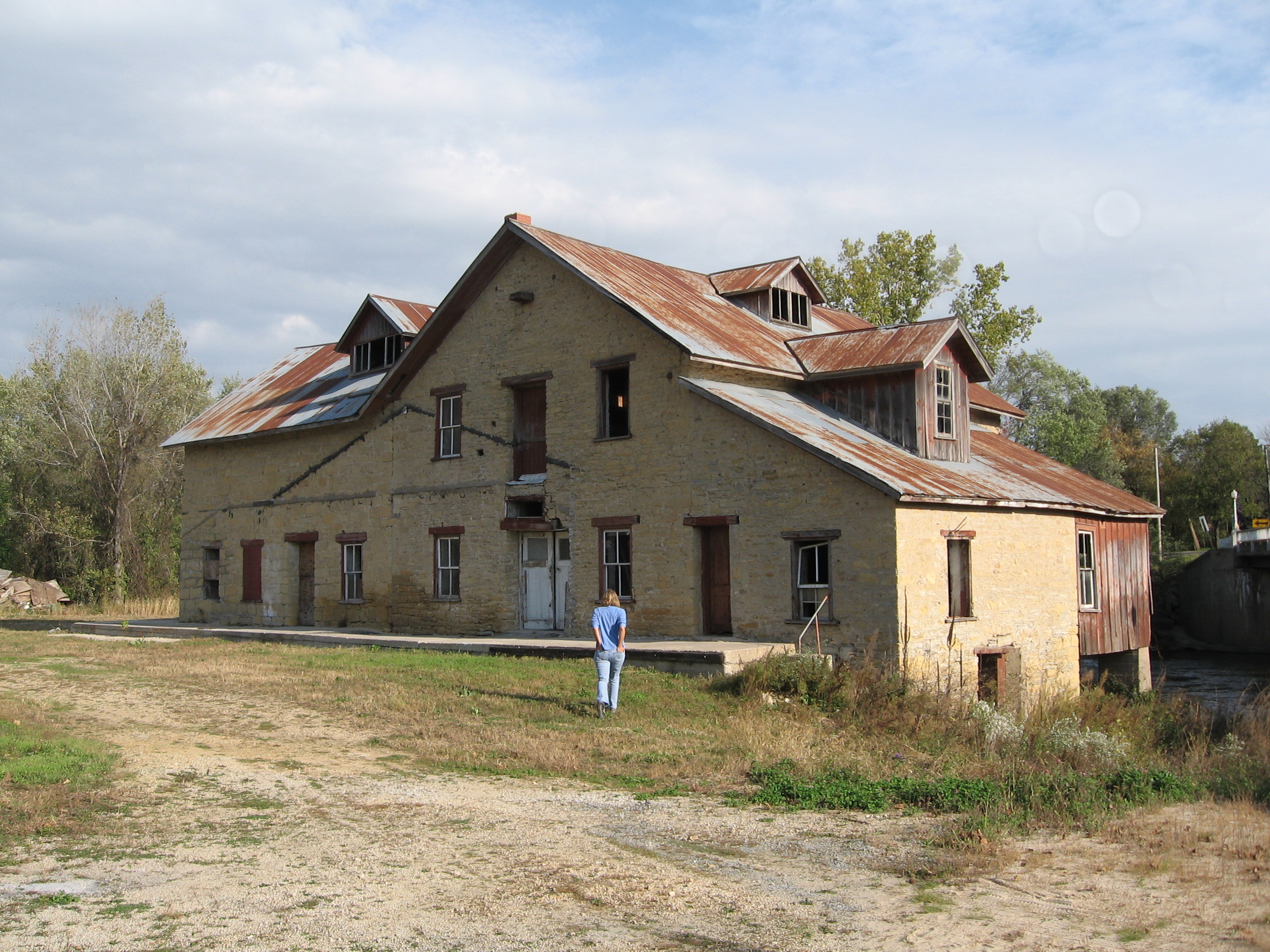
[3] Landmark name [4] Image Date listed Location City or town Summary 1 Big Stone Mills 
July 15, 2009 113 North Main Street
43°12′27″N 91°57′03″W / 43.207375°N 91.950717°WSpillville Demolished June 23, 2011, but still listed on NRHP pending removal from list 2 Birdsall Lime Kiln March 21, 1979 Northeast of Decorah
43°18′08″N 91°46′02″W / 43.302222°N 91.767222°WDecorah 3 Broadway-Phelps Park Historic District November 13, 1976 West Broadway from Winnebago Street to Park Drive
43°18′01″N 91°47′35″W / 43.300278°N 91.793056°WDecorah 4 Burr Oak House/Masters Hotel 
January 27, 1983 State Street
43°27′28″N 91°51′56″W / 43.457778°N 91.865556°WBurr Oak Laura Ingalls Wilder Museum 5 Burr Oak Savings Bank 
August 8, 2001 3608 236th Avenue
43°27′30″N 91°51′55″W / 43.458333°N 91.865278°WBurr Oak Museum Visitor Center 6 Calmar Passenger Depot March 21, 2011 201 N. Maryville St.
43°11′02″N 91°51′53″W / 43.183889°N 91.864722°WCalmar Advent & Development of Railroads in Iowa MPS 7 Cooley-Whitney House 
January 25, 1980 305 Grove Street
43°12′45″N 91°48′03″W / 43.2125°N 91.800833°WDecorah 8 Decorah Ice Cave December 20, 1978 Ice Cave Road
43°18′38″N 91°47′03″W / 43.310556°N 91.784167°WDecorah 9 Decorah Woolen Mill January 26, 2001 107 Court Street
43°18′18″N 91°47′18″W / 43.305°N 91.788333°WDecorah 10 Ellsworth-Porter House 
August 6, 1975 401 West Broadway
43°17′59″N 91°47′48″W / 43.299722°N 91.796667°WDecorah Porter House Museum 11 Fort Atkinson Bridge May 15, 1998 150th Street over the Turkey River
43°09′12″N 91°55′43″W / 43.153333°N 91.928611°WFort Atkinson 12 Frankville School November 14, 1978 State Street
43°11′20″N 91°37′18″W / 43.188889°N 91.621667°WFrankville 13 Gilliece Bridge May 15, 1998 Cattle Creek Road over the Upper Iowa River
43°24′54″N 91°57′32″W / 43.415°N 91.958889°WBluffton 14 Horn House March 25, 1977 Northwest of Decorah
43°20′33″N 91°49′32″W / 43.3425°N 91.825556°WDecorah 15 Jacobson Farm June 14, 1982 Junction of County Road W42 and 162nd Street, southeast of Decorah
43°10′21″N 91°45′54″W / 43.17238°N 91.76508°WDecorah 16 Kinney Octagon Barn 
November 19, 1986 Off U.S. Route 52
43°28′21″N 91°52′04″W / 43.4725°N 91.867778°WBurr Oak 17 Koren Library 
January 12, 1984 Luther College campus
43°18′37″N 91°48′19″W / 43.310278°N 91.805278°WDecorah 18 Lawrence Bridge May 15, 1998 330th Avenue over the Little Turkey River
43°04′58″N 92°03′08″W / 43.082778°N 92.052222°WJackson Junction 19 Locust School May 22, 1978 North of Decorah
43°25′14″N 91°43′22″W / 43.420556°N 91.722778°WDecorah 20 Luther College Farm July 17, 1979 Luther College campus
43°19′04″N 91°48′05″W / 43.317778°N 91.801389°WDecorah 21 Norris Miller House 
June 8, 1976 118 North Mill Street
43°18′15″N 91°46′46″W / 43.304167°N 91.779444°WDecorah Part of Vesterheim Norwegian-American Museum 22 Ossian Opera House June 18, 1979 Main Street
43°08′41″N 91°45′53″W / 43.144722°N 91.764722°WOssian 23 Painter-Bernatz Mill 
January 11, 1974 200 North Mill Street
43°18′36″N 91°47′20″W / 43.31°N 91.788889°WDecorah 24 Steyer Bridge January 4, 1983 Oneata Road off U.S. Route 52
43°17′54″N 91°48′39″W / 43.298333°N 91.810833°WDecorah 25 Steyer Opera House 
January 24, 1980 102-104 West Water Street
43°18′12″N 91°47′21″W / 43.303333°N 91.789167°WDecorah 26 Wenzil Taylor Building March 21, 1979 Main Street
43°12′20″N 91°57′13″W / 43.205556°N 91.953611°WSpillville 27 Ten Mile Creek Bridge May 15, 1998 Happy Hollow Road over Ten Mile Creek
43°20′17″N 91°53′18″W / 43.338056°N 91.888333°WDecorah 28 Turkey River Bridge May 15, 1998 Little Church Road over the Turkey River
43°05′06″N 91°53′38″W / 43.085°N 91.893889°WFestina Demolished and replaced in 2010[5] 29 Upper Bluffton Bridge May 15, 1998 Ravine Road over the Upper Iowa River
43°24′18″N 91°55′12″W / 43.405°N 91.92°WBluffton 30 Washington Prairie Methodist Church January 29, 1980 Southeast of Decorah
43°14′17″N 91°44′38″W / 43.238056°N 91.743889°WDecorah See also
References
- ^ The latitude and longitude information provided in this table was derived originally from the National Register Information System, which has been found to be fairly accurate for about 99% of listings. For about 1% of NRIS original coordinates, experience has shown that one or both coordinates are typos or otherwise extremely far off; some corrections may have been made. A more subtle problem causes many locations to be off by up to 150 yards, depending on location in the country: most NRIS coordinates were derived from tracing out latitude and longitudes off of USGS topographical quadrant maps created under the North American Datum of 1927, which differs from the current, highly accurate WGS84 GPS system used by Google maps. Chicago is about right, but NRIS longitudes in Washington are higher by about 4.5 seconds, and are lower by about 2.0 seconds in Maine. Latitudes differ by about 1.0 second in Florida. Some locations in this table may have been corrected to current GPS standards.
- ^ "National Register of Historic Places: Weekly List Actions". National Park Service, United States Department of the Interior. Retrieved on November 10, 2011.
- ^ Numbers represent an ordering by significant words. Various colorings, defined here, differentiate National Historic Landmark sites and National Register of Historic Places Districts from other NRHP buildings, structures, sites or objects.
- ^ "National Register Information System". National Register of Historic Places. National Park Service. . http://nrhp.focus.nps.gov/natreg/docs/All_Data.html.
- ^ "Turkey River Bridge". Bridgehunter.com. http://bridgehunter.com/ia/winneshiek/turkey-river/. Retrieved April 4, 2011.
U.S. National Register of Historic Places Topics Lists by states Alabama • Alaska • Arizona • Arkansas • California • Colorado • Connecticut • Delaware • Florida • Georgia • Hawaii • Idaho • Illinois • Indiana • Iowa • Kansas • Kentucky • Louisiana • Maine • Maryland • Massachusetts • Michigan • Minnesota • Mississippi • Missouri • Montana • Nebraska • Nevada • New Hampshire • New Jersey • New Mexico • New York • North Carolina • North Dakota • Ohio • Oklahoma • Oregon • Pennsylvania • Rhode Island • South Carolina • South Dakota • Tennessee • Texas • Utah • Vermont • Virginia • Washington • West Virginia • Wisconsin • WyomingLists by territories Lists by associated states Other Municipalities and communities of Winneshiek County, Iowa Cities Calmar | Castalia | Decorah | Fort Atkinson | Jackson Junction | Ossian | Ridgeway | Spillville

Unincorporated
communitiesCategories:- National Register of Historic Places in Iowa by county
- Winneshiek County, Iowa
- Buildings and structures in Winneshiek County, Iowa
-


Wikimedia Foundation. 2010.