- National Register of Historic Places listings in Clinton County, Iowa
-
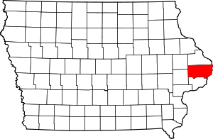 Location of Clinton County in Iowa
This is a list of the National Register of Historic Places listings in Clinton County, Iowa.
This is intended to be a complete list of the properties and districts on the National Register of Historic Places in Clinton County, Iowa, United States. Latitude and longitude coordinates are provided for many National Register properties and districts; these locations may be seen together in a Google map.[1]
There are 26 properties and districts listed on the National Register in the county, including one National Historic Landmark.
-
- This National Park Service list is complete through NPS recent listings posted November 10, 2011.[2]
Current listings
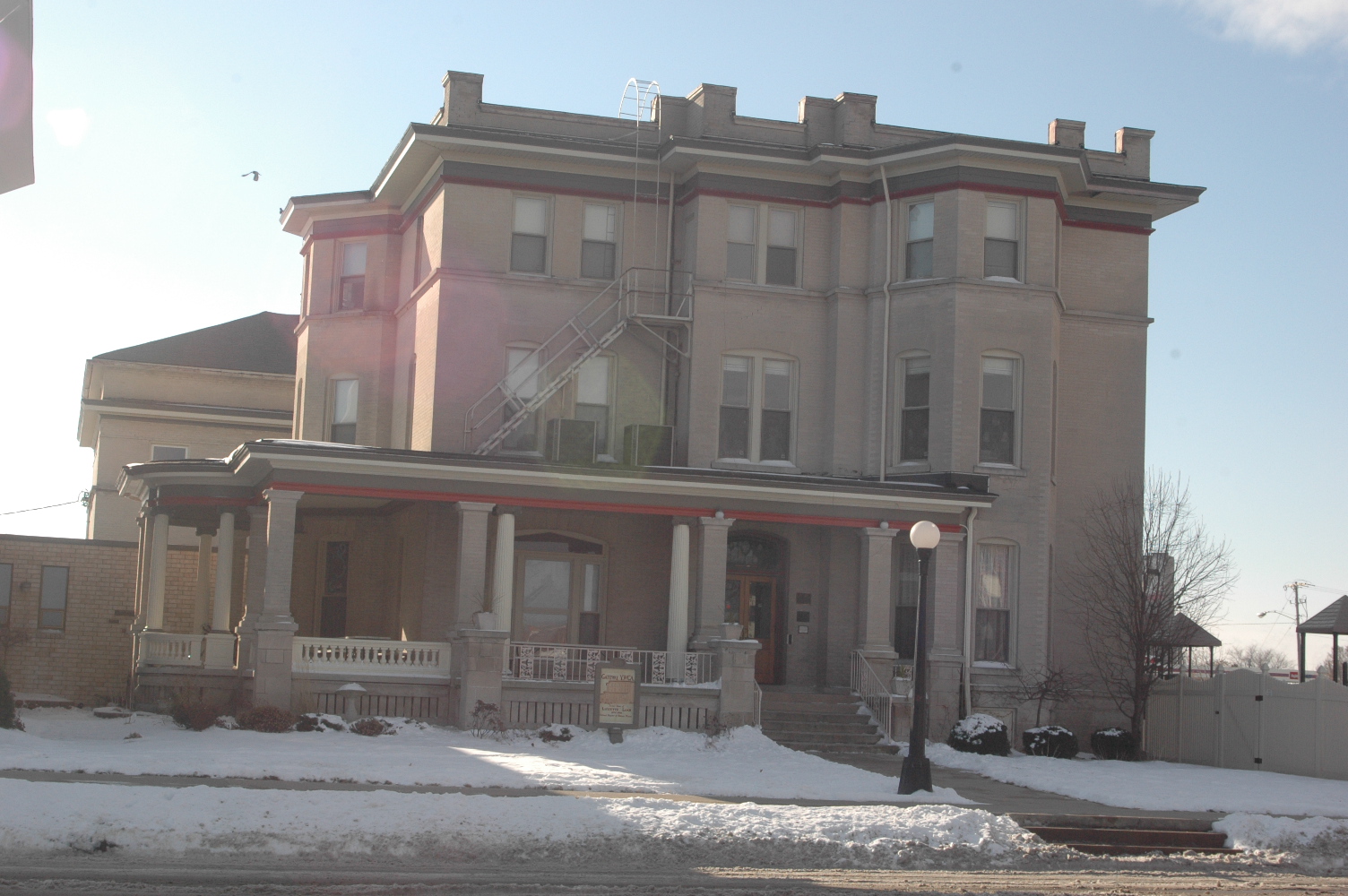
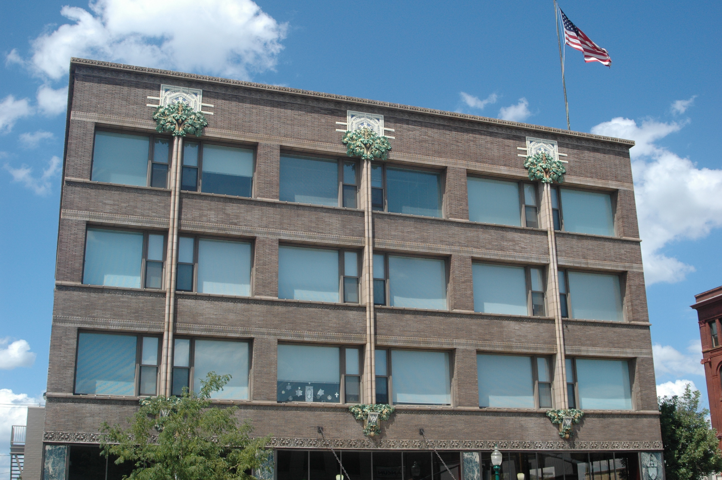
[3] Landmark name [4] Image Date listed Location City or town Summary 1 Ames Creek Bridge June 25, 1998 300th St. over Ames Creek
41°51′01″N 90°30′36″W / 41.850278°N 90.51°WDeWitt 2 Ankeny Building 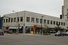
March 2, 2006 201 5th Ave., S.
41°50′34″N 90°11′18″W / 41.842778°N 90.188333°WClinton 3 Horace Anthony House May 1, 1991 1206 Anthony Pl.
41°46′49″N 90°15′33″W / 41.780278°N 90.259167°WCamanche 4 Castle Terrace Historic District January 7, 1998 Roughly along the junction of Terrace Dr. and Caroline Ave.
41°50′17″N 90°13′02″W / 41.838056°N 90.217222°WClinton 5 Cherry Bank November 22, 1999 1458 Main Ave.
41°52′28″N 90°12′28″W / 41.874444°N 90.207778°WClinton 6 Chicago, Milwaukee, St. Paul & Pacific Depot- Delmar April 14, 1997 West of Main St., between Railroad St. and Clinton Ave.
42°00′05″N 90°36′30″W / 42.001389°N 90.608333°WDelmar 7 City Hotel October 3, 2007 214 S. Main St.
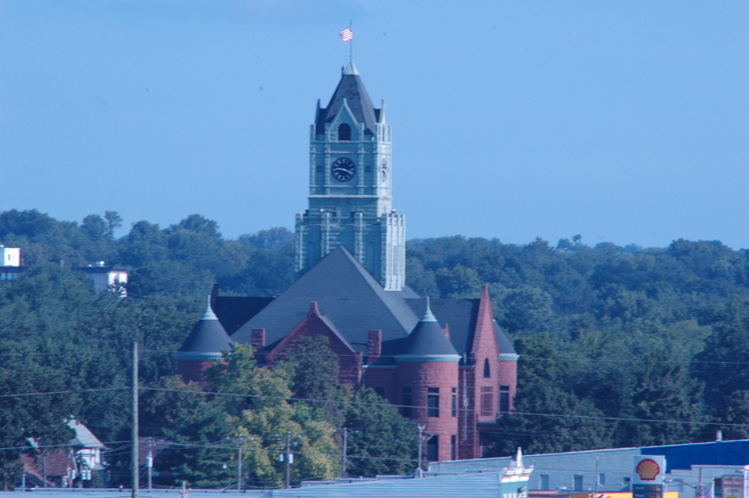
41°49′51″N 90°50′20″W / 41.830833°N 90.838889°WWheatland 8 Clinton County Courthouse 
July 2, 1981 Between 6th and 7th Aves.
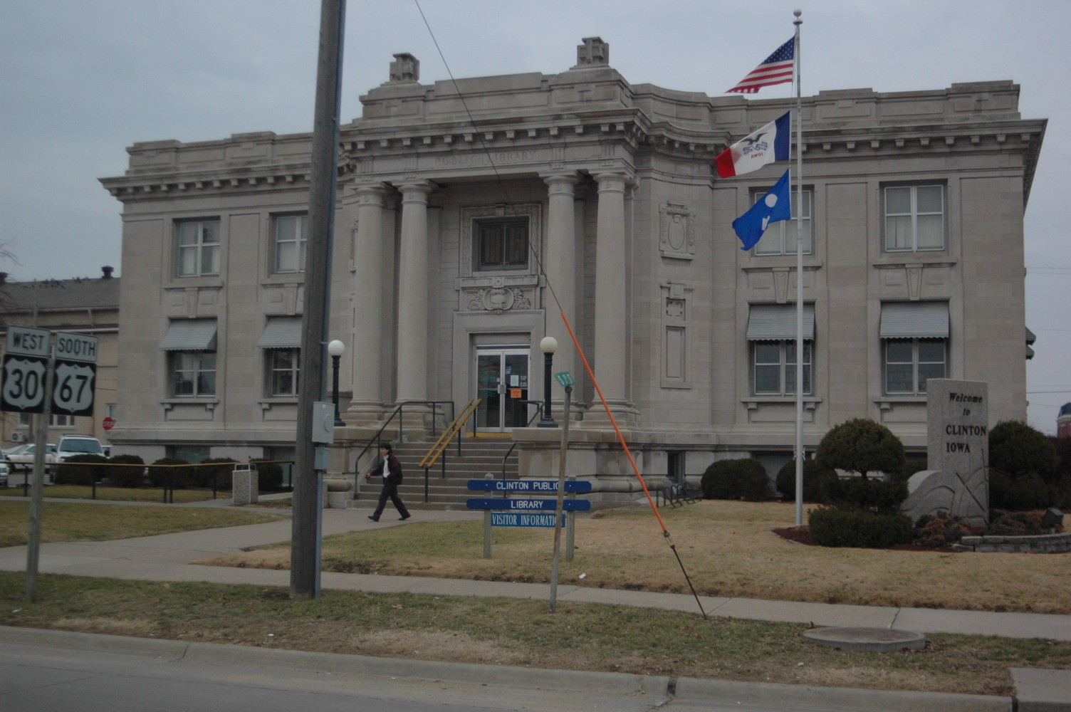
41°51′02″N 90°11′17″W / 41.850556°N 90.188056°WClinton 9 Clinton Public Library 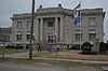
May 23, 1983 306 8th Ave, S.
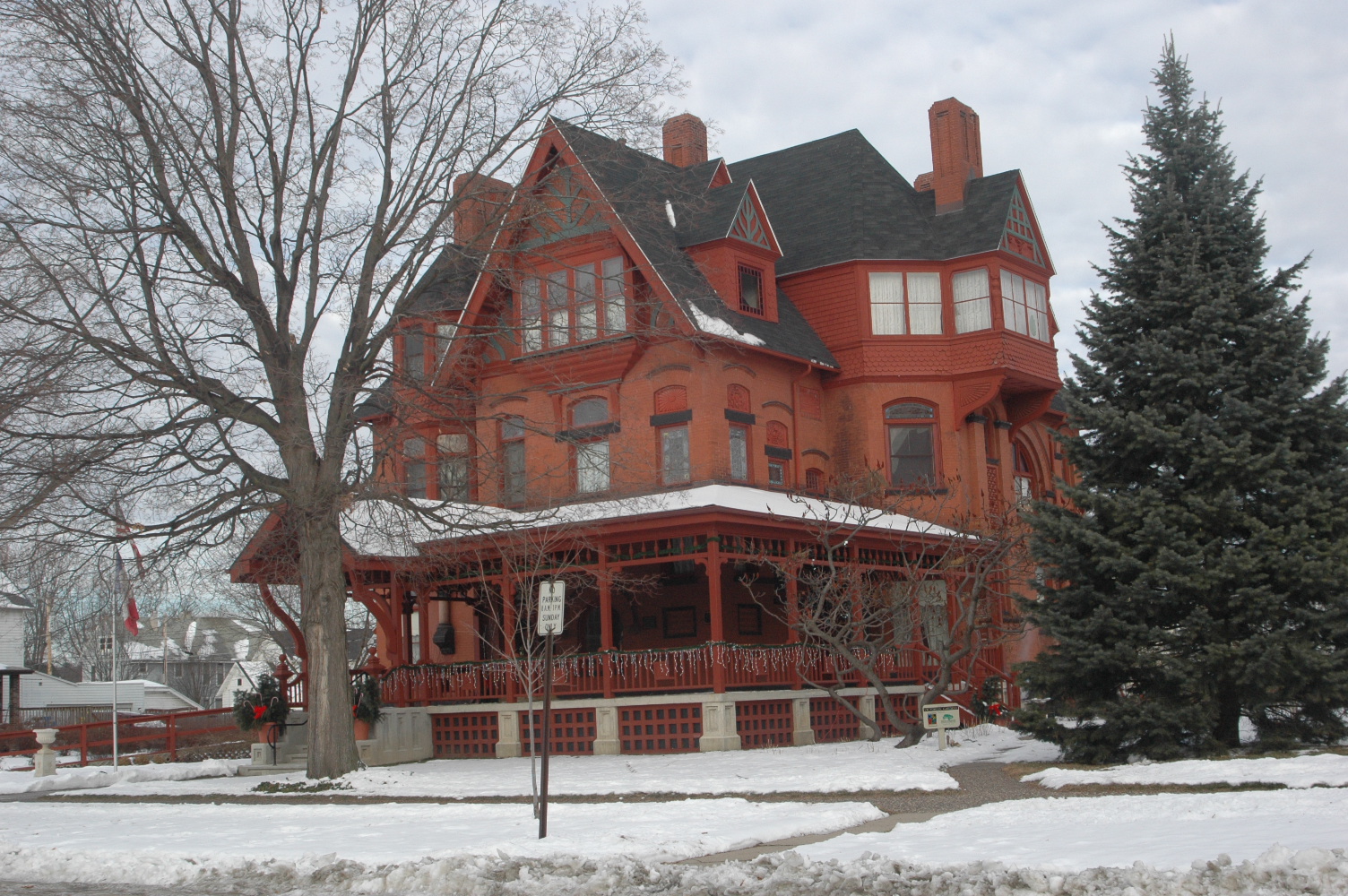
41°50′17″N 90°11′29″W / 41.838056°N 90.191389°WClinton 10 George M. Curtis House 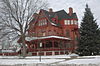
October 1, 1979 420 S. 5th Ave.
41°50′28″N 90°11′40″W / 41.841111°N 90.194444°WClinton 11 Delmar Calaboose March 19, 1981 Vane St.
42°00′02″N 90°36′21″W / 42.000556°N 90.605833°WDelmar 12 Peter Dierks House December 30, 1998 Iowa Highway 136, 5 miles west of Clinton
41°53′44″N 90°16′12″W / 41.895556°N 90.27°WClinton 13 Dugan's Saloon August 30, 2001 516 Smith St.
41°48′22″N 90°38′56″W / 41.806111°N 90.648889°WGrand Mound 14 Farmers and Merchants Savings Bank August 30, 2001 601 Smith St.
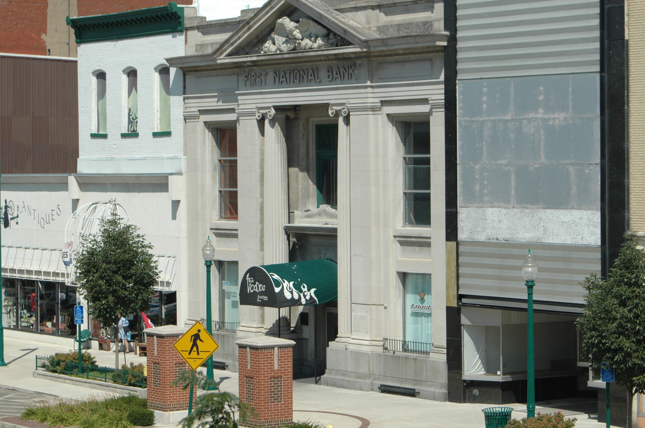
41°49′27″N 90°38′50″W / 41.824167°N 90.647222°WGrand Mound 15 First National Bank 
October 10, 1985 226 5th Ave., S.
41°50′28″N 90°11′21″W / 41.841111°N 90.189167°WClinton 16 Grand Mound Town Hall and Waterworks Historic District August 30, 2001 613-615 Clinton St.
41°49′26″N 90°38′58″W / 41.823889°N 90.649444°WGrand Mound 17 Helvig-Olson Farm Historic District August 15, 2000 2008 260th St.
41°48′14″N 90°42′05″W / 41.803889°N 90.701389°WGrand Mound 18 Howes Building 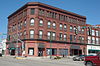
December 15, 2004 419-425 2nd St., S.
41°50′30″N 90°11′15″W / 41.841667°N 90.1875°WClinton 19 George Johnson House August 15, 2000 2566 190th Ave.
41°48′18″N 90°43′26″W / 41.805°N 90.723889°WCalamus 20 Kvindherred Lutheran Church, School and Cemetery August 15, 2000 2589 190th Ave.
41°48′26″N 90°43′26″W / 41.807222°N 90.723889°WCalamus 21 Lafayette Lamb House 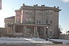
October 18, 1979 317 7th Ave., S.
42°01′06″N 90°11′01″W / 42.018333°N 90.183611°WClinton 22 Moeszinger-Marquis Hardware Co. 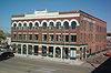
February 9, 2006 721 2nd St., S.
41°50′26″N 90°11′18″W / 41.840556°N 90.188333°WClinton 23 Saint Irenaeus Church September 3, 2010 2811 N. 2nd St.
41°52′41″N 90°10′40″W / 41.878056°N 90.177778°WClinton 24 Sharon Methodist Episcopal Church August 14, 2003 1223 125th St.
41°59′43″N 90°51′18″W / 41.995278°N 90.855°WLost Nation 25 Van Allen Store 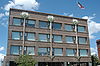
January 7, 1976 5th Ave. and S. 2nd St.
41°50′29″N 90°11′18″W / 41.841389°N 90.188333°WClinton 26 Wilson District No. 7 School December 6, 2004 1507 270th Ave.
41°57′32″N 90°34′05″W / 41.958889°N 90.568056°WDelmar See also
References
- ^ The latitude and longitude information provided in this table was derived originally from the National Register Information System, which has been found to be fairly accurate for about 99% of listings. For about 1% of NRIS original coordinates, experience has shown that one or both coordinates are typos or otherwise extremely far off; some corrections may have been made. A more subtle problem causes many locations to be off by up to 150 yards, depending on location in the country: most NRIS coordinates were derived from tracing out latitude and longitudes off of USGS topographical quadrant maps created under the North American Datum of 1927, which differs from the current, highly accurate WGS84 GPS system used by Google maps. Chicago is about right, but NRIS longitudes in Washington are higher by about 4.5 seconds, and are lower by about 2.0 seconds in Maine. Latitudes differ by about 1.0 second in Florida. Some locations in this table may have been corrected to current GPS standards.
- ^ "National Register of Historic Places: Weekly List Actions". National Park Service, United States Department of the Interior. Retrieved on November 10, 2011.
- ^ Numbers represent an ordering by significant words. Various colorings, defined here, differentiate National Historic Landmark sites and National Register of Historic Places Districts from other NRHP buildings, structures, sites or objects.
- ^ "National Register Information System". National Register of Historic Places. National Park Service. . http://nrhp.focus.nps.gov/natreg/docs/All_Data.html.
U.S. National Register of Historic Places Topics Lists by states Alabama • Alaska • Arizona • Arkansas • California • Colorado • Connecticut • Delaware • Florida • Georgia • Hawaii • Idaho • Illinois • Indiana • Iowa • Kansas • Kentucky • Louisiana • Maine • Maryland • Massachusetts • Michigan • Minnesota • Mississippi • Missouri • Montana • Nebraska • Nevada • New Hampshire • New Jersey • New Mexico • New York • North Carolina • North Dakota • Ohio • Oklahoma • Oregon • Pennsylvania • Rhode Island • South Carolina • South Dakota • Tennessee • Texas • Utah • Vermont • Virginia • Washington • West Virginia • Wisconsin • WyomingLists by territories Lists by associated states Other Municipalities and communities of Clinton County, Iowa Cities Andover | Calamus | Camanche | Charlotte | Clinton | DeWitt | Delmar | Goose Lake | Grand Mound | Lost Nation | Low Moor | Maquoketa‡ | Toronto | Welton | Wheatland

Townships Bloomfield | Brookfield | Camanche | Center | De Witt | Deep Creek | Eden | Elk River | Grant | Hampshire | Liberty | Olive | Orange | Sharon | Spring Rock | Washington | Waterford | Welton
Unincorporated
communitiesBryant | Elvira | Elwood | Folletts | Teeds Grove
Footnotes ‡This populated place also has portions in an adjacent county or counties
Categories:- National Register of Historic Places in Iowa by county
- Clinton County, Iowa
- Buildings and structures in Clinton County, Iowa
-


Wikimedia Foundation. 2010.