- National Register of Historic Places listings in Boone County, Indiana
-
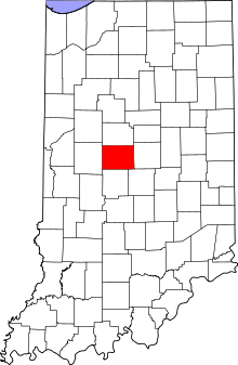 Location of Boone County in Indiana
This is a list of the National Register of Historic Places listings in Boone County, Indiana.
This is intended to be a complete list of the properties and districts on the National Register of Historic Places in Boone County, Indiana, United States. Latitude and longitude coordinates are provided for many National Register properties and districts; these locations may be seen together in a Google map.[1]
There are 10 properties and districts listed on the National Register in the county.
-
- This National Park Service list is complete through NPS recent listings posted November 10, 2011.[2]
Current listings
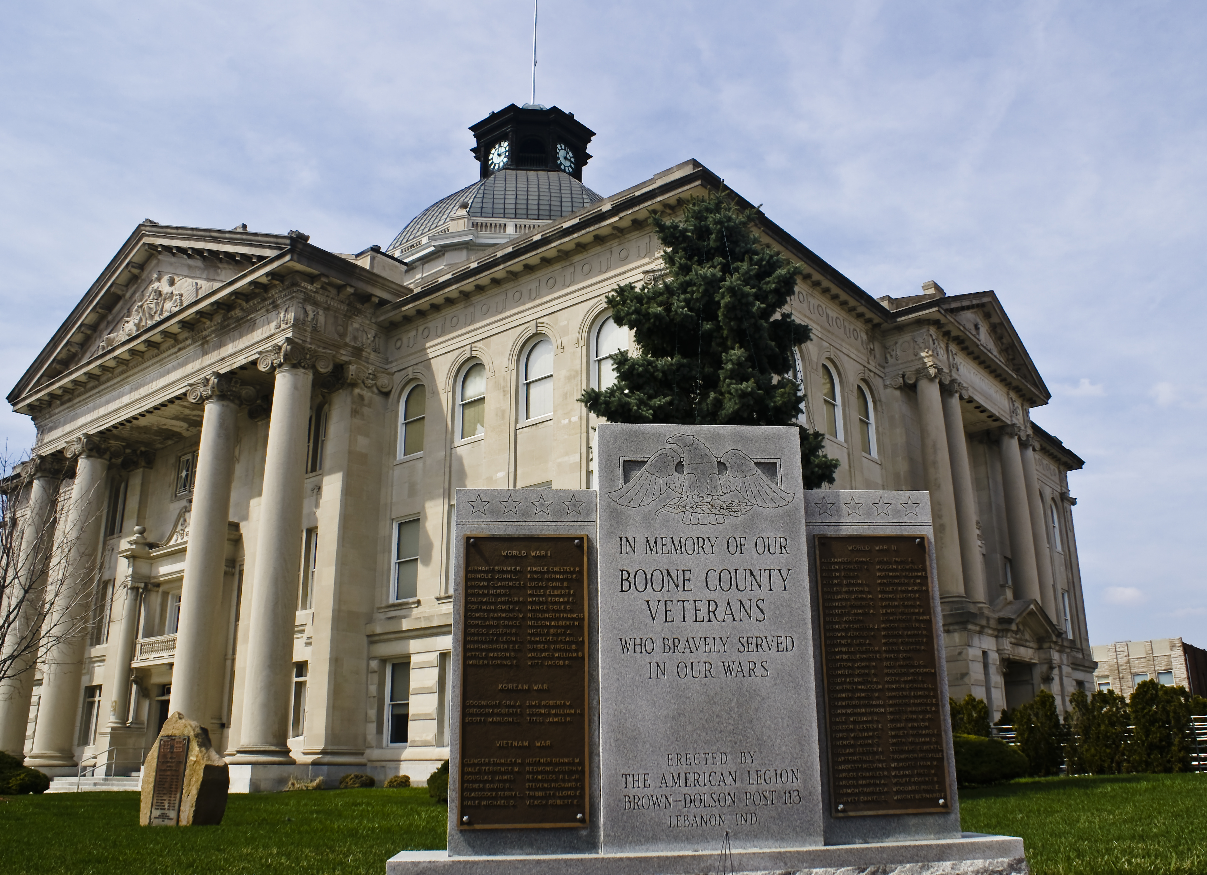
[3] Landmark name [4] Image Date listed Location City or town Summary 1 Boone County Courthouse 
September 22, 1986 Courthouse Sq.
40°02′52″N 86°28′07″W / 40.047778°N 86.468611°WLebanon 2 Pryor Brock Farmstead June 27, 2008 8602 County Road 500S
39°58′05″N 86°18′21″W / 39.968056°N 86.305833°WZionsville Carpenter's rendering of Italianate architecture, symbolic of the "golden age" of Hoosier agriculture 3 Howard School September 24, 2009 4555 E. County Road 750S
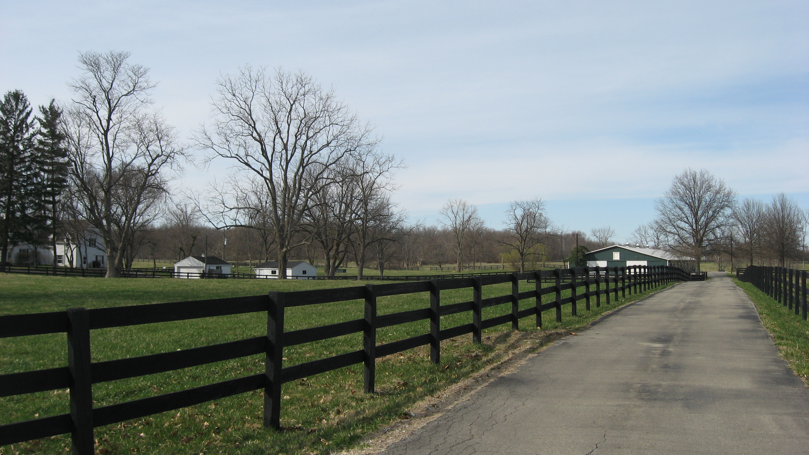
39°55′51″N 86°22′56″W / 39.93075°N 86.382222°WBrownsburg 4 Maplelawn Farmstead September 15, 2011 9575 Whitestown Rd.
39°57′53″N 86°17′15″W / 39.964722°N 86.2875°WZionsville Eagle Township and Pike Township, Indiana MPS 5 Scotland Bridge March 17, 1994 Lost Rd. (County Road 200E) over Sugar Creek
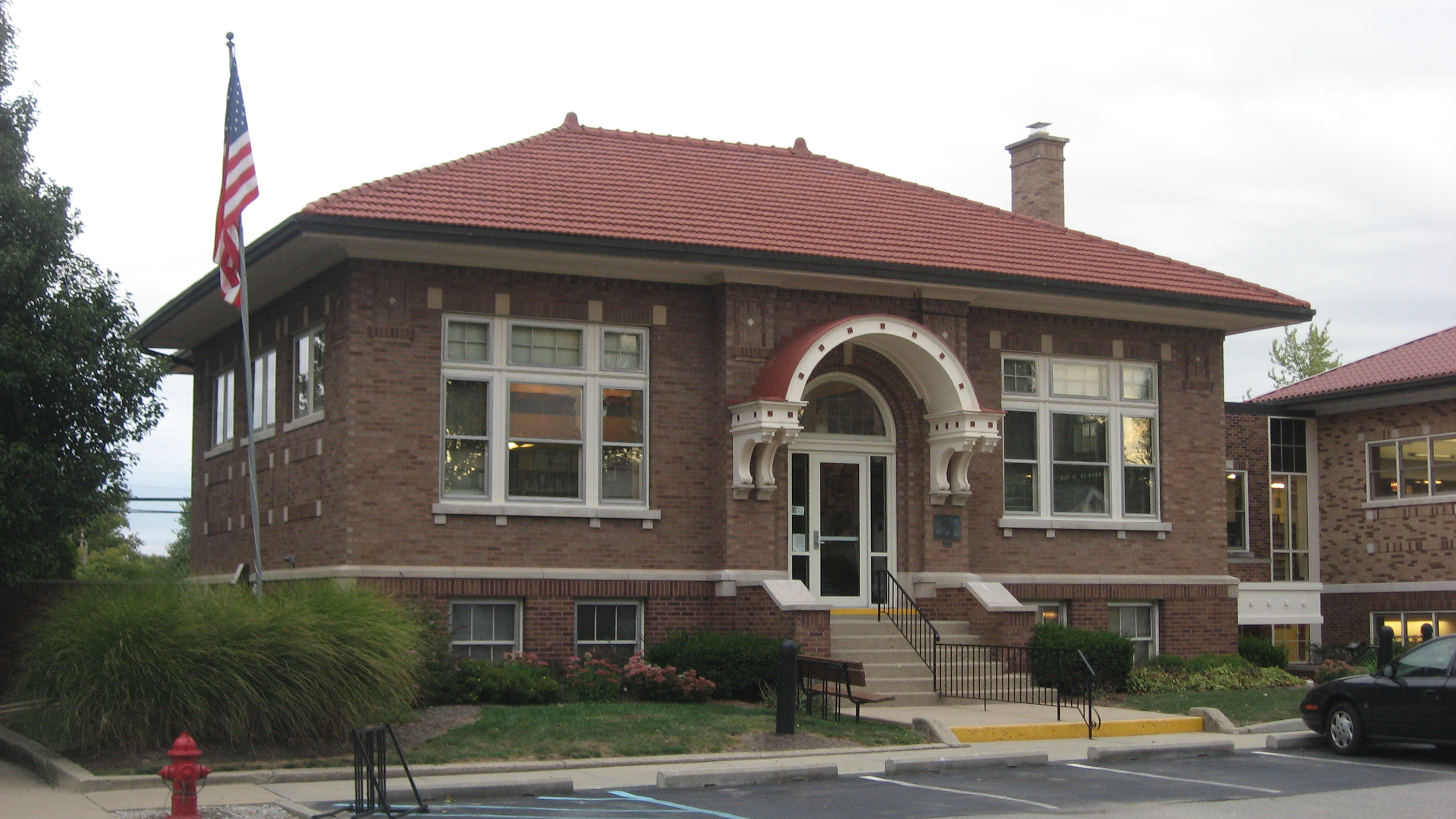
40°10′36″N 86°25′54″W / 40.176667°N 86.431667°WMechanicsburg 6 Thorntown Public Library 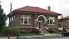
September 22, 1986 124 N. Market St.
40°07′50″N 86°36′22″W / 40.130556°N 86.606111°WThorntown 7 Traders Point Eagle Creek Rural Historic District 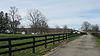
June 17, 2009 Roughly between Interstate 865, Interstate 465, and Lafayette Rd.
39°55′32″N 86°17′47″W / 39.925556°N 86.296389°WEagle Township Extends into Pike Township in Marion County[5] 8 Traders Point Hunt Rural Historic District June 17, 2009 Roughly bounded by State Road 334, Interstate 865, Old Hunt Club Rd., and County Road 850E
39°56′25″N 86°19′17″W / 39.940294°N 86.321297°WZionsville Eagle Township and Pike Township, Indiana MPS. 9 Town Hall (Castle Hall) June 9, 1983 65 E. Cedar St.
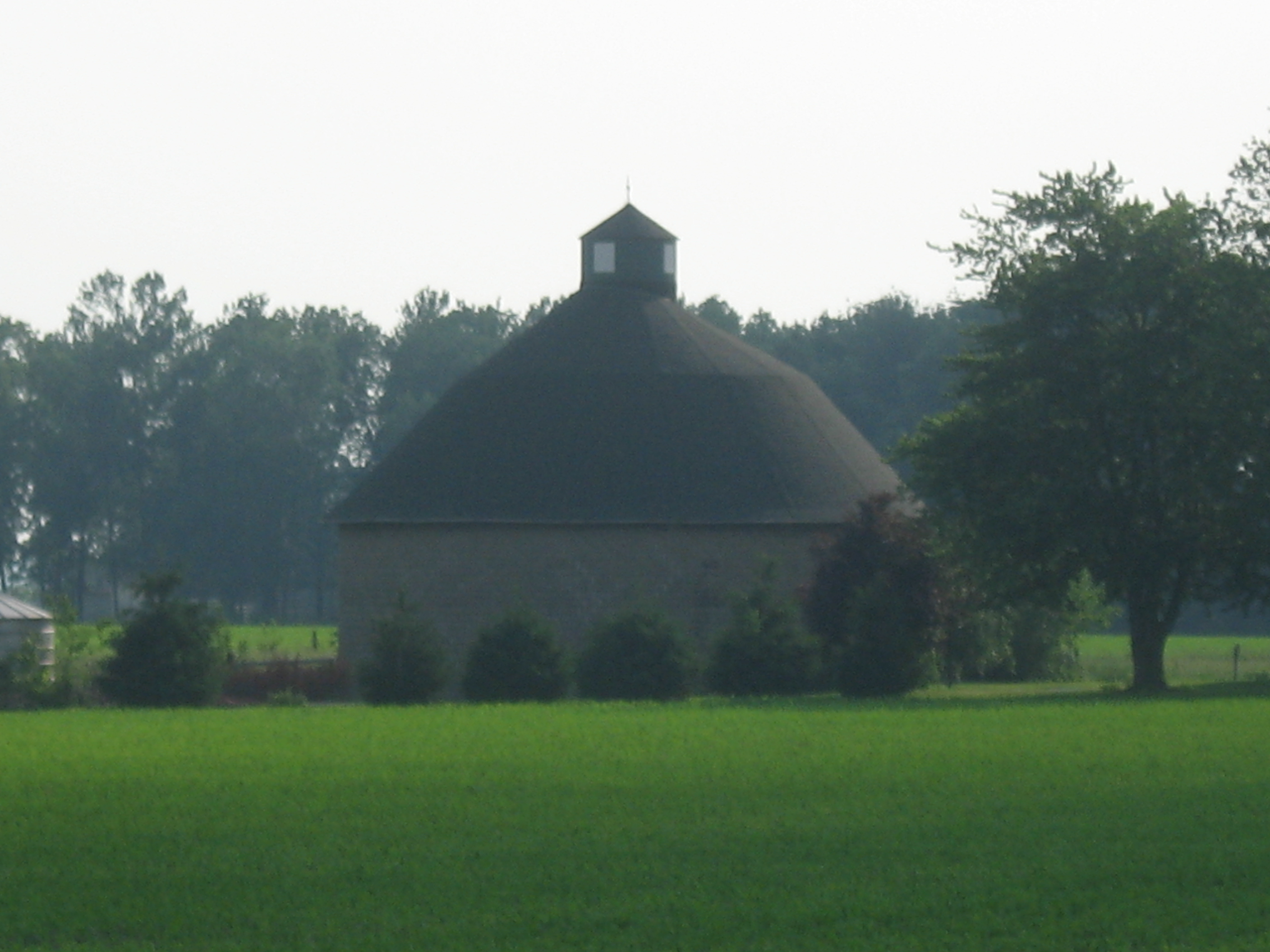
39°57′05″N 86°15′40″W / 39.951389°N 86.261111°WZionsville 10 Andrew B. VanHuys Round Barn 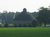
April 2, 1993 755 W. County Road 125 S.
40°1′17.4″N 86°29′0″W / 40.0215°N 86.483333°W[6]Lebanon See also
- List of National Historic Landmarks in Indiana
- National Register of Historic Places listings in Indiana
References
- ^ The latitude and longitude information provided in this table was derived originally from the National Register Information System, which has been found to be fairly accurate for about 99% of listings. For about 1% of NRIS original coordinates, experience has shown that one or both coordinates are typos or otherwise extremely far off; some corrections may have been made. A more subtle problem causes many locations to be off by up to 150 yards, depending on location in the country: most NRIS coordinates were derived from tracing out latitude and longitudes off of USGS topographical quadrant maps created under the North American Datum of 1927, which differs from the current, highly accurate WGS84 GPS system used by Google maps. Chicago is about right, but NRIS longitudes in Washington are higher by about 4.5 seconds, and are lower by about 2.0 seconds in Maine. Latitudes differ by about 1.0 second in Florida. Some locations in this table may have been corrected to current GPS standards.
- ^ "National Register of Historic Places: Weekly List Actions". National Park Service, United States Department of the Interior. Retrieved on November 10, 2011.
- ^ Numbers represent an ordering by significant words. Various colorings, defined here, differentiate National Historic Landmark sites and National Register of Historic Places Districts from other NRHP buildings, structures, sites or objects.
- ^ "National Register Information System". National Register of Historic Places. National Park Service. . http://nrhp.focus.nps.gov/natreg/docs/All_Data.html.
- ^ Fife, Camille B. National Register of Historic Places Inventory/Nomination: Traders Point Eagle Creek Rural Historic District. National Park Service, 2008-05, 90.
- ^ Location derived from Indiana Division of Historic Preservation and Archaeology, Historic Indiana: Indiana Properties Listed in the National Register of Historic Places 2003 - 2004, n.d., 17. Accessed 2010-11-16. The NRIS lists the site as "Address Restricted".
U.S. National Register of Historic Places Topics Lists by states Alabama • Alaska • Arizona • Arkansas • California • Colorado • Connecticut • Delaware • Florida • Georgia • Hawaii • Idaho • Illinois • Indiana • Iowa • Kansas • Kentucky • Louisiana • Maine • Maryland • Massachusetts • Michigan • Minnesota • Mississippi • Missouri • Montana • Nebraska • Nevada • New Hampshire • New Jersey • New Mexico • New York • North Carolina • North Dakota • Ohio • Oklahoma • Oregon • Pennsylvania • Rhode Island • South Carolina • South Dakota • Tennessee • Texas • Utah • Vermont • Virginia • Washington • West Virginia • Wisconsin • WyomingLists by territories Lists by associated states Other Municipalities and communities of Boone County, Indiana City 
Towns Advance | Jamestown‡ | Thorntown | Ulen | Whitestown | Zionsville
Townships Unincorporated
communitiesBig Springs | Eagle Village | Eaglewood Estates | Elizaville | Elmwood | Fayette | Gadsden | Hazelrigg | Herr | Max | Mechanicsburg | Milledgeville | New Brunswick | Northern Meadows | Northfield | Pike | Rosston | Royalton | Russell Lake | Shepherd | Stringtown | Terhune | Waugh
Footnotes ‡This populated place also has portions in an adjacent county or counties
Categories:- Boone County, Indiana
- National Register of Historic Places in Indiana by county
-

Wikimedia Foundation. 2010.