- National Register of Historic Places listings in Knox County, Kentucky
-
 Location of Knox County in Kentucky
This is a list of the National Register of Historic Places listings in Knox County, Kentucky.
It is intended to be a complete list of the properties on the National Register of Historic Places in Knox County, Kentucky, United States. The locations of National Register properties for which the latitude and longitude coordinates are included below, may be seen in a Google map.[1]
There are 8 properties listed on the National Register in the county.
-
- This National Park Service list is complete through NPS recent listings posted November 10, 2011.[2]
Current listings
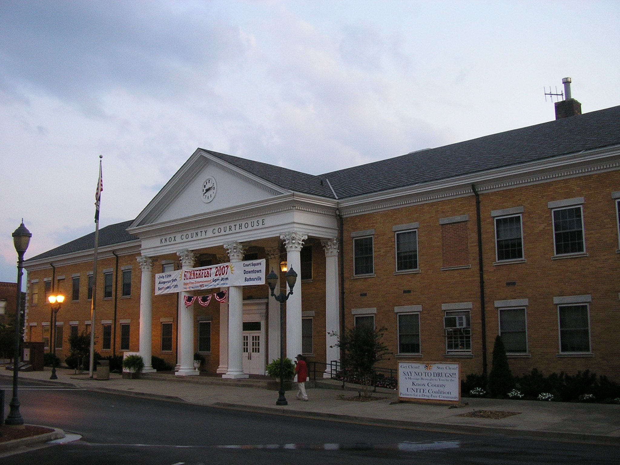
[3] Landmark name Image Date listed Location City or town Summary 1 Barbourville Commercial District 
August 2, 1984 Roughly bounded by Daniel Boone Dr., Liberty, High, and Jail Sts.
36°51′57″N 83°53′19″W / 36.865833°N 83.888611°WBarbourville 2 Croley-Evans Site (15KX24) November 30, 1985 Address Restricted Rockhold 3 East Main Street Bridge March 28, 1986 Engineers St. and Lynn Camp
36°57′05″N 84°05′07″W / 36.951389°N 84.085278°WCorbin 4 Mitchell Building-First State Bank Building August 1, 1984 222 Knox St.
36°52′01″N 83°53′14″W / 36.866944°N 83.887222°WBarbourville 5 Old Classroom Building, Union College May 30, 1975 College St.
36°51′41″N 83°53′16″W / 36.861389°N 83.887778°WBarbourville 6 Saint Camillus Academy March 28, 1986 Center St.
36°57′05″N 84°05′07″W / 36.951389°N 84.085278°WCorbin 7 Soldiers and Sailors Memorial Gymnasium August 1, 1984 Union College campus
36°52′15″N 83°53′19″W / 36.870833°N 83.888611°WBarbourville 8 Speed Hall April 29, 1982 College St.
36°52′14″N 83°53′20″W / 36.870556°N 83.888889°WBarbourville See also
- List of National Historic Landmarks in Kentucky
- National Register of Historic Places listings in Kentucky
References
- ^ The latitude and longitude information provided in this table was derived originally from the National Register Information System, which has been found to be fairly accurate for about 99% of listings. For about 1% of NRIS original coordinates, experience has shown that one or both coordinates are typos or otherwise extremely far off; some corrections may have been made. A more subtle problem causes many locations to be off by up to 150 yards, depending on location in the country: most NRIS coordinates were derived from tracing out latitude and longitudes off of USGS topographical quadrant maps created under North American Datum of 1927, which differs from the current, highly accurate GPS system used by Google maps. Chicago is about right, but NRIS longitudes in Washington are higher by about 4.5 seconds, and are lower by about 2.0 seconds in Maine. Latitudes differ by about 1.0 second in Florida. Some locations in this table may have been corrected to current GPS standards.
- ^ "National Register of Historic Places: Weekly List Actions". National Park Service, United States Department of the Interior. Retrieved on November 10, 2011.
- ^ Numbers represent an ordering by significant words. Various colorings, defined here, differentiate National Historic Landmark sites and National Register of Historic Places Districts from other NRHP buildings, structures, sites or objects.
U.S. National Register of Historic Places Topics Lists by states Alabama • Alaska • Arizona • Arkansas • California • Colorado • Connecticut • Delaware • Florida • Georgia • Hawaii • Idaho • Illinois • Indiana • Iowa • Kansas • Kentucky • Louisiana • Maine • Maryland • Massachusetts • Michigan • Minnesota • Mississippi • Missouri • Montana • Nebraska • Nevada • New Hampshire • New Jersey • New Mexico • New York • North Carolina • North Dakota • Ohio • Oklahoma • Oregon • Pennsylvania • Rhode Island • South Carolina • South Dakota • Tennessee • Texas • Utah • Vermont • Virginia • Washington • West Virginia • Wisconsin • WyomingLists by territories Lists by associated states Other  Category:National Register of Historic Places •
  Portal:National Register of Historic Places
Municipalities and communities of Knox County, Kentucky County seat: Barbourville Cities 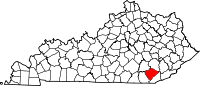
CDPs Categories:- National Register of Historic Places in Kentucky by county
- Knox County, Kentucky
-


Wikimedia Foundation. 2010.