- National Register of Historic Places listings in Calloway County, Kentucky
-
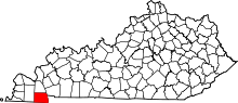 Location of Calloway County in Kentucky
This is a list of the National Register of Historic Places listings in Calloway County, Kentucky. It is intended to be a complete list of the properties and districts on the National Register of Historic Places in Calloway County, Kentucky, United States. The locations of National Register properties and districts for which the latitude and longitude coordinates are included below, may be seen in a Google map.[1]
There are approximately 16 properties and districts listed on the National Register in the county.
-
- This National Park Service list is complete through NPS recent listings posted November 10, 2011.[2]
Listings county-wide
[3] Landmark name Image Date listed Location City or town Summary 1 Archeological Site 15CW64 July 11, 1985 Address Restricted Backusburg 2 Calloway County Courthouse 
February 19, 1986 Town Sq.
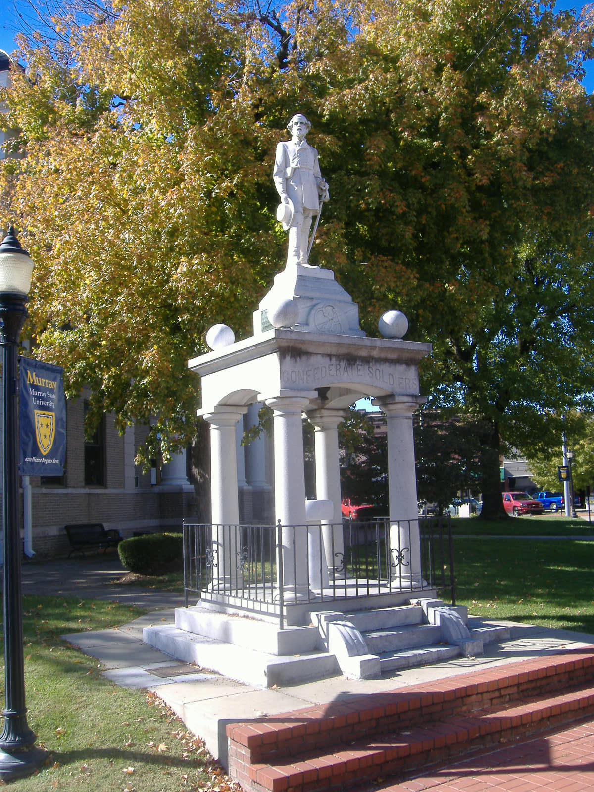
36°36′37″N 88°18′08″W / 36.610278°N 88.302222°WMurray 3 Confederate Monument in Murray 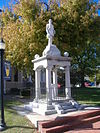
July 17, 1997 Junction of KY 94 and KY 121
36°36′36″N 88°18′18″W / 36.61°N 88.305°WMurray 4 Edwin S. Diuguid House May 17, 1976 601 W. Main St.
36°36′38″N 88°18′15″W / 36.610556°N 88.304167°WMurray 5 First Baptist Church February 19, 1986 203 S. 4th St.
36°36′33″N 88°18′05″W / 36.609167°N 88.301389°WMurray 6 First Christian Church 
February 19, 1986 111 N. 5th St.
36°36′41″N 88°18′11″W / 36.611389°N 88.303056°WMurray 7 Fort Heiman Site December 12, 1976 1.6 miles southeast of New Concord off Fort Heiman Rd.
36°30′00″N 88°03′23″W / 36.5°N 88.056389°WNew Concord 8 Will Linn House December 4, 1980 103 N. 6th St.
36°36′40″N 88°18′17″W / 36.611111°N 88.304722°WMurray 9 Main Street Historic District February 19, 1986 700 and 800 blocks of W. Main St.
36°36′37″N 88°18′21″W / 36.610278°N 88.305833°WMurray 10 Murray Commercial Historic District June 24, 2003 Roughly bounded by Walnut St., L.P. Miller St., Poplar St. and 6th St.
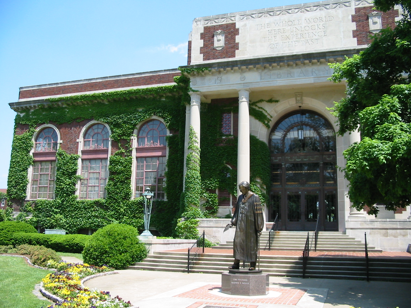
36°36′37″N 88°18′10″W / 36.610278°N 88.302778°WMurray 11 Murray State University Historic Buildings 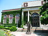
August 3, 1978 15th, 16th, and Main Sts., including the Murray State University campus
36°36′40″N 88°19′23″W / 36.611111°N 88.323056°WMurray 12 The Murray Woman's Club Clubhouse November 10, 2011 704 Vine St.
36°36′21″N 88°18′21″W / 36.605833°N 88.305833°WMurray 13 National Hotel February 19, 1986 N. 6th and Main Sts.
36°36′38″N 88°18′14″W / 36.610556°N 88.303889°WMurray 14 Old Normal School Building 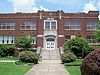
June 11, 1975 Murray State University campus
36°36′39″N 88°19′25″W / 36.610833°N 88.323611°WMurray 15 Seclusaval June 10, 1975 8 miles east of Murray on KY 614
36°34′39″N 88°09′17″W / 36.5775°N 88.154722°WMurray 16 US Post Office-Murray February 19, 1986 Maple and S. 4th St.
36°36′35″N 88°18′06″W / 36.609722°N 88.301667°WMurray See also
- List of National Historic Landmarks in Kentucky
- National Register of Historic Places listings in Kentucky
References
- ^ The latitude and longitude information provided in this table was derived originally from the National Register Information System, which has been found to be fairly accurate for about 99% of listings. For about 1% of NRIS original coordinates, experience has shown that one or both coordinates are typos or otherwise extremely far off; some corrections may have been made. A more subtle problem causes many locations to be off by up to 150 yards, depending on location in the country: most NRIS coordinates were derived from tracing out latitude and longitudes off of USGS topographical quadrant maps created under the North American Datum of 1927, which differs from the current, highly accurate WGS84 GPS system used by Google maps. Chicago is about right, but NRIS longitudes in Washington are higher by about 4.5 seconds, and are lower by about 2.0 seconds in Maine. Latitudes differ by about 1.0 second in Florida. Some locations in this table may have been corrected to current GPS standards.
- ^ "National Register of Historic Places: Weekly List Actions". National Park Service, United States Department of the Interior. Retrieved on November 10, 2011.
- ^ Numbers represent an ordering by significant words. Various colorings, defined here, differentiate National Historic Landmark sites and National Register of Historic Places Districts from other NRHP buildings, structures, sites or objects.
U.S. National Register of Historic Places Topics Lists by states Alabama • Alaska • Arizona • Arkansas • California • Colorado • Connecticut • Delaware • Florida • Georgia • Hawaii • Idaho • Illinois • Indiana • Iowa • Kansas • Kentucky • Louisiana • Maine • Maryland • Massachusetts • Michigan • Minnesota • Mississippi • Missouri • Montana • Nebraska • Nevada • New Hampshire • New Jersey • New Mexico • New York • North Carolina • North Dakota • Ohio • Oklahoma • Oregon • Pennsylvania • Rhode Island • South Carolina • South Dakota • Tennessee • Texas • Utah • Vermont • Virginia • Washington • West Virginia • Wisconsin • WyomingLists by territories Lists by associated states Other Municipalities and communities of Calloway County, Kentucky Cities 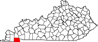 Categories:
- National Register of Historic Places in Kentucky by county
- Calloway County, Kentucky
-


Wikimedia Foundation. 2010.