- National Register of Historic Places listings in Grayson County, Kentucky
-
 Location of Grayson County in Kentucky
This is a list of the National Register of Historic Places listings in Grayson County, Kentucky. It is intended to be a complete list of the properties and districts on the National Register of Historic Places in Grayson County, Kentucky, United States. The locations of National Register properties and districts for which the latitude and longitude coordinates are included below, may be seen in a Google map.[1]
There are approximately 11 properties and districts listed on the National Register in the county.
-
- This National Park Service list is complete through NPS recent listings posted November 10, 2011.[2]
Listings county-wide
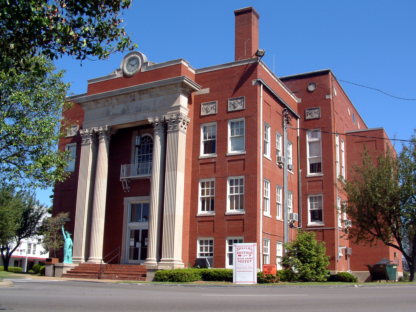
[3] Landmark name Image Date listed Location City or town Summary 1 The Cedars May 17, 1976 East of Leitchfield on KY 1214
37°28′28″N 86°15′26″W / 37.474444°N 86.257222°WLeitchfield 2 Court Square Historic District 
November 23, 1984 Court House Square between Walnut and Market Sts.; also 106 and 104 N. Main
37°28′51″N 86°17′38″W / 37.480833°N 86.293889°WLeitchfield Addresses on N. Main St. are a boundary increase 3 Crow Hollow Petroglyphs (15GY65) September 8, 1989 Address Restricted Clarkson 4 Falls of Rough Historic District January 31, 1978 KY 110
37°35′21″N 86°33′12″W / 37.589167°N 86.553333°WFalls of Rough 5 Grayson Springs December 6, 1978 South of Clarkson
37°27′34″N 86°13′30″W / 37.459444°N 86.225°WClarkson 6 Hunter House May 16, 1985 118 W. Walnut St.
37°28′53″N 86°17′42″W / 37.481389°N 86.295°WLeitchfield 7 St. Augustine Catholic Church April 7, 1989 KY 88
37°27′01″N 86°13′57″W / 37.450278°N 86.2325°WGrayson Springs 8 Saltsman Branch Petroglyphs (15GY66) September 8, 1989 Address Restricted Moutardier 9 Saltsman Branch Shelter Petroglyphs (15GY67) September 8, 1989 Address Restricted Moutardier 10 Jack Thomas House 
April 21, 1976 108 E. Main St.
37°28′48″N 86°17′33″W / 37.48°N 86.2925°WLeitchfield 11 Walnut Grove School February 2, 1988 Walnut Grove Rd.
37°26′40″N 86°30′17″W / 37.444444°N 86.504722°WCaneyville See also
- List of National Historic Landmarks in Kentucky
- National Register of Historic Places listings in Kentucky
References
- ^ The latitude and longitude information provided in this table was derived originally from the National Register Information System, which has been found to be fairly accurate for about 99% of listings. For about 1% of NRIS original coordinates, experience has shown that one or both coordinates are typos or otherwise extremely far off; some corrections may have been made. A more subtle problem causes many locations to be off by up to 150 yards, depending on location in the country: most NRIS coordinates were derived from tracing out latitude and longitudes off of USGS topographical quadrant maps created under North American Datum of 1927, which differs from the current, highly accurate GPS system used by Google maps. Chicago is about right, but NRIS longitudes in Washington are higher by about 4.5 seconds, and are lower by about 2.0 seconds in Maine. Latitudes differ by about 1.0 second in Florida. Some locations in this table may have been corrected to current GPS standards.
- ^ "National Register of Historic Places: Weekly List Actions". National Park Service, United States Department of the Interior. Retrieved on November 10, 2011.
- ^ Numbers represent an ordering by significant words. Various colorings, defined here, differentiate National Historic Landmark sites and National Register of Historic Places Districts from other NRHP buildings, structures, sites or objects.
U.S. National Register of Historic Places Topics Lists by states Alabama • Alaska • Arizona • Arkansas • California • Colorado • Connecticut • Delaware • Florida • Georgia • Hawaii • Idaho • Illinois • Indiana • Iowa • Kansas • Kentucky • Louisiana • Maine • Maryland • Massachusetts • Michigan • Minnesota • Mississippi • Missouri • Montana • Nebraska • Nevada • New Hampshire • New Jersey • New Mexico • New York • North Carolina • North Dakota • Ohio • Oklahoma • Oregon • Pennsylvania • Rhode Island • South Carolina • South Dakota • Tennessee • Texas • Utah • Vermont • Virginia • Washington • West Virginia • Wisconsin • WyomingLists by territories Lists by associated states Other  Category:National Register of Historic Places •
  Portal:National Register of Historic Places
Municipalities and communities of Grayson County, Kentucky County seat: Leitchfield Cities 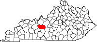
Unincorporated
communitiesBig Clifty | Pine Knob | Tar Hill
Categories:- National Register of Historic Places in Kentucky by county
- Grayson County, Kentucky
-


Wikimedia Foundation. 2010.