- National Register of Historic Places listings in Calumet County, Wisconsin
-
Buildings, sites, districts, and objects in Calumet County listed on the National Register of Historic Places
-
- This National Park Service list is complete through NPS recent listings posted November 10, 2011.[1]
This document is intended to provide a comprehensive listing of entries in the National Register of Historic Places that are located in Calumet County, Wisconsin. The locations of National Register properties, the latitude and longitude coordinates of which are included below, may be seen in a Google map.[2]
[3] Landmark name [4] Image Date listed Location City or town Summary 1 Aebischer Site (47CT30) 
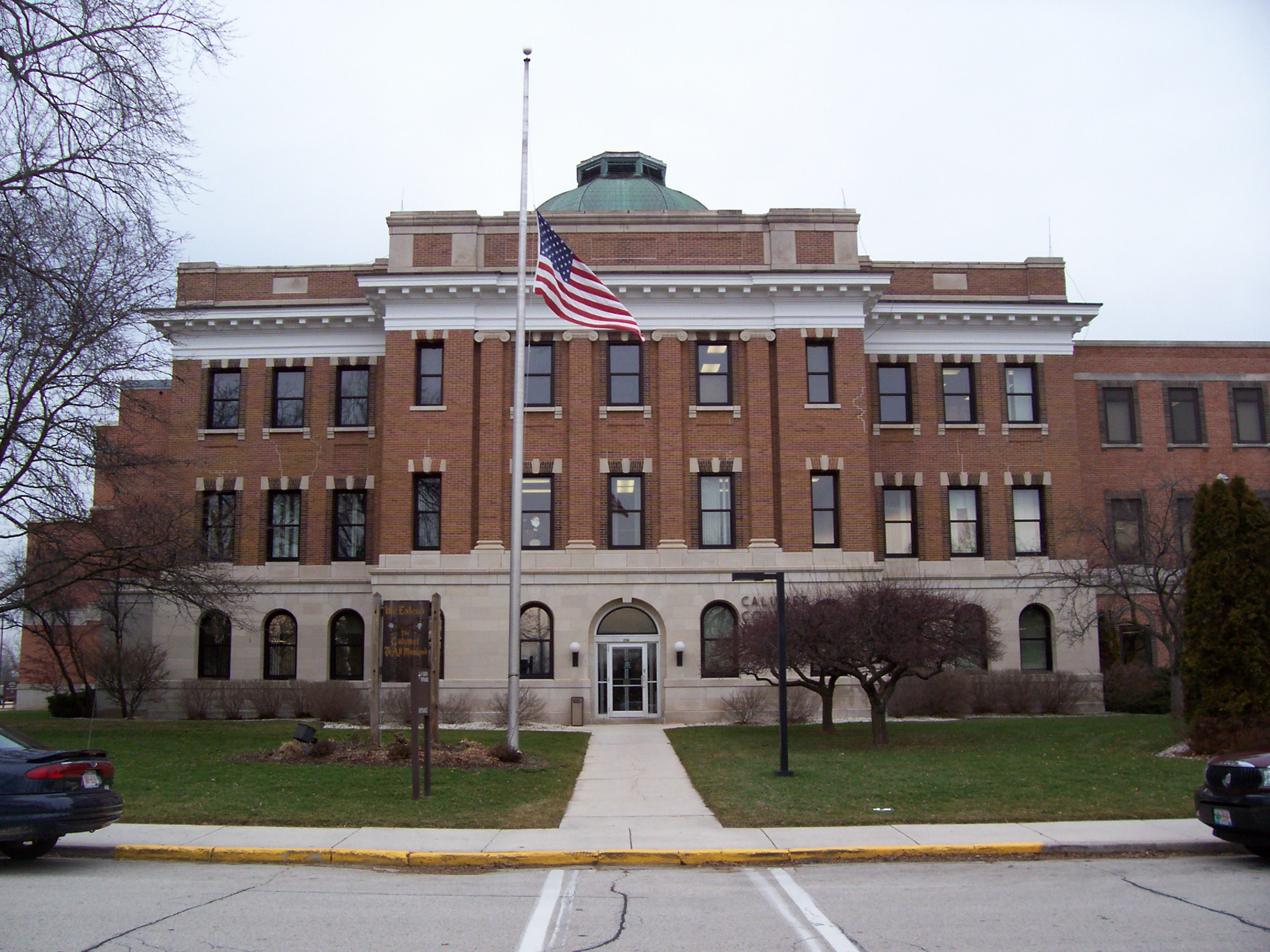
October 10, 1985 Address Restricted Chilton 2 Calumet County Courthouse 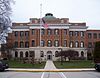
March 9, 1982 206 Court St.
44°01′48″N 88°10′06″W / 44.03°N 88.168333°WChilton 3 Calumet County Park Group 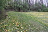
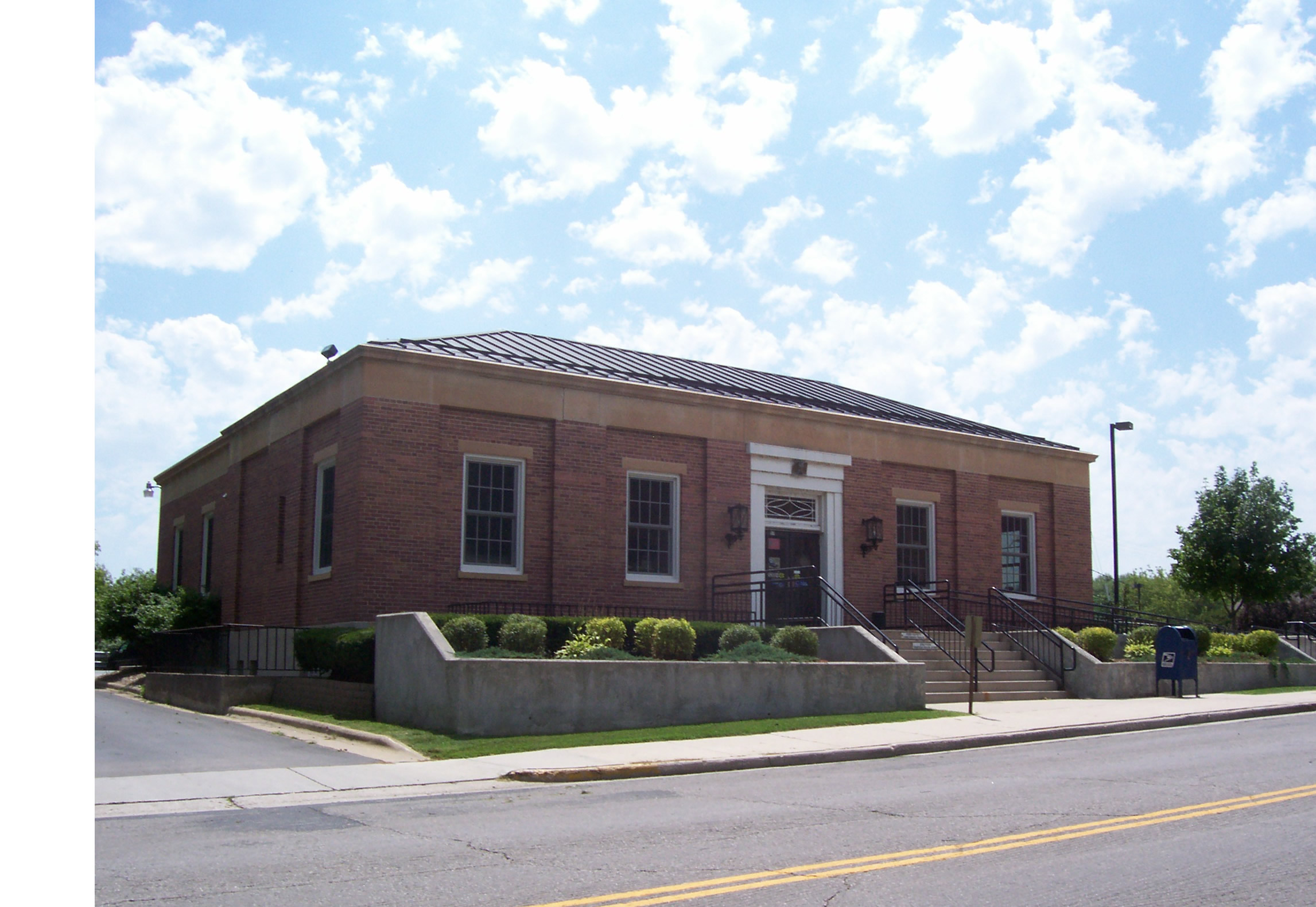
December 29, 1997 Address Restricted Hilbert Calumet County Park near Stockbridge 4 Chilton Post Office 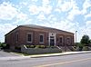
October 24, 2000 57 E. Main St.
44°01′45″N 88°09′41″W / 44.029167°N 88.161389°WChilton 5 Haese Memorial Village Historic District 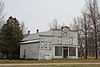
March 2, 1982 Milwaukee and Randolph Sts
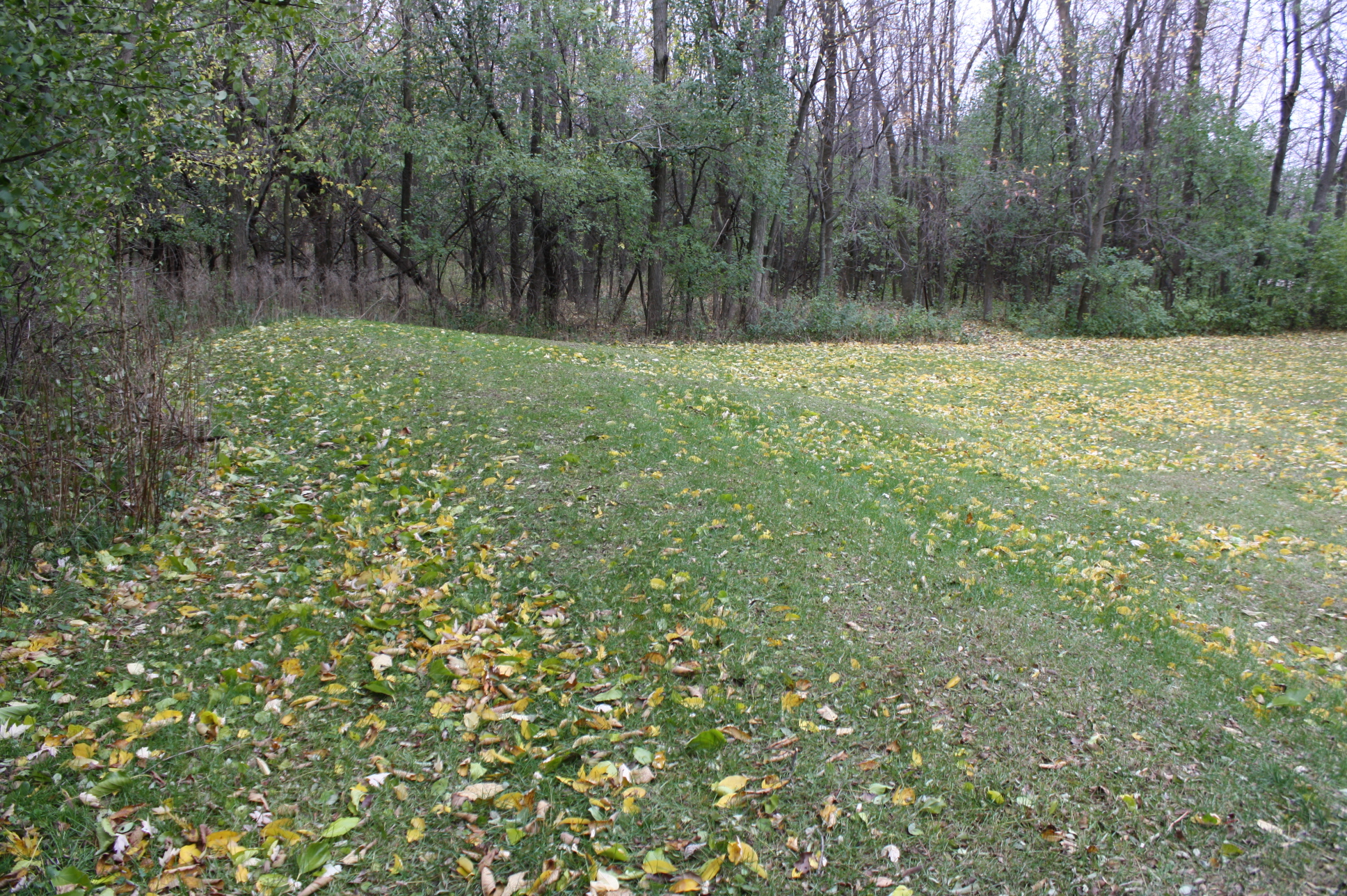
44°12′28″N 88°08′32″W / 44.207778°N 88.142222°WForest Junction 6 High Cliff Mounds 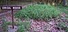
January 25, 1997 Address Restricted Sherwood High Cliff State Park 7 Ridge Group December 8, 1978 Address Restricted Chilton 8 Stockbridge Harbor 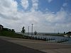
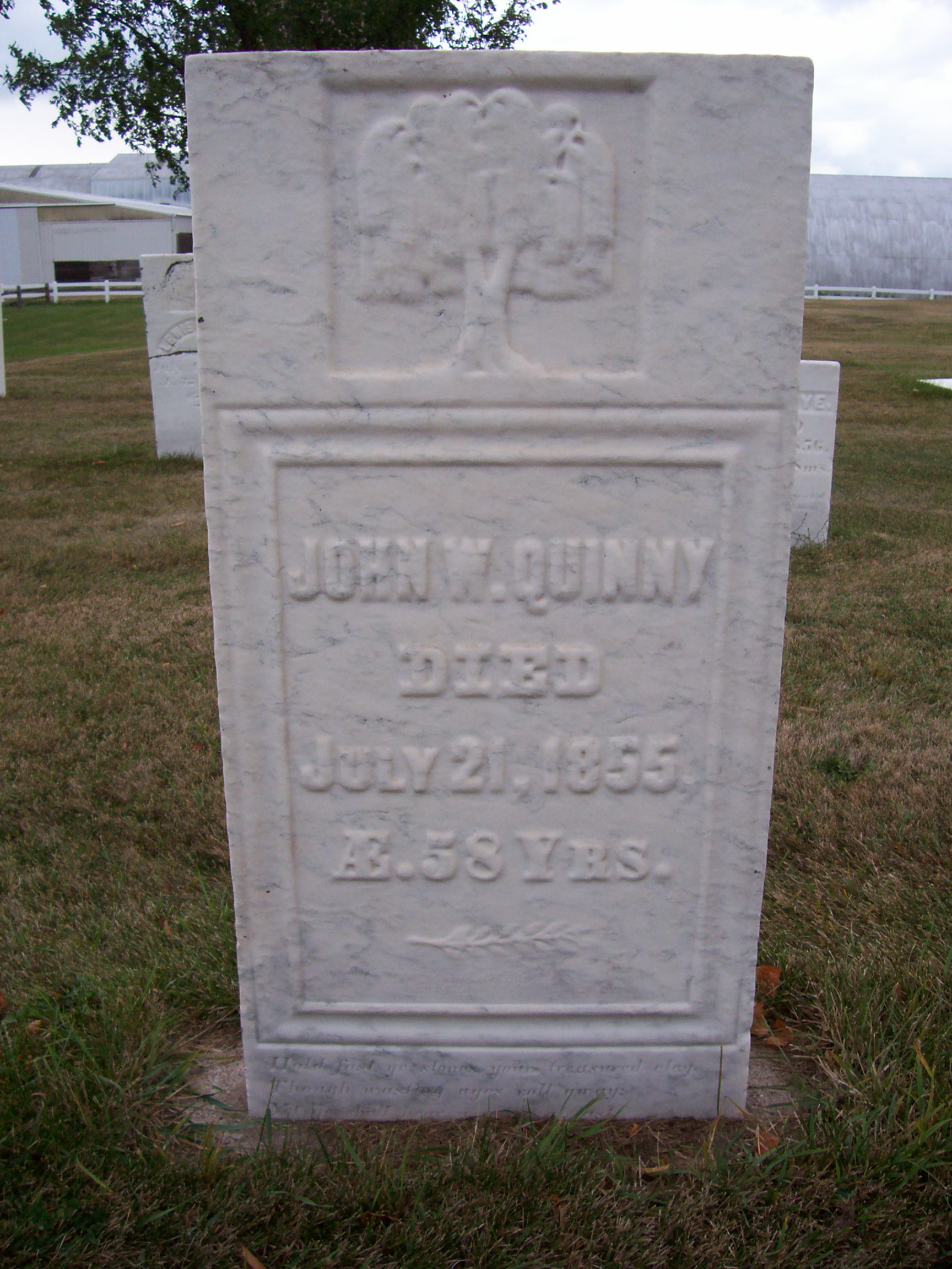
September 3, 1998 Address Restricted Stockbridge 9 Stockbridge Indian Cemetery 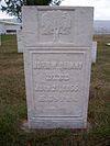
October 22, 1980 N of Stockbridge off WI 55
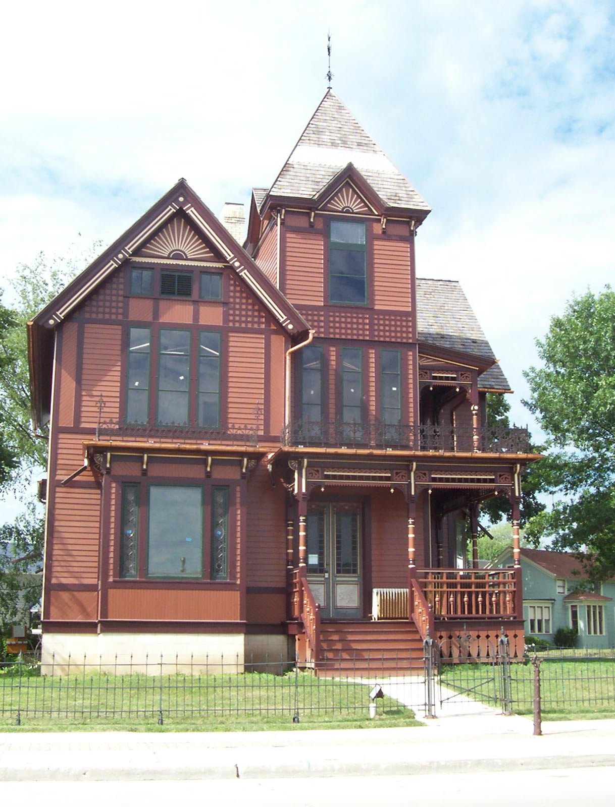
44°04′56″N 88°18′03″W / 44.082222°N 88.300833°WStockbridge 10 Herman C. Timm House 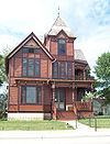
July 5, 1996 1600 Main St.
43°57′01″N 88°05′07″W / 43.950278°N 88.085278°WNew Holstein References
- ^ "National Register of Historic Places: Weekly List Actions". National Park Service, United States Department of the Interior. Retrieved on November 10, 2011.
- ^ The latitude and longitude information provided is primarily from the National Register Information System, and has been found to be fairly accurate for about 99% of listings. For 1%, the location info may be way off. We seek to correct the coordinate information wherever it is found to be erroneous. Please leave a note in the Discussion page for this article if you believe any specific location is incorrect.
- ^ Numbers represent an ordering by significant words. Various colorings, defined here, differentiate National Historic Landmark sites and National Register of Historic Places Districts from other NRHP buildings, structures, sites or objects.
- ^ "National Register Information System". National Register of Historic Places. National Park Service. . http://nrhp.focus.nps.gov/natreg/docs/All_Data.html.
Municipalities and communities of Calumet County, Wisconsin Cities 
Villages Hilbert | Potter | Sherwood | Stockbridge
Towns Brillion | Brothertown | Charlestown | Chilton | Harrison | New Holstein | Rantoul | Stockbridge | Woodville
CDP Unincorporated
communitiesBrant | Brothertown | Calumetville‡ | Charlesburg | Darboy‡ | Dundas | Eckers Lakeland | Harrison | Hayton | Highland Beach | Kloten | Jericho | Maple Heights | Meggers‡ | Quinney | Saint Catherines Bay | St. Anna‡ | St. John | Waverly Beach‡ | Wells‡
Footnotes ‡This populated place also has portions in an adjacent county or counties
U.S. National Register of Historic Places Topics Lists by states Alabama • Alaska • Arizona • Arkansas • California • Colorado • Connecticut • Delaware • Florida • Georgia • Hawaii • Idaho • Illinois • Indiana • Iowa • Kansas • Kentucky • Louisiana • Maine • Maryland • Massachusetts • Michigan • Minnesota • Mississippi • Missouri • Montana • Nebraska • Nevada • New Hampshire • New Jersey • New Mexico • New York • North Carolina • North Dakota • Ohio • Oklahoma • Oregon • Pennsylvania • Rhode Island • South Carolina • South Dakota • Tennessee • Texas • Utah • Vermont • Virginia • Washington • West Virginia • Wisconsin • WyomingLists by territories Lists by associated states Other Categories:- Calumet County, Wisconsin
- Lists of historic places in Wisconsin
-


Wikimedia Foundation. 2010.