- High Cliff State Park
Infobox nrhp
name = High Cliff Mounds
nrhp_type =
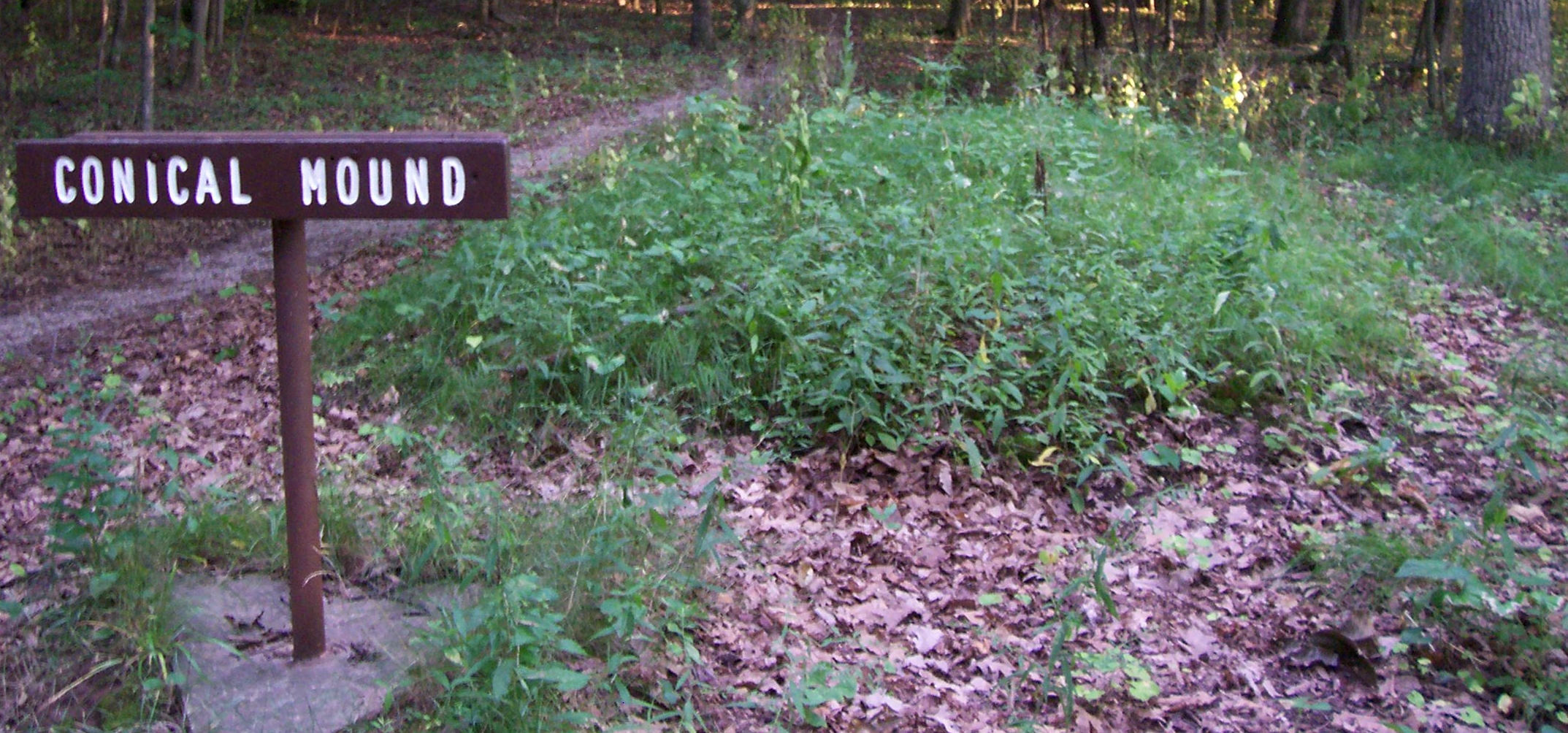
caption = Conicaleffigy mound
location =Sherwood, Wisconsin , USA
nearest_city =
lat_degrees =
lat_minutes =
lat_seconds =
lat_direction =
long_degrees =
long_minutes =
long_seconds =
long_direction =
area =
built = 500 - 1500A.D.
architect =
architecture =
added =January 25 1997 cite web|url=http://www.nr.nps.gov/|title=National Register Information System|date=2008-04-15|work=National Register of Historic Places|publisher=National Park Service]
visitation_num =
visitation_year =
refnum = 96001629
mpsub =
governing_body = StateHigh Cliff State Park is a convert|1145|acre|km2|sing=on
Wisconsin state park nearSherwood, Wisconsin . It is the only state-owned recreation area located onLake Winnebago . [http://www.dnr.state.wi.us/org/land/parks/specific/highcliff/ High Cliff State Park] official website, RetrievedAugust 9 2007 ] The park was established in 1956.The park got its name from cliffs of the
Niagara Escarpment , a land formation east of the shore of Lake Winnebago. The formation stretches north through northeast Wisconsin,Upper Michigan ,Ontario , toNiagara Falls . The north shoreline of Lake Winnebago is visible from a 40 foot tall observation tower at the top of the escarpment. The park currently features a picnic area, a boat launch, and a beach. Activities include camping, hiking, horse riding, skiing, and picnicing.Effigy mound s at the top of the escarpment have led to a small part of the park being added to theNational Register of Historic Places , listed as High Cliff Mounds. A trail meanders though six long-tailed mounds and several conical mounds.cite book|last=Birmingham|first=Robert A.|coauthors=Eisenberg, Leslie E.|title=Indian Mounds of Wisconsin|publisher=University of Wisconsin Press|date=2000|pages=page 194|isbn=0299168743| url=http://books.google.com/books?id=wPNA_SnfrZ0C&pg=PA194&lpg=PA194&dq=%22calumet+county+park%22+mounds&source=web&ots=4bSWUD-eyI&sig=CmupxWVtnnEcVzVcmwgItyF9-hA&hl=en&sa=X&oi=book_result&resnum=7&ct=result |accessdate=2008-09-29] The group originally consisted of a bird and a mound that was most likely a bear. The mounds are consistent with other mound groups found at the peak of the Niagara Escarpment along the eastern shore of Lake Winnebago, including theCalumet County Park Group .References
External links
* [http://www.dnr.state.wi.us/org/land/parks/specific/highcliff/ High Cliff State Park] official website
Wikimedia Foundation. 2010.