- Morphy Lake State Park
-
Morphy Lake State Park New Mexico State Park Country  United States
State  New Mexico
County Mora Location Ledoux - elevation 8,000 ft (2,438 m) - coordinates 35°56′31″N 105°23′51″W / 35.94194°N 105.3975°W Area 30 acres (12.1 ha) Founded 1965 [1] Management New Mexico State Parks Division Owner Ledoux Water Association [1] 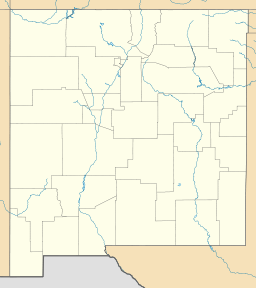
 Location of Morphy Lake State Park in New Mexico
Morphy Lake State Park is a state park of New Mexico, USA, located 7 miles (11 km) southwest of Mora in the Sangre de Cristo Mountains.[2] The park is one of New Mexico's smaller state parks, at only 30 acres (120,000 m2), and the lake has a surface area of approximately 15 acres (61,000 m2).
The park is popular for fishing, camping, and picnicking, However there is no running water, so visitors must pack their own. The lake is stocked with trout, and kokanee salmon. Boats are allowed on the lake, but no gas powered motors are allowed. Its high altitude (8,000 ft) and location in northern New Mexico cause the lake to freeze over in the winter, allowing ice fishing to take place.
References
- ^ a b "Morphy Lake State Park Management and Development Plan". http://www.emnrd.state.nm.us/PRD/documents/MorphyLakeStatePark.pdf. Retrieved January 12, 2011.
- ^ New Mexico State Parks Division. "Morphy Lake State Park". New Mexico Energy, Minerals and Natural Resources Department. http://www.emnrd.state.nm.us/PRD/MorphyLake.htm.
External links
Categories:- New Mexico state parks
- Parks in Mora County, New Mexico
- Protected areas established in 1965

Wikimedia Foundation. 2010.