- Clayton, New Mexico
-
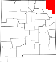
Clayton, New Mexico — Town — Main Street in Clayton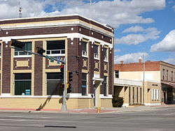 Location of Clayton, New Mexico
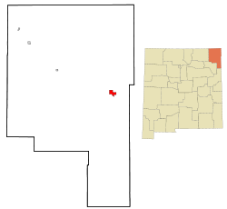
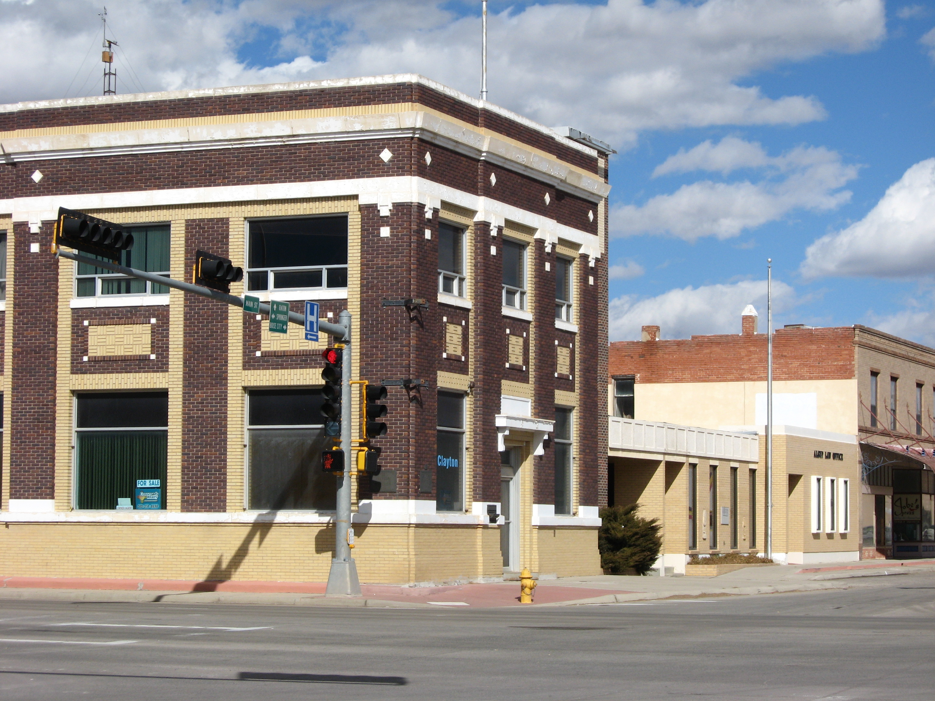
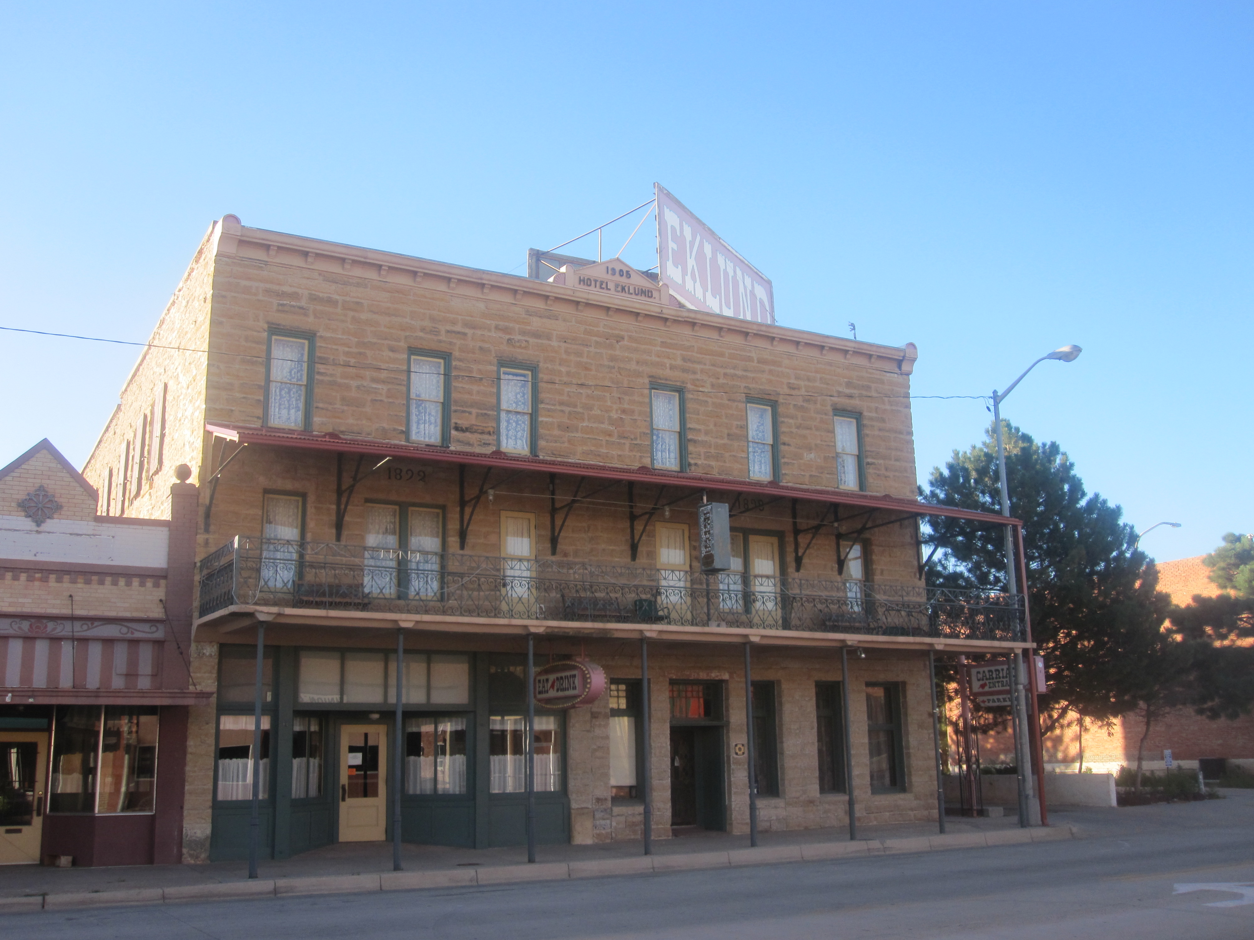
Coordinates: 36°26′59″N 103°10′51″W / 36.44972°N 103.18083°WCoordinates: 36°26′59″N 103°10′51″W / 36.44972°N 103.18083°W Country United States State New Mexico County Union Area - Total 4.7 sq mi (12.2 km2) - Land 4.7 sq mi (12.2 km2) - Water 0.0 sq mi (0.0 km2) Elevation 5,056 ft (1,541 m) Population (2000) - Total 2,524 - Density 535.7/sq mi (206.8/km2) Time zone Mountain (MST) (UTC-7) - Summer (DST) MDT (UTC-6) ZIP code 88415 Area code(s) 575 FIPS code 35-15720 GNIS feature ID 0905193  Eklund Hotel (established 1905) in downtown Clayton
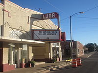 Luna Theater in Clayton
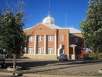 Union County Courthouse in Clayton
Clayton is a town in Union County, New Mexico, United States. The population was 2,524 at the 2000 census. It is the county seat of Union County[1]. Tourists heading from Texas to Colorado often pass through Clayton, which is located in the northeast corner of New Mexico.
Clayton is named for a son of U.S. Senator Stephen W. Dorsey, an Arkansas Republican, originally from Ohio, who served during Reconstruction. The town was established in 1887. Trade caravans and homesteaders traveling through the Cimarron Cutoff of the Santa Fe Trail passed through Clayton. The town was a livestock shipping center for herds from the Pecos River and the Texas Panhandle.[2]
Contents
Geography and climate
Clayton is located at 36°26′59″N 103°10′51″W / 36.44972°N 103.18083°W (36.449835, -103.180756)[3].
According to the United States Census Bureau, the town has a total area of 7 square miles (18 km2).
Monthly Normal and Record High and Low Temperatures Month Jan Feb Mar Apr May Jun Jul Aug Sep Oct Nov Dec Rec High °F 80 81 86 91 99 104 102 102 99 93 85 83 Norm High °F 47.4 51.5 58.2 66.1 74.2 83.9 87.4 85.1 77.9 68.5 55.7 48 Norm Low °F 20.3 23.7 29.2 37.2 46.7 55.9 60.2 59.2 51.5 40.6 28.7 21.6 Rec Low °F -21 -17 -11 9 23 37 45 45 26 12 -10 -14 Precip (in) 0.3 0.27 0.62 0.99 2.08 2.21 2.81 2.69 1.56 0.74 0.54 0.32 Source: USTravelWeather.com [1] Demographics
As of the census[4] of 2010, there were 2,988 people, 1,079 households, and 691 families residing in the town. The population density was 535.7 people per square mile (206.9/km²). There were 1,289 housing units at an average density of 273.6 per square mile (105.7/km²). The racial makeup of the town was 75.36% White, 1.07% Native American, 0.16% Asian, 0.20% Pacific Islander, 20.44% from other races, and 2.77% from two or more races. Hispanic or Latino of any race were 46.47% of the population.
There were 1,079 households out of which 30.5% had children under the age of 18 living with them, 47.6% were married couples living together, 11.7% had a female householder with no husband present, and 35.9% were non-families. 33.7% of all households were made up of individuals and 18.2% had someone living alone who was 65 years of age or older. The average household size was 2.32 and the average family size was 2.99.
In the town the population was spread out with 27.7% under the age of 18, 6.3% from 18 to 24, 23.8% from 25 to 44, 23.6% from 45 to 64, and 18.7% who were 65 years of age or older. The median age was 40 years. For every 100 females there were 95.7 males. For every 100 females age 18 and over, there were 92.4 males.
The median income for a household in the town was $25,600, and the median income for a family was $30,109. Males had a median income of $26,554 versus $17,054 for females. The per capita income for the town was $13,967. About 14.2% of families and 17.9% of the population were below the poverty line, including 31.4% of those under age 18 and 9.1% of those age 65 or over.
Community
Clayton holds a parade each Independence Day. The community also hosts two museums. The Herzstein Memorial Museum, run by the Union County Historical Society, is open without charge Tuesdays through Saturdays and by appointment. An official interpretative center of the Santa Fe Trail, the Herzstein focuses upon county and regional history.[5] The Works Progress Administration Museum at Clayton High School is open by appointment only. Clayton Lake State Park, featuring a fishing lake and an extensive trackway of fossilized dinosaur footprints, is located 15 miles (24 km) north of town.
Government
- Mayor: Jack Chosvig
- City Council Members:
-
- Tony Naranjo
- Noel Allen
- Coby Beckner
- Leroy Montoya[6]
[7] Chief of police:Scott Julian
References
- ^ "Find a County". National Association of Counties. http://www.naco.org/Counties/Pages/FindACounty.aspx. Retrieved 2011-06-07.
- ^ Historical marker in Clayton, New Mexico
- ^ "US Gazetteer files: 2010, 2000, and 1990". United States Census Bureau. 2011-02-12. http://www.census.gov/geo/www/gazetteer/gazette.html. Retrieved 2011-04-23.
- ^ "American FactFinder". United States Census Bureau. http://factfinder.census.gov. Retrieved 2008-01-31.
- ^ Herzstein Memorial Museum website, Clayton, New Mexico:http://www.herzsteinmuseum.org/
- ^ http://www.claytonnewmexico.net/toc.html
- ^ Author, Brian . (2008). "http://claytonnewmexico.net/toc.html".
External links
Municipalities and communities of Union County, New Mexico County seat: Clayton Town Clayton
Villages Unincorporated
communitiesAmistad | Gladstone | Sofia
Categories:- County seats in New Mexico
- Towns in New Mexico
- Populated places in Union County, New Mexico


Wikimedia Foundation. 2010.