- Amistad, New Mexico
Infobox Settlement
official_name = Amistad, New Mexico
settlement_type = Unincorporated comumunity
nickname =
motto =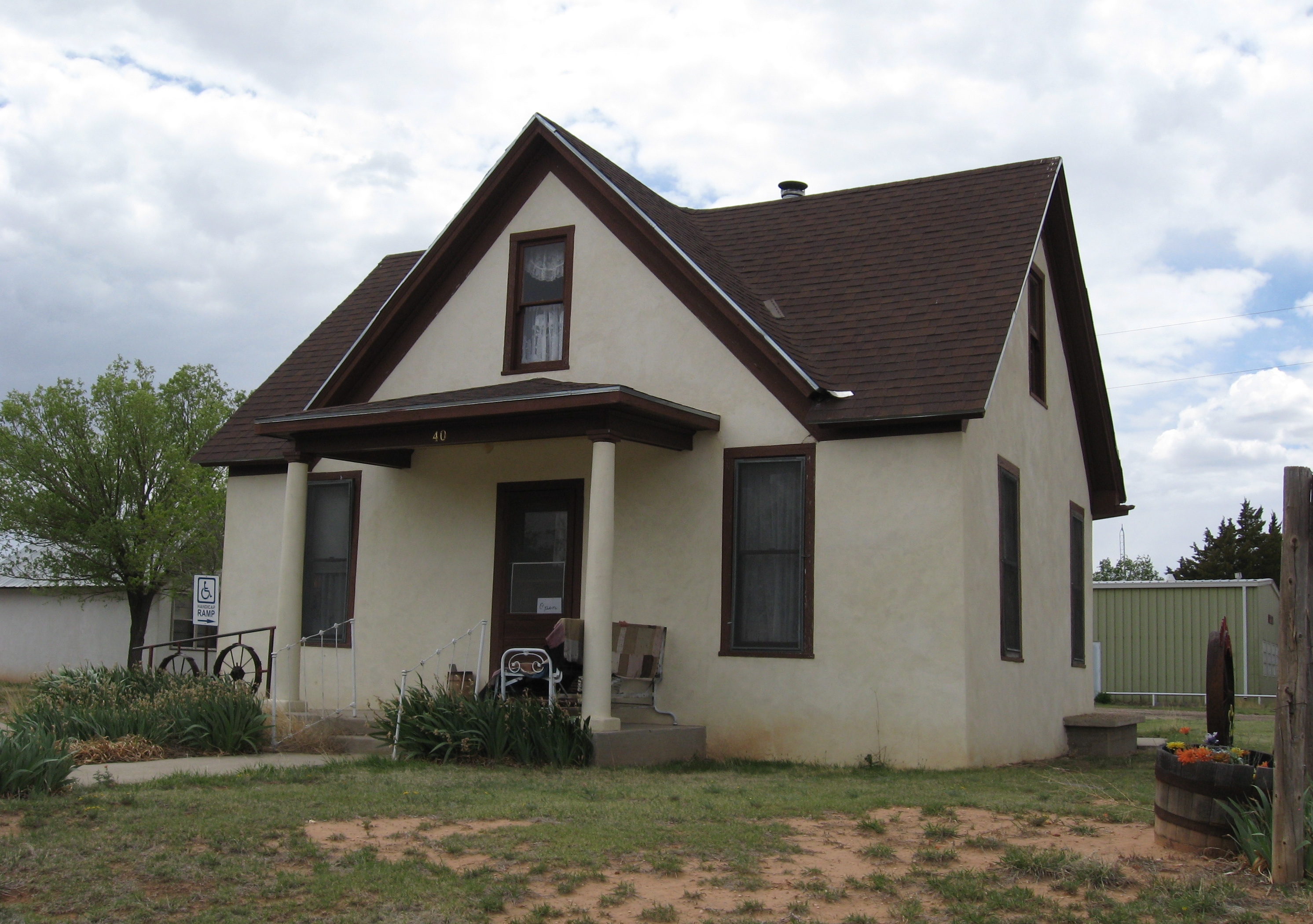
imagesize = 250px
image_caption = Amistad Museum
image_
mapsize =
map_caption =
mapsize1 =
map_caption1 =subdivision_type = Country
subdivision_name =United States
subdivision_type1 = State
subdivision_name1 =New Mexico
subdivision_type2 = County
subdivision_name2 = Union
government_footnotes =
government_type =
leader_title =
leader_name =
leader_title1 =
leader_name1 =
established_title =
established_date =unit_pref = Imperial
area_footnotes =area_magnitude =
area_total_km2 =
area_land_km2 =
area_water_km2 =
area_total_sq_mi =
area_land_sq_mi =
area_water_sq_mi =population_as_of =
population_footnotes =
population_total =
population_density_km2 =
population_density_sq_mi =timezone = MST
utc_offset = -7
timezone_DST = MDT
utc_offset_DST = -6
elevation_footnotes =
elevation_m =
elevation_ft =
latd = |latm = |lats = |latNS =
longd = |longm = |longs = |longEW =postal_code_type =
ZIP Code
postal_code = 88410
area_code = 575
blank_name =
blank_info =
blank1_name =
blank1_info =
website =
footnotes =Amistad is a small unincorporated community in
Union County, New Mexico , U.S. It is located about 39 miles south of Clayton onNew Mexico State Highway 402 .History
Amistad was a stop for cattle drives during the late 1800s. In 1906, Henry S. Wannamaker, a Congregational minister, promoted homesteading by placing ads in church newspapers. This led to more than 40 older ministers staking claims in Amistad. [ [http://www.nenewmexico.com/counties.php?p=63 Land of Enchantment Tourist Department: Northeast New Mexico] ]
ee also
*
Amistad Gymnasium References
Wikimedia Foundation. 2010.