- Mesilla Valley Bosque State Park
-
Mesilla Valley Bosque State Park New Mexico State Park Country  United States
State  New Mexico
County Doña Ana Location Mesilla - elevation 3,900 ft (1,189 m) - coordinates 32°19′0″N 106°45′0″W / 32.316667°N 106.75°W Area 305 acres (123.4 ha) Founded 2003 Management New Mexico State Parks Division 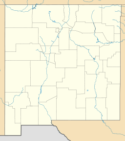
 Location of Mesilla Valley Bosque State Park in New Mexico
Mesilla Valley Bosque State Park is a state park of New Mexico, USA, preserving a riverside forest (a bosque) along the Rio Grande. The park is located near Las Cruces and just west of Mesilla.[1] The park itself encompasses approximately 305 acres (1.23 km2), at an elevation of 3,900 feet (1,200 m).
The park consists of river woodlands and restored wetlands. It is used by migratory birds, and is popular for birdwatching, walking, and bicycling. It is a day-use only park, and camping is not allowed.
An active Friends of Mesilla Valley Bosque State Park group exists to contribute to the park's restoration, recreation, and education missions.
References
- ^ New Mexico State Parks Division. "Mesilla Valley Bosque State Park". New Mexico Energy, Minerals and Natural Resources Department. http://www.emnrd.state.nm.us/PRD/MesillaValley.htm.
External links
Categories:- New Mexico state parks
- Parks in Doña Ana County, New Mexico
- Protected areas established in 2003
- Rio Grande

Wikimedia Foundation. 2010.