- Manzano Mountains State Park
-
Manzano Mountains State Park New Mexico State Park Country  United States
State  New Mexico
County Torrance Location Mountainair - elevation 7,600 ft (2,316 m) - coordinates 34°36′12″N 106°21′41″W / 34.60333°N 106.36139°W Area 160 acres (64.7 ha) Founded 1973 [1] Management New Mexico State Parks Division 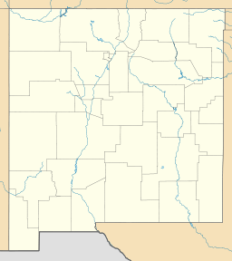
 Location of Manzano Mountains State Park in New Mexico
Manzano Mountains State Park is a state park of New Mexico, USA, located 16 miles (26 km) north of Mountainair on the eastern slope of the Manzano Mountains.[2] The park is popular for fishing, bird-watching, hiking, and cross-country skiing.
The Manzano Mountains are a part of the same geological feature that formed the Sandia Mountains to the north, but the Manzano Mountains are more remote and less developed.
References
- ^ "Manzano Mountains State Park Management Plan 2004-2008". April 2004. http://www.emnrd.state.nm.us/PRD/documents/ManzanoStatePark.pdf. Retrieved January 11, 2011.
- ^ New Mexico State Parks Division. "Manzano Mountains State Park". New Mexico Energy, Minerals and Natural Resources Department. http://www.emnrd.state.nm.us/PRD/Manzano.htm.
External links
Categories:- New Mexico state parks
- Parks in Torrance County, New Mexico
- Protected areas established in 1973

Wikimedia Foundation. 2010.