- Copper Culture State Park
-
Oconto Site
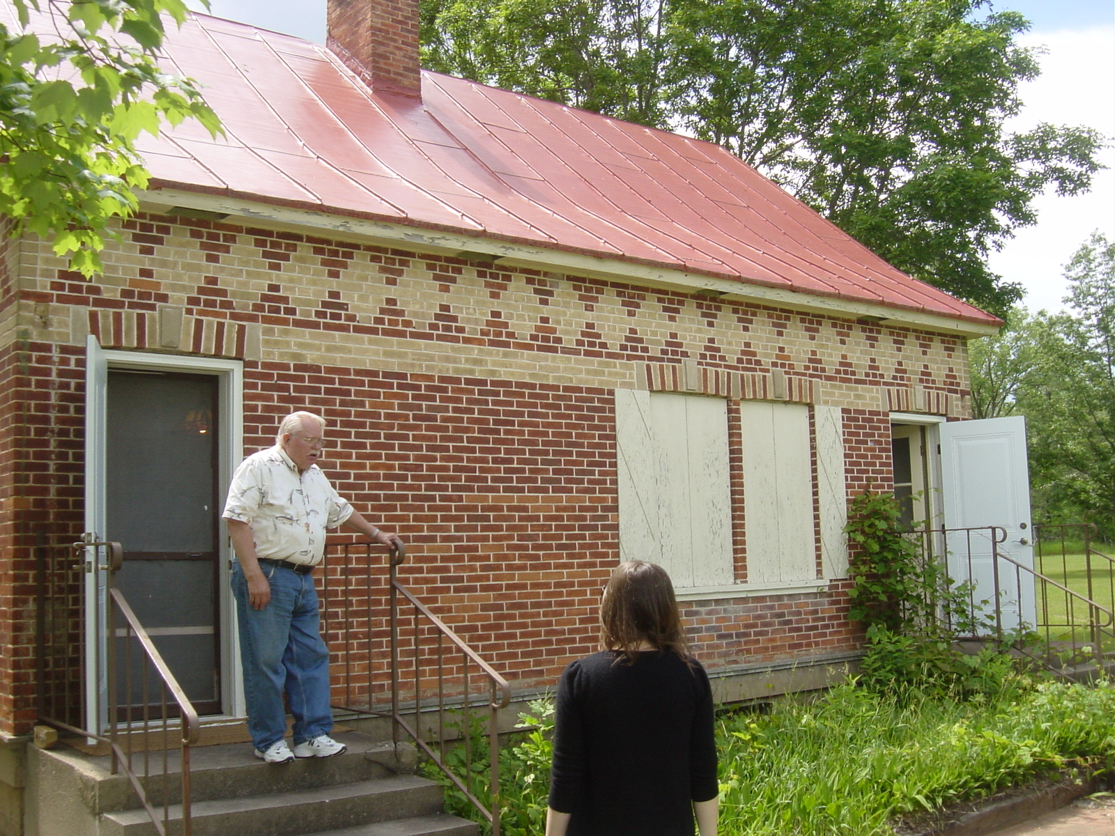
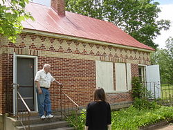 Farmstead at Copper Culture State Park

Location: Oconto, Wisconsin Coordinates: 44°53′12″N 87°54′3″W / 44.88667°N 87.90083°WCoordinates: 44°53′12″N 87°54′3″W / 44.88667°N 87.90083°W Governing body: State NRHP Reference#: 66000023 Significant dates Added to NRHP: October 15, 1966[1] Designated NHL: January 20, 1961[2] Copper Culture State Park is a 48-acre (19 ha) Wisconsin state park in Oconto. The park contains a burial ground used by Native Americans of the Old Copper Complex during the Copper Age between 5,000 and 6,000 years ago. Artifacts and photographs from excavations here are displayed on the park grounds in the Charles Werrenbroeck Museum, a 1924 farmhouse. The park is managed by a non-profit organization rather than the Wisconsin Department of Natural Resources. Visitors do not require a state park pass at this site, but are encouraged to make a donation at the museum.
The Oconto Archaic Copper Museum is located in the Werrebroeck House. It is open from Memorial Day to Labor Day on Sat and Sun from 11am to 3pm or by appointment. Free admission and guided tours are available. Other attractions include: picnic tables and grills, bathrooms, nature trails, pavilion, and fishing.
References
- ^ "National Register Information System". National Register of Historic Places. National Park Service. 2008-04-15. http://nrhp.focus.nps.gov/natreg/docs/All_Data.html.
- ^ "Oconto Site". National Historic Landmark summary listing. National Park Service. http://tps.cr.nps.gov/nhl/detail.cfm?ResourceId=25&ResourceType=Site. Retrieved 2008-06-30.
External links
U.S. National Register of Historic Places Topics Lists by states Alabama • Alaska • Arizona • Arkansas • California • Colorado • Connecticut • Delaware • Florida • Georgia • Hawaii • Idaho • Illinois • Indiana • Iowa • Kansas • Kentucky • Louisiana • Maine • Maryland • Massachusetts • Michigan • Minnesota • Mississippi • Missouri • Montana • Nebraska • Nevada • New Hampshire • New Jersey • New Mexico • New York • North Carolina • North Dakota • Ohio • Oklahoma • Oregon • Pennsylvania • Rhode Island • South Carolina • South Dakota • Tennessee • Texas • Utah • Vermont • Virginia • Washington • West Virginia • Wisconsin • WyomingLists by territories Lists by associated states Other  Category:National Register of Historic Places •
  Portal:National Register of Historic PlacesCategories:
- Wisconsin geography stubs
- Wisconsin Registered Historic Place stubs
- Wisconsin state parks
- Protected areas of Oconto County, Wisconsin
- Archaeological sites in Wisconsin
- Native American archeology
- Native American museums in Wisconsin
- National Historic Landmarks in Wisconsin
- Museums in Oconto County, Wisconsin
- Protected areas established in 1959
- Archaeology museums in the United States

Wikimedia Foundation. 2010.