- Copper Falls State Park
-
Copper Falls State Park Wisconsin State Park  The Bad River in Copper Falls State Park in 2006.
Country United States State Wisconsin County Ashland Location Mellen - coordinates 46°22′35″N 90°38′36″W / 46.37639°N 90.64333°W Area 3,068 acres (1,242 ha) Founded 1929 Management Wisconsin Department of Natural Resources IUCN category V - Protected Landscape/Seascape 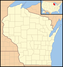

Copper Falls State Park is a 3,068-acre (1,242 ha) Wisconsin state park in which the Bad River and its tributary the Tylers Forks flow through a gorge and drop over several waterfalls. Old Copper Culture Indians and later European settlers mined copper in the area. The state park was created in 1929 and amenities were developed by the Civilian Conservation Corps and the Works Progress Administration. The North Country National Scenic Trail runs through the park.
External links
- Copper Falls State Park official website.
Categories:- Wisconsin geography stubs
- Protected areas of Ashland County, Wisconsin
- Waterfalls of Wisconsin
- Wisconsin state parks
- Protected areas established in 1929
- Civilian Conservation Corps in Wisconsin
- Works Progress Administration in Wisconsin

Wikimedia Foundation. 2010.