- Governor Thompson State Park
Geobox|Protected area
name = Governor Thompson State Park
category =Wisconsin State Park
category_iucn = V
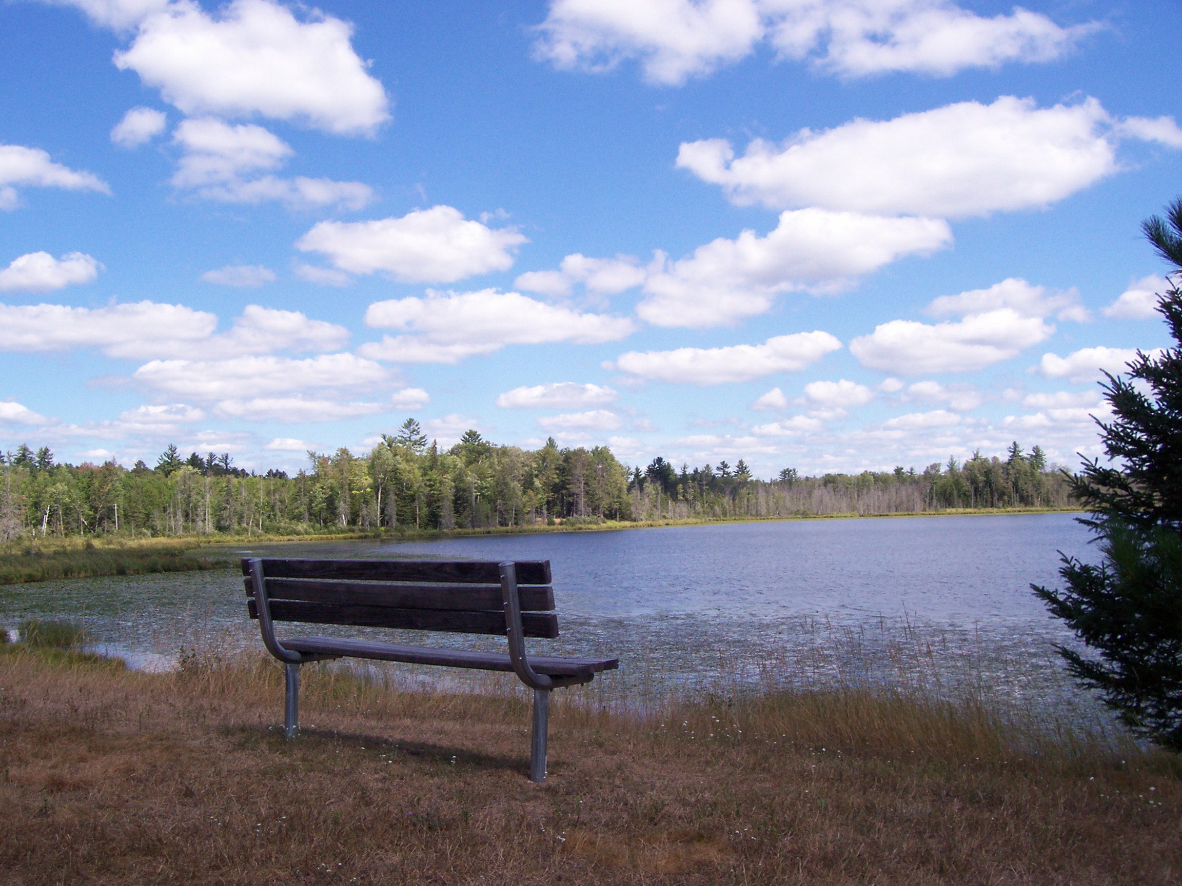
image_caption = Woods Lake
etymology_type = Named for
etymology =Tommy Thompson
country = United States
country_
state = Wisconsin
state_
state_type = State
region_type = County
region = Marinette
city_type = City
location = Crivitz
lat_d = 45
lat_m = 20
lat_s = 4
lat_NS = N
long_d = 88
long_m = 14
long_s = 52
long_EW = W
area_unit = acre
area_imperial = 2800
area_round = 1
established = 2000cite news|title=Governor Thompson State Park official flier|publisher=Wisconsin Department of Natural Resources |accessdate=2008-08-27]
map_locator = Wisconsin
management_body =Wisconsin Department of Natural Resources Governor Thompson State Park is a 2,800 acre (10.5 km²)
Wisconsin state park in development approximately 15 miles northwest of Crivitz. The park contains convert|6.5|mi|km of shoreline on the Caldron Falls Reservoir, part of thePeshtigo River , and convert|5300|ft|m of shoreline on two small kettle lakes. Adjacent lands are part of thePeshtigo River State Forest . The park was created in 2000, the centennial year of the Wisconsin state park system, and named after then-GovernorTommy Thompson .The park opened in 2005 for day use activities. As of 2008, the park contains a headquarters, 16 miles of hiking trails, a boat landing (#13) on the Caldron Falls flowage, and a picnic area along the west shore of Woods Lake. Further amenities are being installed. Planned activities include: a campgrounds, indoor and outdoor group campgrounds, playground, and an amphitheater. [cite web|url=http://www.dnr.state.wi.us/master_planning/completed_archive/parks_trails/govt/gov_thompson_final.pdf|title=Master Plan for Governor Thompson State Park|date=September 2004|publisher=Wisconsin Department of Transportation|accessdate=2008-08-27|format=pdf]
=References
External links
* [http://www.dnr.state.wi.us/org/land/parks/specific/govthompson/ Governor Thompson State Park] official site

Wikimedia Foundation. 2010.