- Crivitz, Wisconsin
-
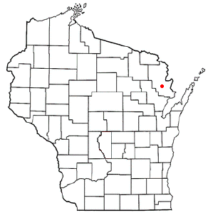
Village of Crivitz, Wisconsin — Village — Nickname(s): Ellis Junction (Railroad name until 1883) Motto: Crivitz, a great place to live, work, and play Location of Crivitz, Wisconsin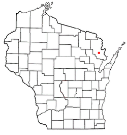
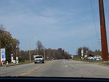
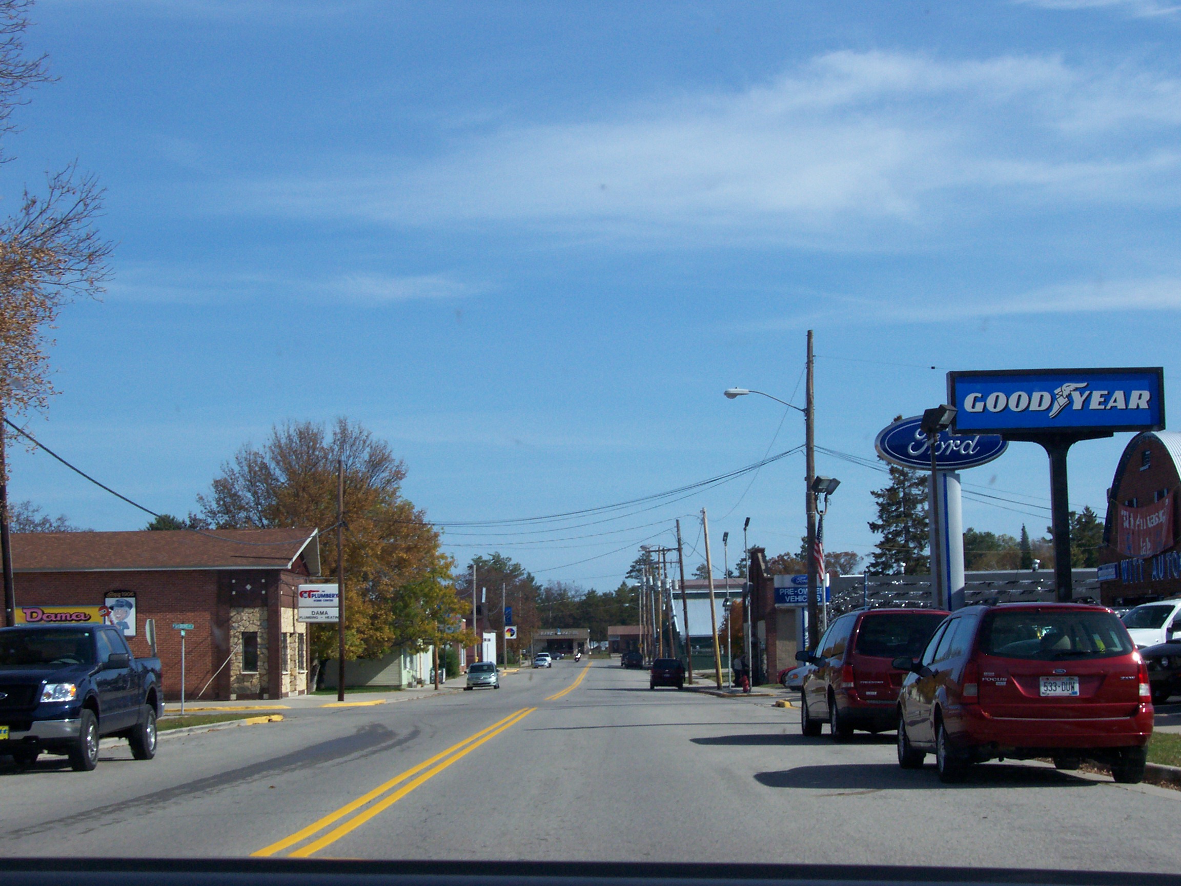
Coordinates: 45°14′2″N 88°0′25″W / 45.23389°N 88.00694°WCoordinates: 45°14′2″N 88°0′25″W / 45.23389°N 88.00694°W Country United States State Wisconsin County Marinette Village of Crivitz 1974 Government – Type Village President and Board of Trustees (6) – Village President John Deschane – Village Clerk Marilynn Padgett Area – Total 1.5 sq mi (3.9 km2) – Land 1.5 sq mi (3.9 km2) – Water 0.0 sq mi (0.0 km2) Elevation[1] 679 ft (207 m) Population (2000) – Total 998 – Density 657.1/sq mi (253.7/km2) Time zone Central (CST) (UTC-6) – Summer (DST) CDT (UTC-5) United States Zip Code 54114-xxxx Area code(s) 715-854-xxxx FIPS code 55-17725[2] GNIS feature ID 1563535[1] Website www.villageofcrivitz.com  A business district on Main Avenue looking West
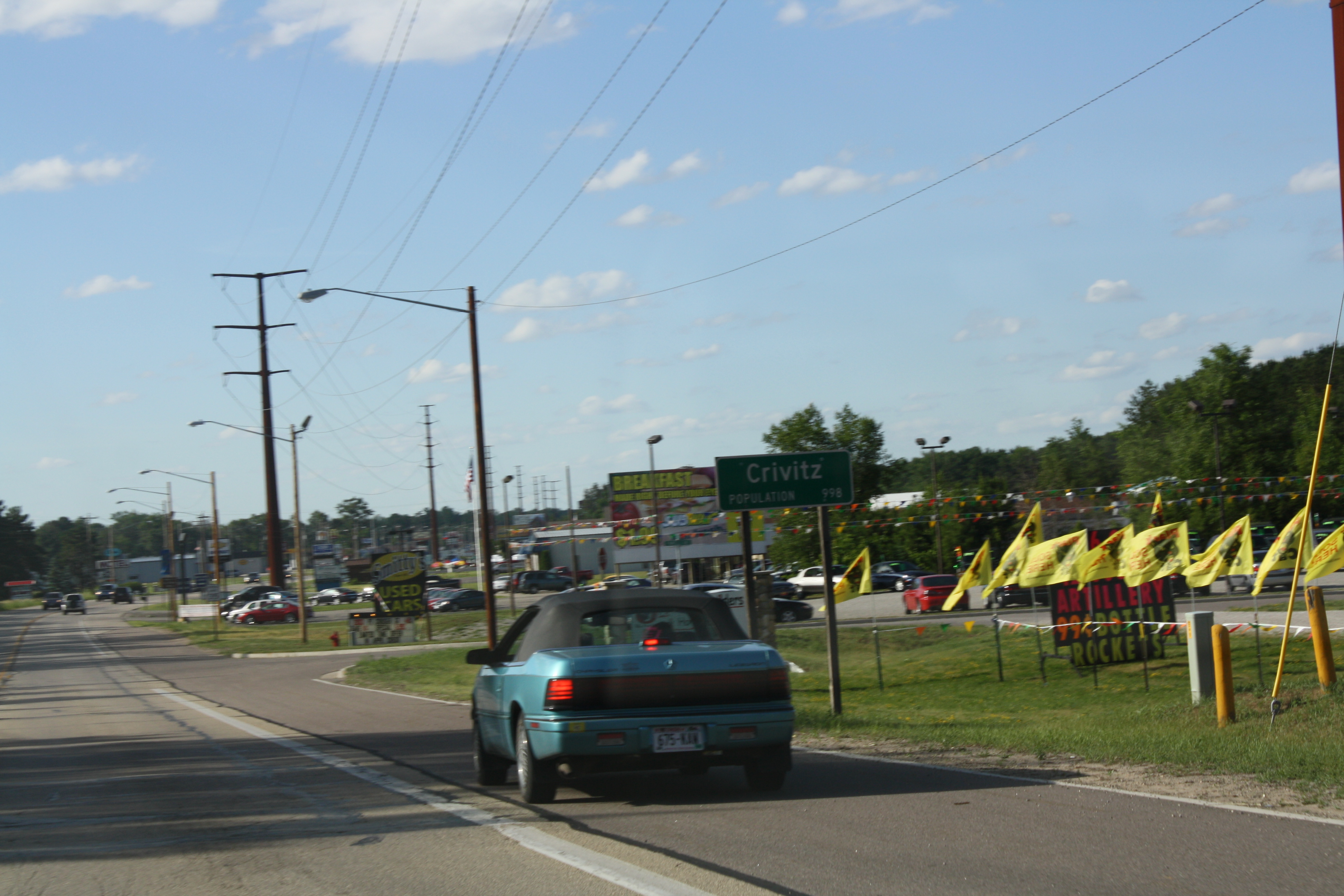
 Welcome sign
Crivitz is a village in Marinette County, Wisconsin, United States. The population was 998 at the 2000 census. It is part of the Marinette, WI–MI Micropolitan Statistical Area.
Contents
History
Crivitz was surveyed and plotted in the summer of 1883. This work was filed with the Register of Deeds in Marinette County on 10 September 1883 by German immigrant, Frederick John Bartels.[3]
Crivitz was a town until 1913, when it was incorporated as the Village of Crivitz. The village hall, originally located at 600 Main Avenue, was later relocated at 800 Main Avenue. The downtown developed along Main Avenue in the 600 to 900 blocks from 1913 to 1924. In 1924 a devastating fire destroyed 22 buildings along the south side of Main Avenue. In 1927, the village was disincorporated and became the Town of Crivitz. The fire, disincorporation, and the start of the Great Depression in 1929 sealed the fate of Crivitz for many years.
In 1974 Crivitz was once again incorporated as the Village of Crivitz, with the Village Hall at 800 Henriette Avenue. This was quickly followed by improvements in the water-sewer system, electrical system, and highway-transportation system. The village currently operates under its 1974 incorporation with a Village President (executive), a Board of Trustees (legislative), and a Municipal Judge (judicial). Village operations are carried out by the Public Works Department, Water-Sewer Department, Police Department, Fire Department, and Parks Department. In the 1980s the village business district moved to U.S. Highway 141 on the eastern edge of the village. Along with the inclusion of Dyer Buisness Park, in 2005, which runs along Highway 141. There has been no addition development in the downtown area of the village. The residential area has continued to expand both north and south between the railroad tracks and the Peshtigo River.
Street Names
Main Avenue (railroad tracts to Peshtigo River) is the heart of the original business district. This street is also known as "County Highway W". Fourteen of the streets in the village are named for members of the Bartels family. One Block North of Main Avenue is Henriette Avenue, named for a daughter and also known as County Highway A. On the west side of the railroad tracks is Louisa Street. This was named for Fredrik Bartels' wife. On the west side of the village at the Peshtigo River is F. J. Street. This was named for Fredrick John Bartels himself.
Recreation
Crivitz enjoys a small town atmosphere with a focus on the recreational opportunities in the area, including hunting, fishing, boating, camping, snowmobiling and competitive sports activities.
The newest park in the Wisconsin state park system, Governor Thompson State Park, is being developed north of Crivitz. The park was created in 2000, the centennial year of the Wisconsin state park system, and named after then-Governor Tommy Thompson.
Just up the road from Governor Thompson State Park is the Calderan Falls Bar & Grill, which hosts the annual Hog Wrestling World Championships, over 200 four-man teams compete, and more than 10,000 spectators enjoy the event.
Geography
Crivitz is located at 45°14′2″N 88°0′25″W / 45.23389°N 88.00694°W (45.233915, -88.006955)[4].
According to the United States Census Bureau, the village has a total area of 1.5 square miles (3.9 km²), all of it land.
Demographics
As of the census[2] of 2000, there were 998 people, 406 households, and 239 families residing in the village. The population density was 657.1 people per square mile (253.5/km²). There were 457 housing units at an average density of 300.9 per square mile (116.1/km²). The racial makeup of the village was 96.99% White, 0.20% African American, 0.30% Native American, 0.20% Asian, 0.90% from other races, and 1.40% from two or more races. Hispanic or Latino of any race were 1.10% of the population.
There were 406 households out of which 29.3% had children under the age of 18 living with them, 44.3% were married couples living together, 11.1% had a female householder with no husband present, and 41.1% were non-families. 36.0% of all households were made up of individuals and 21.4% had someone living alone who was 65 years of age or older. The average household size was 2.23 and the average family size was 2.90.
In the village the population was spread out with 23.1% under the age of 18, 6.5% from 18 to 24, 25.1% from 25 to 44, 20.1% from 45 to 64, and 25.2% who were 65 years of age or older. The median age was 41 years. For every 100 females there were 80.1 males. For every 100 females age 18 and over, there were 76.3 males.
The median income for a household in the village was $89,250, and the median income for a family was $76,464. Males had a median income of $54,646 versus $20,046 for females. The per capita income for the village was $13,405. About 12.2% of families and 16.8% of the population were below the poverty line, including 24.3% of those under age 18 and 14.4% of those age 65 or over.
Economy
The tourism industry and outdoor activities such as fishing, snowmobiling, and hunting are important to the Crivitz economy. Several area businesses specialize in outdoor activities, such as hunting, fishing, snowmobiling, whitewater rafting, tubing, ATV trail upkeep, and boat rental services.
Notable residents
- Pete Banaszak, NFL player and running back for the Oakland Raiders[5]
References
- ^ a b "US Board on Geographic Names". United States Geological Survey. 2007-10-25. http://geonames.usgs.gov. Retrieved 2008-01-31.
- ^ a b "American FactFinder". United States Census Bureau. http://factfinder.census.gov. Retrieved 2008-01-31.
- ^ http://www.villageofcrivitz.com
- ^ "US Gazetteer files: 2010, 2000, and 1990". United States Census Bureau. 2011-02-12. http://www.census.gov/geo/www/gazetteer/gazette.html. Retrieved 2011-04-23.
- ^ http://www.nfl.com/players/petebanaszak/profile?id=BAN083058
External links
Municipalities and communities of Marinette County, Wisconsin Cities 
Villages Towns Amberg | Athelstane | Beaver | Beecher | Dunbar | Goodman | Grover | Lake | Middle Inlet | Niagara | Pembine | Peshtigo | Porterfield | Pound | Silver Cliff | Stephenson | Wagner | Wausaukee
CDPs Amberg | Dunbar | Goodman | Pembine
Unincorporated
communitiesAthelstane | Bagley Junction | Beaver | Beecher | Beecher Lake | Cedarville | County Line‡ | Goll | Harmony | Kremlin | Loomis | May Corner | McAllister | Middle Inlet | Miles | Packard | Porterfield | Rubys Corner | Sweetheart City | Wagner | Walsh | White Pine Haven | Wilcox
Footnotes ‡This populated place also has portions in an adjacent county or counties
Categories:- Populated places in Marinette County, Wisconsin
- Villages in Wisconsin
- Marinette micropolitan area


Wikimedia Foundation. 2010.