New Glarus Woods State Park
- New Glarus Woods State Park
-
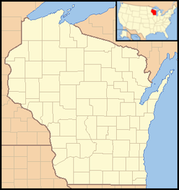
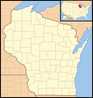
New Glarus Woods State Park is a 431-acre (174 ha) Wisconsin state park featuring rolling hills covered by a mix of forest and prairie. The Sugar River State Trail passes nearby, making the park accessible by bike. This trail also connects to the Badger State Trail.
External links
Categories:
- Wisconsin geography stubs
- Protected areas of Green County, Wisconsin
- Wisconsin state parks
- Protected areas established in 1934
Wikimedia Foundation.
2010.
Look at other dictionaries:
New Glarus, Wisconsin — Village Fla … Wikipedia
New Glarus — ▪ Wisconsin, United States village, Green county, southern Wisconsin, U.S. It lies on a branch of the Sugar River, about 25 miles (40 km) southwest of Madison. Founded in 1845 by some 100 immigrants from the canton of Glarus in Switzerland… … Universalium
Big Foot Beach State Park — IUCN Kategorie V … Deutsch Wikipedia
State Parks in Wisconsin — Dies ist die Liste der State Parks im US Bundesstaat Wisconsin. Aztalan State Park … Deutsch Wikipedia
Devil's Lake State Park (Wisconsin) — This is about the state park in Wisconsin. For parks with similar names, see Devil s Lake State Park (disambiguation) Coordinates: 43°24′53″N 89°42′47″W / 43.41472°N 89.7 … Wikipedia
Copper Culture State Park — Oconto Site U.S. National Register of Historic Places U.S. National Historic Landmark … Wikipedia
Mill Bluff State Park — Coordinates: 43°56′47″N 90°18′55″W / 43.94639°N 90.31528°W / 43.94639; 90.31528 … Wikipedia
Mirror Lake State Park — For the lake in Waupaca, Wisconsin, see Mirror Lake (Waupaca). Coordinates: 43°33′54″N 89°49′12″W / 43.565°N 89.82°W / … Wikipedia
Natural Bridge State Park (Wisconsin) — Coordinates: 43°20′39″N 89°55′47″W / 43.34417°N 89.92972°W / 43.34417; 89.92972 … Wikipedia
Copper Falls State Park — Der Copper Falls State Park ist ein 12,4 km² großer State Park. Er liegt etwa 3 km nordöstlich von Mellen im Ashland County des US Bundesstaates Wisconsin und ist über den Wisconsin Highway 169 erreichbar. Im Masterplan des Jahres 1975 wurden für … Deutsch Wikipedia