Potawatomi State Park

Potawatomi State Park

Geobox|Protected area
name = Potawatomi State Park
category = Wisconsin State Park
category_iucn = V


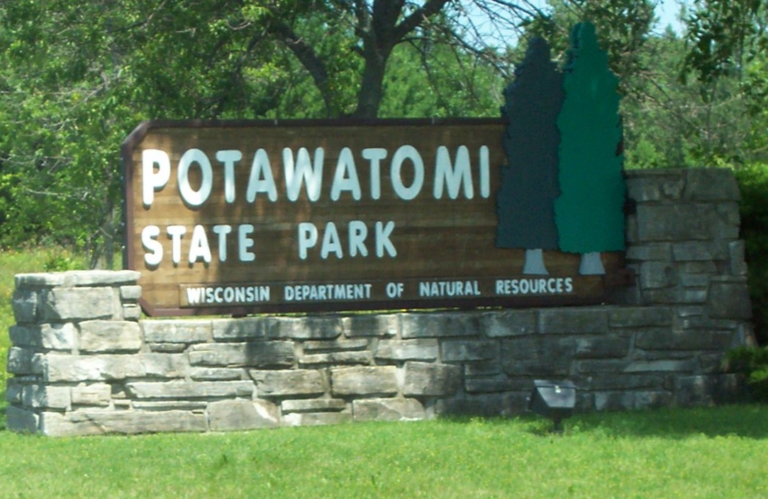
image_caption = Sign
country = United States
country_

state = Wisconsin
state_

state_type = State
region_type = County
region = Door
city_type = City
location = Sturgeon Bay
lat_d =
lat_m =
lat_s =
lat_NS =
long_d =
long_m =
long_s =
long_EW =
area_unit = acre
area_imperial = 1225
area_round = 1
established = 1928
map_locator = Wisconsin


management_body =Wisconsin Department of Natural Resources

Potawatomi State Park is a convert|1225|acre|km2|sing=on Wisconsin state park northwest of Sturgeon Bay, Wisconsin. It is located on Sturgeon Bay, a bay of the Bay of Green Bay in Door County. Potawatomi State Park was established in 1928. [cite web|url=http://www.dnr.state.wi.us/org/land/parks/specific/Potawatomi/|title=Potawatomi State Park|date=2008-06-24|publisher=Wisconsin Department of Natural Resources|accessdate=2008-08-14]


=

References

External links

* [http://www.dnr.state.wi.us/org/land/parks/specific/Potawatomi/ Potawatomi State Park website]


Wikimedia Foundation. 2010.

Игры ⚽ Поможем написать курсовую

Look at other dictionaries:

  • Pokagon State Park — Infobox protected area | name = Pokagon State Park iucn category = caption = Wetlands in Pokagon State Park locator x = locator y = location = Indiana, USA nearest city = Angola, Indiana lat degrees = 41 lat minutes =42 lat seconds = 50 lat… …   Wikipedia

  • Peninsula State Park — Geobox|Protected area name = Peninsula State Park category = Wisconsin State Park category iucn = V image caption = Peninsula State Park summer map. country = United States country state = Wisconsin state state type = State region type = County… …   Wikipedia

  • Wyalusing State Park — von den Klippen in Richtung Westen gesehen Der Wyalusing State Park befindet sich im Grant County des US Bundesstaates Wisconsin. Der 1917 gegründete State Park liegt südöstlich des Zusammenflusses von Wisconsin River und Mississippi River. Im …   Deutsch Wikipedia

  • Newport State Park — Coordinates: 45°14′6″N 86°59′39″W / 45.235°N 86.99417°W / 45.235; 86.99417 …   Wikipedia

  • Merrick State Park — Coordinates: 44°9′16″N 91°45′17″W / 44.15444°N 91.75472°W / 44.15444; 91.75472 …   Wikipedia

  • Kinnickinnic State Park — IUCN Kategorie V Lage …   Deutsch Wikipedia

  • Buckhorn State Park — IUCN Kategorie V Lage …   Deutsch Wikipedia

  • Starved Rock State Park — Coordinates: 41°19′17″N 88°59′25″W / 41.32139°N 88.99028°W / 41.32139; 88.99028 …   Wikipedia

  • Big Foot Beach State Park — IUCN Kategorie V …   Deutsch Wikipedia

  • Devil's Lake State Park (Wisconsin) — This is about the state park in Wisconsin. For parks with similar names, see Devil s Lake State Park (disambiguation) Coordinates: 43°24′53″N 89°42′47″W / 43.41472°N 89.7 …   Wikipedia

Share the article and excerpts

Direct link
Do a right-click on the link above
and select “Copy Link”