- U.S. Route 68
-
U.S. Route 68

Route information Length: 560 mi[1] (901 km) Existed: 1926[1] – present Major junctions West end:  US 62 at Reidland, KY
 I-24 near Cadiz, KY
 I-65 near Bowling Green, KY

 I-64 / I-75 at Lexington, KY
 I-71 near Wilmington, OH
 I-70 at Springfield, OH
North end: I-75 at Findlay, OHHighway system United States Numbered Highways
List • Bannered • Divided • ReplacedU.S. Route 68 is an east–west United States highway that runs for 560 miles (900 km) from northwest Ohio to western Kentucky. The highway's western terminus is at U.S. Route 62 in Reidland, Kentucky. Its eastern terminus is at Interstate 75 in Findlay, Ohio. It is signed east–west in Kentucky and north–south in Ohio
Contents
Route description
Kentucky

US 68 is designated as a "Scenic Highway" throughout Kentucky. The majority of the route winds through forested, hilly terrain.
US 68 passes several Civil war battle sites. The Battle of Tebbs Bend Historic Civil War Site is located near Campbellsville and the Perryville Battlefield State Historic Site is outside Perryville.
US 68 hosts an annual 400-Mile yard sale for 4 days in early summer.[2]
US 68 through Campbellsville and Lebanon is slated for expansion to begin in 2008. The long-term goal is to widen and make safer the entire US 68 corridor through Kentucky as part of the Heartland Parkway project,[3][4]
Sections in Kentucky have been improved in recent years. The Paris Pike which was completed in 2003. Work is currently in progress to make US 68 four lanes through Land Between the lakes.
Ohio
U.S. 68 takes a north–south route throughout much of Ohio. For much of the route, it roughly parallels Interstate 75 as in runs south from its junction with said interstate to the Kentucky Border. The route is an important connector for cities and villages in western Ohio. It also is used as the Springfield, Ohio bypass.
Major intersections
 US 68 in Mercer County, Kentucky.
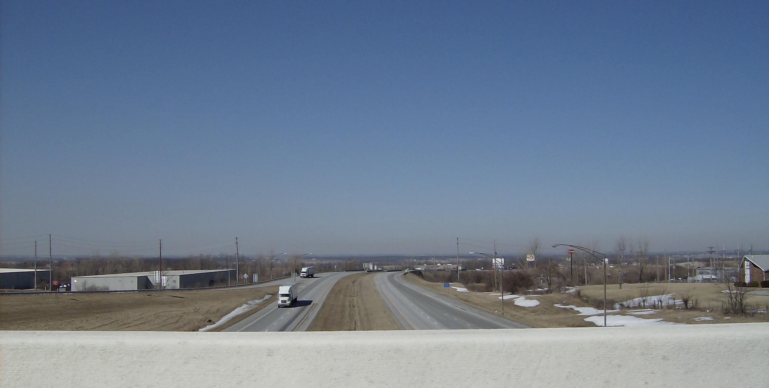
 Highest point on US 68 at the US 33 interchange in Bellefontaine, Ohio.
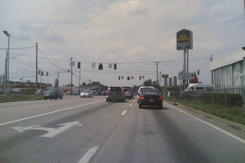
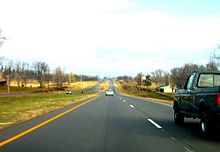 Us 68 in Jessamine County, Kentucky
Kentucky
- Interstate 24 near Paducah
- Interstate 24 near Hopkinsville
- U.S. Route 41A in Hopkinsville
- U.S. Route 41 in Hopkinsville
- Edward T. Breathitt Pennyrile Parkway in Hopkinsville
- William H. Natcher Parkway in Bowling Green
- U.S. Route 231 in Bowling Green
- U.S. Route 31W in Bowling Green
- U.S. Route 60 in Lexington
- Interstate 75 near Lexington
- U.S. Route 62 south of Maysville (southern terminus of concurrency)
Ohio
- U.S. Route 62 in Redoak, Ohio (between Ripley and Georgetown – northern terminus of concurrency)
- U.S. Route 52 – concurrency from Aberdeen to Ripley
- U.S. Route 50 in Fayetteville
- U.S. Route 22 in Wilmington
- Interstate 71 north of Wilmington
- U.S. Route 35 and U.S. Route 42 in Xenia
- Interstate 70 south of Springfield
- U.S. Route 40 in Springfield
- U.S. Route 36 in Urbana
- U.S. Route 33 in Bellefontaine
- U.S. Route 30 in Williamstown
- Interstate 75 in Findlay
See also
- Maysville Road veto
- U.S. Route 168
References
- ^ a b Droz, Robert V. U.S. Highways : From US 1 to (US 830). URL accessed 02:55, 4 July 2006 (UTC).
- ^ "499 Mile sale across Kentucky's scenic byway historic highway 68". http://www.400mile.com/. Retrieved 2010-05-05.
- ^ http://www.kentuckyroads.com/us_68/
- ^ http://www.lcni5.com/cgi-bin/c2.cgi?085+article+News+20090228110538085085010
 Main U.S. Routes
1 2 3 4 5 6 7 8 9 10 11 12 13 14 15 16 17 18 19 20 21 22 23 24 25 26 27 28 29 30 31 32 33 34 35 36 37 38 40 41 42 43 44 45 46 48 49 50 51 52 53 54 55 56 57 58 59 60 61 62 63 64 65 66 67 68 69 70 71 72 73 74 75 76 77 78 79 80 81 82 83 84 85 87 89 90 91 92 93 94 95 96 97 98 99 101 163 400 412 425 Lists U.S. Routes • Bannered • Divided • Bypassed Browse numbered routes ←  KY 67
KY 67KY KY 69  →Categories:
- U.S. Route 68
- U.S. Highways in Kentucky
- U.S. Highways in Ohio


Wikimedia Foundation. 2010.