- Cadiz, Kentucky
Infobox Settlement
official_name = Cadiz, Kentucky
settlement_type =City
nickname =
motto =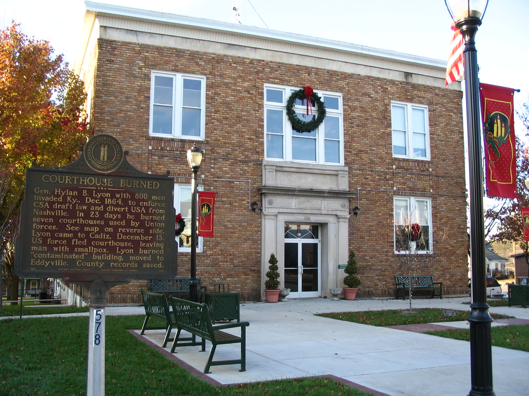
imagesize = 250px
image_caption = The courthouse in Cadiz burned down twice during theAmerican Civil War
image_
mapsize = 250px
map_caption = Location of Cadiz, Kentucky
mapsize1 =
map_caption1 =subdivision_type = Country
subdivision_name =United States
subdivision_type1 = State
subdivision_name1 =Kentucky
subdivision_type2 = County
subdivision_name2 = Trigg
government_footnotes =
government_type =
leader_title =
leader_name =
leader_title1 =
leader_name1 =
established_title =
established_date =unit_pref = Imperial
area_footnotes =area_magnitude =
area_total_km2 = 9.0
area_land_km2 = 9.0
area_water_km2 = 0.0
area_total_sq_mi = 3.5
area_land_sq_mi = 3.5
area_water_sq_mi = 0.0population_as_of = 2000
population_footnotes =
population_total = 2373
population_density_km2 = 264.6
population_density_sq_mi = 685.4timezone = Central (CST)
utc_offset = -6
timezone_DST = CDT
utc_offset_DST = -5
elevation_footnotes =
elevation_m = 129
elevation_ft = 423
latd = 36 |latm = 52 |lats = 4 |latNS = N
longd = 87 |longm = 49 |longs = 3 |longEW = Wpostal_code_type =
ZIP code
postal_code = 42211
area_code = 270
blank_name = FIPS code
blank_info = 21-11692
blank1_name = GNIS feature ID
blank1_info = 0517318
website =
footnotes =Cadiz is a city in Trigg County,
Kentucky ,United States . The population was 2,373 at the 2000 census. It is thecounty seat of Trigg CountyGR|6. It is an old town located close to the Land Between the Lakes, a popular recreation area, and was a base of Union and Confederate operations in theAmerican Civil War . It has become known as a tourist location, with its tourist information center located in an authentic 19th-century log cabin in its original location.Cadiz is part of the Clarksville, TN–KY Metropolitan Statistical Area.
Geography
Cadiz is located at coor dms|36|52|4|N|87|49|3|W|city (36.867781, -87.817374)GR|1.
According to the
United States Census Bureau , the city has a total area of 3.5square mile s (9.0km² ), all of it land.Demographics
As of the
census GR|2 of 2000, there were 2,373 people, 1,009 households, and 648 families residing in the city. Thepopulation density was 685.4 people per square mile (264.8/km²). There were 1,093 housing units at an average density of 315.7/sq mi (122.0/km²). The racial makeup of the city was 80.66% White, 17.53% African American, 0.13% Native American, 0.38% Asian, 0.04% Pacific Islander, 0.25% from other races, and 1.01% from two or more races. Hispanic or Latino of any race were 0.84% of the population.There were 1,009 households out of which 30.1% had children under the age of 18 living with them, 44.5% were married couples living together, 15.8% had a female householder with no husband present, and 35.7% were non-families. 32.9% of all households were made up of individuals and 18.7% had someone living alone who was 65 years of age or older. The average household size was 2.29 and the average family size was 2.89.
In the city the population was spread out with 24.7% under the age of 18, 8.0% from 18 to 24, 24.9% from 25 to 44, 21.8% from 45 to 64, and 20.7% who were 65 years of age or older. The median age was 39 years. For every 100 females there were 82.5 males. For every 100 females age 18 and over, there were 77.9 males.
The median income for a household in the city was $26,429, and the median income for a family was $31,750. Males had a median income of $30,357 versus $18,929 for females. The
per capita income for the city was $13,404. About 17.5% of families and 19.9% of the population were below thepoverty line , including 29.2% of those under age 18 and 18.7% of those age 65 or over.References
External links
* [http://www.cadizky.com/ Official homepage]
* [http://www.wkdzradio.com/ WKDZ Radio (Local radio station)]
* [http://www.cadizrecord.com/ The Cadiz Record (weekly newspaper)]
Wikimedia Foundation. 2010.