- U.S. Route 4
Infobox U.S. Route
article_route=4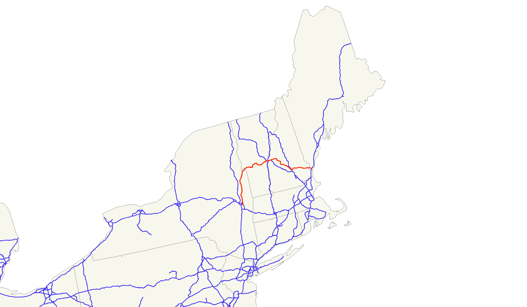
length_mi=249.84
length_round=2
length_ref= [http://www.us-highways.com/us1830.htm US Highways From US 1 to US 830] Robert V. Droz.]
yrcom=1926
direction_a=West
from=Jct|state=NY|US|9|US|20 near Albany, NY
junction=jct|state=NY|I|90 near Albany, NY
Jct|state=VT|US|7 in Rutland, VT
Jct|state=VT|I|89|I|91|US|5 in White River Junction, VT
Jct|state=NH|I|89 in Lebanon, NH
Jct|state=NH|I|93|US|3|US|202 in Concord, NH
direction_b=East
to=Jct|state=NH|I|95|US-Byp|1|NH|16|dab2=Portsmouth in Portsmouth, NHU.S. Route 4 is a 253 mile (407 km) long
United States highway that runs from East Greenbush, New York, in the west toPortsmouth, New Hampshire , in the east, traversing throughVermont .In
New York , US 4 is signed north-south to reflect its alignment in the state. In Vermont andNew Hampshire , the route is signed east-west, the standard direction for even-numbered US highways.Route description
US 4 passes through the following states:
New York In the state of New York, US 4 begins at the concurrency of US 9 and US 20 in East Greenbush. Heading northward, it has an interchange with I-90, continuing northward into Troy. In Troy, it passes by
Hudson Valley Community College as well as the headquarters of the 42nd Infantry Division. US 4 then heads downhill, passing the historicSouth End Tavern as Burden Avenue, named for the historicBurden Iron Works . Later, US 4 assumes Fourth Street, which splits into parallel one-way streets (Third Street handles southbound traffic from downtown). Once through downtown, the streets meet and pass by theGreen Island Bridge , later passing under theCollar City Bridge and into Lansingburgh.After Lansingburgh, US 4 turns left to cross the
Hudson River on theTroy-Waterford Bridge , entering Waterford, joining with NY 32 to head north together west of the Hudson. After Mechanicville, US 4 and NY 32 split, and US 4 passes by the Battle of Saratoga and the Saratoga National Cemetery. NY 32 joins again to pass through Schuylerville, after which US 4 splits off to cross the Hudson one last time.Runinng parallel to the
Champlain Canal , US 4 passes through villages including Fort Edward, Hudson Falls, Fort Ann and Whitehall. After a concurrency with NY 22, US 4 heads eastward intoVermont .In New York, US 4's length is 79.75 miles (128.32 kilometers).
Vermont In the state of Vermont, US 4 immediately becomes a four-lane divided expressway. The historic routing of US 4 runs nearby as VT 4A, which later becomes Business US 4 as it enters Rutland. South of Rutland, US 4 meets US 7 and overlaps it into downtown, meeting the east end of its business route. East of Rutland, US 4 is a two-lane highway, meandering through the
Green Mountains , passing by Killington, going through Woodstock and Quechee, crossing the Quechee Gorge, and meeting US 5, I-89, and I-91 at White River Junction. Crossing theConnecticut River , US 4 enters New Hampshire.In Vermont, US 4's length is 66.04 miles (106.26 kilometers).
New Hampshire In the state of New Hampshire, US 4 passes through Lebanon, meeting I-89 again. It then heads southeast to Boscawen, where it briefly overlaps US 3 before joining I-93 into Concord. Turning east, US 4 briefly overlaps I-393 and for a longer stretch with US 202. Passing through Durham, US 4 joins the
Spaulding Turnpike at Dover Point and travels southeast to its eastern terminus in Portsmouth at thePortsmouth Traffic Circle .In New Hampshire, US 4's length is 106.83 miles (171.90 kilometers).
History
Prior to being designated US 4, the road from Whitehall, New York eastward through Vermont was
New England Interstate Route 13 (NE-13). From the Vermont-New Hampshire state line toFranklin, New Hampshire , it was the eastern extension of NE-14. From Franklin toConcord, New Hampshire it used NE-6 (nowUS 3 ), and from Concord toNorthwood, New Hampshire it used NE-9 (now NH-9). Between Northwood andDover, New Hampshire , it used a road that was previously not numbered. From Dover to its eastern terminus atPortsmouth, New Hampshire , the road used to be known as NE-16 (now NH-16).History of termini
1926-1930:
Glens Falls, New York at the point where US 9 split into US 9W and 9E, toPortsmouth, New Hampshire .
1930-present: East Greenbush, New York, following former US 9E, through its former west terminus, toPortsmouth, New Hampshire .ee also
Related routes
*"
U.S. Route 104 " becameNew York State Route 104 in 1972. While never directly connected to US 4, it was so designated as it was on the same latitude as US 4.External links
* [http://www.geocities.com/usend0009/End004/end004.htm US-4 endpoint photos]
References
###@@@KEYEND@@@###
Wikimedia Foundation. 2010.