- U.S. Route 425
Infobox U.S. Route
article_route=425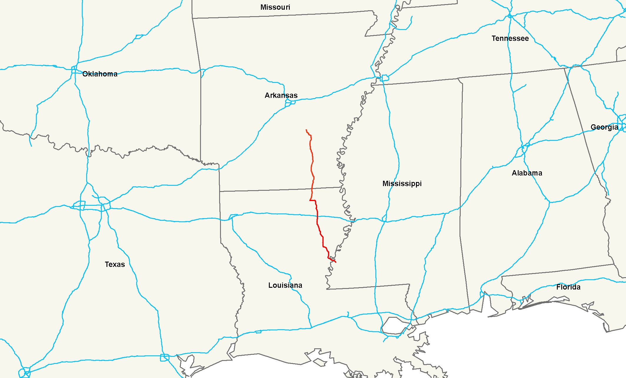
length_mi=220Droz, Robert V. [http://www.us-highways.com/us1830.htm U.S. Highways : From US 1 to (US 830) - Termini and Lengths in Miles] . URL accessed 16:20, 26 February 2006 (UTC).]
length_km=354
yrcom=1989 (extended north in 2002Droz, Robert V. [http://www.us-highways.com/usbt.htm U.S. Highways : From US 1 to (US 830) - The Big Table] . URL accessed 16:20, 26 February 2006 (UTC).] , south in 2005)
direction_a=South
direction_b=North
from=Jct|state=MS|US|61|US|84 at Natchez, MS
to=Jct|state=AR|I|530|US|63|US|65|US|79 at Pine Bluff, ARU.S. Route 425 is a north-south
United States highway , first commissioned in 1989. Its route number is a "violation" of the usual AASHTO numbering scheme, as it comes nowhere near its implied "parent",U.S. Route 25 . The highway's northern terminus is inPine Bluff, Arkansas , at an interchange withInterstate 530 ,U.S. Route 63 ,U.S. Route 65 , andU.S. Route 79 . Until2005 , its southern terminus was inBastrop, Louisiana , at an intersection withU.S. Route 165 . In 2005, it was extended toNatchez, Mississippi , at an intersection withU.S. Route 61 .mapguy, [http://www.geocities.com/usend2029/End425/end425.htm End of U.S. Highway 425] . URL accessed 19:25, 25 March 2006 (UTC) (with maps of US 425 and related routes).]ee also
Related routes
*
U.S. Route 400 andU.S. Route 412 , both similar violations of the standard numbering schemeReferences
###@@@KEYEND@@@###
Wikimedia Foundation. 2010.