- Duncans Mills, California
-
Duncans Mills, California
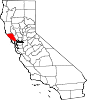
Duncanville [1]— unincorporated town —  Location within the state of California
 Duncans Mills, California
Coordinates: 38°27′14″N 123°3′18″W / 38.45389°N 123.055°WCoordinates: 38°27′14″N 123°3′18″W / 38.45389°N 123.055°W Country United States State California County Sonoma Elevation[1] 23 ft (7 m) Population (2000) – Total 175 Time zone PST (UTC-8) – Summer (DST) PDT (UTC-7) ZIP code 95430 Area code(s) 707 FIPS code 06-20130 GNIS feature ID 222722 Duncans Mills (or Duncan's Mills) is an unincorporated town located in Sonoma County, California.
Contents
Geography
Duncans Mills is located at 38°27′14″N 123°3′18″W / 38.45389°N 123.055°W on the Russian River about 4 mi (6 km) from the Pacific Ocean. It straddles State Route 116.
Climate
Monthly climate averages Month High (°F) Low (°F) Precip. (inches) January 57 36 8.65 February 62 38 7.64 March 65 40 6.15 April 70 41 2.25 May 76 45 1.03 June 81 48 0.25 July 84 49 0.08 August 84 49 0.11 September 82 48 0.52 October 77 43 2.01 November 66 38 5.85 December 57 34 6.29 The record high was 113 °F (45 °C) on July 14, 1972, and the record low was 14 °F (−10 °C) on December 23, 1990.
Duncan's Mills often experiences blue skies when the surrounding hills are shrouded in fog or rain clouds.
Demographics
According to the 2000 census, about 175 people live in Duncans Mills. There are around 42 family households and 31 non-family households. Each household has an average of 2-3 people. In Duncans Mills there are 129 houses, and 56 of them are vacant and 52 of them are seasonal, recreational, of occasional use.
History
Duncans Mills was once part of the Rancho Muniz Mexican land grant.
In 1877, Alexander Duncan established a sawmill in what is today Duncans Mills. The mills sent lumber to the growing city of San Francisco.
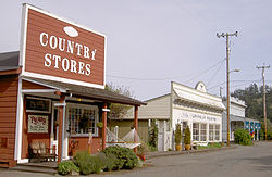
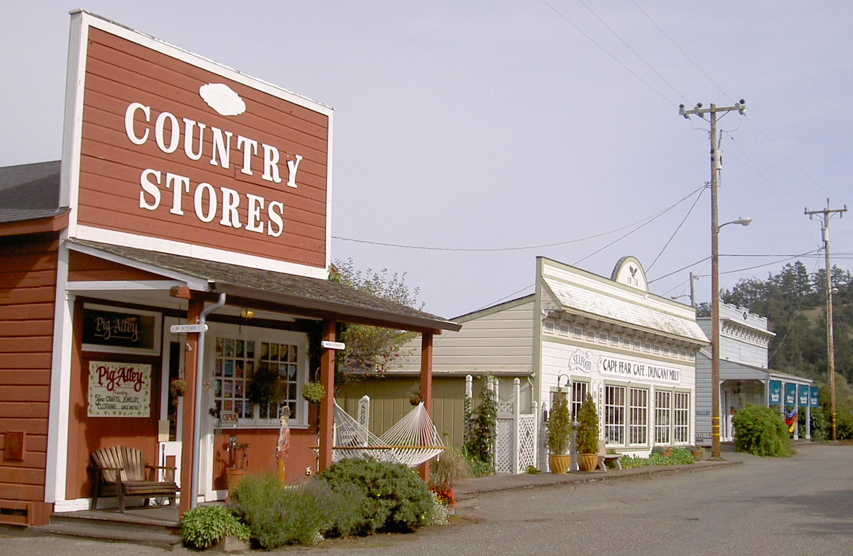
The town was founded in the 1870s. It featured two hotels, a general store, a saloon, a meat market, blacksmith, livery stable, and a notion shop.
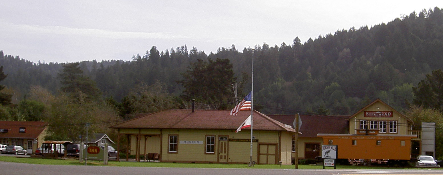
Starting in the 1870s, the narrow-gauge North Pacific Coast Railroad ran through Duncans Mills on its way from Cazadero, California to Sausalito. After being sold several times, the railroad ceased operation in the 1930s. The town slowly faded, until a 1976 restoration project, associated with the celebration of the U.S. Bicentennial, brought about a period of building restoration and business re-vitalization.
Today, Duncans Mills resembles the way it was originally built. It has an authentic Northwestern Pacific Railroad Depot and several original cars from the old railroad line. A California State Park Ranger Station is located in one of the old railroad buildings as the California State Park Store with a selection of books and maps about the area.
Attractions

There is a campground along the Russian River with facilities for RVs.
Restaurants include Gold Coast Coffee and Bakery, Blue Heron Restaurant and Bar and the Cape Fear Cafe.
Antiques, gifts, and locally-grown flowers are sold.
There are at least three art galleries: mini photos of around the world, local artists, and early Californian. Wine and cheese tastings are offered.
Many Civil War reenactments have been performed adjacent to the town.
References
- http://visitormags.com/sonoma/features/duncans_mills_story.html
- http://www.inn-california.com/sanfrancisco/Sonoma/Jenner/duncans-mills.html
- http://www.duncansmillscamp.com/
- http://www.weather.com/search/partner?Keywords=DUncans+Mills+weather+averages
- http://www.duncansmillscamp.com/attractions.htm
Municipalities and communities of Sonoma County, California Cities and towns Cloverdale | Cotati | Healdsburg | Petaluma | Rohnert Park | Santa Rosa | Sebastopol | Sonoma | Windsor
CDPs Bloomfield | Bodega | Bodega Bay | Boyes Hot Springs | Carmet | Cazadero | El Verano | Eldridge | Fetters Hot Springs-Agua Caliente | Forestville | Fulton | Geyserville | Glen Ellen | Graton | Guerneville | Jenner | Kenwood | Larkfield-Wikiup | Monte Rio | Occidental | Penngrove | Roseland | Salmon Creek | Sea Ranch | Sereno del Mar | Temelec | Timber Cove | Valley Ford
Unincorporated
communitiesAnnapolis | Asti | Camp Meeker | Duncans Mills | Freestone | Guernewood Park | Lakeville | Mark West | Mark West Springs | Rio Dell | Rio Nido | Schellville | Stewarts Point | Two Rock | Venado | Villa Grande | Vineburg
Indian reservations Categories:- Populated places in Sonoma County, California
- Unincorporated communities in California


Wikimedia Foundation. 2010.