- Graton, California
Infobox Settlement
official_name = Graton, California
other_name =
native_name =
nickname =
settlement_type = CDP
motto =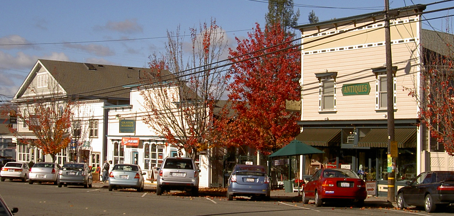
imagesize =
image_caption =
flag_size =
image_
seal_size =
image_shield =
shield_size =
image_blank_emblem =
blank_emblem_type =
blank_emblem_size =
flag_size =
image_
seal_size =
image_shield =
shield_size =
image_blank_emblem =
blank_emblem_type =
blank_emblem_size =
mapsize = 250x200px
map_caption = Location in Sonoma County and the state ofCalifornia
mapsize1 =
map_caption1 =
image_dot_
dot_mapsize =
dot_map_caption =
dot_x =
dot_y =
pushpin_
pushpin_label_position =
pushpin_map_caption =
pushpin_mapsize =
subdivision_type = Country
subdivision_name =United States
subdivision_type1 = State
subdivision_name1 =California
subdivision_type2 = County
subdivision_name2 = Sonoma
subdivision_type3 =
subdivision_name3 =
subdivision_type4 =
subdivision_name4 =
government_footnotes =
government_type =
leader_title =
leader_name =
leader_title1 =
leader_name1 =
leader_title2 =
leader_name2 =
leader_title3 =
leader_name3 =
leader_title4 =
leader_name4 =
established_title =
established_date =
established_title2 =
established_date2 =
established_title3 =
established_date3 =
area_magnitude =
unit_pref =
area_footnotes = GR|2
area_total_sq_mi = 1.56
area_land_sq_mi = 1.56
area_water_sq_mi = 0
area_water_percent = 0
area_urban_sq_mi =
area_metro_sq_mi =
area_blank1_title =
area_blank1_sq_mi =
population_as_of = 2000
population_footnotes = GR|2
population_note =
population_total = 1815
population_density_sq_mi = 1162.1
population_metro =
population_density_metro_sq_mi =
population_urban =
population_density_urban_sq_mi =
population_blank1_title =
population_blank1 =
population_density_blank1_sq_mi =
timezone = PST
utc_offset = -8
timezone_DST = PDT
utc_offset_DST = -7
latd = 38 |latm = 26 |lats = 15 |latNS = N
longd = 122 |longm = 51 |longs = 59 |longEW = W
elevation_footnotes = [gnis|1658656|Graton]
elevation_ft = 108
postal_code_type =ZIP code
postal_code = 95444
area_code = 707
blank_name = FIPS code
blank_info = 06-30812
blank1_name = GNIS feature ID
blank1_info = 1658656
website =
footnotes =Graton is an unincorporated town and
census-designated place (CDP) in west Sonoma County,California ,United States . The population was 1,815 at the 2000 census [ [http://factfinder.census.gov/servlet/SAFFPopulation?_event=ChangeGeoContext&geo_id=16000US0630812&_geoContext=&_street=&_county=graton%2C+ca&_cityTown=graton%2C+ca&_state=&_zip=&_lang=en&_sse=on&ActiveGeoDiv=&_useEV=&pctxt=fph&pgsl=010&_submenuId=population_0&ds_name=null&_ci_nbr=null&qr_name=null®=null%3Anull&_keyword=&_industry= U.S. Census] ] . Graton's ZIP code is 95444.Geography
Graton is located at coor dms|38|26|15|N|122|51|59|W|city (38.437613, -122.866375)GR|1. The CDP has a total area of convert|1.56|sqmi|km2|1|abbr=on, all land.GR|2
Graton is located at the southeastern end of Green Valley, on the east bank of the seasonally flooding
Atascadero Creek . The elevation ranges from approximately convert|85|ft|m above Mean Sea Level (MSL) atAtascadero Creek to convert|213|ft|m MSL at Oak Grove School.Notable
Graton is noted as lying at the approximate furthest southern and eastern extent of
Russian Colonialism . Research onFort Ross has indicated that several farms were developed inland from the coastal fur trading fort in northwestern Sonoma County. These farms or ranches were used for producing additional food and for agricultural projects conducted by Fort Ross's agronomist Yegor Chernykh. In 1836, a farm was established along Purrington Creek, between what are now the towns of Occidental and Graton. There Chernykh erected barracks and five other structures, and grew vegetables, fruit, wheat, and other grains. Chernykh also developed a large vineyard, introducing what has since become a major crop in the area. [ [http://www.fortrossstatepark.org/Russian%20American%20Company.htm "OUTPOST OF AN EMPIRE" by Stephen Watrous, 2001] ]Elected representatives
Graton is represented by the following elected officials:
* Sonoma County Board of Supervisors: Mike Reilly (Dem)
*California State Assembly (1st District): Patty Berg (Dem)
*California State Senate (2nd District):Pat Wiggins (Dem)
* U.S. House of Representatives (6th District):Lynn Woolsey (Dem)
* U.S. Senate:Barbara Boxer (Dem) andDianne Feinstein (Dem)Demographics
As of the
census GR|2 of 2000, there were 1,815 people, 690 households, and 442 families residing in the CDP. Thepopulation density was 1,162.1/sq mi (449.2/km²). There were 706 housing units at an average density of 452.0/sq mi (174.7/km²). The racial makeup of the CDP was 84.35% White, 0.50% African American, 1.49% Native American, 1.10% Asian, 0.06% Pacific Islander, 8.98% from other races, and 3.53% from two or more races. Hispanic or Latino of any race were 19.28% of the population.There were 690 households out of which 30.9% had children under the age of 18 living with them, 49.1% were married couples living together, 10.0% had a female householder with no husband present, and 35.9% were non-families. 27.5% of all households were made up of individuals and 8.8% had someone living alone who was 65 years of age or older. The average household size was 2.60 and the average family size was 3.21.
In the CDP the population was spread out with 24.3% under the age of 18, 8.2% from 18 to 24, 26.0% from 25 to 44, 31.0% from 45 to 64, and 10.5% who were 65 years of age or older. The median age was 40 years. For every 100 females there were 97.5 males. For every 100 females age 18 and over, there were 93.8 males.
The median income for a household in the CDP was $48,750, and the median income for a family was $56,944. Males had a median income of $45,179 versus $43,021 for females. The
per capita income for the CDP was $21,844. About 4.0% of families and 10.5% of the population were below thepoverty line , including 8.1% of those under age 18 and 14.4% of those age 65 or over.References
External links
*http://www.gratondaylabor.org
Wikimedia Foundation. 2010.