- National Register of Historic Places listings in Sonoma County, California
-
This list includes properties and districts listed on the National Register of Historic Places in Sonoma County, California. Click the "Map of all coordinates" link to the right to view a Google map of all properties and districts with latitude and longitude coordinates in the table below.[1]
-
- This National Park Service list is complete through NPS recent listings posted November 10, 2011.[2]
[3] Landmark name [4] Image Date listed Location City or town Summary 1 Bodega Bay December 18, 1973 Address Restricted Bodega Bay 2 Buena Vista Winery July 24, 1986 18000 Old Winery Rd.
38°17′58″N 122°25′23″W / 38.299444°N 122.423056°WSonoma Also known as Buena Vista Vineyards-Buena Vista Vinicultural Society 3 Luther Burbank House and Garden 
October 15, 1966 200 Santa Rosa Ave.
38°26′10″N 122°42′42″W / 38.436158°N 122.711783°WSanta Rosa 4 Nicholas Carriger Estate 
November 16, 2001 18880 Carriger Rd.
38°17′48″N 122°30′43″W / 38.296767°N 122.511969°WSonoma 5 Cloverdale Railroad Station December 12, 1976 Railroad Ave.
38°48′14″N 123°00′41″W / 38.803889°N 123.011389°WCloverdale 6 Cnopius House 
April 12, 1982 726 College Ave.
38°26′44″N 122°42′45″W / 38.445556°N 122.7125°WSanta Rosa 7 Condominium 1 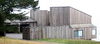
July 29, 2005 110-128 Sea Walk Dr.
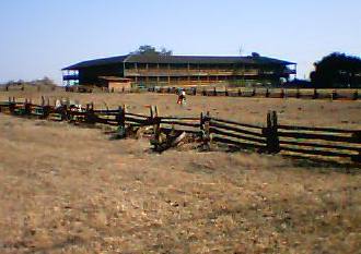
38°40′45″N 123°25′40″W / 38.679167°N 123.427778°WSea Ranch 8 De Turk Round Barn 
April 21, 2004 819 Donahue St.
38°26′27″N 122°43′31″W / 38.440844°N 122.7252°WSanta Rosa 9 Dry Creek-Warm Springs Valleys Archeological District December 9, 1977 Address Restricted Healdsburg 10 Duncan's Landing Site 
November 12, 1971 Address Restricted Jenner 11 Ellis-Martin House 
October 4, 2006 1197 E. Washington St.
38°14′43″N 122°37′48″W / 38.245186°N 122.630089°WPetaluma 12 Fort Ross 
October 15, 1966 N of Fort Ross on CA 1
38°30′51″N 123°14′34″W / 38.514167°N 123.242778°WFort Ross 13 Fort Ross Commander's House 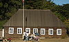
April 15, 1970 N of Fort Ross on CA 1, Fort Ross State Historical Monument Fort Ross Also known as Rotchev House 14 Free Public Library of Petaluma 
June 23, 1988 20 Fourth St.
38°13′57″N 122°38′24″W / 38.232572°N 122.639992°WPetaluma 15 The Gables 
September 20, 1984 4257 Petaluma Hill Rd.
38°23′37″N 122°41′35″W / 38.393544°N 122.693003°WSanta Rosa 16 Geyserville Union School October 24, 1979 Main St.
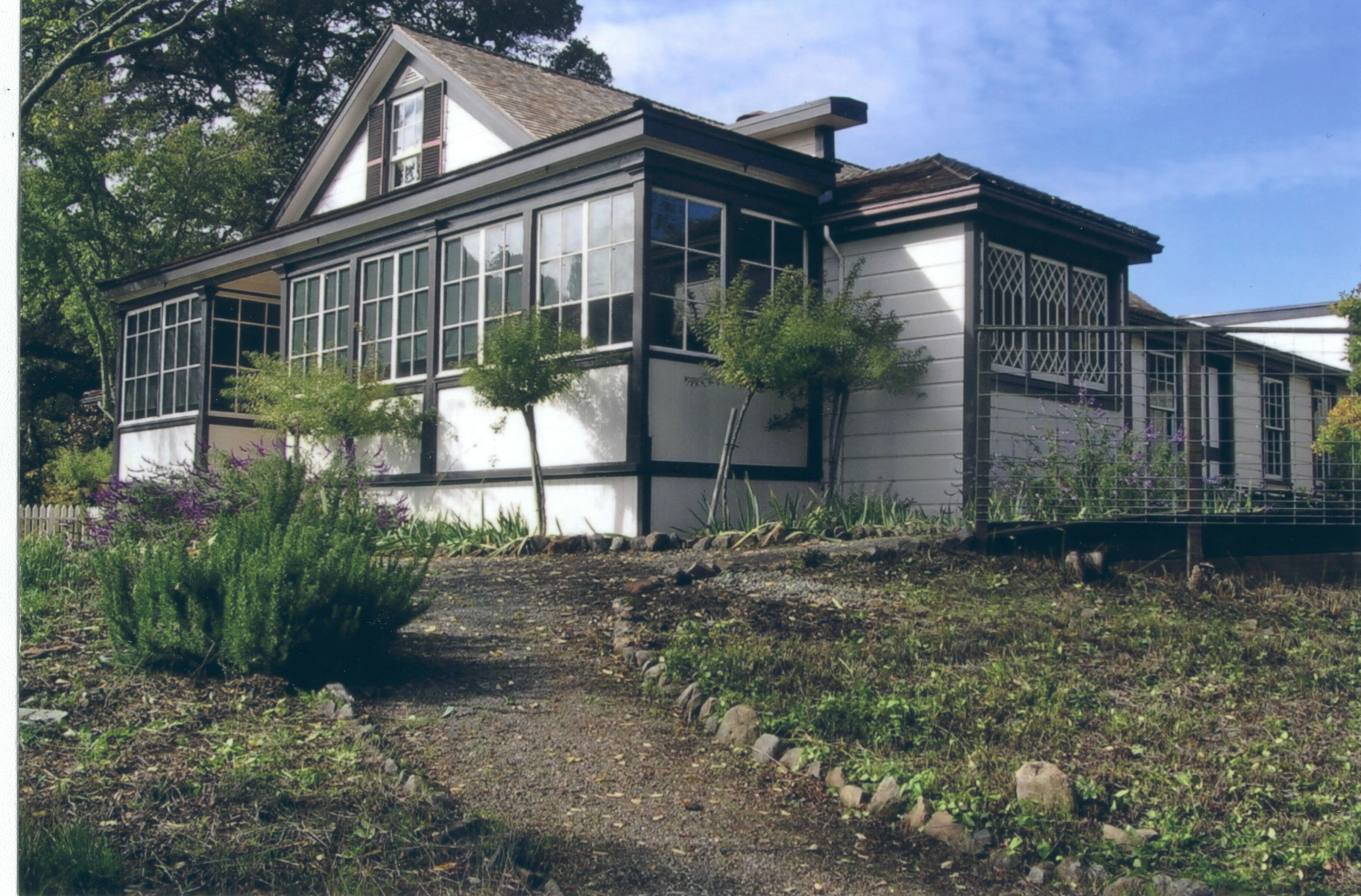
38°42′28″N 122°54′23″W / 38.707778°N 122.906389°WGeyserville Demolished in 1994[5] 17 Glen Oaks Ranch 
October 21, 1994 13255 Sonoma Hwy.
38°22′14″N 122°30′47″W / 38.370561°N 122.513178°WGlen Ellen 18 Gold Ridge Farm 
December 14, 1978 W of Sebastopol
38°23′51″N 122°50′01″W / 38.3975°N 122.833611°WSebastopol 19 Gould-Shaw House 
September 10, 1992 215 N. Cloverdale Blvd.
38°48′25″N 123°01′03″W / 38.806944°N 123.0175°WCloverdale 20 Guerneville Bridge 
August 4, 1989 Rt. 116 over Russian River
38°30′04″N 122°59′40″W / 38.501111°N 122.994444°WGuerneville 21 Healdsburg Memorial Bridge April 14, 2011 Healdsburg Ave., junction of Front St.
38°36′14″N 122°51′36″W / 38.603889°N 122.86°WHealdsburg Highway Bridges of California MPS 22 Healdsburg Carnegie Library 
July 6, 1988 221 Matheson St.
38°37′13″N 122°51′58″W / 38.620278°N 122.866111°WHealdsburg Now known as the Healdsburg Museum 23 Hicks House 
July 21, 1987 3160 Hicks Rd.
38°26′14″N 122°51′54″W / 38.437222°N 122.865°WGraton 24 Hinds Hotel 
January 31, 1979 306 Bohemian Hwy.
38°22′20″N 122°54′53″W / 38.372222°N 122.914722°WFreestone 25 William Hood House 
February 6, 1998 7501 Sonoma Hwy
38°26′33″N 122°34′41″W / 38.442456°N 122.577953°WSanta Rosa 26 Hotel Chauvet 
February 15, 1990 13756 Arnold Dr.
38°21′44″N 122°31′34″W / 38.362256°N 122.526136°WGlen Ellen 27 Hotel La Rose 
August 3, 1978 5th and Wilson Sts.
38°26′17″N 122°43′10″W / 38.438056°N 122.719444°WSanta Rosa 28 Knipp and Stengel Ranch Barn 
January 29, 1987 CA 1
38°42′57″N 123°27′17″W / 38.715833°N 123.454722°WSea Ranch 29 James H. and Frances E. Laughlin House 
April 26, 1979 SE of Windsor on Lone Redwood Rd.
38°30′46″N 122°47′02″W / 38.512778°N 122.783889°WWindsor 30 Llano Road Roadhouse 
May 22, 1978 4353 Gravenstein Hwy., S
38°21′29″N 122°46′04″W / 38.358056°N 122.767778°WSebastopol 31 Jack London Ranch 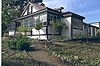
October 15, 1966 0.4 mi. W of Glen Ellen in Jack London Historical State Park
38°21′02″N 122°32′35″W / 38.350556°N 122.543056°WGlen Ellen 32 W. H. Lumsden House 
August 11, 1983 727 Mendocino St.
38°26′47″N 122°43′01″W / 38.446389°N 122.716944°WSanta Rosa 33 Madrona Manor 
April 2, 1987 1001 Westside Rd.
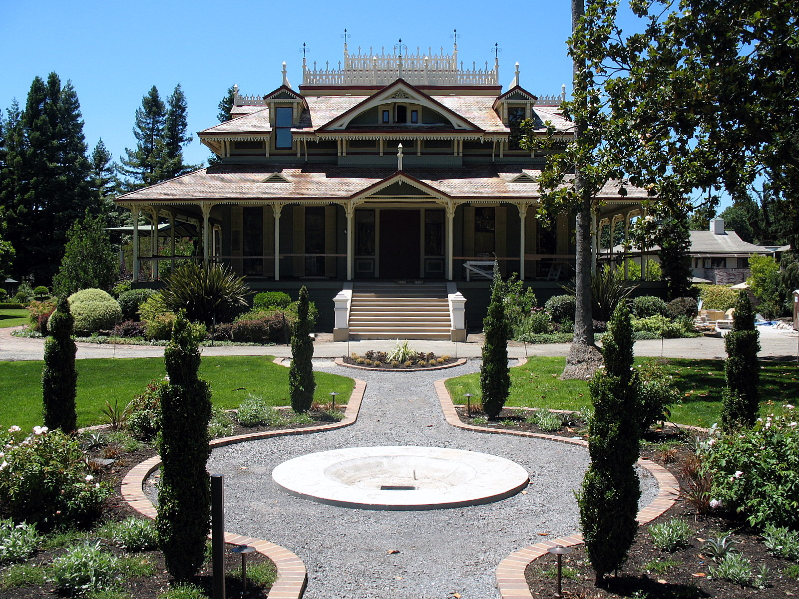
38°36′17″N 122°53′07″W / 38.604722°N 122.885278°WHealdsburg Also known as Madrona Knoll Rancho District 34 McDonald Mansion 
March 1, 1974 1015 McDonald Ave.
38°27′01″N 122°42′15″W / 38.450278°N 122.704167°WSanta Rosa 35 Old Petaluma Opera House 
December 22, 1978 147-149 Kentucky St.
38°14′06″N 122°38′31″W / 38.235017°N 122.641844°WPetaluma 36 Old Post Office 
November 16, 1979 425 7th St.
38°26′31″N 122°43′01″W / 38.441944°N 122.716944°WSanta Rosa Now home of the Sonoma County Museum 37 Orange Lawn 
June 9, 2008 645 Charles Van Damme Way
38°17′22″N 122°26′46″W / 38.289478°N 122.446133°WSonoma 38 Park Apartments 
April 26, 1979 300 Santa Rosa Ave.
38°26′07″N 122°42′41″W / 38.435261°N 122.711478°WSanta Rosa 39 Petaluma Adobe 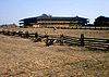
April 15, 1970 4 mi. E of Petaluma on Casa Grande Rd.
38°15′20″N 122°35′03″W / 38.255425°N 122.584253°WPetaluma 40 Petaluma and Santa Rosa Railway Powerhouse 
July 23, 1991 238-258 Petaluma Ave.
38°24′05″N 122°49′19″W / 38.401389°N 122.821944°WSebastopol 41 Petaluma Historic Commercial District 
March 31, 1995 Along Petaluma Blvd., between B and Prospect Sts.
38°14′03″N 122°38′25″W / 38.234058°N 122.640272°WPetaluma 42 Petaluma Silk Mill 
March 6, 1986 420 Jefferson St.
38°14′10″N 122°37′51″W / 38.236114°N 122.630847°WPetaluma 43 Simon Pinschower House 
February 25, 1982 302 N. Main St.
38°48′31″N 123°00′59″W / 38.808611°N 123.016389°WCloverdale 44 Railroad Square District 
April 20, 1979 Roughly bounded by 3rd, Davis, Wilson, and 6th Sts. and Santa Rosa Creek
38°26′14″N 122°43′13″W / 38.437222°N 122.720278°WSanta Rosa 45 The Ranch Site July 14, 1971 Address Restricted Bodega Bay 46 Rosenburg's Department Store 
December 29, 1994 700 Fourth St.
38°26′28″N 122°42′40″W / 38.441111°N 122.711111°WSanta Rosa 47 Salt Point State Park Archeological District March 24, 1971 Address Restricted Salt Point State Park 48 Sebastopol Depot of the Petaluma and Santa Rosa Railway 
February 16, 1996 261 S. Main St.
38°24′03″N 122°49′19″W / 38.400833°N 122.821944°WSebastopol 49 Isaac E. Shaw Building 
January 25, 1991 219 N. Cloverdale Blvd.
38°48′24″N 123°01′06″W / 38.806667°N 123.018333°WCloverdale 50 Sonoma Depot 
April 3, 1975 284 1st St., W
38°17′46″N 122°27′27″W / 38.296161°N 122.457461°WSonoma 51 Sonoma Grammar School 
November 28, 1980 276 E. Napa St.
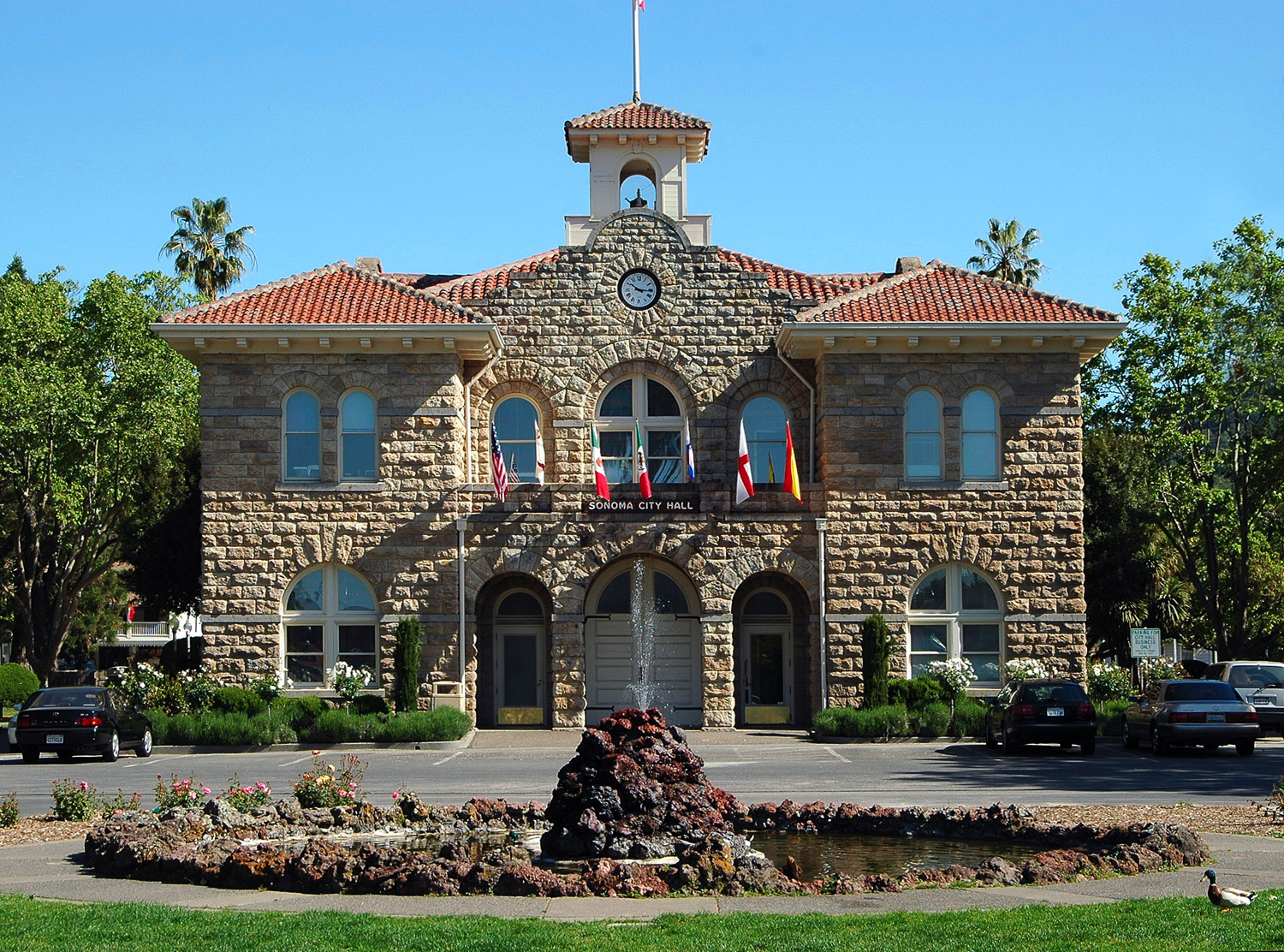
38°17′30″N 122°27′10″W / 38.291664°N 122.452711°WSonoma 52 Sonoma Plaza 
April 3, 1975 Center of Sonoma
38°17′37″N 122°27′12″W / 38.293611°N 122.453333°WSonoma Boundary increase (added May 6, 1992): Area S and E of town plaza, along Broadway and the N side of E. Napa St. 53 Sonoma State Home-Main Building 
October 6, 2000 15000 Arnold Dr.
38°20′51″N 122°31′06″W / 38.347472°N 122.518325°WEldridge Also known as Sonoma Developmental Center 54 SS Pomona (Shipwreck) 
January 31, 2008 Fort Ross Cove, off Fort Ross Historic State Park
38°30′37″N 123°14′44″W / 38.510278°N 123.245556°WJenner 55 George A. Strout House 
June 17, 1980 253 Florence Ave.
38°24′11″N 122°49′40″W / 38.403056°N 122.827778°WSebastopol 56 Philip Sweed House 
June 18, 1992 301 Keokuk St.
38°14′11″N 122°38′47″W / 38.2363°N 122.646253°WPetaluma 57 Sweet House 
January 14, 1988 607 Cherry St.
38°26′42″N 122°42′56″W / 38.445°N 122.715556°WSanta Rosa 58 Temelec Hall 
April 19, 2006 220 and 221 Temelec Circle
38°15′57″N 122°29′59″W / 38.265836°N 122.499647°WTemelec 59 US Post Office-Petaluma 
January 11, 1985 120 4th St.
38°13′55″N 122°38′16″W / 38.231814°N 122.6377°WPetaluma 60 Vallejo Estate 
June 29, 1972 Corner of Spain and W. 3rd Sts.
38°17′56″N 122°27′46″W / 38.298867°N 122.462647°WSonoma 61 Walters Ranch 
October 7, 1977 6 mi. S of Healdsburg at 6050 Westside Rd.
38°32′16″N 122°52′05″W / 38.537778°N 122.868056°WHealdsburg 62 Wasserman House 
January 31, 1979 930 Mendocino Ave.
38°27′02″N 122°42′59″W / 38.450556°N 122.716389°WSanta Rosa 63 Watson School 
August 18, 1978 15000 Bodega Hwy.
38°21′21″N 122°56′16″W / 38.355833°N 122.937778°WBodega See also
- National Register of Historic Places listings in California
- List of National Historic Landmarks in California
References
- ^ The latitude and longitude information provided in this table was derived originally from the National Register Information System, which has been found to be fairly accurate for about 99% of listings. For about 1% of NRIS original coordinates, experience has shown that one or both coordinates are typos or otherwise extremely far off; some corrections may have been made. A more subtle problem causes many locations to be off by up to 150 yards, depending on location in the country: most NRIS coordinates were derived from tracing out latitude and longitudes off of USGS topographical quadrant maps created under North American Datum of 1927, which differs from the current, highly accurate GPS system used by Google maps. Chicago is about right, but NRIS longitudes in Washington are higher by about 4.5 seconds, and are lower by about 2.0 seconds in Maine. Latitudes differ by about 1.0 second in Florida. Some locations in this table may have been corrected to current GPS standards.
- ^ "National Register of Historic Places: Weekly List Actions". National Park Service, United States Department of the Interior. Retrieved on November 10, 2011.
- ^ Numbers represent an ordering by significant words. Various colorings, defined here, differentiate National Historic Landmark sites and National Register of Historic Places Districts from other NRHP buildings, structures, sites or objects.
- ^ "National Register Information System". National Register of Historic Places. National Park Service. . http://nrhp.focus.nps.gov/natreg/docs/All_Data.html.
- ^ Hillenmeyer, Katy (April 1, 2004). "$2.5 Million Office-Retail Complex Proposed for Geyserville". The Press Democrat (Santa Rosa, CA): p. E.1.
U.S. National Register of Historic Places Topics Lists by states Alabama • Alaska • Arizona • Arkansas • California • Colorado • Connecticut • Delaware • Florida • Georgia • Hawaii • Idaho • Illinois • Indiana • Iowa • Kansas • Kentucky • Louisiana • Maine • Maryland • Massachusetts • Michigan • Minnesota • Mississippi • Missouri • Montana • Nebraska • Nevada • New Hampshire • New Jersey • New Mexico • New York • North Carolina • North Dakota • Ohio • Oklahoma • Oregon • Pennsylvania • Rhode Island • South Carolina • South Dakota • Tennessee • Texas • Utah • Vermont • Virginia • Washington • West Virginia • Wisconsin • WyomingLists by territories Lists by associated states Other  Category:National Register of Historic Places •
  Portal:National Register of Historic Places
Municipalities and communities of Sonoma County, California County seat: Santa Rosa Cities and towns Cloverdale | Cotati | Healdsburg | Petaluma | Rohnert Park | Santa Rosa | Sebastopol | Sonoma | Windsor
CDPs Bloomfield | Bodega | Bodega Bay | Boyes Hot Springs | Carmet | Cazadero | El Verano | Eldridge | Fetters Hot Springs-Agua Caliente | Forestville | Fulton | Geyserville | Glen Ellen | Graton | Guerneville | Jenner | Kenwood | Larkfield-Wikiup | Monte Rio | Occidental | Penngrove | Roseland | Salmon Creek | Sea Ranch | Sereno del Mar | Temelec | Timber Cove | Valley Ford
Unincorporated
communitiesAnnapolis | Asti | Camp Meeker | Duncans Mills | Freestone | Guernewood Park | Lakeville | Mark West | Mark West Springs | Rio Dell | Rio Nido | Schellville | Stewarts Point | Two Rock | Venado | Villa Grande | Vineburg
Indian reservations Categories:- History of Sonoma County, California
- National Register of Historic Places in the San Francisco Bay Area
- National Register of Historic Places in California by county
- Lists of National Register of Historic Places in California
- National Register of Historic Places in Sonoma County, California
-


Wikimedia Foundation. 2010.