- Monte Rio, California
-
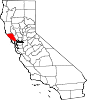
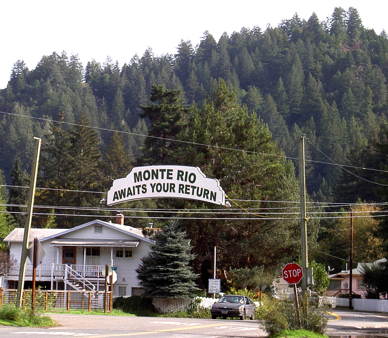
Monte Rio — census-designated place — Leaving Monte Rio eastbound on "D" Street Location in Sonoma County and the state of California
Coordinates: 38°28′13″N 123°0′50″W / 38.47028°N 123.01389°WCoordinates: 38°28′13″N 123°0′50″W / 38.47028°N 123.01389°W[1] Country  United States
State  California
County Sonoma Area[2] - Total 1.977 sq mi (5.119 km2) - Land 1.904 sq mi (4.930 km2) - Water 0.073 sq mi (0.189 km2) 3.68% Elevation[3] 46 ft (14 m) Population (2010) - Total 1,152 - Density 582.7/sq mi (225/km2) Time zone PST (UTC-8) - Summer (DST) PDT (UTC-7) ZIP code 95462 Area code(s) 707 FIPS code 06-48928 GNIS feature ID 1656174 Monte Rio is a census-designated place (CDP) in Sonoma County, California along the Russian River near the Pacific Ocean. The town of Guerneville lies east of Monte Rio, and Jenner is slightly north-west. The population was 1,152 at the 2010 census, up from 1,104 at the 2000 census. Bohemian Grove is located in Monte Rio.
Contents
Geography
According to the United States Census Bureau, the CDP has a total area of 2.0 square miles (5.2 km2). 1.9 square miles (4.9 km2) of it is land and 0.07 square miles (0.18 km2) of it (3.68%) is water.
History
Starting in the 1870s, Monte Rio was a stop on the North Pacific Coast Railroad connecting Cazadero to the Sausalito, California ferry.
Demographics
2010
The 2010 United States Census[4] reported that Monte Rio had a population of 1,152. The population density was 582.9 people per square mile (225.0/km²). The racial makeup of Monte Rio was 1,047 (90.9%) White, 10 (0.9%) African American, 6 (0.5%) Native American, 11 (1.0%) Asian, 1 (0.1%) Pacific Islander, 16 (1.4%) from other races, and 61 (5.3%) from two or more races. Hispanic or Latino of any race were 79 persons (6.9%).
The Census reported that 93.6% of the population lived in households and 6.4% lived in non-institutionalized group quarters.
There were 576 households, out of which 85 (14.8%) had children under the age of 18 living in them, 151 (26.2%) were opposite-sex married couples living together, 43 (7.5%) had a female householder with no husband present, 32 (5.6%) had a male householder with no wife present. There were 42 (7.3%) unmarried opposite-sex partnerships, and 37 (6.4%) same-sex married couples or partnerships. 247 households (42.9%) were made up of individuals and 61 (10.6%) had someone living alone who was 65 years of age or older. The average household size was 1.87. There were 226 families (39.2% of all households); the average family size was 2.54.
The population was spread out with 132 people (11.5%) under the age of 18, 63 people (5.5%) aged 18 to 24, 253 people (22.0%) aged 25 to 44, 528 people (45.8%) aged 45 to 64, and 176 people (15.3%) who were 65 years of age or older. The median age was 50.7 years. For every 100 females there were 119.8 males. For every 100 females age 18 and over, there were 125.2 males.
There were 930 housing units at an average density of 470.5 per square mile (181.7/km²), of which 56.9% were owner-occupied and 43.1% were occupied by renters. The homeowner vacancy rate was 3.7%; the rental vacancy rate was 9.1%. 57.0% of the population lived in owner-occupied housing units and 36.5% lived in rental housing units.
2000
As of the census[5] of 2000, there were 1,104 people, 549 households, and 233 families residing in the CDP. The population density was 753.5 per square mile (290.0/km²). There were 807 housing units at an average density of 550.8 per square mile (212.0/km²). The racial makeup of the CDP was 91.76% White, 0.72% African American, 0.54% Native American, 0.72% Asian, 0.09% Pacific Islander, 1.99% from other races, and 4.17% from two or more races. Hispanic or Latino of any race were 7.34% of the population.
There were 549 households out of which 19.9% had children under the age of 18 living with them, 24.0% were married couples living together, 12.6% had a female householder with no husband present, and 57.4% were non-families. 41.0% of all households were made up of individuals and 7.7% had someone living alone who was 65 years of age or older. The average household size was 2.01 and the average family size was 2.75.
In the CDP the population was spread out with 18.3% under the age of 18, 5.2% from 18 to 24, 30.3% from 25 to 44, 35.1% from 45 to 64, and 11.2% who were 65 years of age or older. The median age was 44 years. For every 100 females there were 110.3 males. For every 100 females age 18 and over, there were 113.7 males.
The median income for a household in the CDP was $38,299, and the median income for a family was $46,336. Males had a median income of $29,135 versus $28,750 for females. The per capita income for the CDP was $20,262. About 12.1% of families and 16.0% of the population were below the poverty line, including 22.7% of those under age 18 and none of those age 65 or over.
Politics
In the state legislature Monte Rio is located in the 2nd Senate District, represented by Democrat Noreen Evans, and in the 1st Assembly District, represented by Democrat Wesley Chesbro. Federally, Monte Rio is located in California's 6th congressional district.
Bohemian Grove
Bohemian Grove, a private club, has extensive land holdings in the area, which are used for summer retreats involving many high-ranking members of the business and government communities. The club has stirred opposition in some parts of the community, at the same time the club provides summer employment for local youth. Its summer concert series has significant community support.[citation needed]
External links
References
- ^ "US Gazetteer files: 2010, 2000, and 1990". United States Census Bureau. 2011-02-12. http://www.census.gov/geo/www/gazetteer/gazette.html. Retrieved 2011-04-23.
- ^ U.S. Census
- ^ U.S. Geological Survey Geographic Names Information System: Monte Rio
- ^ All data are derived from the United States Census Bureau reports from the 2010 United States Census, and are accessible on-line here. The data on unmarried partnerships and same-sex married couples are from the Census report DEC_10_SF1_PCT15. All other housing and population data are from Census report DEC_10_DP_DPDP1. Both reports are viewable online or downloadable in a zip file containing a comma-delimited data file. The area data, from which densities are calculated, are available on-line here. Percentage totals may not add to 100% due to rounding. The Census Bureau defines families as a household containing one or more people related to the householder by birth, opposite-sex marriage, or adoption. People living in group quarters are tabulated by the Census Bureau as neither owners nor renters. For further details, see the text files accompanying the data files containing the Census reports mentioned above.
- ^ "American FactFinder". United States Census Bureau. http://factfinder.census.gov. Retrieved 2008-01-31.
Municipalities and communities of Sonoma County, California County seat: Santa Rosa Cities and towns Cloverdale | Cotati | Healdsburg | Petaluma | Rohnert Park | Santa Rosa | Sebastopol | Sonoma | Windsor
CDPs Bloomfield | Bodega | Bodega Bay | Boyes Hot Springs | Carmet | Cazadero | El Verano | Eldridge | Fetters Hot Springs-Agua Caliente | Forestville | Fulton | Geyserville | Glen Ellen | Graton | Guerneville | Jenner | Kenwood | Larkfield-Wikiup | Monte Rio | Occidental | Penngrove | Roseland | Salmon Creek | Sea Ranch | Sereno del Mar | Temelec | Timber Cove | Valley Ford
Unincorporated
communitiesAnnapolis | Asti | Camp Meeker | Duncans Mills | Freestone | Guernewood Park | Lakeville | Mark West | Mark West Springs | Rio Dell | Rio Nido | Schellville | Stewarts Point | Two Rock | Venado | Villa Grande | Vineburg
Indian reservations Categories:- Census-designated places in Sonoma County, California


Wikimedia Foundation. 2010.