- Occidental, California
-
Occidental
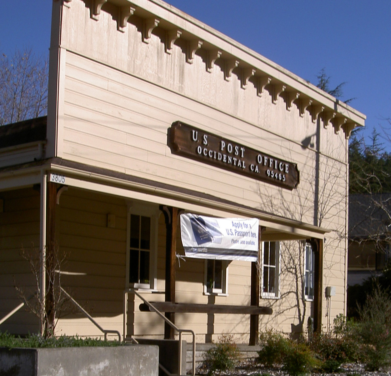
Howards[1]— census-designated place — Occidental, California post office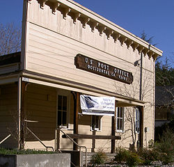 Location in Sonoma County and the state of California
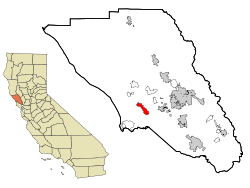
Coordinates: 38°24′27″N 122°56′54″W / 38.4075°N 122.94833°WCoordinates: 38°24′27″N 122°56′54″W / 38.4075°N 122.94833°W Country  United States
State  California
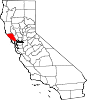
County Sonoma Area[2] – Total 4.966 sq mi (12.862 km2) – Land 4.966 sq mi (12.862 km2) – Water 0 sq mi (0 km2) 0% Elevation[1] 594 ft (181 m) Population (2010) – Total 1,115 – Density 224.5/sq mi (86.7/km2) Time zone PST (UTC-8) – Summer (DST) PDT (UTC-7) ZIP code 95465 Area code(s) 707 FIPS code 06-53266 GNIS feature ID 277568 Occidental is a census-designated place (CDP) in Sonoma County, California, United States. The population was 1,115 at the 2010 census, down from 1,272 at the 2000 census.
Contents
Geography
Occidental is located at 38°24′27″N 122°56′54″W / 38.4074146°N 122.9483307°W.[3] The CDP has a total area of 4.97 sq mi (12.9 km2), all land.[4]
Climate
The cooperative National Weather Service station reports that Occidental has cool, wet winters and warm, dry summers.
Average January temperatures range from 41.8 °F (5.4 °C) to 54.5 °F (12.5 °C) and average July temperatures range from 51.4° to 77.9 °F (25.5 °C). The record highest temperature was 103 °F (39 °C) on July 22, 2006, and the record lowest temperature was 28 °F (−2 °C) on March 11, 2006. There are an average of 12.8 days with highs of 90 °F (32 °C) or higher and an average of 2.1 days with lows of 32 °F (0 °C) or lower.
Average annual rainfall is 55.19 inches (1,402 mm). The wettest year was 1983 with 111.21 inches (2,825 mm) and the dryest year was 1976 with 20.75 inches (527 mm). The most rainfall in one month was 36.62 inches (930 mm) in January 1995. The most rainfall in 24 hours was 8.51 inches (216 mm) on January 5, 1966. Average annual snowfall is only 0.2-inch (5.1 mm). The maximum snowfall was 11.0 inches (280 mm) in January 1974.[5]
History
Founded in 1876, Occidental was a stop on the North Pacific Coast Railroad connecting Cazadero to the Sausalito ferry. In return for donating right-of-way to the railroad, a local landowner named "Dutch Bill" Howards received a lifetime railway pass, and the station was named after him.[6]
The railway caused a rapid expansion of the timber industry, and by 1877 there were six sawmills in the Occidental area. Trains also brought vacationers from San Francisco.[7]
Demographics
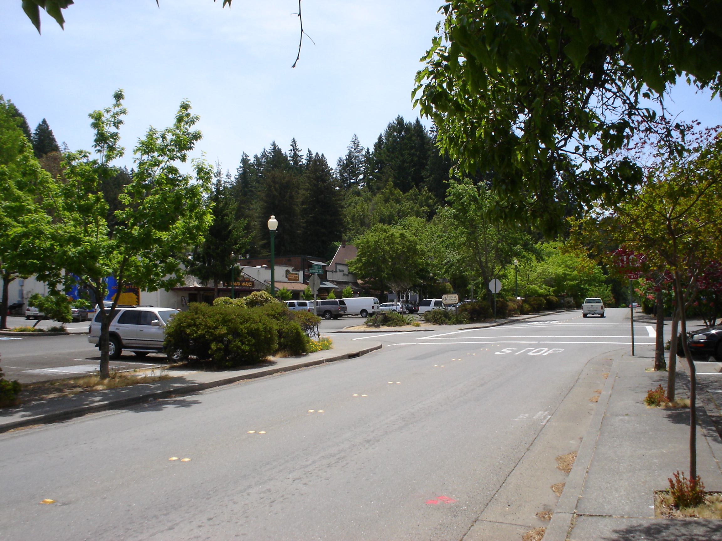
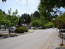 Downtown Occidental, May 2008
2010
The 2010 United States Census[8] reported that Occidental had a population of 1,115. The population density was 224.5 people per square mile (86.7/km²). The racial makeup of Occidental was 992 (89.0%) White, 7 (0.6%) African American, 7 (0.6%) Native American, 31 (2.8%) Asian, 0 (0.0%) Pacific Islander, 23 (2.1%) from other races, and 55 (4.9%) from two or more races. Hispanic or Latino of any race were 81 persons (7.3%).
The Census reported that 100% of the population lived in households.
There were 532 households, out of which 134 (25.2%) had children under the age of 18 living in them, 228 (42.9%) were opposite-sex married couples living together, 44 (8.3%) had a female householder with no husband present, 25 (4.7%) had a male householder with no wife present. There were 39 (7.3%) unmarried opposite-sex partnerships, and 14 (2.6%) same-sex married couples or partnerships. 172 households (32.3%) were made up of individuals and 40 (7.5%) had someone living alone who was 65 years of age or older. The average household size was 2.10. There were 297 families (55.8% of all households); the average family size was 2.65.
The population was spread out with 192 people (17.2%) under the age of 18, 52 people (4.7%) aged 18 to 24, 264 people (23.7%) aged 25 to 44, 462 people (41.4%) aged 45 to 64, and 145 people (13.0%) who were 65 years of age or older. The median age was 48.5 years. For every 100 females there were 103.8 males. For every 100 females age 18 and over, there were 99.8 males.
There were 673 housing units at an average density of 135.5 per square mile (52.3/km²), of which 68.6% were owner-occupied and 31.4% were occupied by renters. The homeowner vacancy rate was 4.2%; the rental vacancy rate was 6.6%. 70.3% of the population lived in owner-occupied housing units and 29.7% lived in rental housing units.
2000
As of the census[4] of 2000, there were 1,272 people, 524 households, and 319 families residing in the CDP. The population density was 255/sq mi (99/km²). There were 632 housing units at an average density of 127/sq mi (49/km²). The racial makeup of the CDP was 92.77% White, 0.55% African American, 0.79% Native American, 1.18% Asian, 0.24% Pacific Islander, 1.57% from other races, and 2.91% from two or more races. Hispanic or Latino of any race were 4.64% of the population.
There were 524 households out of which 32.3% had children under the age of 18 living with them, 46.2% were married couples living together, 10.3% had a female householder with no husband present, and 39.1% were non-families. 27.1% of all households were made up of individuals and 5.2% had someone living alone who was 65 years of age or older. The average household size was 2.40 and the average family size was 2.91.
In the CDP the population was spread out with 22.8% under the age of 18, 7.6% from 18 to 24, 27.7% from 25 to 44, 33.3% from 45 to 64, and 8.6% who were 65 years of age or older. The median age was 41 years. For every 100 females there were 99.7 males. For every 100 females age 18 and over, there were 100.0 males.
The median income for a household in the CDP was $54,000, and the median income for a family was $71,375. Males had a median income of $46,806 versus $29,306 for females. The per capita income for the CDP was $25,970. About 7.9% of families and 9.8% of the population were below the poverty line, including 13.7% of those under age 18 and none of those age 65 or over.
Politics
In the state legislature Occidental is located in the 2nd Senate District and in the 1st Assembly District. Federally, Occidental is located in California's 6th congressional district.
Gathering place
Occidental is unique for its high concentration of visionaries and famous artists during recent history, and was the hub of community-centered social movements in the late 1960s and early 1970s, giving rise to nearby communes such as Morningstar, Wheeler Ranch, and Star Mountain.[citation needed]
There was a point in the early 1990s when the town was also a center of the "neo-hippie" movement in Sonoma County, but high property prices and other economic pressures have since driven out the young families that fed this movement.[citation needed]
For many years Occidental has been known for its Italian restaurants, which serve generous family-style dinners for a fixed price (following the European custom).[9] The two Italian restaurants today are the Union Hotel (founded in 1879) at 3703 Main Street and Negri's at 3700 Bohemian Highway.[10] More recently, the large number of craft breweries and wineries in the area have made Barley and Hops Tavern and Sonoma Fine Wine store in downtown Occidental local and tourist destinations.[11][12]
Notable natives and residents
- Les Claypool
- Nick Gravenites
- Mickey Hart
- Kitarō
- Alicia Bay Laurel
- Terence McKenna
- Max Thieriot lived here prior to moving into his own home in Manhattan Beach.
- Tom Waits
References
- ^ a b U.S. Geological Survey Geographic Names Information System: Occidental
- ^ U.S. Census
- ^ "US Gazetteer files: 2010, 2000, and 1990". United States Census Bureau. 2011-02-12. http://www.census.gov/geo/www/gazetteer/gazette.html. Retrieved 2011-04-23.
- ^ a b "American FactFinder". United States Census Bureau. http://factfinder.census.gov. Retrieved 2008-01-31.
- ^ Western Climatic Center website
- ^ "Occidental: History". http://www.occidental.org/history/history1.html. Retrieved 2008-01-11.[dead link]
- ^ "Occidental: History". http://www.occidental.org/history/history5.html. Retrieved 2008-01-11.[dead link]
- ^ All data are derived from the United States Census Bureau reports from the 2010 United States Census, and are accessible on-line here. The data on unmarried partnerships and same-sex married couples are from the Census report DEC_10_SF1_PCT15. All other housing and population data are from Census report DEC_10_DP_DPDP1. Both reports are viewable online or downloadable in a zip file containing a comma-delimited data file. The area data, from which densities are calculated, are available on-line here. Percentage totals may not add to 100% due to rounding. The Census Bureau defines families as a household containing one or more people related to the householder by birth, opposite-sex marriage, or adoption. People living in group quarters are tabulated by the Census Bureau as neither owners nor renters. For further details, see the text files accompanying the data files containing the Census reports mentioned above.
- ^ Eyewitness account by Robert E. Nylund
- ^ Yahoo yellow pages
- ^ Delsol, Christine (January 18, 2009). "A coastal escape in tiny Occidental". The San Francisco Chronicle. http://www.sfgate.com/cgi-bin/article.cgi?f=/c/a/2009/01/18/TR3415690N.DTL&feed=rss.travel.
- ^ http://blog.pressdemocrat.com/biteclub/
External links
Municipalities and communities of Sonoma County, California Cities and towns Cloverdale | Cotati | Healdsburg | Petaluma | Rohnert Park | Santa Rosa | Sebastopol | Sonoma | Windsor
CDPs Bloomfield | Bodega | Bodega Bay | Boyes Hot Springs | Carmet | Cazadero | El Verano | Eldridge | Fetters Hot Springs-Agua Caliente | Forestville | Fulton | Geyserville | Glen Ellen | Graton | Guerneville | Jenner | Kenwood | Larkfield-Wikiup | Monte Rio | Occidental | Penngrove | Roseland | Salmon Creek | Sea Ranch | Sereno del Mar | Temelec | Timber Cove | Valley Ford
Unincorporated
communitiesAnnapolis | Asti | Camp Meeker | Duncans Mills | Freestone | Guernewood Park | Lakeville | Mark West | Mark West Springs | Rio Dell | Rio Nido | Schellville | Stewarts Point | Two Rock | Venado | Villa Grande | Vineburg
Indian reservations Categories:- Census-designated places in Sonoma County, California


Wikimedia Foundation. 2010.