- Council Grove, Kansas
-
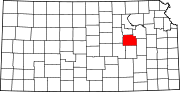
Council Grove, Kansas — City — Downtown Council Grove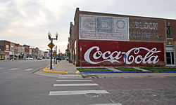 Location of Council Grove, Kansas
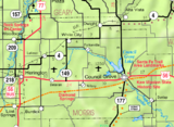
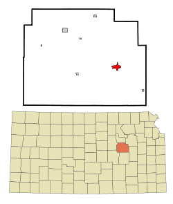 Detailed map of Council Grove, Kansas
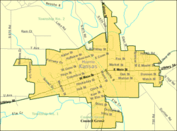
Coordinates: 38°39′38″N 96°29′23″W / 38.66056°N 96.48972°WCoordinates: 38°39′38″N 96°29′23″W / 38.66056°N 96.48972°W Country United States State Kansas County Morris Platted Incorporated Government - Type Mayor–Council Area - Total 1.8 sq mi (4.6 km2) - Land 1.8 sq mi (4.6 km2) - Water 0.0 sq mi (0.0 km2) Elevation 1,237 ft (377 m) Population (2010)[1] - Total 2,182 - Density 1,212.2/sq mi (468/km2) Time zone Central (CST) (UTC-6) - Summer (DST) CDT (UTC-5) ZIP codes 66846, 66873 Area code(s) 620 FIPS code 20-15925[2] GNIS feature ID 0477021[3] Website www.CouncilGrove.com Council Grove is a city in Morris County, Kansas, United States. It was named after an agreement between European Americans and the Osage Nation about allowing settlers' wagon trains to pass through the area and proceed to the West. Pioneers gathered at a grove of trees so that wagons could band together for their trip west. It is the county seat of Morris County[4]. As of the 2010 census, the city population was 2,182.[1]
Contents
History
Council Grove was one of the last stops on the Santa Fe Trail heading southwest. The first European-American settler was Seth Hays, who came to the area in 1847 to trade with the Kaw tribe, which had a reservation established in the area in 1846. Hays was a grandson of Daniel Boone. In 1858, the town was officially incorporated by the legislature. Hays also opened a restaurant in 1857, the Hays House, which is said to be the oldest continuously operating restaurant west of the Mississippi River.
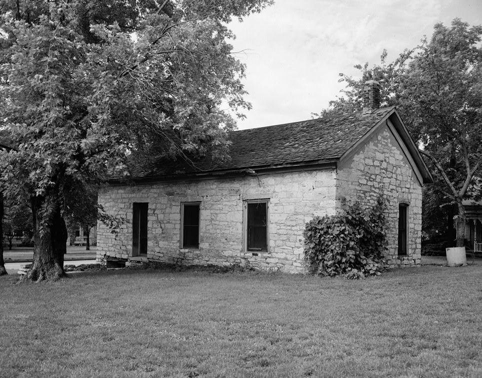
The town has 13 sites listed on the National Register of Historic Places. One is the Post Office Oak. Travelers left their mail in this designated tree to be picked up by others going in the right direction. General Custer of the United States Army slept here with his troops during the American Civil War, under a large tree known now as the Custer Elm.
The National Old Trails Road, also known as the Ocean-to-Ocean Highway, was established in 1912, and was routed through Herington, Delavan, Council Grove.
In 1943, German and Italian prisoners of World War II were brought to Kansas and other Midwest states as a means of solving the labor shortage caused by American men serving in the war effort. Large internment camps were established in Kansas: Camp Concordia, Camp Funston (at Fort Riley), Camp Phillips (at Salina under Fort Riley). Fort Riley established 12 smaller branch camps, including Council Grove.[5]
Presently, both the Council Grove Reservoir and the City Lake are popular for recreational activities. While both lakes are open to the public and motorized boats, most of the land around the City Lake is privately owned with over three hundred lake houses. Building is restricted on the larger Council Grove Reservoir but there are many well-positioned camp sites. Excellent fishing is found on these lakes as well. Walleye, crappie, white bass, and many more fish are in both the Council Grove Reservoir and the City Lake.
Geography
Council Grove is located at 38°39′38″N 96°29′23″W / 38.66056°N 96.48972°W (38.660678, -96.489672)[6]. According to the United States Census Bureau, the city has a total area of 1.8 square miles (4.7 km2), all of it land.
Area events
Area attractions
- Allegawaho Heritage Memorial Park
- Kaw Mission, state historic site.
- 1857 Hays House
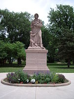
- Madonna of the Trail monument
Demographics
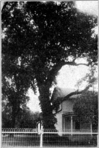
 Council Oak at Council Grove (1912)
Historical populations Census Pop. %± 1960 2,664 — 1970 2,403 −9.8% 1980 2,381 −0.9% 1990 2,228 −6.4% 2000 2,321 4.2% 2010 2,182 −6.0% U.S. Decennial Census As of the census[2] of 2000, there were 2,321 people, 1,002 households, and 634 families residing in the city. The population density was 1,293.2 people per square mile (500.6/km²). There were 1,099 housing units at an average density of 612.3 per square mile (237.1/km²). The racial makeup of the city was 98.23% White, 0.26% African American, 0.22% Native American, 0.22% Asian, 0.47% from other races, and 0.60% from two or more races. Hispanic or Latino of any race were 2.11% of the population.
There were 1,002 households out of which 29.0% had children under the age of 18 living with them, 51.3% were married couples living together, 8.7% had a female householder with no husband present, and 36.7% were non-families. 34.8% of all households were made up of individuals and 19.0% had someone living alone who was 65 years of age or older. The average household size was 2.24 and the average family size was 2.90.
In the city the population was spread out with 24.7% under the age of 18, 6.5% from 18 to 24, 23.8% from 25 to 44, 21.7% from 45 to 64, and 23.4% who were 65 years of age or older. The median age was 42 years. For every 100 females there were 89.2 males. For every 100 females age 18 and over, there were 82.8 males.
The median income for a household in the city was $28,949, and the median income for a family was $37,061. Males had a median income of $29,500 versus $20,625 for females. The per capita income for the city was $20,189. About 7.4% of families and 8.5% of the population were below the poverty line, including 8.7% of those under age 18 and 15.6% of those age 65 or over.
Education
Primary and secondary education
Council Grove is part of Unified School District 417.[7][8] Council Grove High School is a high school located at 129 Hockaday St., Council Grove. Students from the surrounding areas of Dwight, Alta Vista, and Wilsey travel to Council Grove to attend high school.[9] Council Grove Middle School includes grades 6 through 8 and is located at 706 E Main St. Council Grove Elementary School includes kindergarten through the 5th grade and is attached to the middle school. The athletic teams are known as the Braves.
Transporation
Council Grove was located on the National Old Trails Road, also known as the Ocean-to-Ocean Highway, that was established in 1912.
Gallery
-
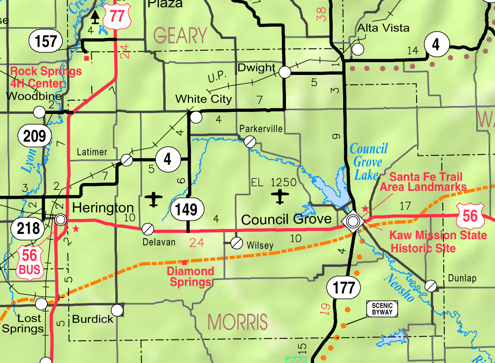
Map of Morris County, Kansas showing Council Grove. Santa Fe Trail is orange.
-

1857 Historic Last Chance Store.
See also
- National Register of Historic Places listings in Morris County, Kansas
- Santa Fe Trail
- National Old Trails Road
Further reading
- Historical information about Council Grove
- Biographical information on Seth Hays
- Santa Fe Trail Research
- Kansas
- History of the State of Kansas; William G. Cutler; A.T. Andreas Publisher; 1883. (Online HTML eBook)
- Kansas : A Cyclopedia of State History, Embracing Events, Institutions, Industries, Counties, Cities, Towns, Prominent Persons, Etc; 3 Volumes; Frank W. Blackmar; Standard Publishing Co; 944 / 955 / 824 pages; 1912. (Volume1 - Download 54MB PDF eBook),(Volume2 - Download 53MB PDF eBook), (Volume3 - Download 33MB PDF eBook)
- USA
- The Story of the Marking of the Santa Fe Trail by the Daughters of the American Revolution in Kansas and the State of Kansas; Almira Cordry; Crane Co; 164 pages; 1915. (Download 4MB PDF eBook)
- The National Old Trails Road To Southern California, Part 1 (LA to KC); Automobile Club Of Southern California; 64 pages; 1916. (Download 6.8MB PDF eBook)
References
- ^ a b "2010 City Population and Housing Occupancy Status". U.S. Census Bureau. http://factfinder2.census.gov/faces/tableservices/jsf/pages/productview.xhtml?pid=DEC_10_PL_GCTPL2.ST13&prodType=table. Retrieved March 6, 2011.
- ^ a b "American FactFinder". United States Census Bureau. http://factfinder.census.gov. Retrieved 2008-01-31.
- ^ "US Board on Geographic Names". United States Geological Survey. 2007-10-25. http://geonames.usgs.gov. Retrieved 2008-01-31.
- ^ "Find a County". National Association of Counties. http://www.naco.org/Counties/Pages/FindACounty.aspx. Retrieved 2011-06-07.
- ^ List of Prisoner Of War (POW) Camps in Kansas
- ^ "US Gazetteer files: 2010, 2000, and 1990". United States Census Bureau. 2011-02-12. http://www.census.gov/geo/www/gazetteer/gazette.html. Retrieved 2011-04-23.
- ^ USD 417
- ^ Kansas School District Boundary Map
- ^ "Council Grove High School", Great Schools
External links
- City
- Schools
- USD 417, local school district
- Historical
- Maps
- Council Grove City Map, KDOT
- Morris County Map, KDOT
Municipalities and communities of Morris County, Kansas County seat: Council Grove Cities Council Grove | Dunlap | Dwight | Herington‡ | Latimer | Parkerville | White City | Wilsey
Unincorporated
communitiesBurdick | Delavan | Skiddy
Ghost towns Diamond Springs
Footnotes ‡This populated place also has portions in an adjacent county or counties
U.S. National Register of Historic Places Topics Lists by states Alabama • Alaska • Arizona • Arkansas • California • Colorado • Connecticut • Delaware • Florida • Georgia • Hawaii • Idaho • Illinois • Indiana • Iowa • Kansas • Kentucky • Louisiana • Maine • Maryland • Massachusetts • Michigan • Minnesota • Mississippi • Missouri • Montana • Nebraska • Nevada • New Hampshire • New Jersey • New Mexico • New York • North Carolina • North Dakota • Ohio • Oklahoma • Oregon • Pennsylvania • Rhode Island • South Carolina • South Dakota • Tennessee • Texas • Utah • Vermont • Virginia • Washington • West Virginia • Wisconsin • WyomingLists by territories Lists by associated states Other  Category:National Register of Historic Places •
  Portal:National Register of Historic PlacesCategories:
- Cities in Kansas
- County seats in Kansas
- Populated places in Morris County, Kansas
- Native American history
- Kaw tribe
- Osage Nation
- Santa Fe Trail
- Populated places established in 1847
- National Historic Landmarks in Kansas


Wikimedia Foundation. 2010.