- National Old Trails Road
-
National Old Trails Road, also known as the Ocean-to-Ocean Highway, was established in 1912, and became part of the National Auto Trail system in the United States. It was 3,096 miles (4,983 km) long and stretched from Baltimore, Maryland (some old maps indicate New York City was the actual eastern terminus), to California. Much of the route follows the old National Road and the Santa Fe Trail.
Although the western half of the road was signed by the Automobile Club of Southern California in mid-1914, according to their in-house magazine Touring Topics, the routing remained under much discussion until 1917. In particular, the western alignment was debated, with an early proposed routing going though Phoenix, Arizona and San Diego, California, up to San Francisco, California.
Eventually, however, the alignment below was agreed upon, which followed earlier Indian trails, preexisting railroad tracks and, in some cases, new construction.
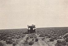
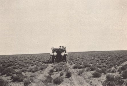
Throughout its life, the road was upgraded and realigned in order to improve the route. But, by 1926, significant portions in the west remained difficult to drive on, and much remained unpaved. Only 800 miles (1,300 km) were paved in 1927. Surprisingly, most of the road that traversed the California desert was widened and paved (or "oiled") by the late '20s, reportedly by a process pioneered by a local road superintendent, and indeed some of this blacktop still can be found to this day.
In 1926, the section west of Las Vegas, New Mexico to Los Angeles, California was certified as U.S. Highway 66, (now better known as U.S. Route 66) by the AASHTO, as was a section in the St. Louis, Missouri area (Manchester Road).
In 1928 and 1929, the Daughters of the American Revolution (DAR) had Madonna of the Trail monuments placed in each of the 12 states through which the highway passes.
After U.S. Route 66 was decommissioned, in eastern California portions of the road were renamed with the old name, and signed accordingly. Most of the modern-day "National Trails Highway" follows latter-day U.S. Route 66, however, and not any of the alignments that actually were part of the original road (the main exception being the section of road between Barstow and Victorville, which follows the almost exact routing of the 1925 realignment of the road). The last alignment of National Old Trails Road in California (and the first alignment of U.S. Route 66) followed a distinct course from the modern-day route between Daggett and Essex, California, and now only survives as a series of now-disconnected jeep trails and abandoned tracks in various stages of decay. The modern day Route 66 in California is a result of a series of realignments that were undertaken in the early 1930s.
Route
Cities along route (east to west):
-
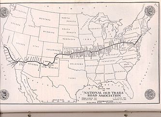
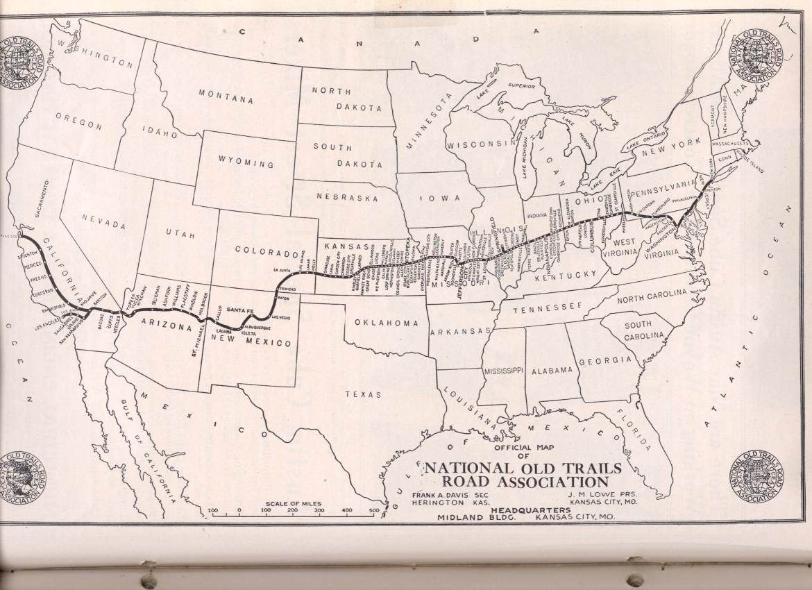
map of the National Old Trails Road
Further reading
- The National Old Trails Road To Southern California, Part 1 (LA to KC); Automobile Club Of Southern California; 64 pages; 1916. (Download 6.8MB PDF eBook)
- Richard K. and Sherry G. Mangum, 2008, The National Old Trails Road in Arizona. Flagstaff, Hexagon Press, ISBN 1891517090
External links
- 'From Names to Numbers - The Origins of the U.S. Numbered Highway System' and 'The National Old Trails Road' (predecessor to Route 66) (Part 1) (Part 2), by Richard F. Weingroff, Federal Highway Administration historian
- National Old Trails Road photo gallery, at Federal Highway Administration
- 'Sagebrush Annie and the Sagebrush Route -- roadside history of part of the National Old Trails Highway in southern California
- Madonna of the Trail | August Leimbach
Categories:- U.S. Route 66
- Auto trails in the United States
- Historic trails and roads in California
- History of the Mojave Desert region
- Historic trails and roads in New Mexico
-
Wikimedia Foundation. 2010.