- McPherson, Kansas
-
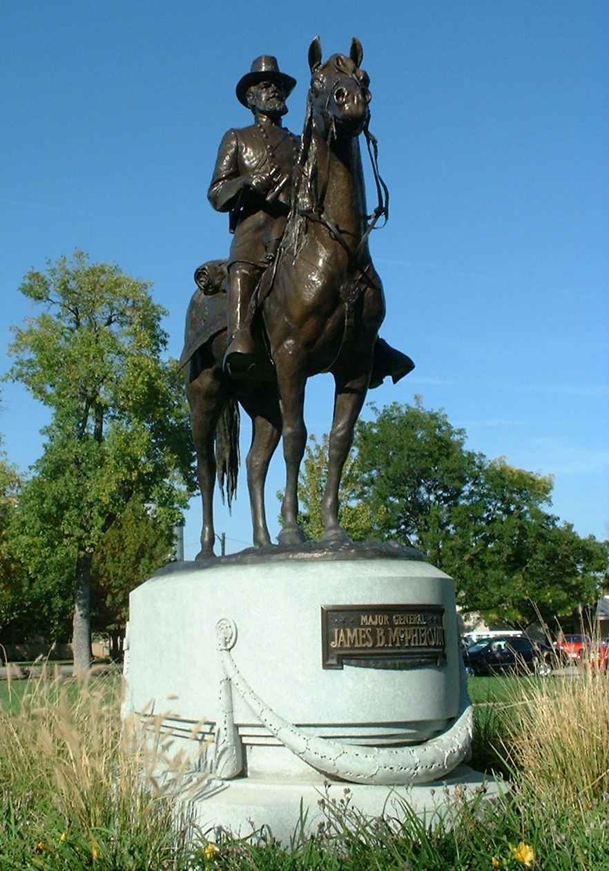
McPherson, Kansas — City — Sculpture of James B. McPherson, 2004 Location of McPherson, Kansas
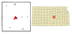 Detailed map of McPherson, Kansas
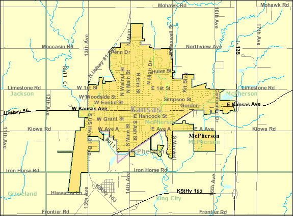
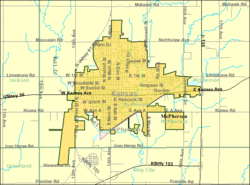
Coordinates: 38°22′19″N 97°39′44″W / 38.37194°N 97.66222°WCoordinates: 38°22′19″N 97°39′44″W / 38.37194°N 97.66222°W Country United States State Kansas County McPherson Platted Incorporated Government - Type Mayor–Council Area - Total 6.2 sq mi (16.1 km2) - Land 6.1 sq mi (15.9 km2) - Water 0.1 sq mi (0.1 km2) Elevation 1,496 ft (456 m) Population (2010)[1] - Total 13,155 - Density 2,121.8/sq mi (819.2/km2) Time zone Central (CST) (UTC-6) - Summer (DST) CDT (UTC-5) ZIP code 67460 Area code(s) 620 FIPS code 20-43950[2] GNIS feature ID 0477193[3] Website www.McPhersonKS.org McPherson is a city in and the county seat of McPherson County, Kansas, United States,[4] in the central part of the state. As of the 2010 census, the city population was 13,155.[1] The city is named after Union General James Birdseye McPherson, a Civil War general. It is home to McPherson College and Central Christian College.
Contents
History
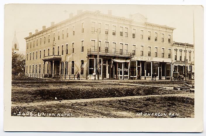
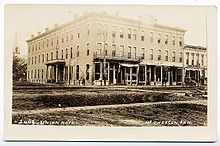 McPherson Union Hotel, 1907 postcard
19th century
McPherson was founded in 1872 by the twelve members of the McPherson Town Company.[5] In 1887, city officials began a failed attempt to have the community named the state capital.
As early as 1875, city leaders of Marion held a meeting to consider a branch railroad from Florence. In 1878, Atchison, Topeka and Santa Fe Railway and parties from Marion County and McPherson County chartered the Marion and McPherson Railway Company.[6] In 1879, a branch line was built from Florence to McPherson, in 1880 it was extended to Lyons, in 1881 it was extended to Ellinwood.[7] The line was leased and operated by the Atchison, Topeka and Santa Fe Railway. The line from Florence to Marion, was abandoned in 1968.[8] In 1992, the line from Marion to McPherson was sold to Central Kansas Railway. In 1993, after heavy flood damage, the line from Marion to McPherson was abandoned. The original branch line connected Florence, Marion, Canada, Hillsboro, Lehigh, Canton, Galva, McPherson, Conway, Windom, Little River, Mitchell, Lyons, Chase, Ellinwood.
In 1887, the Chicago, Kansas and Nebraska Railway built a main line from Herington through McPherson to Pratt.[9] In 1888, this line was extended to Liberal. Later, it was extended to Tucumcari, New Mexico and El Paso, Texas. It foreclosed in 1891 and taken over by Chicago, Rock Island and Pacific Railway, which shut down in 1980 and reorganized as Oklahoma, Kansas and Texas Railroad, merged in 1988 with Missouri Pacific Railroad, merged in 1997 with Union Pacific Railroad. Most locals still refer to this railroad as the "Rock Island".
By 1888, the community was at the junction of four railroad lines. Major industries have included a large flour mill, an insurance company headquarters, and an oil refinery.
20th century
The National Old Trails Road, also known as the Ocean-to-Ocean Highway, was established in 1912, and was routed through Windom, Conway, McPherson.
In the 1930s, the local refinery sponsored the Globe Refiners basketball team. They were coached by Gene Johnson, former WSU head coach. The Refiners were best known for their tall centers, Joe Fortenberry (6-8) and Willard Schmidt (6-9) and their fast-break style of play. Billed as "The Tallest Team in the World" the Refiners often kept their opponents to low scores because of the centers' ability to deflect shots on the way to the basket in what today would be called goal tending.[citation needed] Coach Johnson was one of the innovators of the fast break and full-court press. The Refiners won the AAU national championship in 1936 against the Hollywood Universal team. This earned them the right to compete for the first ever USA Olympic basketball team in 1936. Hollywood Universal narrowly beat the refiners at Madison Square Garden and the USA team was composed of both Universal and Refiners players and one college student. Coach Johnson was selected to be the assistant coach.[citation needed] After a long journey by boat to Europe, the team played in alternating squads at the Olympics. The Refiners' portion of the team took the court to defeat Canada 19-8 in the Gold Medal game Aug. 14, 1936 at the 1936 Olympics in Berlin.[citation needed] The Refiners' home court is now the McPherson Community Building at 121 E Marlin and can be toured by contacting the local Convention and Visitors Bureau. A mural in honor of the Refiners was completed in 2010 at the intersection of Kansas and Ash, just south of their home court in preparation for the 75th anniversary celebration of their victory in 2011.[10]
In 1994, Terry Nichols bought a ton of ammonium nitrate from the Mid-Kansas Coop in McPherson. The chemicals would be the principal ingredient used in the 1995 Oklahoma City bombing.[11]
Geography
McPherson is located at 38°22′19″N 97°39′44″W / 38.37194°N 97.66222°W (38.371923, -97.662177)[12]. According to the United States Census Bureau, the city has a total area of 6.2 square miles (16 km2), of which, 6.1 square miles (16 km2) is land and 0.1 square miles (0.26 km2) (0.97%) is water.
The community is located on U.S. Route 56, west of Interstate 135. McPherson is part of the Little Arkansas River Watershed that ultimately empties into the Big Arkansas River in Wichita. Dry Turkey Creek is a wet weather stream that composes several enhanced lakes within the city limits. It feeds the Lakeside Park Lagoon before crossing under East Euclid street and Kansas Avenue where it then forms Wall Park Lake.
West of town are the reclaimed McPherson Valley Wetlands, acquired and managed by Kansas Department of Wildlife and Parks, Ducks Unlimited, and the U.S. Fish and Wildlife Service. Prior to 1880, this natural wetlands was an important waterfowl and wildlife habitat second only to Cheyenne Bottoms in importance to migratory bird populations. These wetlands continue to see improvement and development.
Area events
- Scottish Festival & Highland Games are held on the fourth weekend of September of each year.
Demographics
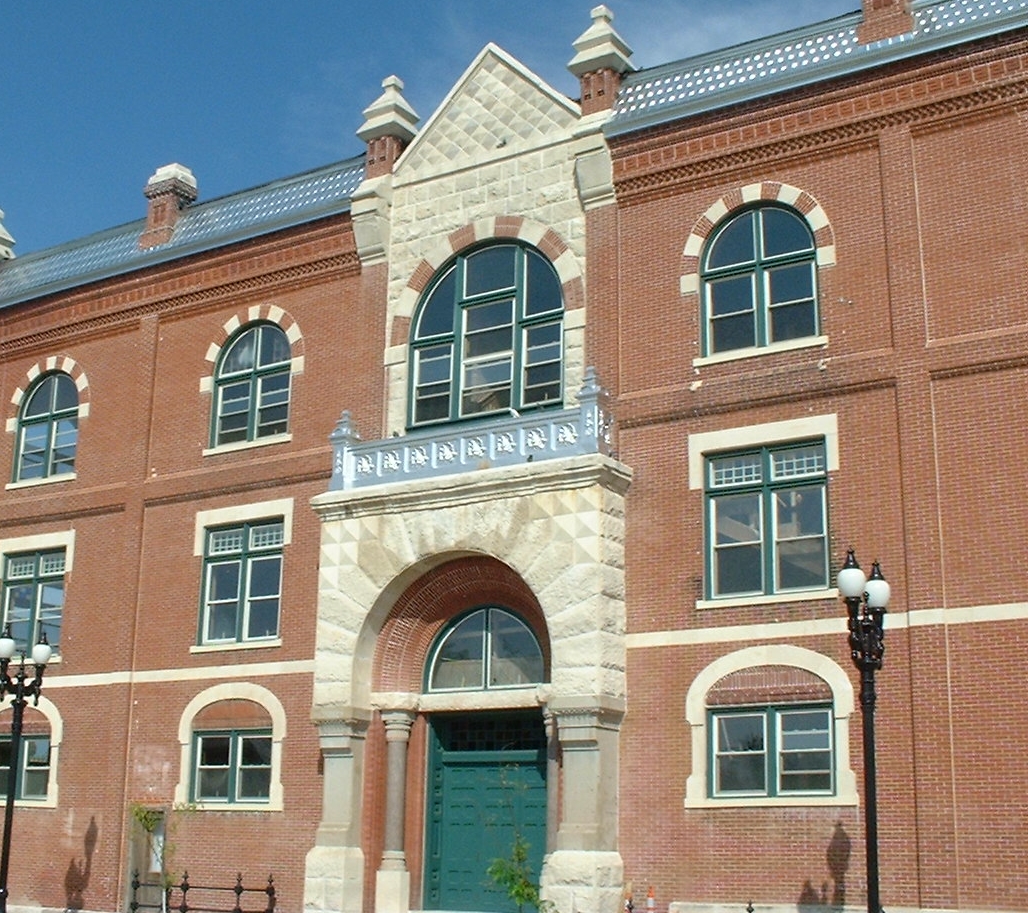
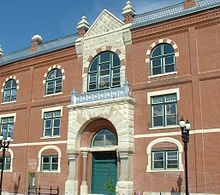 McPherson Opera House, 2004
Historical populations Census Pop. %± 1900 2,996 — 1910 3,546 18.4% 1920 4,595 29.6% 1930 6,147 33.8% 1940 7,194 17.0% 1950 8,689 20.8% 1960 9,996 15.0% 1970 10,851 8.6% 1980 11,753 8.3% 1990 12,422 5.7% 2000 13,770 10.9% 2010 13,155 −4.5% U.S. Decennial Census As of the census[2] of 2000, there were 13,770 people, 5,378 households, and 3,651 families residing in the city. The population density was 2,241.6 people per square mile (865.9/km²). There were 5,658 housing units at an average density of 921.0 per square mile (355.8/km²). The racial makeup of the city was 95.11% White, 1.31% African American, 0.36% Native American, 0.41% Asian, 0.09% Pacific Islander, 1.21% from other races, and 1.50% from two or more races. Hispanic or Latino of any race were 2.92% of the population.
There were 5,378 households out of which 32.6% had children under the age of 18 living with them, 57.7% were married couples living together, 7.2% had a female householder with no husband present, and 32.1% were non-families. 27.8% of all households were made up of individuals and 11.7% had someone living alone who was 65 years of age or older. The average household size was 2.43 and the average family size was 2.97.
In the city the population was spread out with 25.6% under the age of 18, 11.6% from 18 to 24, 26.4% from 25 to 44, 20.8% from 45 to 64, and 15.7% who were 65 years of age or older. The median age was 36 years. For every 100 females there were 94.3 males. For every 100 females age 18 and over, there were 91.6 males.
The median income for a household in the city was $40,469, and the median income for a family was $48,882. Males had a median income of $33,831 versus $20,633 for females. The per capita income for the city was $19,716. About 5.1% of families and 7.9% of the population were below the poverty line, including 4.8% of those under age 18 and 9.4% of those age 65 or over.
Education
Primary and secondary education
McPherson is part of Unified School District 418.[13][14]
Transporation
McPherson was located on the National Old Trails Road, also known as the Ocean-to-Ocean Highway, that was established in 1912.
Media
Print
McPherson has a daily newspaper, The McPherson Sentinel.[15]
Radio
The following radio stations are licensed to McPherson:
AM
Frequency Callsign[16] Format[17] Notes 1540 KNGL Talk FM
Frequency Callsign[18] Format[17] Notes 88.7 K204CR Christian Translator of KYFW-FM, Wichita, Kansas[19] 96.7 KBBE Oldies 107.7 K299AR Contemporary Christian Translator of KJRL-FM, Herington, Kansas[20] See also
- National Register of Historic Places listings in Harvey County, Kansas
- Santa Fe Trail
- National Old Trails Road
- Threshing Stone
References
- ^ a b "2010 City Population and Housing Occupancy Status". U.S. Census Bureau. http://factfinder2.census.gov/faces/tableservices/jsf/pages/productview.xhtml?pid=DEC_10_PL_GCTPL2.ST13&prodType=table. Retrieved March 6, 2011.
- ^ a b "American FactFinder". United States Census Bureau. http://factfinder.census.gov. Retrieved 2008-01-31.
- ^ "US Board on Geographic Names". United States Geological Survey. 2007-10-25. http://geonames.usgs.gov. Retrieved 2008-01-31.
- ^ "Find a County". National Association of Counties. http://www.naco.org/Counties/Pages/FindACounty.aspx. Retrieved 2011-06-07.
- ^ "First Biennial Report of the State Board of Agriculture to the Legislature of the State of Kansas, for the Years 1877-8". Rand, McNally, and Co.. http://skyways.lib.ks.us/genweb/archives/1878/mcpherson.shtml.
- ^ Marion County Kansas : Past and Present; Sondra Van Meter; MB Publishing House; LCCN 72-92041; 344 pages; 1972.
- ^ Fourth Annual Report of the Board of Railroad Commissioners for the Year Ending December 1, 1886 in State of Kansas; Kansas Publishing House; 1886.
- ^ Railway Abandonment 1968
- ^ Rock Island Rail History
- ^ Globe Refiners mural dedicated - The McPherson Sentinel - November 16, 2010
- ^ The Weight of Evidence - Time Magazine - April 28, 1997
- ^ "US Gazetteer files: 2010, 2000, and 1990". United States Census Bureau. 2011-02-12. http://www.census.gov/geo/www/gazetteer/gazette.html. Retrieved 2011-04-23.
- ^ USD 418
- ^ Kansas School District Boundary Map
- ^ "About this Newspaper: The McPherson sentinel". Chronicling America. Library of Congress. http://chroniclingamerica.loc.gov/lccn/sn85031128/. Retrieved 2009-10-05.
- ^ "AMQ AM Radio Database Query". Federal Communications Commission. http://www.fcc.gov/mb/audio/amq.html. Retrieved 2009-10-05.
- ^ a b "Station Information Profile". Arbitron. http://www.arbitron.com/radio_stations/station_information.htm. Retrieved 2009-10-05.
- ^ "FMQ FM Radio Database Query". Federal Communications Commission. http://www.fcc.gov/mb/audio/fmq.html. Retrieved 2009-10-05.
- ^ "K204CR-FM 88.7 MHz". Radio-Locator. Theodric Technologies LLC. http://www.radio-locator.com/cgi-bin/info?call=K204CR&service=FX. Retrieved 2009-10-05.
- ^ "KJRL-FM 105.7 MHz". Radio-Locator. Theodric Technologies LLC. http://www.radio-locator.com/cgi-bin/finder?sr=Y&call=KJRL. Retrieved 2009-10-05.
Further reading
- Kansas
- History of the State of Kansas; William G. Cutler; A.T. Andreas Publisher; 1883. (Online HTML eBook)
- Kansas : A Cyclopedia of State History, Embracing Events, Institutions, Industries, Counties, Cities, Towns, Prominent Persons, Etc; 3 Volumes; Frank W. Blackmar; Standard Publishing Co; 944 / 955 / 824 pages; 1912. (Volume1 - Download 54MB PDF eBook),(Volume2 - Download 53MB PDF eBook), (Volume3 - Download 33MB PDF eBook)
- USA
- The Story of the Marking of the Santa Fe Trail by the Daughters of the American Revolution in Kansas and the State of Kansas; Almira Cordry; Crane Co; 164 pages; 1915. (Download 4MB PDF eBook)
- The National Old Trails Road To Southern California, Part 1 (LA to KC); Automobile Club Of Southern California; 64 pages; 1916. (Download 6.8MB PDF eBook)
External links
- City
- Newspaper
- Schools
- USD 418, local school district
- Maps
- McPherson City Map, KDOT
- McPherson County Map, KDOT
Municipalities and communities of McPherson County, Kansas Cities 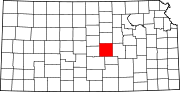
Unincorporated
communitiesGhost towns Christian | Elivon
Footnotes ‡This populated place also has portions in an adjacent county or counties
Categories:- Cities in Kansas
- County seats in Kansas
- Populated places in McPherson County, Kansas
- Micropolitan areas of Kansas
- Populated places established in 1872


Wikimedia Foundation. 2010.