- National Register of Historic Places listings in Harvey County, Kansas
-
 Location of Harvey County in Kansas
This is a list of the National Register of Historic Places listings in Harvey County, Kansas.
This is intended to be a complete list of the properties and districts on the National Register of Historic Places in Harvey County, Kansas, United States. The locations of National Register properties and districts for which the latitude and longitude coordinates are included below, may be seen in a Google map.[1]
There are 22 properties and districts listed on the National Register in the county, including 1 National Historic Landmark.
-
- This National Park Service list is complete through NPS recent listings posted November 10, 2011.[2]
Current listings
[3] Landmark name [4] Image Date listed Location City or town Summary 1 Bergtholdt House October 10, 1996 205 E. 5th
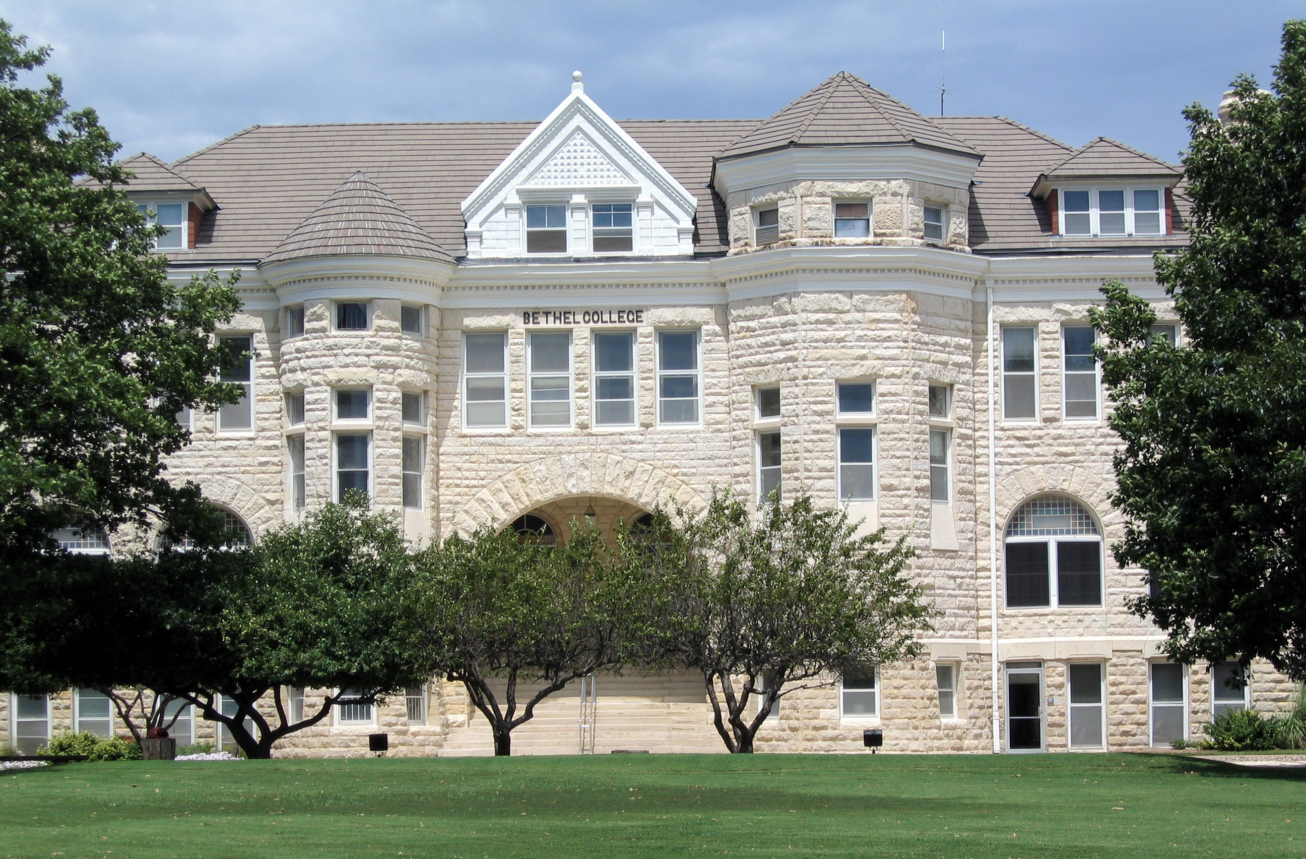
38°00′34″N 97°30′13″W / 38.009444°N 97.503611°WHalstead 2 Bethel College Administration Building 
March 16, 1972 Bethel College campus
38°04′28″N 97°20′32″W / 38.074444°N 97.342222°WNorth Newton 3 Samuel A. Brown House October 17, 1988 302 W. 6th
38°02′55″N 97°20′51″W / 38.048611°N 97.3475°WNewton 4 Carnegie Library May 31, 1974 203 Main St.
38°02′39″N 97°20′42″W / 38.044167°N 97.345°WNewton 5 Coleman House March 2, 2001 408 Mead St.
38°02′01″N 97°20′15″W / 38.033611°N 97.3375°WNewton 6 David Goerz House October 31, 2002 2512 N. College Ave.
38°04′20″N 97°20′17″W / 38.072222°N 97.338056°WNorth Newton 7 Halstead Santa Fe Depot October 11, 2001 116 E. 1st St.
38°00′21″N 97°30′17″W / 38.005833°N 97.504722°WHalstead 8 E.H. Hoag House April 12, 2001 303 W. Broadway
38°03′05″N 97°20′54″W / 38.051389°N 97.348333°WNewton 9 J.J. Krehbiel and Company Carriage Factory July 6, 2010 128-130 East 6th St.
38°02′56″N 97°20′36″W / 38.048889°N 97.343333°WNewton 10 Lincoln School January 13, 2004 406 W. 6th St.
38°02′56″N 97°21′03″W / 38.048889°N 97.350833°WNewton 11 McKinley Residential Historic District July 9, 2008 Roughly E. 5th St., SE 3rd St., Allison St., and Walnut St.
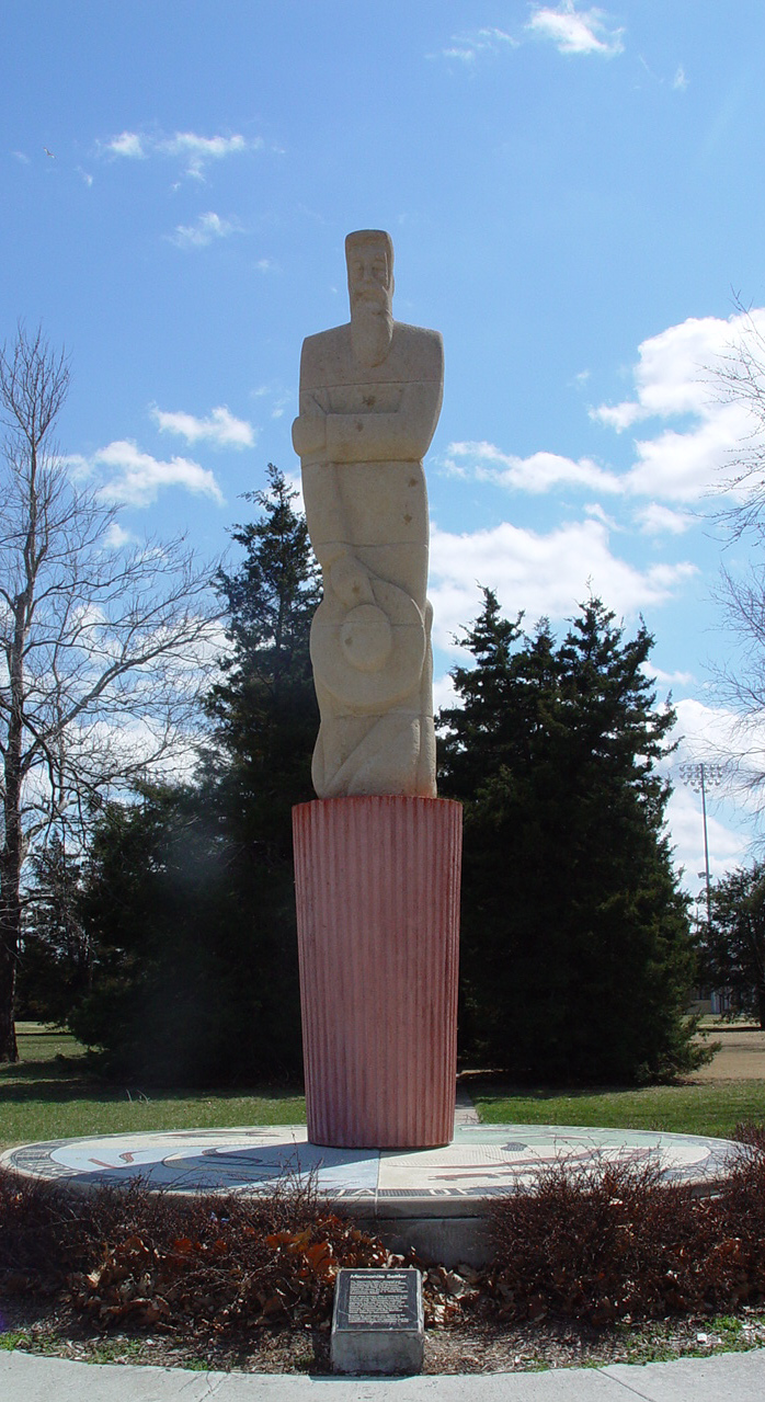
38°02′26″N 97°20′38″W / 38.040556°N 97.343889°WNewton 12 Mennonite Settler Statue 
February 26, 1998 Athletic Park Dr.
38°02′45″N 97°21′23″W / 38.045833°N 97.356389°WNewton 13 Jairus Neal House May 6, 1982 301 E. 4th St.
38°02′45″N 97°20′26″W / 38.045833°N 97.340556°WNewton 14 Newton Main Street Historic District I November 15, 2003 200 through 214 and 203 through 301 N. Main St.
38°02′48″N 97°20′43″W / 38.046667°N 97.345278°WNewton 15 Newton Main Street Historic District II 
November 15, 2003 411-825 N. Main St. and 414-726 N. Main St.
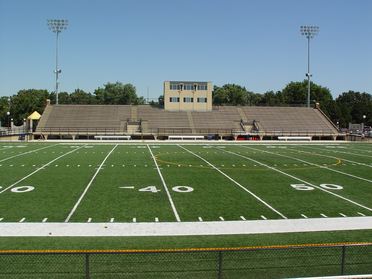
38°02′57″N 97°20′43″W / 38.049167°N 97.345278°WNewton 16 Newton Stadium 
January 14, 2004 Athletic Park
38°02′41″N 97°21′23″W / 38.044722°N 97.356389°WNewton 17 Old Railroad Savings and Loan Building May 6, 1982 500 Main St.
38°02′52″N 97°20′39″W / 38.047778°N 97.344167°WNewton 18 Santa Fe Depot 
April 11, 1985 414 N. Main
38°02′58″N 97°20′39″W / 38.049444°N 97.344167°WNewton 19 US Post Office-Halstead October 17, 1989 319 Main St.
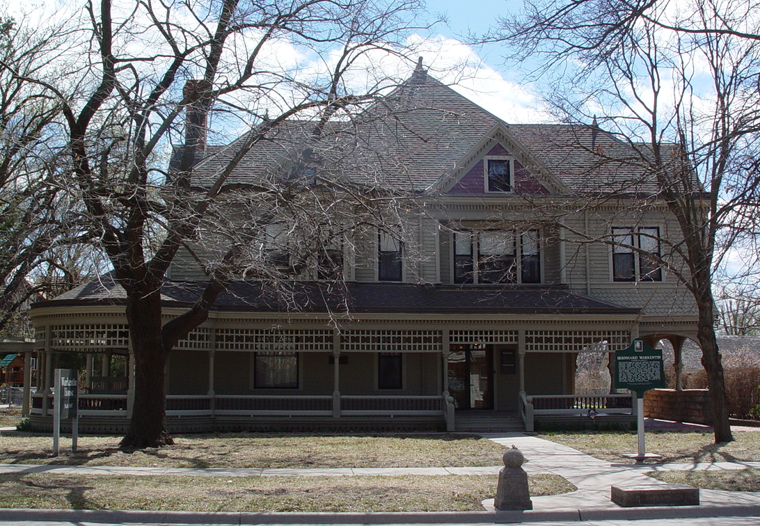
38°00′08″N 97°30′22″W / 38.002222°N 97.506111°WHalstead 20 Warkentin House 
January 12, 1970 211 E. 1st St.
38°02′36″N 97°20′23″W / 38.043333°N 97.339722°WNewton 21 Warkentin Mill January 12, 1970 3rd and Main Sts.
38°02′43″N 97°20′42″W / 38.045278°N 97.345°WNewton 22 Bernhard Warkentin Homestead February 15, 1974 North of Halstead
38°00′27″N 97°30′08″W / 38.0075°N 97.502222°WHalstead See also
- List of National Historic Landmarks in Kansas
- National Register of Historic Places listings in Kansas
References
- ^ The latitude and longitude information provided in this table was derived originally from the National Register Information System, which has been found to be fairly accurate for about 99% of listings. For about 1% of NRIS original coordinates, experience has shown that one or both coordinates are typos or otherwise extremely far off; some corrections may have been made. A more subtle problem causes many locations to be off by up to 150 yards, depending on location in the country: most NRIS coordinates were derived from tracing out latitude and longitudes off of USGS topographical quadrant maps created under the North American Datum of 1927, which differs from the current, highly accurate WGS84 GPS system used by Google maps. Chicago is about right, but NRIS longitudes in Washington are higher by about 4.5 seconds, and are lower by about 2.0 seconds in Maine. Latitudes differ by about 1.0 second in Florida. Some locations in this table may have been corrected to current GPS standards.
- ^ "National Register of Historic Places: Weekly List Actions". National Park Service, United States Department of the Interior. Retrieved on November 10, 2011.
- ^ Numbers represent an ordering by significant words. Various colorings, defined here, differentiate National Historic Landmark sites and National Register of Historic Places Districts from other NRHP buildings, structures, sites or objects.
- ^ "National Register Information System". National Register of Historic Places. National Park Service. . http://nrhp.focus.nps.gov/natreg/docs/All_Data.html.
Municipalities and communities of Harvey County, Kansas Cities 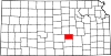
Townships Unincorporated
communitiesMcLain | Patterson | Putnam | Zimmerdale
Ghost town Footnotes ‡This populated place also has portions in an adjacent county or counties
Categories:- Harvey County, Kansas
- National Register of Historic Places in Kansas by county
- Buildings and structures in Harvey County, Kansas
-


Wikimedia Foundation. 2010.